|
USS Gadsden (AK-182)
USS ''Gadsden'' (AK-182) was an acquired by the U.S. Navy during the final months of World War II. She served the Pacific Ocean theatre of operations for a short period of time before being decommissioned and returned to the U.S. Maritime Administration. Construction ''Gadsden'' was launched 8 April 1944, under Maritime Commission contract, MC hull 2113, by Walter Butler Shipbuilders, Inc., Superior, Wisconsin; sponsored by Mrs. Morgan Murphy of Superior; acquired by the Navy on loan-charter basis 26 December 1944; and commissioned at New Orleans, Louisiana, 28 February 1945. Service history World War II service After shakedown in the Gulf of Mexico, ''Gadsden'' departed New Orleans 31 March 1945, with a cargo of frozen meat and ammunition for Ulithi, Western Caroline Islands, where she arrived on 11 May after 34 days at sea. From there she proceeded to Kossol Roads, Palau Islands for a 3-day stay marked by alerts for enemy suicide swimmers. She was convoyed by way of Leyte to ... [...More Info...] [...Related Items...] OR: [Wikipedia] [Google] [Baidu] |
Oerlikon 20 Mm Cannon
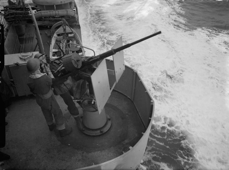
The Oerlikon 20 mm cannon is a series of autocannons based on an original German Becker Type M2 20 mm cannon design that appeared very early in World War I. It was widely produced by Oerlikon Contraves and others, with various models employed by both Allied and Axis forces during World War II. Many versions of the cannon are still used. Blowback-operated models History Origins During World War I, the German industrialist Reinhold Becker developed a 20 mm caliber cannon, known now as the 20 mm Becker using the advanced primer ignition blowback (API blowback) method of operation. This used a 20×70mmRB cartridge and had a cyclic rate of fire of 300 rpm. It was used on a limited scale as an aircraft gun on ''Luftstreitkräfte'' warplanes, and an anti-aircraft gun towards the end of that war. Because the Treaty of Versailles banned further production of such weapons in Germany, the patents and design works were transferred in 1919 to the Swiss firm SEMAG (''Seebach M ... [...More Info...] [...Related Items...] OR: [Wikipedia] [Google] [Baidu] |
Morotai Island
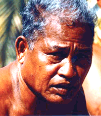
Morotai Island Regency () is a regency of North Maluku province, Indonesia, located on Morotai island (). It covers an area of 2,336.6 km2 including the smaller Rao Island to the west of Morotai. The population was 52,860 at the 2010 censusBiro Pusat Statistik, Jakarta, 2011. and 74,436 at the 2020 census;Badan Pusat Statistik, Jakarta, 2021. the official estimate as at mid 2023 was 80,566 (comprising 41,461 males and 39,105 females).Badan Pusat Statistik, Jakarta, 28 February 2024, ''Kabupaten Pulau Morotai Dalam Angka 2024'' (Katalog-BPS 1102001.8207) The population of the southern third of the island, as well as Rao Island, are Galela speakers, while that of the northern two-thirds are Tobalo speakers. The island in the Halmahera group of eastern Indonesia's Maluku Islands (Moluccas); it is one of Indonesia's northernmost islands. Morotai is a rugged, forested island lying to the north of Halmahera. It has an area of some , including Rao Island which lies to the west of Mo ... [...More Info...] [...Related Items...] OR: [Wikipedia] [Google] [Baidu] |
Leyte
Leyte ( ) is an island in the Visayas group of islands in the Philippines. It is eighth-largest and sixth-most populous island in the Philippines, with a total population of 2,626,970 as of 2020 census. Since the accessibility of land has been depleted, Leyte has provided countless number of migrants to Mindanao. Most inhabitants are farmers. Fishing is a supplementary activity. Rice and corn (maize) are the main food crops; cash crops include coconuts, abaca, tobacco, bananas, and sugarcane. There are some manganese deposits, and sandstone and limestone are quarried in the northwest. Politically, the island is divided into two provinces: (Northern) Leyte and Southern Leyte. Territorially, Southern Leyte includes the island of Panaon to its south. To the north of Leyte is the island province of Biliran, a former sub-province of Leyte. The major cities of Leyte are Tacloban, on the eastern shore at the northwest corner of Leyte Gulf, and Ormoc, on the west coast. Leyte tod ... [...More Info...] [...Related Items...] OR: [Wikipedia] [Google] [Baidu] |
Palau Islands
Palau, officially the Republic of Palau, is an island country in the Micronesia subregion of Oceania in the western Pacific Ocean. The Republic of Palau consists of approximately 340 islands and is the western part of the Caroline Islands, while the eastern and central parts make up the Federated States of Micronesia. It has a total area of , making it the sixteenth smallest country in the world. The most populous island is Koror, home to the country's most populous city of the same name. The capital, Ngerulmud, is located on the largest island of Babeldaob, in Melekeok State. Palau shares maritime boundaries with international waters to the north, the Federated States of Micronesia to the east, Indonesia to the south, and the Philippines to the northwest. The country was originally settled approximately 3,000 years BP by migrants from Maritime Southeast Asia. Palau was first drawn on a European map by the Bohemian missionary Paul Klein based on a description given b ... [...More Info...] [...Related Items...] OR: [Wikipedia] [Google] [Baidu] |
Kossol Roads
Kossol Roads is a large body of reef-enclosed water north of Babeldaob in northern Palau at .Kossol Roads at Pacific War Online Encyclopaedia Accessed 28 December 2021 Kossol Roads is also known as: Kossol Passage, Kawassak, Garaseg, Kanal von Kossol, Kossol Durchfahrt, Kossoi Passage, Kosusoru-suido, Toachel Ngkesol, Kawassak, and Ngkesol. At the outbreak of , Kossol Roads was under Japanese control. American forces seized it in September 1944, after which the United States Navy
The United States Navy (USN) is the ...
[...More Info...] [...Related Items...] OR: [Wikipedia] [Google] [Baidu] |
Caroline Islands
The Caroline Islands (or the Carolines) are a widely scattered archipelago of tiny islands in the western Pacific Ocean, to the north of New Guinea. Politically, they are divided between the Federated States of Micronesia (FSM) in the central and eastern parts of the group, and Palau at the extreme western end. Historically, this area was also called ''Nuevas Filipinas'' or New Philippines, because they were part of the Spanish East Indies and were governed from Manila in the Philippines. The Carolines are scattered across a distance of approximately , from the westernmost island, Tobi (island), Tobi, in Palau, to the easternmost island, Kosrae, a Administrative divisions of the Federated States of Micronesia, state of the FSM. Description The group consists of about 500 small coral islands, east of the Philippines, in the Pacific Ocean. The distance from Yap (one of the larger Caroline islands) to Manila is . Most of the islands are made up of low, flat atoll, coral ato ... [...More Info...] [...Related Items...] OR: [Wikipedia] [Google] [Baidu] |
Ulithi
Ulithi (, , or ; pronounced roughly as YOU-li-thee) is an atoll in the Caroline Islands of the western Pacific Ocean, about east of Yap, within Yap State. Name The name of the island goes back to Chuukic languages, Proto-Chuukic ''*úlú-diwo''. Overview Ulithi consists of 40 islets totaling , surrounding a lagoon about long and up to wide—at one of the largest in the world. It is administered by the Yap State, state of Yap in the Federated States of Micronesia. Ulithi's population was 773 in 2000. There are four inhabited islands on Ulithi Atoll. They are Falalop (), Asor ''(Yasor)'', Mogmog ''(Mwagmwog)'', and Fedarai ''(Fedraey)''. Falalop is the most accessible with Ulithi Airport, a small resort hotel, store and one of three public high schools in Yap state. Mogmog is the seat of the high chief of Ulithi Atoll though each island has its own chief. Other important islands are Losiap (), Sorlen ''(Sohl'oay)'', and Potangeras ''(Potoangroas)''. The atoll is in the ... [...More Info...] [...Related Items...] OR: [Wikipedia] [Google] [Baidu] |
New Orleans
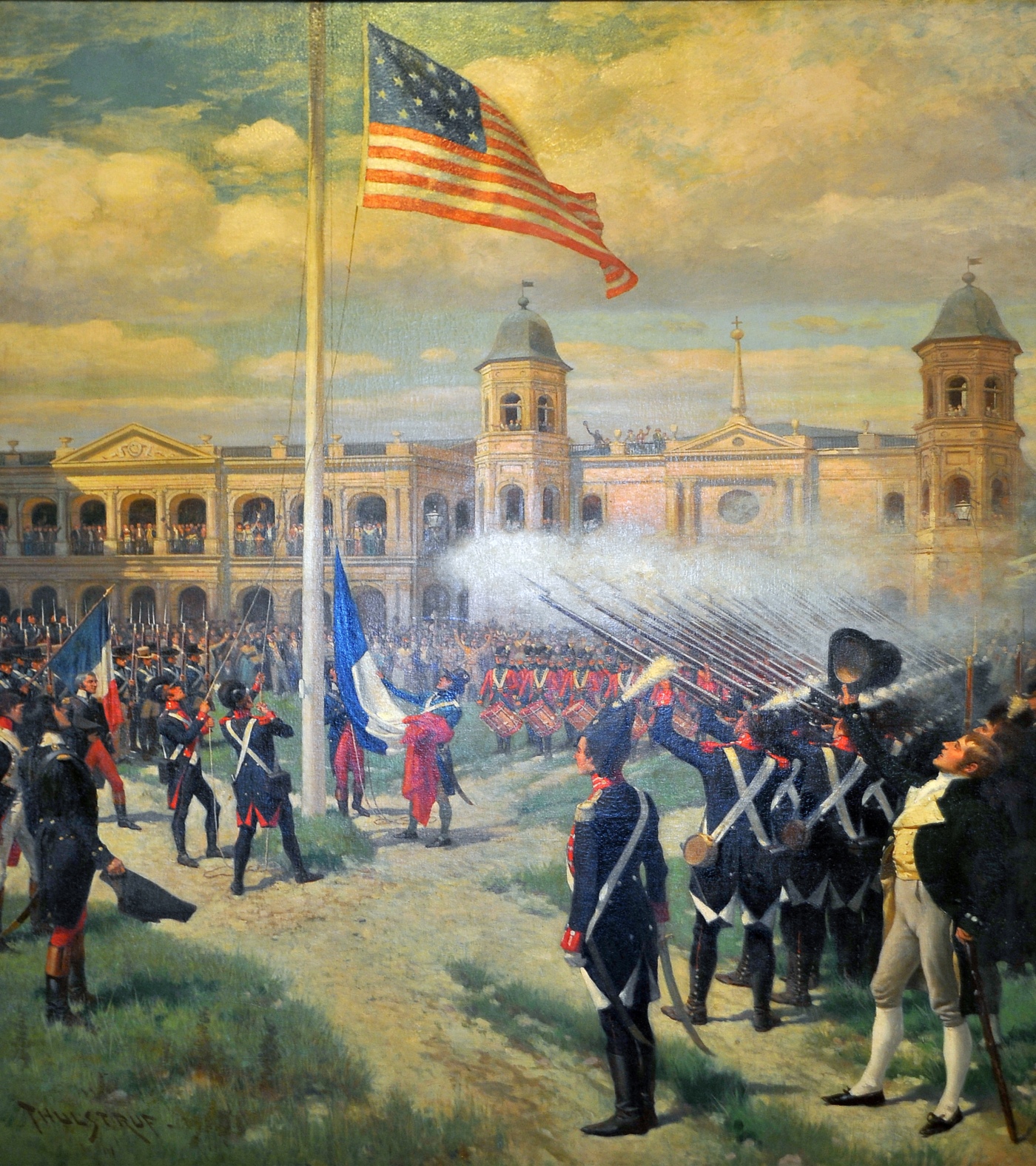
New Orleans (commonly known as NOLA or The Big Easy among other nicknames) is a Consolidated city-county, consolidated city-parish located along the Mississippi River in the U.S. state of Louisiana. With a population of 383,997 at the 2020 United States census, 2020 census, it is the List of municipalities in Louisiana, most populous city in Louisiana and the French Louisiana region, the second-most populous in the Deep South, and the twelfth-most populous in the Southeastern United States. The city is coextensive with Orleans Parish, Louisiana, Orleans Parish. New Orleans serves as a major port and a commercial hub for the broader Gulf Coast of the United States, Gulf Coast region. The New Orleans metropolitan area has a population of approximately 1 million, making it the most populous metropolitan area in Louisiana and the List of metropolitan statistical areas, 59th-most populous in the United States. New Orleans is world-renowned for Music of New Orleans, its distincti ... [...More Info...] [...Related Items...] OR: [Wikipedia] [Google] [Baidu] |
Gulf Of Mexico
The Gulf of Mexico () is an oceanic basin and a marginal sea of the Atlantic Ocean, mostly surrounded by the North American continent. It is bounded on the northeast, north, and northwest by the Gulf Coast of the United States; on the southwest and south by the Mexican states of Tamaulipas, Veracruz, Tabasco, Campeche, Yucatán, and Quintana Roo; and on the southeast by Cuba. The coastal areas along the Southern U.S. states of Texas, Louisiana, Mississippi, Alabama, and Florida, which border the Gulf on the north, are occasionally referred to as the "Third Coast" of the United States (in addition to its Atlantic and Pacific coasts), but more often as "the Gulf Coast". The Gulf of Mexico took shape about 300 million years ago (mya) as a result of plate tectonics. The Gulf of Mexico basin is roughly oval and is about wide. Its floor consists of sedimentary rocks and recent sediments. It is connected to part of the Atlantic Ocean through the Straits of Florida between the ... [...More Info...] [...Related Items...] OR: [Wikipedia] [Google] [Baidu] |
Shakedown Cruise
Shakedown cruise is a nautical term in which the performance of a ship is tested. Generally, shakedown cruises are performed before a ship enters service or after major changes such as a crew change, repair, refit or overhaul. The shakedown cruise simulates working conditions for the vessel, for various reasons. For most new ships, the major reasons are to familiarise a crew with a new vessel and to ensure all of the ship's systems are functional. Overview If the ship is the first of its class, it will likely also be performing its sea trials, a test of its performance. In this context, 'shakedown cruise' and 'sea trials' may be used interchangeably, though each has a slightly different meaning. In such a case, it is likely that the ship's systems will be pushed to redline, or maximum capacity, to demonstrate the class's speed and other important traits. Until bested by another ship of the same class, this shakedown performance will be the standard of the class's capabiliti ... [...More Info...] [...Related Items...] OR: [Wikipedia] [Google] [Baidu] |
New Orleans, Louisiana
New Orleans (commonly known as NOLA or The Big Easy among other nicknames) is a Consolidated city-county, consolidated city-parish located along the Mississippi River in the U.S. state of Louisiana. With a population of 383,997 at the 2020 United States census, 2020 census, it is the List of municipalities in Louisiana, most populous city in Louisiana and the French Louisiana region, the second-most populous in the Deep South, and the twelfth-most populous in the Southeastern United States. The city is coextensive with Orleans Parish, Louisiana, Orleans Parish. New Orleans serves as a major port and a commercial hub for the broader Gulf Coast of the United States, Gulf Coast region. The New Orleans metropolitan area has a population of approximately 1 million, making it the most populous metropolitan area in Louisiana and the List of metropolitan statistical areas, 59th-most populous in the United States. New Orleans is world-renowned for Music of New Orleans, its distincti ... [...More Info...] [...Related Items...] OR: [Wikipedia] [Google] [Baidu] |


