|
Mountain Fire (2024)
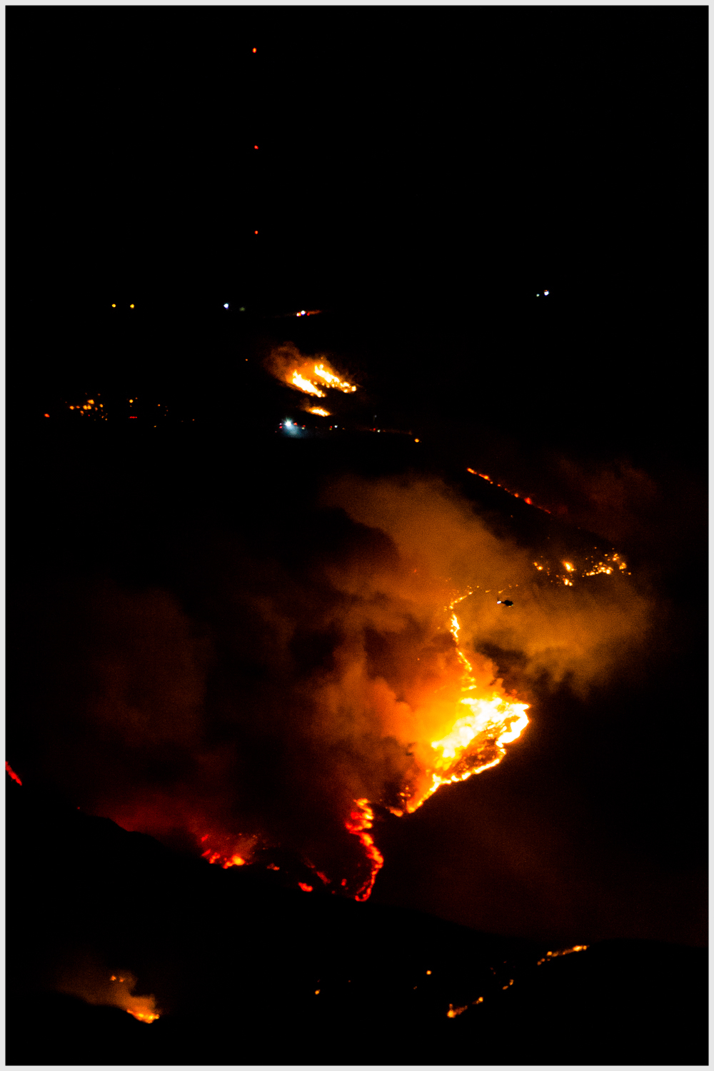
The Mountain Fire was a destructive and fast-moving wildfire in Ventura County, Southern California, in November of 2024. The fire burned , destroyed and damaged hundreds of buildings, and caused multiple injuries. Background The Mountain Fire began shortly before 9:00 a.m. PST on November 6 during an episode of strong Santa Ana winds in Southern California. The National Weather Service's Storm Prediction Center delineated an "extremely critical" risk area on their Day 1 fire weather outlook, warning of low relative humidity values combined with a strong wind event with gusts of over . The National Weather Service office in Los Angeles issued a ' particularly dangerous situation' red flag warning for November 6-7 in the area; it was the first such issuance in the Los Angeles area since 2020. The ''Los Angeles Times'' called it "the most extreme Santa Ana wind event to hit Southern California in years". Progression The fire was first reported at 8:50 a.m. PST "near the 7900 ... [...More Info...] [...Related Items...] OR: [Wikipedia] [Google] [Baidu] |
2024 California Wildfires
By the end of 2024, a total of 8,024 wildfires burned a cumulative throughout the U.S. state of California. The total number of wildfires was slightly higher than the five-year average, while the total number of acres burned was lower. Wildfires destroyed a total of 1,716 structures and killed one person in the state in 2024. This season had the most burned acres since the 2021 California wildfires, 2021 wildfire season. Background The timing of "fire season" in California is variable, depending on the amount of prior winter and spring precipitation, the frequency and severity of weather such as heat waves and wind events, and moisture content in vegetation. Northern California typically sees wildfire activity between late spring and early fall, peaking in the summer with hotter and drier conditions. Occasional cold frontal passages can bring wind and lightning. The timing of fire season in Southern California is similar, peaking between late spring and fall. The severity and ... [...More Info...] [...Related Items...] OR: [Wikipedia] [Google] [Baidu] |
Ventura County Fire Department
The Ventura County Fire Department (VCFD) provides fire protection and emergency response services for the unincorporated areas of Ventura County, California, and for seven other cities within the county. Together, these areas compose the Ventura County Fire Protection District in the state of California, USA. The Ventura County Board of Supervisors is the fire district's board of directors. These five elected supervisors appoint the fire chief, and task him with providing fire protection services for the district. In addition to the unincorporated areas of Ventura County, the department currently provides the following cities with service: Camarillo, Moorpark, Ojai, Port Hueneme, Santa Paula, Simi Valley, and Thousand Oaks. History On May 11, 1928 the Ventura County Fire Protection District (VCFPD) was established. It wasn't for another two years that a 24-hour Fire Warden was placed on duty. As the population of the county grew, the VCFD grew as well. In 1946 the d ... [...More Info...] [...Related Items...] OR: [Wikipedia] [Google] [Baidu] |
Maria Fire
The Maria Fire was a wildfire that burned the south of the community of Santa Paula in the area of Somis, California on the top of South Mountain in Ventura County. The fire ignited in the evening hours of Thursday, October 31, 2019 and consumed well over within its first several hours of burning. Despite the aggressive initial attack by first responders, the fire exploded rapidly due to a strong Santa Ana wind event that was occurring in the area during its ignition. Events On the eve of Thursday, October 31, at 6:13 pm, the Maria fire was reported burning at the top of South Mountain between Santa Paula and Somis and was seen making an aggressive run southwest towards the community of Somis as the fire expanded throughout that evening. Heavily influenced by 20-30 mph winds within the canyons, the fire became a full scale conflagration within its first several hours of burning, growing from 50 to 750 acres inside an hour, to over by 9:45 pm. The fire worked its way north toward ... [...More Info...] [...Related Items...] OR: [Wikipedia] [Google] [Baidu] |
List Of California Wildfires
This is a partial and incomplete list of California wildfires. California has dry, windy, and often hot weather conditions from spring through late autumn that can produce moderate to severe wildfires. Pre-1800, when the area was much more forested and the ecology much more resilient, 4.4 million acres (1.8 million hectares) of forest and shrubland burned annually. California land area totals 99,813,760 or roughly 100 million acres, so since 2000, the area that burned annually has ranged between 90,000 acres, or 0.09%, and 1,590,000 acres, or 1.59% of the total land of California. During the 2020 wildfire season alone, over 8,100 fires contributed to the burning of nearly 4.5 million acres of land. Wildfires in California are growing more dangerous because of the accumulation of wood fuel in forests, higher population and greater electricity transmission and distribution lines. United States taxpayers pay about US$3 billion a year to fight wildfires, and big fires can lead to ... [...More Info...] [...Related Items...] OR: [Wikipedia] [Google] [Baidu] |
Glossary Of Wildfire Terms
This glossary of wildfire terms is a list of definitions of terms and concepts relevant to wildfires and wildland firefighting. Except where noted, terms have largely been sourced from a 1998 Fireline Handbook transcribed for a Conflict 21 counter-terrorism studies website by the Air National Guard. from an Air National Guard website For related terminology, see and |
KABC-TV
KABC-TV (channel 7) is a television station in Los Angeles, California, United States, serving as the West Coast flagship of the ABC network. Owned and operated by the network's ABC Owned Television Stations division, the station maintains studios in the Grand Central Business Centre of Glendale, and its transmitter is located on Mount Wilson. History Channel 7 first signed on the air under the call sign KECA-TV on September 16, 1949. It was the last television station licensed to Los Angeles operating on the VHF band to debut and the last of ABC's five original owned-and-operated stations to make its debut, after San Francisco's KGO-TV, which signed on four months earlier. It was also the last of the Los Angeles "classic seven" TV stations which were originally on the VHF dial, prior to the 2009 digital conversions. (No other stations debuted in Los Angeles until 1962, when the first two UHF Los Angeles stations launched (KIIX ow KWHY-TVand KMEX-TV">KWHY-TV">ow ... [...More Info...] [...Related Items...] OR: [Wikipedia] [Google] [Baidu] |
Aerial Firefighting
Aerial may refer to: Music * ''Aerial'' (album), by Kate Bush * ''Aerials'' (song), from the album ''Toxicity'' by System of a Down Bands * Aerial (Canadian band) *Aerial (Scottish band) *Aerial (Swedish band) Performance art *Aerial silk, apparatus used in aerial acrobatics * Aerialist, an acrobat who performs in the air Recreation and sport *Aerial (dance move) * Aerial (skateboarding) * Aerial adventure park, ropes course with a recreational purpose * Aerial cartwheel (or side aerial), gymnastics move performed in acro dance and various martial arts *Aerial skiing Aerial skiing or aerials is a freestyle skiing discipline where athletes ski down a slope to launch themselves off a kicker (a vertically inclined ramp) and perform multiple twists and flips before landing on an inclined landing hill. Aerialists ..., discipline of freestyle skiing * Front aerial, gymnastics move performed in acro dance Technology Antennas * Aerial (radio), a radio ''antenna'' or t ... [...More Info...] [...Related Items...] OR: [Wikipedia] [Google] [Baidu] |
Fixed-wing Aircraft
A fixed-wing aircraft is a heavier-than-air Aircraft, flying machine, such as an airplane, which is capable of flight using wings that generate Lift (force), lift caused by the aircraft's forward airspeed and the wing configuration, shape of the wings. Fixed-wing aircraft are distinct from rotorcraft, rotary-wing aircraft (in which the wings form a Helicopter rotor, rotor mounted on a spinning shaft or "mast"), and ornithopters (in which the wings bird flight#Flapping flight, flap in a manner similar to that of a bird). The wings of a fixed-wing aircraft are not necessarily rigid; kites, hang gliders, variable-sweep wing aircraft and airplanes that use wing morphing are all examples of fixed-wing aircraft. Gliding flight, Gliding fixed-wing aircraft, including free-flying Glider (aircraft), gliders of various kinds and tethered kites, can use moving air to gain altitude. Powered aircraft, Powered fixed-wing aircraft (airplanes) that gain forward thrust from an aircraft engine, ... [...More Info...] [...Related Items...] OR: [Wikipedia] [Google] [Baidu] |
KTLA
KTLA (channel 5) is a television station in Los Angeles, California, United States, serving as the West Coast flagship of The CW. It is the largest directly owned property of the network's majority owner, Nexstar Media Group, and is the second-largest operated property after WPIX in New York City. KTLA's studios are located at the Sunset Bronson Studios on Sunset Boulevard in Hollywood, and its transmitter is located atop Mount Wilson. KTLA was the first commercially licensed television station in the western United States, having begun operations in January 1947. Although not as widespread in national carriage as its Chicago sister station WGN-TV, KTLA is available as a superstation via DirecTV and Dish Network (the latter service available only to grandfathered subscribers that had purchased its a la carte superstation tier before Dish halted sales of the package to new subscribers in September 2013), as well as on cable providers in select cities within the southw ... [...More Info...] [...Related Items...] OR: [Wikipedia] [Google] [Baidu] |
California State Route 118
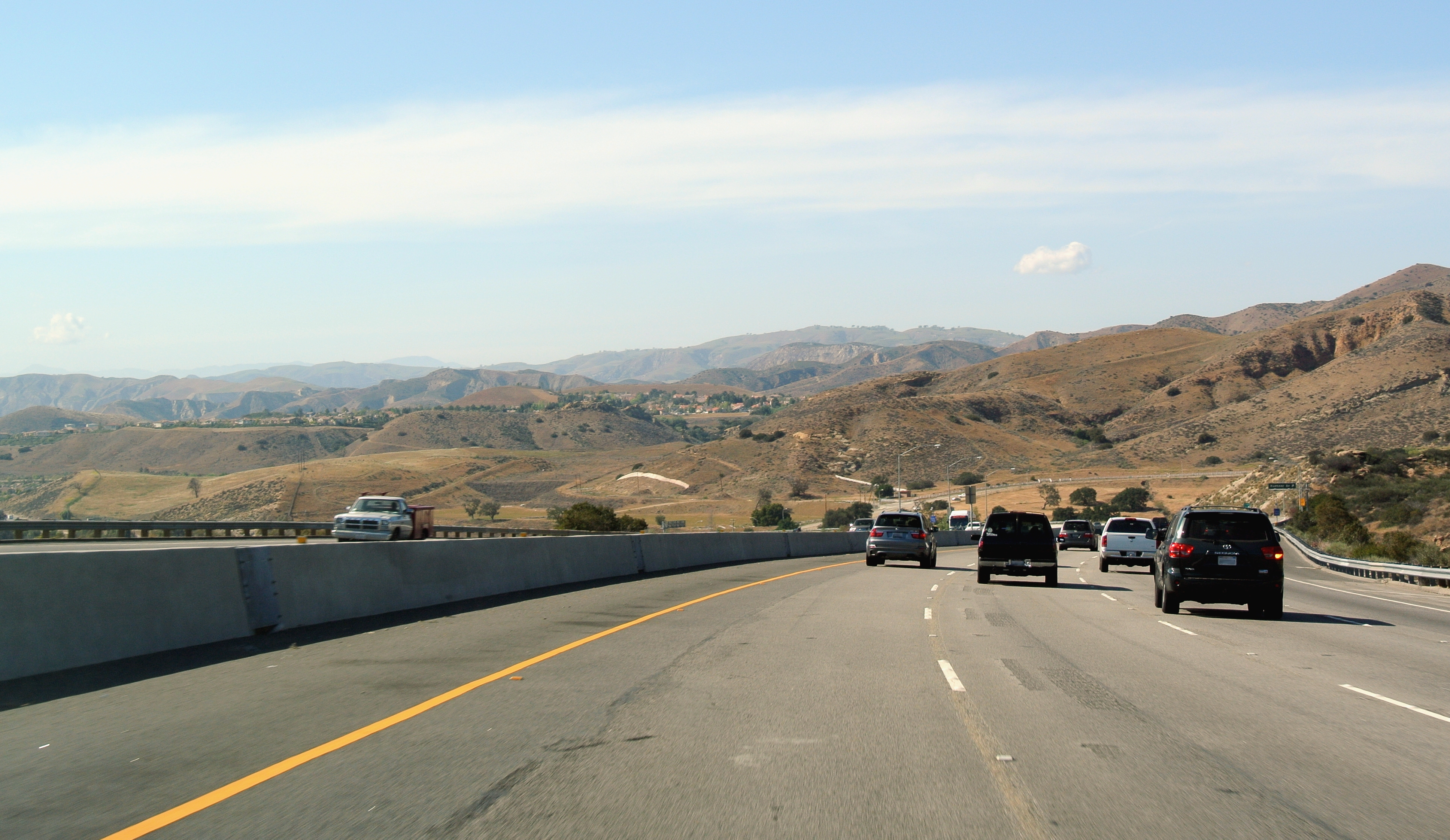
State Route 118 (SR 118) is a state highway in the U.S. state of California that runs west to east through Ventura and Los Angeles counties. It travels from State Route 126 at the eastern edge of Ventura immediately northwest of Saticoy, then through Saticoy, in Ventura County east to Interstate 210 near Lake View Terrace in Los Angeles. SR 118 crosses the Santa Susana Pass and the northern rim of the San Fernando Valley along its route. Route description SR 118 has two distinguishable sections, which connect at the intersection with State Route 23. The western section of SR 118 goes through the more rural areas of Ventura County. SR 118 begins at an intersection with SR 126 in Ventura as Wells Road and heads southeast, crossing the Santa Clara River as Los Angeles Avenue and intersecting SR 232 in unincorporated Ventura County. The highway continues southeast before intersecting Santa Clara Avenue, where Los Angeles Avenue turns east and passes north of Camarillo. ... [...More Info...] [...Related Items...] OR: [Wikipedia] [Google] [Baidu] |
Somis, California
Somis (; Chumash: ''Śo Mís'') is an unincorporated community in Ventura County, California. It was established in 1892 by Thomas Bard and D.T. Perkins on a portion of the Rancho Las Posas Mexican land grant. Somis is in the Las Posas Valley"SUBSEQUENT ENVIRONMENTAL IMPACT REPORT FOR FOCUSED GENERAL PLAN UPDATE and Related Amendments to the Non-Coastal Zoning Ordinance and Zone Change ZN05-0008" '''' (June 22, 2005) on the south bank of Fox Barranca, just west of Arroyo Las Posas. For statistical purposes, the United States Census ... [...More Info...] [...Related Items...] OR: [Wikipedia] [Google] [Baidu] |
National Weather Service Los Angeles–Oxnard
The National Weather Service Los Angeles is a local office of the National Weather Service responsible for monitoring weather conditions in Los Angeles, Ventura, Santa Barbara, and San Luis Obispo counties, as well as adjacent coastal waters out 60 nautical miles. The NWS Los Angeles office serves the third-most populous district in the nation, after NWS New York City and NWS Philadelphia. History The Signal Service established an office at Los Angeles in 1877, at the corner of Main and Commercial Streets, with the Weather Bureau assuming responsibility in 1890. During the 1940s, the city office moved to the Los Angeles Civic Center district. The Civic Center office closed in 1964, and the main forecast office was relocated at the Wilshire Federal Building where it remained until the current Oxnard location opened in 1993. An airport station was established at Mines Field (now LAX) in 1931, with a District Forecast Office established there on April 7, 1947, having relocated f ... [...More Info...] [...Related Items...] OR: [Wikipedia] [Google] [Baidu] |


