|
1848 Dutch General Election
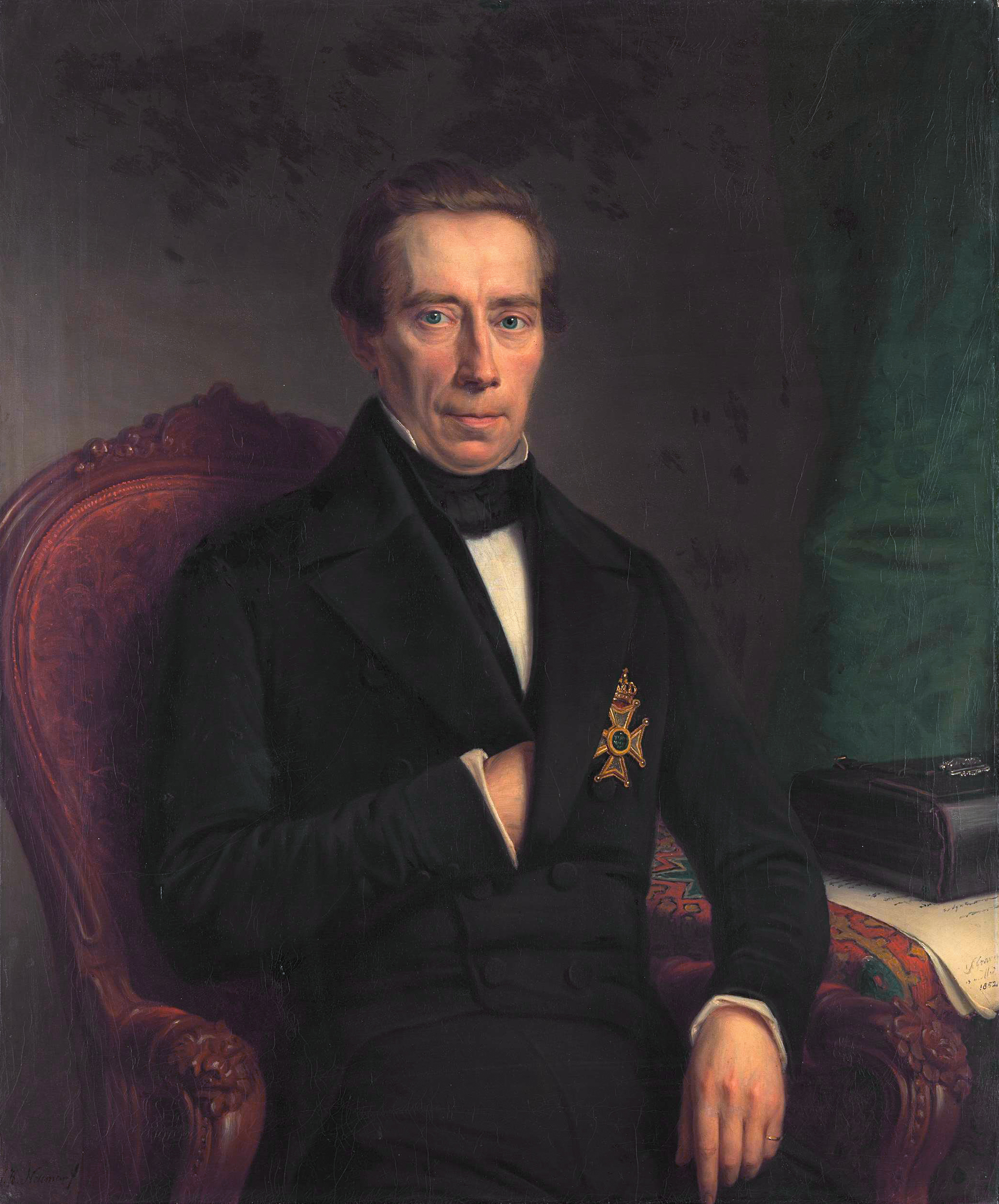
General elections were held in the Netherlands on 30 November and 4 December 1848.Dieter Nohlen & Philip Stöver (2010) ''Elections in Europe: A data handbook'', p1395 Held immediately after the Constitutional Reform of 1848, they were the first direct elections to the House of Representatives, and were the first to elect a States General to which government ministers would be responsible. Voting was restricted to men over the age of 23, and who paid a certain level of taxation. This limited the franchise to 55,728 people, roughly 11% of the male population over 23, or 2.5% of the total population of the country.Nohlen & Stöver, p1384 Candidates were elected in districts in a two-round system; if no candidate received over 50% of the vote in the first round, the top two candidates would face a run-off. The districts had one MP for every 45,000 inhabitants. As there were no official political parties until 1879,Nohlen & Stöver, p1393 all candidates were nominally independents. R ... [...More Info...] [...Related Items...] OR: [Wikipedia] [Google] [Baidu] |
Netherlands
) , anthem = ( en, "William of Nassau") , image_map = , map_caption = , subdivision_type = Sovereign state , subdivision_name = Kingdom of the Netherlands , established_title = Before independence , established_date = Spanish Netherlands , established_title2 = Act of Abjuration , established_date2 = 26 July 1581 , established_title3 = Peace of Münster , established_date3 = 30 January 1648 , established_title4 = Kingdom established , established_date4 = 16 March 1815 , established_title5 = Liberation Day (Netherlands), Liberation Day , established_date5 = 5 May 1945 , established_title6 = Charter for the Kingdom of the Netherlands, Kingdom Charter , established_date6 = 15 December 1954 , established_title7 = Dissolution of the Netherlands Antilles, Caribbean reorganisation , established_date7 = 10 October 2010 , official_languages = Dutch language, Dutch , languages_type = Regional languages , languages_sub = yes , languages = , languages2_type = Reco ... [...More Info...] [...Related Items...] OR: [Wikipedia] [Google] [Baidu] |
Gelderland
Gelderland (), also known as Guelders () in English, is a province of the Netherlands, occupying the centre-east of the country. With a total area of of which is water, it is the largest province of the Netherlands by land area, and second by total area. Gelderland shares borders with six other provinces (Flevoland, Limburg, North Brabant, Overijssel, South Holland and Utrecht) and the German state of North Rhine-Westphalia. The capital is Arnhem (pop. 159,265); however, Nijmegen (pop. 176,731) and Apeldoorn (pop. 162,445) are both larger municipalities. Other major regional centres in Gelderland are Ede, Doetinchem, Zutphen, Harderwijk, Tiel, Wageningen, Zevenaar, and Winterswijk. Gelderland had a population of 2,084,478 as of November 2019. It contains the Netherlands's largest forest region (the Veluwe), the Rhine and other major rivers, and a significant amount of orchards in the south ( Betuwe). History Historically, the province dates from states of t ... [...More Info...] [...Related Items...] OR: [Wikipedia] [Google] [Baidu] |
Dokkum
Dokkum is a Dutch fortified city in the municipality of Noardeast-Fryslân in the province of Friesland. It has 12,669 inhabitants (February 8, 2020). The fortifications of Dokkum are well preserved and are known as the ''bolwerken'' (bulwarks). It is the fifth most popular shopping city in Friesland. It also had the smallest hospital in the Netherlands. __TOC__ History The best-known event in Dokkum's history is the martyrdom of the Anglo-Saxon missionary Saint Boniface in 754. Oliver of Cologne preached the Fifth Crusade in Dokkum in 1214 and Dokkum sent a contingent; the crescent in the coat of arms of Dokkum refers to this event. Dokkum acquired city rights in 1298. In 1572 Dokkum was sacked by the Spaniards after it had joined the Dutch Revolt. In 1597, the Admiralty of Friesland was established in Dokkum. However, it was moved to Harlingen in 1645. In 1971 the city was included in the list of Dutch 'Urban and village conservation areas'. In 1923, when Catholics in ... [...More Info...] [...Related Items...] OR: [Wikipedia] [Google] [Baidu] |
Doetinchem
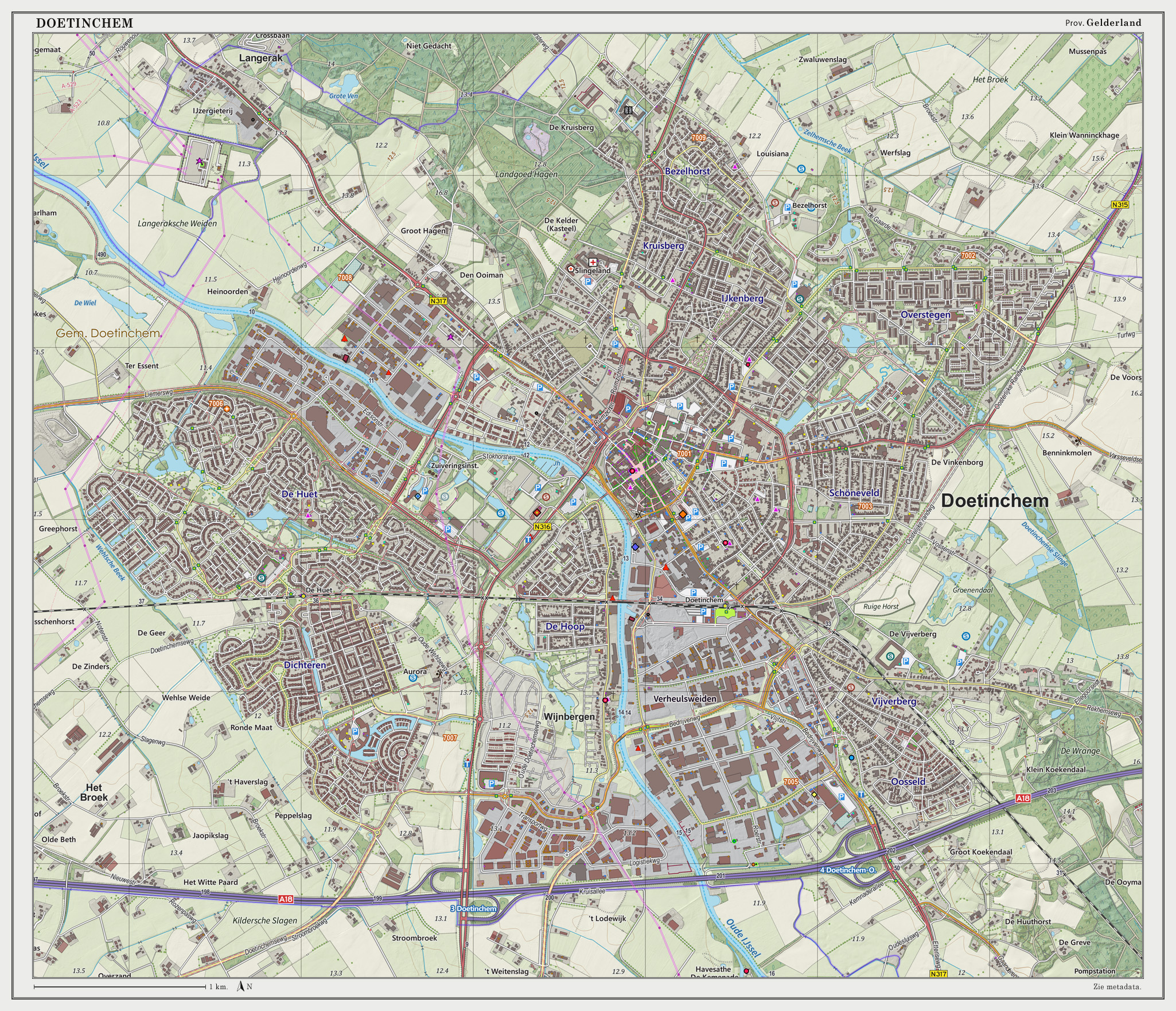
Doetinchem (; Low Saxon: ) is a city and municipality in the east of the Netherlands. It is situated along the Oude IJssel (Old IJssel) river in a part of the province of Gelderland called the Achterhoek. The municipality had a population of in and consists of an area of of which is water. This makes Doetinchem the largest town (by population) in the Achterhoek. On 1 January 2005, a municipal restructuring merged the neighbouring municipality of Wehl as well as the Zelhelmse Broek area with Doetinchem. Population centres The local government organization in the Netherlands is complex and fine-grained (see municipality and Govt Stats, with municipalities being divided into various entities. The municipality of Doetinchem consists of: The city ('stad'): * Doetinchem The neighborhoods ('wijken'): * Centrum * Bezelhorst * Dichteren * Overstegen * De Huet * De Hoop * Oosseld * Schöneveld & Muziekbuurt The townships ('buurtschappen'): * Gaanderen * Wehl * IJzevoo ... [...More Info...] [...Related Items...] OR: [Wikipedia] [Google] [Baidu] |
Deventer
Deventer (; Sallands: ) is a city and municipality in the Salland historical region of the province of Overijssel, Netherlands. In 2020, Deventer had a population of 100,913. The city is largely situated on the east bank of the river IJssel, but it also has a small part of its territory on the west bank. In 2005 the municipality of Bathmen (with a population of about 5,000 people) was merged with Deventer as part of a national effort to reduce bureaucracy in the country. Deventer is one of the oldest cities in the Netherlands. The place is already mentioned in 9th-century sources of the Diocese of Utrecht. In a charter from 877 AD mentions seven hooves in ''Daventre portu'' (the Deventer harbor). In 952 AD, Deventer is mentioned as a city in a gift certificate from King Otto I. After the place had acquired more and more rights and privileges over time, it received the municipal lands from Emperor Henry V in 1123. This is considered by historians to be the moment of Deven ... [...More Info...] [...Related Items...] OR: [Wikipedia] [Google] [Baidu] |
The Hague
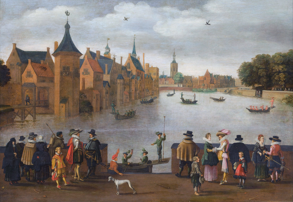
The Hague ( ; nl, Den Haag or ) is a list of cities in the Netherlands by province, city and municipalities of the Netherlands, municipality of the Netherlands, situated on the west coast facing the North Sea. The Hague is the country's administrative centre and its seat of government, and while the official capital of the Netherlands is Amsterdam, The Hague has been described as the country's de facto capital. The Hague is also the capital of the provinces of the Netherlands, province of South Holland, and the city hosts both the International Court of Justice and the International Criminal Court. With a population of over half a million, it is the third-largest city in the Netherlands, after Amsterdam and Rotterdam. The Hague is the core municipality of the COROP, Greater The Hague urban area, which comprises the city itself and its suburban municipalities, containing over 800,000 people, making it the third-largest urban area in the Netherlands, again after the urban are ... [...More Info...] [...Related Items...] OR: [Wikipedia] [Google] [Baidu] |
's-Hertogenbosch
s-Hertogenbosch (), colloquially known as Den Bosch (), is a city and municipality in the Netherlands with a population of 157,486. It is the capital of the province of North Brabant and its fourth largest by population. The city is south of the Maas river and near the Waal; it is to the north east of the city of Tilburg, north west of Eindhoven, south west of Nijmegen, and a longer distance south of Utrecht and south east of Dordrecht. History The city's official name is a contraction of the (archaic) Dutch ''des Hertogen bosch'' — "the forest of the duke". The duke in question was Henry I of Brabant, whose family had owned a large estate at nearby Orthen for at least four centuries. He founded a new town located on some forested dunes in the middle of a marsh. At age 26, he granted 's-Hertogenbosch city rights and the corresponding trade privileges in 1185. This is, however, the traditional date given by later chroniclers; the first mention in contemporaneous sour ... [...More Info...] [...Related Items...] OR: [Wikipedia] [Google] [Baidu] |
Delft
Delft () is a city and municipality in the province of South Holland, Netherlands. It is located between Rotterdam, to the southeast, and The Hague, to the northwest. Together with them, it is part of both the Rotterdam–The Hague metropolitan area and the Randstad. Delft is a popular tourist destination in the Netherlands, famous for its historical connections with the reigning House of Orange-Nassau, for its blue pottery, for being home to the painter Jan Vermeer, and for hosting Delft University of Technology (TU Delft). Historically, Delft played a highly influential role in the Dutch Golden Age. In terms of science and technology, thanks to the pioneering contributions of Antonie van Leeuwenhoek and Martinus Beijerinck, Delft can be considered to be the birthplace of microbiology. History Early history The city of Delft came into being beside a canal, the 'Delf', which comes from the word ''delven'', meaning to delve or dig, and this led to the name Delft. At the ... [...More Info...] [...Related Items...] OR: [Wikipedia] [Google] [Baidu] |
South Holland
South Holland ( nl, Zuid-Holland ) is a province of the Netherlands with a population of over 3.7 million as of October 2021 and a population density of about , making it the country's most populous province and one of the world's most densely populated areas. Situated on the North Sea in the west of the Netherlands, South Holland covers an area of , of which is water. It borders North Holland to the north, Utrecht and Gelderland to the east, and North Brabant and Zeeland to the south. The provincial capital is the Dutch seat of government The Hague, while its largest city is Rotterdam. The Rhine-Meuse-Scheldt delta drains through South Holland into the North Sea. Europe's busiest seaport, the Port of Rotterdam, is located in South Holland. History Early history Archaeological discoveries in Hardinxveld-Giessendam indicate that the area of South Holland has been inhabited since at least c. 7,500 years before present, probably by nomadic hunter-gatherers. Agriculture and per ... [...More Info...] [...Related Items...] OR: [Wikipedia] [Google] [Baidu] |
Brielle
Brielle (), also called Den Briel in Dutch and Brill in English, is a town, municipality and historic seaport in the western Netherlands, in the province of South Holland, on the north side of the island of Voorne-Putten, at the mouth of the New Maas. The municipality covers an area of of which is water. In its population was . The municipality of Brielle also includes the communities Vierpolders and Zwartewaal. History Brielle is a very old, fortified city. Its name is derived from the Celtic word ''brogilo'' (meaning "closed area" or "hunting grounds"). The oldest writings about Brielle indicate that the current location is the "new" Brielle. ''Den ouden Briel'' (Old Brill) must have been situated somewhere else on the Voorne-Putten Island. It received city rights in 1306. The city was for a long time the seat of the Count of Voorne, until this fiefdom was added to Holland in 1371. It had its own harbour and traded with the countries around the Baltic Sea. Brielle even had ... [...More Info...] [...Related Items...] OR: [Wikipedia] [Google] [Baidu] |
Breda
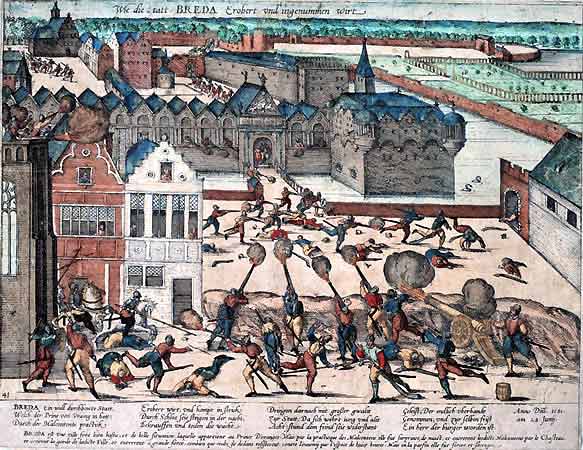
Breda () is a city and municipality in the southern part of the Netherlands, located in the province of North Brabant. The name derived from ''brede Aa'' ('wide Aa' or 'broad Aa') and refers to the confluence of the rivers Mark and Aa. Breda has 185,072 inhabitants on 13 September 2022 and is part of the Brabantse Stedenrij; it is the ninth largest city/municipality in the country, and the third largest in North Brabant after Eindhoven and Tilburg. It is equidistant between Rotterdam and Antwerp. As a fortified city, it was of strategic military and political significance. Although a direct Fiefdom of the Holy Roman Emperor, the city obtained a municipal charter; the acquisition of Breda, through marriage, by the House of Nassau ensured that Breda would be at the centre of political and social life in the Low Countries. Breda had a population of in ; the metropolitan area had a population of . History In the 11th century, Breda was a direct fief of the Holy Rom ... [...More Info...] [...Related Items...] OR: [Wikipedia] [Google] [Baidu] |
North Brabant
North Brabant ( nl, Noord-Brabant ; Brabantian: ; ), also unofficially called Brabant, is a province in the south of the Netherlands. It borders the provinces of South Holland and Gelderland to the north, Limburg to the east, Zeeland to the west, and the Flemish provinces of Antwerp and Limburg to the south. The northern border follows the Meuse westward to its mouth in the Hollands Diep strait, part of the Rhine–Meuse–Scheldt delta. North Brabant has a population of 2,562,566 as of November 2019. Major cities in North Brabant are Eindhoven (pop. 231,642), Tilburg (pop. 217,259), Breda (pop. 183,873) and its provincial capital 's-Hertogenbosch (pop. 154,205). History The Duchy of Brabant was a state of the Holy Roman Empire established in 1183 or 1190. It developed from the Landgraviate of Brabant and formed the heart of the historic Low Countries, part of the Burgundian Netherlands from 1430 and of the Habsburg Netherlands from 1482, until it was spl ... [...More Info...] [...Related Items...] OR: [Wikipedia] [Google] [Baidu] |


