|
Gelderland
Gelderland ( , ), also known as Guelders ( ) in English, is a Provinces of the Netherlands, province of the Netherlands, located in the centre-east of the country. With a total area of of which is water, it is the largest province of the Netherlands by land area, and second by total area. Gelderland shares borders with six other provinces (Flevoland, Limburg (Netherlands), Limburg, North Brabant, Overijssel, South Holland and Utrecht (province), Utrecht) and the Germany, German state of North Rhine-Westphalia. The capital is Arnhem (pop. 159,265); however, Nijmegen (pop. 176,731) and Apeldoorn (pop. 162,445) are both larger municipalities. Other major regional centres in Gelderland are Ede, Netherlands, Ede, Doetinchem, Zutphen, Harderwijk, Tiel, Wageningen, Zevenaar, and Winterswijk. Gelderland had a population of about 2,134,000 as of January 2023. It contains the Netherlands's largest forest region (the Veluwe), the Rhine and other major rivers, and a significant amount of o ... [...More Info...] [...Related Items...] OR: [Wikipedia] [Google] [Baidu] |
Ons Gelderland
"Ons Gelderland" (Our Gelderland) is the anthem of the province of Gelderland in the Netherlands. There are two versions of the song. The first, 'Ons Gelderland' is sung the most, but the second, 'het Geldersch Volkslied', is considered by many to be the official anthem. Since Gelderland is a province, and not a country, the officiality of either one remains undecided. Nowadays, the provincial government of Gelderland displays 'Ons Gelderland' on their website. In the past they have stated 'het Geldersch Volkslied' to be the official anthem. A remarkable detail to note is that each version can be sung to the same tune. Since the texts have already been put to different tunes, this is a surprisingly convenient coincidence for many songwriters in Gelderland. Lyrics ''Text and music by C.J.C. Geerlings.'' :Waar der beuken breede kronen :Ons heur koele schaduw biên; :Waar we groene dennebosschen, :Paarse heidevelden zien; :Waar de blonde roggeakker :En het beekje ons oog bekoo ... [...More Info...] [...Related Items...] OR: [Wikipedia] [Google] [Baidu] |
States Of Gelderland
The States of Gelderland (, ) are the States-Provincial for the Netherlands, Dutch Provinces of the Netherlands, province of Gelderland. It forms the legislative body of the province. Its 55 seats are distributed every four years in Provincial elections in the Netherlands, provincial elections. From 2005 till early 2019, it was chaired by Clemens Cornielje (People's Party for Freedom and Democracy, VVD). Current composition Since the 2023 Dutch provincial elections, 2023 provincial elections, the distribution of seats of the Provincial Council of Gelderland has been as follows: Past election results See also * Provincial politics in the Netherlands References External links * {{DEFAULTSORT:States of Gelderland Politics of Gelderland Provincial councils of the Netherlands, Gelderland ... [...More Info...] [...Related Items...] OR: [Wikipedia] [Google] [Baidu] |
Wageningen
Wageningen () is a Municipalities of the Netherlands, municipality and a historic city in the central Netherlands, in the province of Gelderland. It is famous for Wageningen University, which specialises in life sciences. The municipality had a population of in , of which many thousands are students from over 150 countries. Demographics Inhabitants by nationality 71,68% is Dutch, 28,32% has a migration background. Geography Wageningen is situated on the north bank of the Nederrijn (the Dutch portion of the Lower Rhine) part of the and the Veluwe, of which the southwest hill is called the ''Wageningse Berg''. Wageningen can be reached by car from highways A12 via the N781, A15 via the N233 and N225, and A50 via the N225, and from the Ede-Wageningen railway station via a 20-minute bus drive to the Wageningen central terminal (see below)., ''Topographic map of the municipality of Wageningen, July 2013 (click to enlarge)'' History The oldest known settlements in the Wageni ... [...More Info...] [...Related Items...] OR: [Wikipedia] [Google] [Baidu] |
Doetinchem
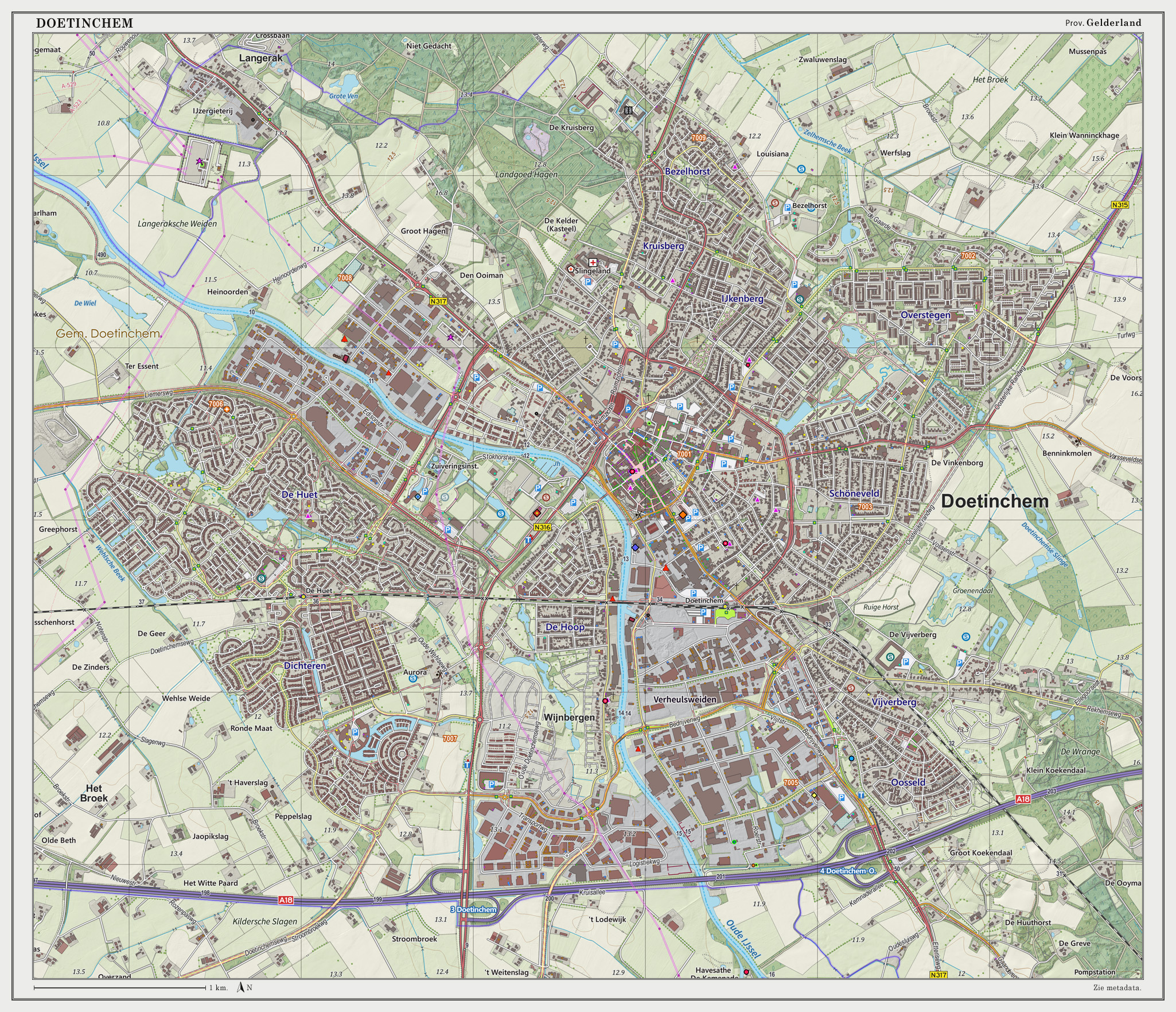
Doetinchem (; Dutch Low Saxon, Low Saxon: ) is a city and Municipalities in the Netherlands, municipality in the east of the Netherlands. It is situated along the IJssel, Oude IJssel (Old IJssel) river in a part of the Provinces of the Netherlands, province of Gelderland called the Achterhoek. The municipality had a population of in and consists of an area of of which is water. This makes Doetinchem the largest town (by population) in the Achterhoek. On 1 January 2005, a municipal restructuring merged the neighbouring municipality of Wehl as well as the Zelhelmse Broek area with Doetinchem. Population centres The local government organization in the Netherlands is complex and fine-grained (see Municipalities in the Netherlands, municipality and Govt Stats, with municipalities being divided into various entities. The municipality of Doetinchem consists of: The city ('stad'): * Doetinchem The neighborhoods ('wijken'): * City centre (Doetinchem), Centrum * Bezelhorst * Dichter ... [...More Info...] [...Related Items...] OR: [Wikipedia] [Google] [Baidu] |
Nijmegen
Nijmegen ( , ; Nijmeegs: ) is the largest city in the Dutch province of Gelderland and the ninth largest of the Netherlands as a whole. Located on the Waal River close to the German border, Nijmegen is one of the oldest cities in the Netherlands and the first to be recognized as such in Roman times. In 2005, it celebrated 2,000 years of existence. Nijmegen became a free imperial city in 1230 and in 1402 a Hanseatic city. Since 1923 it has been a university city with the opening of a Catholic institution now known as the Radboud University Nijmegen. The city is well known for the annual International Four Days Marches Nijmegen event. Its population as of 2024 was 187,011. Population centres The municipality is formed by the city of Nijmegen, incorporating the former villages of Hatert, Hees and Neerbosch, as well as the urban expansion projects in Veur-Lent, Nijmegen-Oosterhout and Nijmegen–Ressen, all situated north of the river Waal. Proximity of border ... [...More Info...] [...Related Items...] OR: [Wikipedia] [Google] [Baidu] |
Apeldoorn
Apeldoorn (; Dutch Low Saxon: ) is a municipality and city in the province of Gelderland in the centre of the Netherlands. The municipality of Apeldoorn, including the villages of Beekbergen, Loenen (Apeldoorn), Loenen, Ugchelen and Hoenderloo, had a population of 165,525 on 1 December 2021. The western half of the municipality lies on the Veluwe ridge, with the eastern half in the IJssel valley. The city of Apeldoorn The oldest known reference to Apeldoorn, then called Appoldro, dates from the 8th century. The settlement came into being at the point where the old road from Amersfoort to Deventer crossed that from Arnhem to Zwolle. A 1740 map refers to it as A''pp''eldoorn.Stenvert, R. et al. (2000). ''Monumenten in Nederland: Gelderland'', p. 14 and 68–77. Zwolle: Waanders Uitgevers. Close by is the favourite country-seat of the royal family of the Netherlands called the palace het Nieuwe Loo (now Het Loo). It was originally a hunting lodge of the dukes of Gelder ... [...More Info...] [...Related Items...] OR: [Wikipedia] [Google] [Baidu] |
Provinces Of The Netherlands
There are twelve provinces ( or ; Grammatical number#Overview, sing. ) of the Netherlands representing the administrative layer between the cabinet of the Netherlands, national government and the municipalities of the Netherlands, local governments, with responsibility for matters of subnational or regional importance. The most populous province is South Holland, with just over 3.8 million inhabitants , and also the most densely populated province with . With 391,124 inhabitants, Zeeland has the smallest population. However Drenthe is the least densely populated province with . In terms of area, Friesland is the largest province with a total area of . If water is excluded, Gelderland is the largest province by land area at . The province of Utrecht (province), Utrecht is the smallest with a total area of , while Flevoland is the smallest by land area at . In total about 10,000 people were employed by the provincial administrations in 2018. The provinces of the Netherlan ... [...More Info...] [...Related Items...] OR: [Wikipedia] [Google] [Baidu] |
Zutphen
Zutphen () is a city and municipality located in the province of Gelderland, Netherlands. It lies some northeast of Arnhem, on the eastern bank of the river IJssel at the point where it is joined by the Berkel. First mentioned in the 11th century, the place-name appears to mean "south fen" ( in modern Dutch). In 2005, the municipality of Zutphen was merged with the municipality of Warnsveld, retaining its name. In 2021, the municipality had a population of . History In about 300 AD, a Germanic settlement was the first permanent town on a complex of the low river dunes. While many such settlements were abandoned in the early Middle Ages, Zutphen, on the strategic confluence of IJssel and Berkel, stayed. After the incorporation of the IJssel lands in Charlemagne's Francia, Zutphen became a local centre of governance under the Count of Zutphen. The Normans raided and ravaged it in 882. Afterwards, a circular fortress was built to protect the budding town against Viking a ... [...More Info...] [...Related Items...] OR: [Wikipedia] [Google] [Baidu] |
Zevenaar
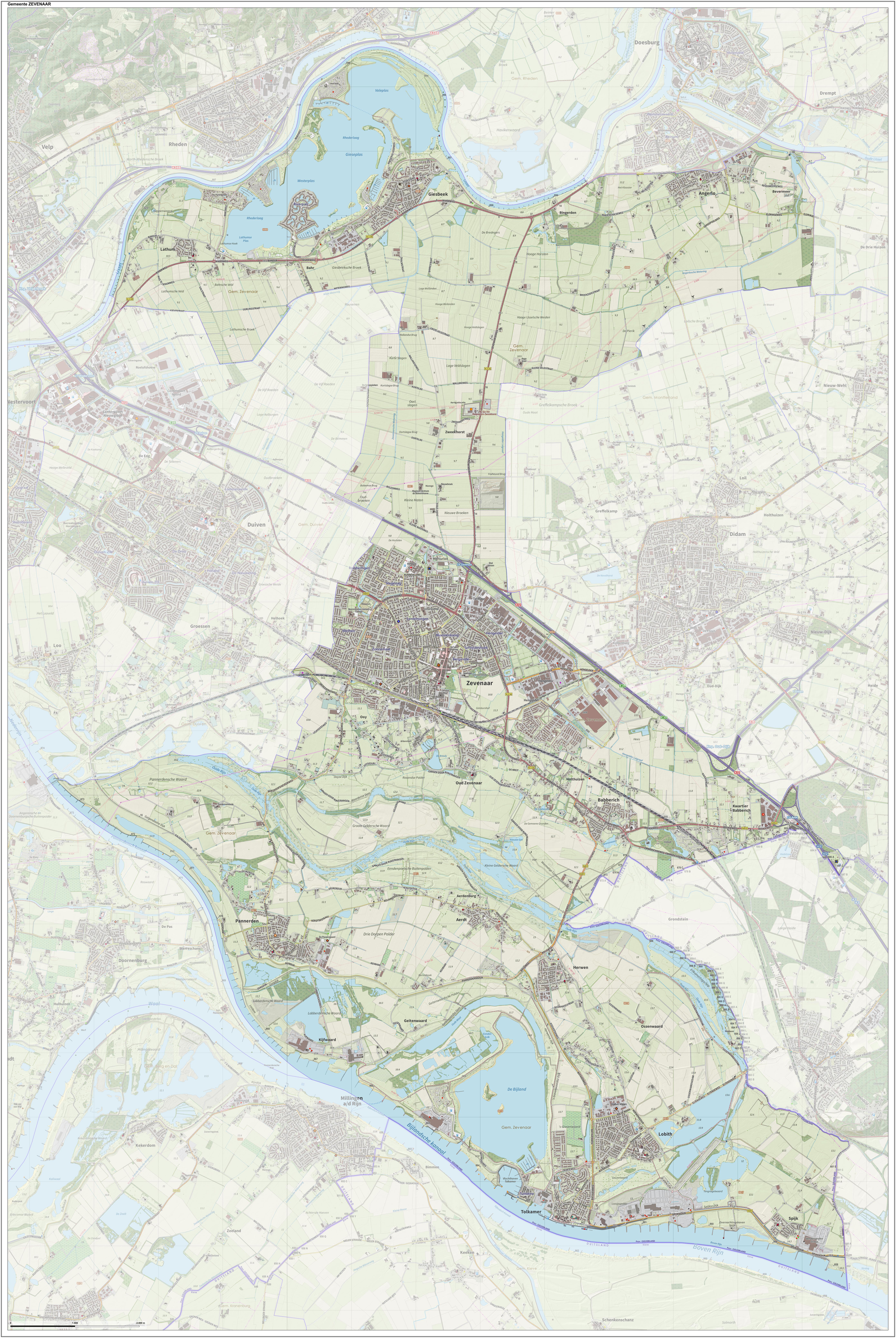
Zevenaar () is a Municipalities of the Netherlands, municipality and a city in the Gelderland province, in the eastern Netherlands near the border with Germany. In January 2018 the neighbouring municipality of Rijnwaarden was merged with Zevenaar. Population centres *Angerlo *Babberich *Giesbeek *Lathum *Ooy *Oud-Zevenaar *Zevenaar History The earliest signs of human activity are remains of a 700 BC settlement found near present-day Zevenaar. In 1049, Emperor Hendrik III donated a large amount of land to five warlords the leader of whom was named Bartholomeus II of Sevenaer. They founded a castle to protect the old Roman settlements from the Germans. In 1355 Sevenaer passed from the control of the county/Duchy of Guelders (to which the modern Dutch province of Gelderland refers) to the Duchy of Cleves (Cleveland). In 1487, the duke of Cleves gave Sevenaer City rights in the Low Countries, city rights. Sevenaer was an important strategic point – the area between Gelderland a ... [...More Info...] [...Related Items...] OR: [Wikipedia] [Google] [Baidu] |
Arnhem
Arnhem ( ; ; Central Dutch dialects, Ernems: ''Èrnem'') is a Cities of the Netherlands, city and List of municipalities of the Netherlands, municipality situated in the eastern part of the Netherlands, near the German border. It is the capital of the Provinces of the Netherlands, province of Gelderland, located on both banks of the rivers Nederrijn and Sint-Jansbeek, which was the source of the city's development. Arnhem is home to the Hogeschool van Arnhem en Nijmegen, ArtEZ Institute of the Arts, Netherlands Open Air Museum, Airborne Museum 'Hartenstein', Royal Burgers' Zoo, NOC*NSF and National Sports Centre Papendal. The north corner of the municipality is part of the Hoge Veluwe National Park. It is approximately in area, consisting of heathlands, sand dunes, and woodlands. History Early history The oldest archeological findings of human activity around Arnhem are two firestones of about 70,000 years ago. These come from the Stone Age, when the Neanderthals lived ... [...More Info...] [...Related Items...] OR: [Wikipedia] [Google] [Baidu] |
Harderwijk
Harderwijk (; Dutch Low Saxon: ) is a municipality and city of the Netherlands. It is served by the Harderwijk railway station. Its population centres are Harderwijk and Hierden. Harderwijk is on the western boundary of the Veluwe. The southeastern half of the municipality is largely forests. History Harderwijk received city rights from Count Otto II of Guelders in 1231. A defensive wall surrounding the city was completed by the end of that century. The oldest part of the city is near where the streets Hoogstraat and Grote Poortstraat now are. Around 1315 the city was expanded southwards, which included the construction of what is now called the Grote Kerk (Great Church). A second, northward expansion took place around 1425. Particularly along the west side of town, much of the wall still exists but often not in entirely original form. That also goes for the only remaining city gate, the Vischpoort (Fish Gate). Between 1648 and 1811, the University of Harderwijk operat ... [...More Info...] [...Related Items...] OR: [Wikipedia] [Google] [Baidu] |
Ede, Netherlands
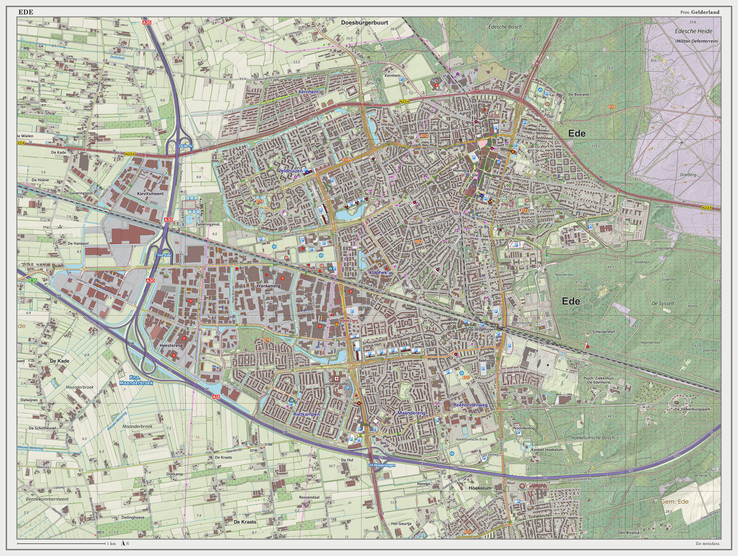
Ede () is a city and Municipalities of the Netherlands, municipality in the Netherlands, in the Provinces of the Netherlands, province of Gelderland. municipality had 123,532 inhabitants, and as of 1 January 2023 the city had 79.435 inhabitants . Population centres Community: * Ede (town) * Bennekom * De Klomp * Deelen * Ederveen * Harskamp * Hoenderloo * Lunteren * Otterlo (Kröller-Müller Museum) * Wekerom Location The town itself is situated halfway between the larger cities of Arnhem and Utrecht (city), Utrecht, with direct rail and road connections to both cities. There are no connections to any water nearby; however, there also is a direct road connection to the city of Wageningen which hosts a small industrial port on the river Rijn and a direct road and rail connection to the city of Arnhem, which features a larger port at a greater distance. The environment is clean and green because Ede is partly built in a forest and partly on the central Dutch plains in the ... [...More Info...] [...Related Items...] OR: [Wikipedia] [Google] [Baidu] |


