|
Shmustar
Shmustar, also spelled Shmistar or Chmistar ( ar, شمسطار) is a Lebanese town located in Baalbek-Hermel Governorate, Lebanon between Baalbeck and Zahleh, on the eastern slope of Mount Sannine. It overlooks the Bekaa Valley from an altitude of above sea level. The town is from Beirut and from Baalbek. Chmistar has a population of 30,000 according to a 2012 census. History In 1838, Eli Smith noted Shmustar's population as being predominantly Metawileh Lebanese Shia Muslims ( ar, المسلمون الشيعة اللبنانيين), historically known as ''matāwila'' ( ar, متاولة, plural of ''mutawālin'' ebanese pronounced as ''metouali'' refers to Lebanese people who are adherents ....Robinson and Smith, 1841, vol 3, 2nd appendix, p144/ref> References Bibliography * External linksChmestar Municipality Chmestar Municipality Localiban {{Authority control Populated places in Baalbek District Shia Muslim communities in Lebanon ... [...More Info...] [...Related Items...] OR: [Wikipedia] [Google] [Baidu] |
Governorates Of Lebanon
Lebanon is divided into nine governorates (''muhafazah''). Each governorate is headed by a governor (''muhafiz''): All of the governorates except for Beirut Governorate, Beirut and Akkar Governorate, Akkar are divided into districts of Lebanon, districts, which are further subdivided into list of municipalities of Lebanon, municipalities. The newest governorate is Keserwan-Jbeil, which was gazetted on 7 September 2017 but whose first governor, Pauline Deeb, was not appointed until 2020. Implementation of the next most recently created governorates, Akkar and Baalbek-Hermel, also remains ongoing since the appointment of their first governors in 2014. See also * Politics of Lebanon References External links Governorates of Lebanon, Administrative divisions in Asia, Lebanon 1 First-level administrative divisions by country, Governorates, Lebanon Lists of subdivisions of Lebanon, Governorates Subdivisions of Lebanon {{Lebanon-geo-stub ... [...More Info...] [...Related Items...] OR: [Wikipedia] [Google] [Baidu] |
Baalbek-Hermel Governorate
french: Baalbek-Hermel , settlement_type = Governorate , image_skyline = Baalbek (4594513263).jpg , image_caption = Baalbek , image_flag = , image_seal = , image_shield = , image_map = Baalbek-Hermel in Lebanon.svg , map_caption = Location of Baalbek-Hermel Governorate in Lebanon , pushpin_map = , coordinates = , subdivision_type = Country , subdivision_name = , established_title = Gazetted , established_date = 16 July 2003 , seat_type = Capital , seat = Baalbek , leader_party = , leader_title = Governor , leader_name = Bashir Khodr , area_footnotes = , area_total_km2 = 3009 , area_land_km2 = , area_water_km2 = , elevation_footnotes = , elevation_m = , pop_est_footnotes = , population_est = 416427 ... [...More Info...] [...Related Items...] OR: [Wikipedia] [Google] [Baidu] |
Districts Of Lebanon
The nine governorates of Lebanon are subdivided into 25 districts (''Aqdya'', singular'' qadaa''). Beirut Governorate is not subdivided into districts, and Akkar Governorate comprises a single district. The districts are further divided into municipalities. List of districts Capitals (مراكز) of the governorates and districts are indicated in parentheses. # Akkar Governorate ( Halba) #* Akkar ( Halba) #Baalbek-Hermel Governorate (Baalbek) #*Baalbek (Baalbek) #* Hermel ( Hermel) # Beirut Governorate (Beirut) # Beqaa Governorate ( Zahlé) #* Rashaya ( Rashaya) #* Western Beqaa ( Joub Jannine - winter Saghbine - summer) #* Zahle ( Zahlé) # Mount Lebanon Governorate ( Baabda) #*Byblos (Byblos) #* Keserwan ( Jounieh) #* Aley ( Aley) #* Baabda ( Baabda) #*Chouf ( Beiteddine) #*Matn/Metn ( Jdeideh) #Nabatieh Governorate ( Nabatieh) #* Bint Jbeil ( Bint Jbeil) #*Hasbaya (Hasbaya) #* Marjeyoun ( Marjeyoun) #* Nabatieh ( Nabatieh) #North Governorate (Tripoli) #* Batroun ( Batrou ... [...More Info...] [...Related Items...] OR: [Wikipedia] [Google] [Baidu] |
Baalbek District
Baalbek District ( ar, قضاء بعلبك) is an administrative district in the Baalbek-Hermel Governorate of the Republic of Lebanon, having the city Baalbek as its capital. It is by far the largest district in the country comprising a total of . Major towns of the district are Hallanieh, Temnin el Fawka, Chmestar, Duris, Jdeide, Kasarnaba Kasarnaba ( ar, قصرنبا) is a town in Baalbek District, Baalbek-Hermel Governorate, Lebanon famous for its hilly terrain and Traditional Agricultural practices. Geography The town is located at the shoulder of The Western Lebanese Mountain ... and Bodai Districts of Lebanon {{lebanon-geo-stub ... [...More Info...] [...Related Items...] OR: [Wikipedia] [Google] [Baidu] |
Egypt Standard Time
Egypt Standard Time (EGY) ( ''Tawqīt Miṣr al-qiyāsiyy'') is UTC+02:00, which is equivalent to Eastern European Time, Central Africa Time, South African Standard Time and Central European Summer Time, and is co-linear with neighbouring Libya and Sudan. Egypt has previously used Eastern European Summer Time ( UTC+03:00), during the summer periods from 1957–2010 and 2014–15. History On 21 April 2011, the interim government abolished summer time. Standard time was therefore observed all year long. On 7 May 2014, the Egyptian interim government decided to use summer time starting from 15 May 2014, the third Friday of May, with an exception for the holy month of Ramadan. This occurred just before the Egyptian presidential elections were expected to start. On 20 April 2015, The Egyptian government decided against observing summer time following a poll that had been held in April 2015 regarding applying DST or not. The government decided to make the necessary amendm ... [...More Info...] [...Related Items...] OR: [Wikipedia] [Google] [Baidu] |
Lebanon
Lebanon ( , ar, لُبْنَان, translit=lubnān, ), officially the Republic of Lebanon () or the Lebanese Republic, is a country in Western Asia. It is located between Syria to Lebanon–Syria border, the north and east and Israel to Blue Line (Lebanon), the south, while Cyprus lies to its west across the Mediterranean Sea; its location at the crossroads of the Mediterranean Basin and the Arabs, Arabian hinterland has contributed to History of Lebanon, its rich history and shaped Culture of Lebanon, a cultural identity of demographics of Lebanon#Religious groups, religious diversity. It is part of the Levant region of the Middle East. Lebanon is home to roughly six million people and covers an area of , making it the List of countries and dependencies by area, second smallest country in continental Asia. The official language of the state is Arabic, while French language, French is also formally recognized; the Lebanese Arabic, Lebanese dialect of Arabic is used alongside Mo ... [...More Info...] [...Related Items...] OR: [Wikipedia] [Google] [Baidu] |
Baalbeck
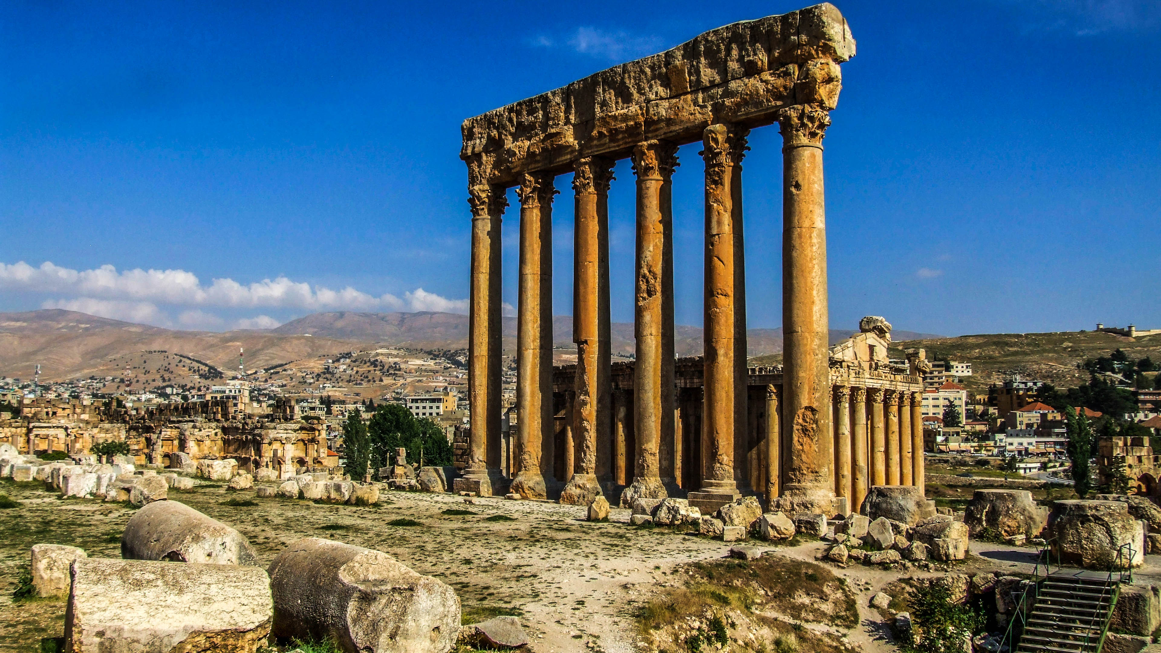
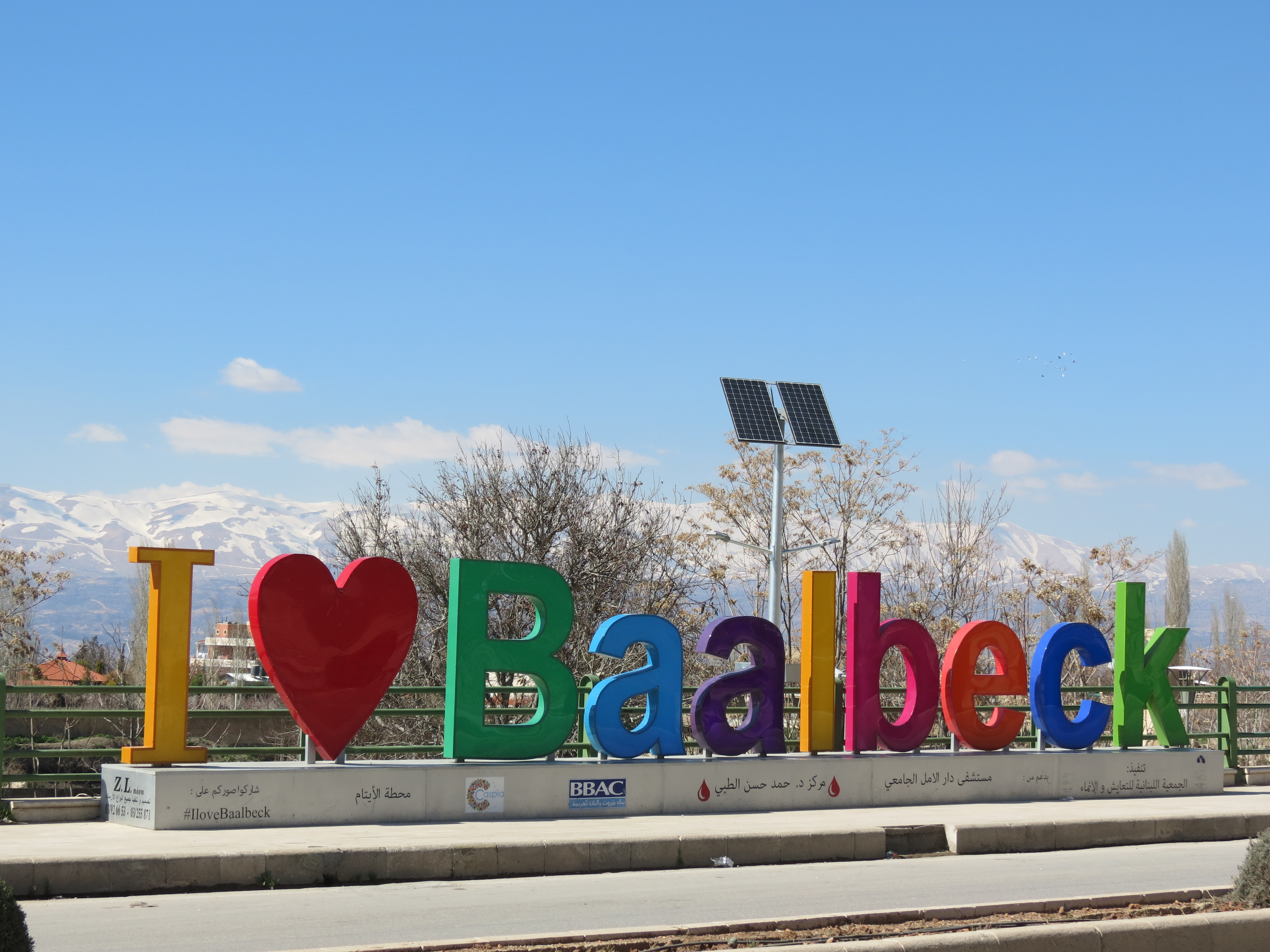
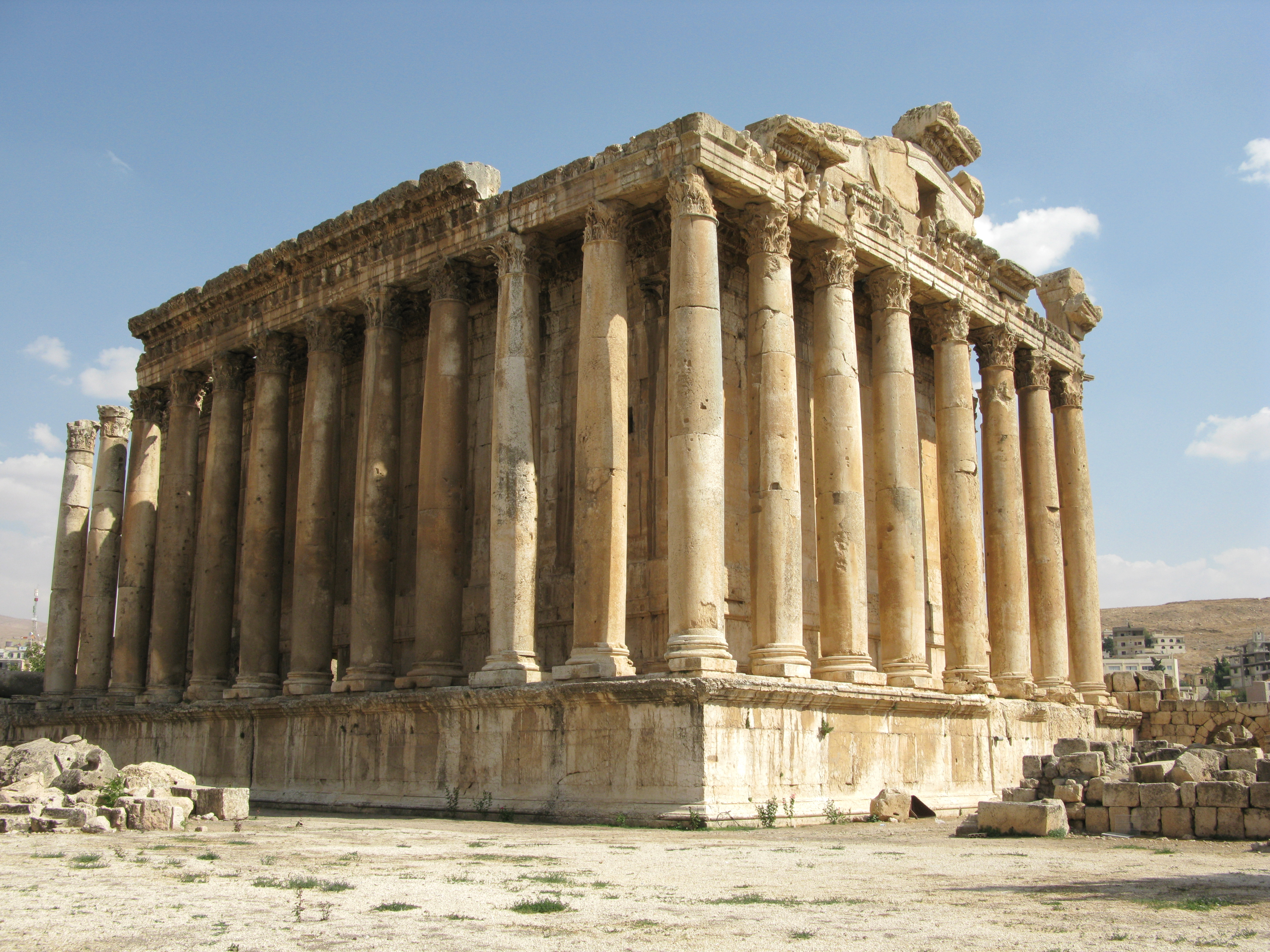
Baalbek (; ar, بَعْلَبَكّ, Baʿlabakk, Syriac-Aramaic: ܒܥܠܒܟ) is a city located east of the Litani River in Lebanon's Beqaa Valley, about northeast of Beirut. It is the capital of Baalbek-Hermel Governorate. In Greek and Roman times Baalbek was also known as Heliopolis (, Greek for "Sun City"). In 1998 Baalbek had a population of 82,608, mostly Shia Muslims, followed by Sunni Muslims and Christians. It is home to the Baalbek temple complex which includes two of the largest and grandest Roman temple ruins: the Temple of Bacchus and the Temple of Jupiter. It was inscribed in 1984 as an UNESCO World Heritage site. Name A few miles from the swamp from which the Litani (the classical Leontes) and the Asi (the upper Orontes) flow, Baalbek may be the same as the ''manbaa al-nahrayn'' ("Source of the Two Rivers"), the abode of El in the Ugaritic Baal Cycle discovered in the 1920s and a separate serpent incantation. Baalbek was called Heliopolis during the Roman ... [...More Info...] [...Related Items...] OR: [Wikipedia] [Google] [Baidu] |
Mount Sannine
Mount Sannine ( ar, جبل صنين / ALA-LC: ''Jabal Șannīn'') is a mountain in the Mount Lebanon Mount Lebanon ( ar, جَبَل لُبْنَان, ''jabal lubnān'', ; syr, ܛܘܪ ܠܒ݂ܢܢ, ', , ''ṭūr lewnōn'' french: Mont Liban) is a mountain range in Lebanon. It averages above in elevation, with its peak at . Geography The Mount Le ... range. Its highest point is 2,628 m (8,622 feet) above sea level in Lebanon. Mount Sannine, which has a base of limestone, is the source of many mountain springs.Jin and Krothe. ''Hydrogeology: Proceedings of the 30th International Geological Congress'', page 170 See also * Sannine Zenith Lebanon * Lebanon References External links Panorama photo of Mount Sannine Sannine Tourist attractions in Lebanon {{lebanon-geo-stub ... [...More Info...] [...Related Items...] OR: [Wikipedia] [Google] [Baidu] |
Bekaa Valley
The Beqaa Valley ( ar, links=no, وادي البقاع, ', Lebanese ), also transliterated as Bekaa, Biqâ, and Becaa and known in classical antiquity as Coele-Syria, is a fertile valley in eastern Lebanon. It is Lebanon's most important farming region. Industry also flourishes in Beqaa, especially that related to agriculture. The Beqaa is located about east of Beirut. The valley is situated between Mount Lebanon to the west and the Anti-Lebanon Mountains to the east. It forms the northeasternmost extension of the Great Rift Valley, which stretches from Syria to the Red Sea. Beqaa Valley is long and wide on average. It has a Mediterranean climate of wet, often snowy winters and dry, warm summers. The region receives limited rainfall, particularly in the north, because Mount Lebanon creates a rain shadow that blocks precipitation coming from the sea. The northern section has an average annual rainfall of , compared to in the central valley. Nevertheless, two rivers ... [...More Info...] [...Related Items...] OR: [Wikipedia] [Google] [Baidu] |
Beirut
Beirut, french: Beyrouth is the capital and largest city of Lebanon. , Greater Beirut has a population of 2.5 million, which makes it the third-largest city in the Levant region. The city is situated on a peninsula at the midpoint of Lebanon's Mediterranean coast. Beirut has been inhabited for more than 5,000 years, and was one of Phoenicia's most prominent city states, making it one of the oldest cities in the world (see Berytus). The first historical mention of Beirut is found in the Amarna letters from the New Kingdom of Egypt, which date to the 14th century BC. Beirut is Lebanon's seat of government and plays a central role in the Lebanese economy, with many banks and corporations based in the city. Beirut is an important seaport for the country and region, and rated a Beta + World City by the Globalization and World Cities Research Network. Beirut was severely damaged by the Lebanese Civil War, the 2006 Lebanon War, and the 2020 massive explosion in the ... [...More Info...] [...Related Items...] OR: [Wikipedia] [Google] [Baidu] |
Eli Smith
Eli Smith (born September 13, 1801, in Northford, Connecticut, to Eli and Polly (Whitney) Smith, and died January 11, 1857, in Beirut, Lebanon) was an American Protestant missionary and scholar. He graduated from Yale College in 1821 and from Andover Theological Seminary in 1826. He worked in Malta until 1829, then in company with H. G. O. Dwight traveled through Armenia and Georgia to Persia. They published their observations, ''Missionary Researches in Armenia'', in 1833 in two volumes. Eli Smith settled in Beirut in 1833. Along with Edward Robinson, he made two trips to the Holy Land in 1838 and 1852, acting as an interpreter for Robinson in his quest to identify and record biblical place names in Palestine, which was subsequently published in Robinson's '' Biblical Researches in Palestine''. He is known for bringing the first printing press with Arabic type to Syria Syria ( ar, سُورِيَا or سُورِيَة, translit=Sūriyā), officially the Syrian A ... [...More Info...] [...Related Items...] OR: [Wikipedia] [Google] [Baidu] |
.png)


