|
Red Weißeritz
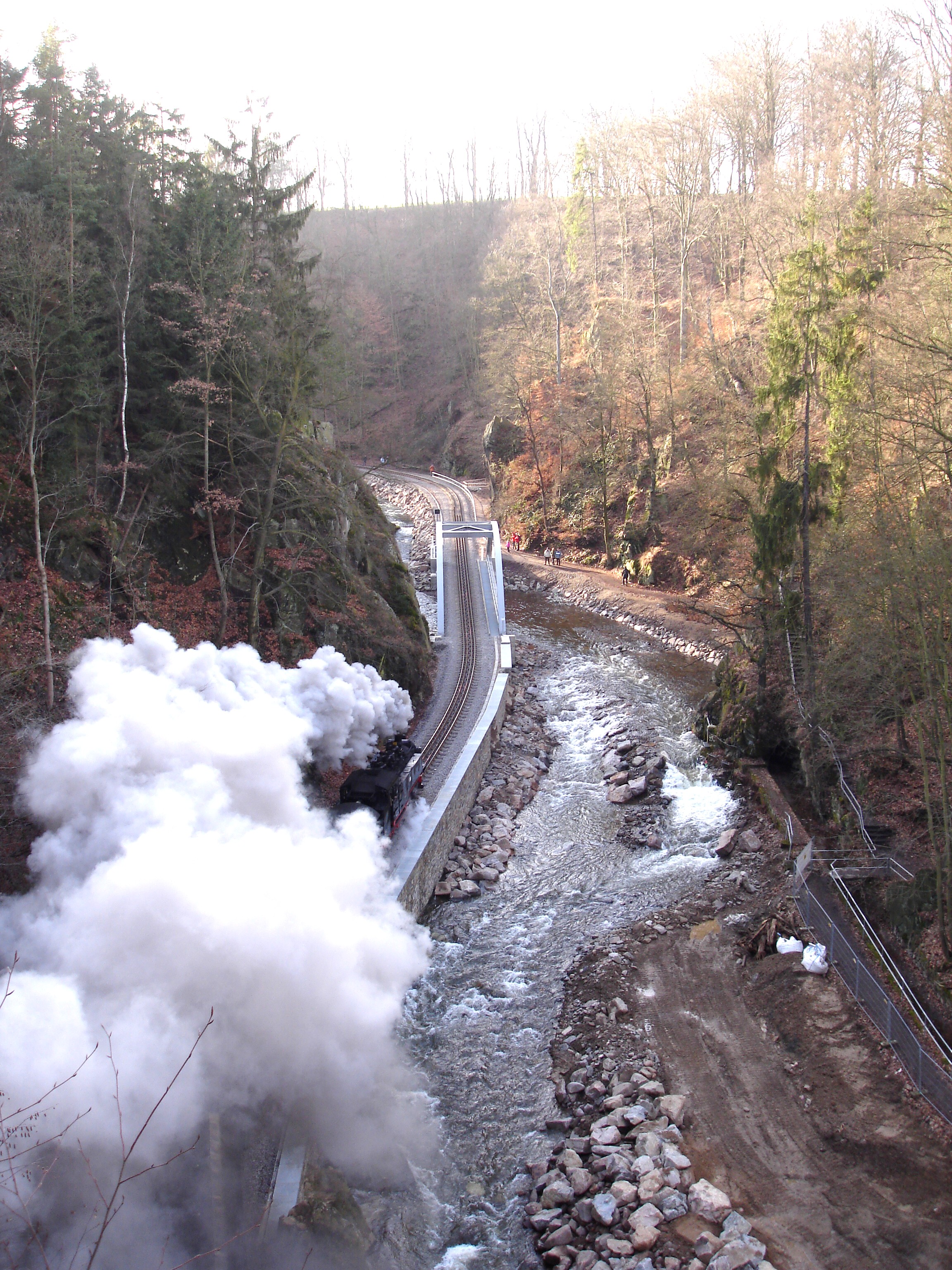
The Red Weißeritz () is a river of Saxony, Germany. The Red Weißeritz is the right headstream of the Weißeritz. It is long. The river's source is the Eastern Ore Mountains near Altenberg at a height of about 787 metres. It drops through a height of 606 metres as it heads north-west, running through Schmiedeberg, the district town of Dippoldiswalde and ending in Freital where it forms the Weißeritz together with the longer tributary of the Wild Weißeritz. The was built between 1908 and 1913 between Dippoldiswalde and Freital for flood protection reasons after the 1897 floods. The deep valley is an important transport route. It is an historic approach to a major mountain pass over the Ore Mountains (the ''Graupen Pass''). The Weisseritz railway runs through the Weißeritz valley up to (a district of Altenberg), climbing about 350 metres in height. The B 170 federal road follows the river bank between Dippoldiswalde and Waldbärenburg where it leaves the valley, climb ... [...More Info...] [...Related Items...] OR: [Wikipedia] [Google] [Baidu] |
Eastern Ore Mountains
The Eastern Ore Mountains () form a natural region of Saxony that covers the eastern part (in area almost the eastern half) of the Saxon Ore Mountains range. Together with the Western and Central Ore Mountains, it is part of the larger Saxon Highlands and Uplands region. Its southern continuation beyond the German border covers an area of roughly the same extent in the Czech Republic. Geography The region is bounded in the west by the valley of the Flöha river, itself part of the Central Ore Mountains region. In the northeast it borders on Saxon Switzerland, the German (northern) side of the Elbe Sandstone Mountains, at Bad Gottleuba. The boundary with the Ore Mountain Foreland to the north is rather unclear, roughly running from the town of Flöha along the Tharandt Forest to Tharandt. In the south, the crest of the mountain range closely follows the state border with the Czech Republic. [...More Info...] [...Related Items...] OR: [Wikipedia] [Google] [Baidu] |
Mountain Pass
A mountain pass is a navigable route through a mountain range or over a ridge. Since mountain ranges can present formidable barriers to travel, passes have played a key role in trade, war, and both Human migration, human and animal migration throughout history. At lower elevations it may be called a hill pass. A mountain pass is typically formed between two volcanic peaks or created by erosion from water or wind. Overview Mountain passes make use of a gap (landform), gap, saddle (landform), saddle, col or notch (landform), notch. A topographic saddle is analogous to the mathematical concept of a saddle surface, with a saddle point marking the minimum high point between two valleys and the lowest point along a ridge. On a topographic map, passes can be identified by contour lines with an hourglass shape, which indicates a low spot between two higher points. In the high mountains, a difference of between the summit and the mountain is defined as a mountain pass. Passes are o ... [...More Info...] [...Related Items...] OR: [Wikipedia] [Google] [Baidu] |
Rivers Of Saxony
A river is a natural stream of fresh water that flows on land or inside Subterranean river, caves towards another body of water at a lower elevation, such as an ocean, lake, or another river. A river may run dry before reaching the end of its course if it runs out of water, or only flow during certain seasons. Rivers are regulated by the water cycle, the processes by which water moves around the Earth. Water first enters rivers through precipitation, whether from rainfall, the Runoff (hydrology), runoff of water down a slope, the melting of glaciers or snow, or seepage from aquifers beneath the surface of the Earth. Rivers flow in channeled watercourses and merge in confluences to form drainage basins, or catchments, areas where surface water eventually flows to a common outlet. Rivers have a great effect on the landscape around them. They may regularly overflow their Bank (geography), banks and flood the surrounding area, spreading nutrients to the surrounding area. Sedime ... [...More Info...] [...Related Items...] OR: [Wikipedia] [Google] [Baidu] |
List Of Rivers Of Saxony
A list of rivers of Saxony, Germany: A * Alte Luppe B * Bahra * Bahre * Batschke * Bauerngraben * Biela * Black Elster * Black Pockau * Bobritzsch * Borlasbach * Brunndöbra * Burgauenbach C *Chemnitz * Colmnitzbach * Cunnersdorfer Wasser D * Dahle * Döllnitz E * Eastern Rietzschke *Elbe * Eula F * Fällbach * Feilebach * Fleißenbach * Flöha * Freiberger Mulde * Friesenbach G * Geberbach * Gimmlitz * Goldbach * Göltzsch * Gösel * Gottleuba * Greifenbach * Große Bockau * Große Lößnitz * Große Mittweida * Große Pyra * Große Röder * Großschweidnitzer Wasser * Gruna * Grundwasser H * Hammerbach * Haselbach * Helfenberger Bach * Hoyerswerdaer Schwarzwasser J * Jahna * Jahnabach * Jauer K * Kabelske * Käbnitz * Kaitzbach * Kaltenbach * Kemmlitzbach * Keppbach * Ketzerbach * Kirnitzsch * Kleine Bockau * Kleine Luppe * Kleine Pleiße * Kleine Pyra * Kleine Röder, tributary of the Black Elster * Kleine Röder, tributary of the Große Röder * Kleine Spree * Kleine ... [...More Info...] [...Related Items...] OR: [Wikipedia] [Google] [Baidu] |
Retention Basin
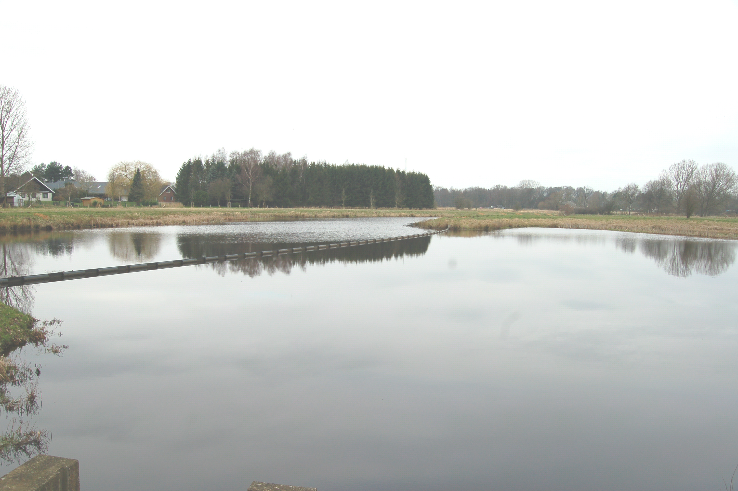
A retention basin, sometimes called a retention pond, wet detention basin, or storm water management pond (SWMP), is an artificial pond with vegetation around the perimeter and a permanent pool of water in its design. It is used to manage stormwater runoff, for protection against flooding, for erosion control, and to serve as an artificial wetland and improve the water quality in adjacent bodies of water. It is distinguished from a detention basin, sometimes called a "dry pond", which temporarily stores water after a storm, but eventually empties out at a controlled rate to a downstream water body. It also differs from an infiltration basin which is designed to direct stormwater to groundwater through permeable soils. Wet ponds are frequently used for water quality improvement, groundwater recharge, flood protection, aesthetic improvement, or any combination of these. Sometimes they act as a replacement for the natural absorption of a forest or other natural process ... [...More Info...] [...Related Items...] OR: [Wikipedia] [Google] [Baidu] |
2002 European Floods
In August 2002, a week of intense rainfall produced flooding across a large portion of Europe. It reached the Czech Republic, Italy, Spain, Austria, Germany, Slovakia, Hungary, Romania, Bulgaria, Croatia, Ukraine and Russia. The event killed 232 people and left (US$27.115 billion) in damage. The flood was of a magnitude expected to occur roughly once a century. Flood heights unknown since St. Mary Magdalene's flood were recorded. Development Flooding resulted from the passage of two Genoa low pressure systems (named Hanne and Ilse by the Free University of Berlin) which brought warm moist air from the Mediterranean northwards. The effects of El Niño may have contributed. The floods gradually moved eastwards along the Danube, although the damage in the large cities on its shores was not as severe as in the areas affected by the floods later. When the rainfall moved northeast to the Bohemian Forest and the source areas of the Elbe and Vltava rivers, the results w ... [...More Info...] [...Related Items...] OR: [Wikipedia] [Google] [Baidu] |
Hairpin Turn
A hairpin turn (also hairpin bend or hairpin corner) is a bend in a road with a very acute inner angle, making it necessary for an oncoming vehicle to turn about 180° to continue on the road. It is named for its resemblance to a bent metal hairpin. Such turns in ramps and trails may be called switchbacks in American English, by analogy with switchback railways. Description Hairpin turns are often built when a route climbs up or down a steep slope, so that it can travel mostly across the slope with only moderate steepness, and are often arrayed in a zigzag pattern. Highways with repeating hairpin turns allow easier, safer ascents and descents of mountainous terrain than a direct, steep climb and descent, at the price of greater distances of travel and usually lower speed limits, due to the sharpness of the turn. Highways of this style are also generally less costly to build and maintain than highways with tunnels. On occasion, the road may loop completely, using a tunnel or ... [...More Info...] [...Related Items...] OR: [Wikipedia] [Google] [Baidu] |
Weisseritz Railway
The Weißeritz Valley Railway () is a steam locomotive, steam operated narrow gauge railway in Saxony, Germany. The line connects Freital, near Dresden, with the spa of Kipsdorf in the Ore Mountains, and follows the valley of the Red Weißeritz. The line was the second Narrow gauge railways in Saxony, Saxon narrow gauge railway to be built, and is also considered to be the oldest public narrow gauge railway in Germany still in operation. at www.ig.weisseritztalbahn.de. Retrieved 24 Dec 2016. Since 14 September 2004, the line has been operated by Saxon Steam Railway Company (formerly the BVO Bahn), a company that also operates the Fichtelberg Railway and Radebeul–Radeburg railway, Lößnitzgrund Railway. ...
|


