|
Port Blair Port
Port Blair Port is a seaport in South Andaman district of Andaman and Nicobar, India, near the city of Port Blair on the Andaman Sea. It was a former Major Port of India. Classification From 2010 to 2017, it held the status of a Major Port. On 1 June 2010, the Government of India notified Port Blair Port as India's 13th Major Port and constituted the Port Blair Port Trust, with provisions of the Major Port Trusts Act, 1963. The government also declared that the Port Blair Port would have territorial jurisdiction over 23 other ports in Andaman and Nicobar, including East Island Port, Mayabunder Port, Elphinston Harbour Rangat Port, Havelock Port, Neil Island Port, Chowra Port, Teressa Port and Nancowry Harbour Port. However, the government decided to remove its status as a Major Port in 2017. Infrastructure facilities The harbor of this port is natural. The Anchorage depth of the port is 12.5m-13.7m and Oil terminal depth of the port is 7.1m - 9.1m. 500 meter long ship can Anchorage ... [...More Info...] [...Related Items...] OR: [Wikipedia] [Google] [Baidu] |
Port Blair
Port Blair (), officially named Sri Vijaya Puram, is the capital city of the Andaman and Nicobar Islands, a union territory of India in the Bay of Bengal. It is also the local administrative sub-division (''tehsil'') of the islands, the headquarters for the Districts of India, district of South Andaman, and the territory's only notified town. Port Blair is the entry point for the Andaman and Nicobar Islands. It is connected with mainland India by both air and sea. It is a two to three-hour flight from mainland India to Port Blair's Veer Savarkar International Airport and three to four days by sea to reach Kolkata, Chennai, or Visakhapatnam from Haddo Wharf in the city. It is home to several museums and the major naval base INS Jarawa of the Indian Navy, along with sea and air bases of the Indian Coast Guard, Andaman and Nicobar Police, Andaman and Nicobar Command, the first Indian Armed Forces Tri-Service Commands, integrated tri-command between the Indian Armed Forces, Indian ... [...More Info...] [...Related Items...] OR: [Wikipedia] [Google] [Baidu] |
Twenty-foot Equivalent Unit
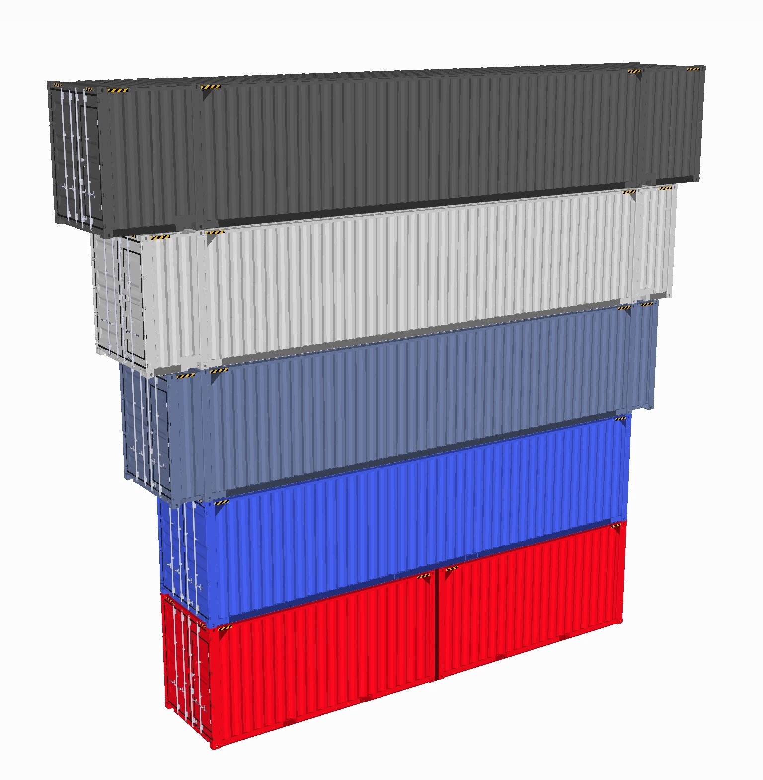
The twenty-foot equivalent unit (abbreviated TEU or teu) is a general unit of cargo capacity, often used for container ships and container ports.Rowlett, 2004. It is based on the volume of a intermodal container, a standard-sized metal box that can be easily transferred between different modes of transportation, such as ships, trains, and trucks. Detailed dimensions: 20-foot and 40-foot containers The standard intermodal container is long and wide. The height of such containers is most commonly but ranges from to . Another standard container is slightly more than twice as long: , dubbed a forty-foot equivalent unit (often FEU or feu). The reason the smaller container is short of 20 feet is to allow it to be stacked efficiently with 40-foot containers. The twistlocks on a ship are set so that two standard 20-foot containers have a gap of , allowing a single 40-foot container to fit precisely on top. The 40-foot containers have found wider acceptance, as they can be ... [...More Info...] [...Related Items...] OR: [Wikipedia] [Google] [Baidu] |
South Andaman District
South Andaman district is one of the 3 districts of the Indian Union Territory of Andaman and Nicobar Islands located in the Bay of Bengal. Sri Vijaya Puram, the capital of the Union Territory is the district headquarters. The area covered by this district is 2,640 km2. History This district was created on August 18, 2006, by bifurcating the erstwhile Andaman district. Geography South Andaman district occupies an area of , comparatively equivalent to Canada's Mansel Island. Demographics According to the 2011 census South Andaman district has a population of 238,142, roughly equal to the nation of Vanuatu. This gives it a ranking of 584th in India (out of a total of 640). The district has a population density of . Its population growth rate over the decade 2001-2011 was 13.97%. South Andaman has a sex ratio of 874 females for every 1000 males, and a literacy rate of 88.49%. Four of the indigenous Andamanese peoples, namely, Onges, Jarawas, Great Andamanese and S ... [...More Info...] [...Related Items...] OR: [Wikipedia] [Google] [Baidu] |
Andaman And Nicobar
The Andaman and Nicobar Islands is a union territory of India comprising 572 islands, of which only 38 are inhabited. The islands are grouped into two main clusters: the northern Andaman Islands and the southern Nicobar Islands, separated by a wide channel. The capital and largest city of the territory, Port Blair (officially Sri Vijaya Puram), is located approximately from Chennai and from Kolkata in mainland India. The islands are situated between the Bay of Bengal to the west and the Andaman Sea to the east. The northernmost point is from the mouth of the Hooghly River. Indira Point, located at 6°45'10″N and 93°49'36″E on the southern tip of Great Nicobar, is the southernmost point of India. The territory shares maritime borders with Indonesia located about to the south, Myanmar located to the north-east and Thailand located to the south-east. The islands occupy a total land area of approximately with a population of 380,581 as per the 2011 census. The te ... [...More Info...] [...Related Items...] OR: [Wikipedia] [Google] [Baidu] |
Andaman Sea
The Andaman Sea (historically also known as the Burma Sea) is a marginal sea of the northeastern Indian Ocean bounded by the coastlines of Myanmar and Thailand along the Gulf of Martaban and the west side of the Malay Peninsula, and separated from the Bay of Bengal to its west by the Andaman Islands and the Nicobar Islands. Its southern end is at Breueh Island just north of Sumatra, with the Strait of Malacca further southeast. Traditionally, the sea has been used for fishery and transportation of goods between the coastal countries and its coral reefs and islands, which are popular tourist destinations. The fishery and tourist infrastructure was severely damaged by the December 2004 Indian Ocean earthquake and tsunami. Geography Location The Andaman Sea, which extends over 92°E to 100°E and 4°N to 20°N, occupies a very significant position in the Indian Ocean, yet remained unexplored for a long period. To the south of Myanmar, west of Thailand, and north of Indonesia, t ... [...More Info...] [...Related Items...] OR: [Wikipedia] [Google] [Baidu] |
Government Of India
The Government of India (ISO 15919, ISO: Bhārata Sarakāra, legally the Union Government or Union of India or the Central Government) is the national authority of the Republic of India, located in South Asia, consisting of States and union territories of India, 36 states and union territories. The government is led by the president of India (currently ) who largely exercises the executive powers, and selects the Prime Minister of India, prime minister of India and other ministers for aid and advice. Government has been formed by the The prime minister and their senior ministers belong to the Union Council of Ministers, its executive decision-making committee being the Cabinet (government), cabinet. The government, seated in New Delhi, has three primary branches: the legislature, the executive and the judiciary, whose powers are vested in bicameral Parliament of India, Union Council of Ministers (headed by prime minister), and the Supreme Court of India respectively, with a p ... [...More Info...] [...Related Items...] OR: [Wikipedia] [Google] [Baidu] |
International Container Transshipment Terminal, Great Nicobar Island
The International Container Transshipment Port (ICTP), also called the Galathea Bay Port is a proposed container transshipment port at Galathea Bay, Great Nicobar Island in the union territory of Andaman and Nicobar Islands, India, to be constructed at a cost of 44,000 crore. It has a natural depth of more than 20 meter. It is developed by the Ministry of Ports, Shipping and Waterways under the Government of India. In September 2024, it was officially notified as the 13th major port of India. The first phase of development is expected to be commissioned in 2028. Background Experts have long maintained that there is a compelling economic case for establishing a transshipment hub in India that can draw regional and domestic transhipment traffic away from the existing hubs, save significant revenue loss, improve logistics for Indian trade, lower risks to the nation's export competitiveness, and give India the chance to grow into a significant hub for transhipment of container traf ... [...More Info...] [...Related Items...] OR: [Wikipedia] [Google] [Baidu] |
Campbell Bay, Great Nicobar
Campbell Bay is a village in the Nicobar district of Andaman and Nicobar Islands, India. It is located in the Great Nicobar tehsil. The island's Indira Point is famous for being the southernmost point of India. Demographics According to the 2011 census of India, Campbell Bay has 1608 households. The effective literacy rate (i.e. the literacy rate of population excluding children aged 6 and below) is 86.28%. National park Campbell Bay National Park is a part of Great Nicobar Biosphere Reserve. This national park is spread over 426 km2 in the northern part of Great Nicobar. The park reserve's flora includes tropical evergreen forest, tree fern, and orchids and fauna includes Crab-eating macaque, giant robber crab, megapode, and Nicobar pigeon. This comes along the basin side of Glatiya river. The capital of these islands is Port Blair, these Islands were named Swaraj Shahid Island by Netaji Subash Chandra bose. INS Baaz INS Baaz was inaugurated on 31 July 2012 by ... [...More Info...] [...Related Items...] OR: [Wikipedia] [Google] [Baidu] |


