|
Parein
Parein ( my, ပရိန်မြို့, ) is the former capital of the Parein Dynasty of Arakan from 1103/1106 to 1167 during the Le-Mro period. The site of the former capital is located a few miles southeast of Mrauk U and north of Launggyet within Mrauk-U Township. Geography The old city of Parein faces the Lemro River in the east. It has at its back a ridge that run parallel to the Mong-swe ridge between the Kaladan and Lemro Rivers. In the south, Paungdok creek separates Parein from the Launggret. To its north is the Alayzee creek. History In the eleventh century, the Waithali Kingdom declined, giving way to the Lemro period of Arakanese history. The history of this period is dependent on chronicles which state that the shift in power from the Kaladan valley, where Waithali lies, to the Lemro valley began when the capital was moved to Sambawak and then Pyinsa. Pyinsa developed for a few decades before the capital was, again, moved to Parein. Based on the chronicl ... [...More Info...] [...Related Items...] OR: [Wikipedia] [Google] [Baidu] |
List Of Arakanese Monarchs
The following is a list of monarchs of Arakan, starting from the Lemro period. For monarchs from earlier periods, see List of early and legendary monarchs of Burma. Lemro (1018–1430) Unless otherwise noted, the regnal dates in this section are abbreviated to the first Western calendar year only although the Burmese calendar straddles the Western calendar. For example, the start of King Khittathin's reign, 380 ME (26 March 1018 to 25 March 1019 CE), is shown here only as 1018 (instead of 1018/19). Pyinsa(1018–1103) Parein(1103–1167) Hkrit (1167–1180) Nyeinjara Toungoo (1180–1237) Launggyet (1251–1406) Interregnum (1406–1429) North Arakan Sandoway (Thandwe) Mrauk-U (1429–1785) The reign dates are per the Arakanese chronicle ''Rakhine Razawin Thit'' (Sandamala Linkara Vol. 2 1931), converted into Western dates using (Eade 1989). (Some Arakanese chronicles state the foundation of the kingdom a year later, 1430. Moreover, the end of the kingdom ... [...More Info...] [...Related Items...] OR: [Wikipedia] [Google] [Baidu] |
Nat (deity)
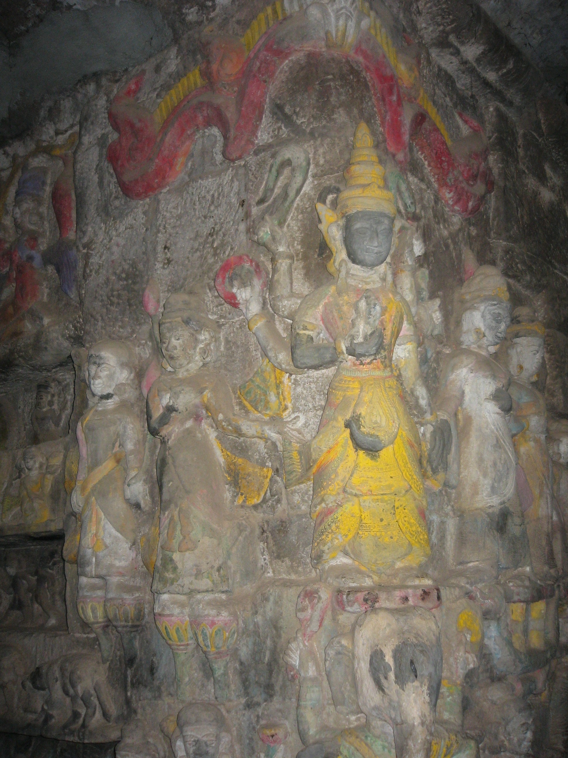
The nats (; MLCTS: ''nat''; ) are god-like spirits venerated in Myanmar and neighbouring countries in conjunction with Buddhism. They are divided between the 37 ''Great Nats'' who were designated that status by King Anawrahta when he formalized the official list of nats. Most of the 37 ''Great Nats'' were human beings who met violent deaths. There are two types of ''nats'' in Burmese Belief: ''nat sein'' () which are humans that were deified after their deaths and all the other nats which are spirits of nature (spirits of water, trees etc.). Much like sainthood, ''nats'' can be designated for a variety of reasons, including those only known in certain regions in Burma. ''Nat'' worship is less common in urban areas than in rural areas and is practised among ethnic minorities of Myanmar as well as in mainstream Bamar society. However, it is among the Theravada Buddhist Bamar that the most highly developed form of ceremony and ritual is seen. Every Burmese village has a ''nat k ... [...More Info...] [...Related Items...] OR: [Wikipedia] [Google] [Baidu] |
Arakan
Arakan ( or ) is a historic coastal region in Southeast Asia. Its borders faced the Bay of Bengal to its west, the Indian subcontinent to its north and Burma proper to its east. The Arakan Mountains isolated the region and made it accessible only by the Indian subcontinent and the sea. The region now forms the Rakhine State in Myanmar. Arakan became one of the earliest regions in Southeast Asia to embrace Dharmic religions, particularly Buddhism and Hinduism. Islam arrived with Arab merchants in the 8th century. The Kingdom of Mrauk U emerged as an independent Arakanese kingdom for 300 years. During the Age of Discovery and Bengal Subah's major economic development, Arakan caught the interest of the Dutch East India Company and the Portuguese Empire. In the middle of the 17th century, it was dominated by the Islamic Mughal Emperor Aurangzeb. Arakan steadily declined from the 18th century onwards after its loss to the Mughal Empire. After conquest by the British East ... [...More Info...] [...Related Items...] OR: [Wikipedia] [Google] [Baidu] |
History Of Rakhine
Rakhine State occupies the northern coastline of Myanmar up to the border with Bangladesh and corresponds to the historical Kingdom of Arakan. The history of Rakhine is divided into 7 parts - the independent kingdoms of Dhanyawadi, Waithali, Lemro, Mrauk U, Burmese occupation from 1785 to 1826, British rule from 1826 to 1948 and as a part of independent Burma from 1948. The Arakanese kingdom was conquered on December 31 1784 by the Burmese Konbaung Dynasty. In 1826, Arakan was ceded to the British as war reparation after the First Anglo-Burmese War. It became part of the Province of Burma of British India in 1886, after the annexation of Burma by the British. Arakan became part of the Crown Colony of British Burma which was split off from British India in 1937. Northern Rakhine state became a contested battleground throughout the Japanese occupation of Burma. After 1948, Rakhine became part of the newly independent state of Burma. However, the independence of Arakan was just ... [...More Info...] [...Related Items...] OR: [Wikipedia] [Google] [Baidu] |
Launggyet
Launggyet ( my, လောင်းကြက်မြို့ ) is a former capital of the Launggyet Dynasty of Arakan from 1237/1251 to 1430. It is also last capital of Laymro Kingdom. The former capital site is located a few miles northwest of Mrauk U, Rakhine State, Myanmar. The Arakanese chronicle ''Rakhine Razawin Thit ''Rakhine Razawin Thit'' ( my, ရခိုင် ရာဇဝင်သစ်, , Arakanese pronunciation: ) is a Burmese chronicle covering the history of Arakan from time immemorial to the First Anglo-Burmese War (1824–1826). The author was ...'' gives the foundation date as 22 April 1251.(Sandamala Linkara Vol. 1 1997: 171): The city was founded on Saturday, 2nd waxing of Nayon 613 ME (Saturday, 22 April 1251.) Some Arakanese chronicles give the foundation date as 1237 CE.Harvey 1925: 371 History Launggret City was founded in 1237 by King Alawmaphyu after relocating from Nareinjara Toungoo and ended in 1430. References Bibliography * * ... [...More Info...] [...Related Items...] OR: [Wikipedia] [Google] [Baidu] |
Lemro River
The Lemro ( my, လေးမြို့မြစ်, ) originally called Aizannadi is a river of Myanmar flowing through Chin State and Rakhine State. It flows into the Bay of Bengal east of Sittwe. The name of the river was given after establishment of four kingdom cities of Arakanese people between the eight and thirteen centuries along the river bank. The Lemro valley is noted for its rock art from these settlers. History Originally called 'Azinnandi River' before it was named after establishment of four kingdom cities that ruled Arakan from 8th century to until 15th century. Pyinsa - 1018 Parein - 1102 Hkrit - 1137 Launggyet - 1237 Etymology In the term of "Lemro," the first term "Le" or "Lay" refers to counting number of "4" and the second term "Mro" refers to "town or city." Lay Mro in the Rakhine language means "four cities," which refers to the four ancient Arakanese cities that flourished by the side of the river. Physiography Sources Lémro river originates ... [...More Info...] [...Related Items...] OR: [Wikipedia] [Google] [Baidu] |
Pyinsa
Pyinsa ( my, ပဉ္စာမြို့, ) is a former capital of Arakan from 1018 to 1118 and from 1180 to 1237.Harvey 1925: 137 The former capital site is located north of Mrauk U, Rakhine State, Myanmar. History The city was founded by Khittatin in 1018 AD. After capital of Waithali Waithali ( my, ဝေသာလီမြို့, , pi, Vesālī) located in today's northern Rakhine State, Myanmar, was the capital of the Waithali Kingdom from 788 to 1018. The former capital site is approximately north-east of Sittwe, and ... was devastated by Pyu Invasion. References Bibliography * 1018 establishments in Asia 1237 disestablishments in Asia {{Myanmar-stub ... [...More Info...] [...Related Items...] OR: [Wikipedia] [Google] [Baidu] |
Administrative Divisions Of Myanmar
Myanmar is divided into twenty-one administrative subdivisions, which include 7 regions, 7 states, 1 union territory, 1 self-administered division, and 5 self-administered zones. Following is the table of government subdivisions and its organizational structure based on different regions, states, the union territory, the self-administered division, and the self-administered zones: The regions were called divisions prior to August 2010, and four of them are named after their capital city, the exceptions being Sagaing Region, Ayeyarwady Region and Tanintharyi Region. The regions can be described as ethnically predominantly Burman (Bamar), while the states, the zones and Wa Division are dominated by ethnic minorities. Yangon Region has the largest population and is the most densely populated. The smallest population is Kayah State. In terms of land area, Shan State is the largest and Naypyidaw Union Territory is the smallest. Regions and states are divided into distr ... [...More Info...] [...Related Items...] OR: [Wikipedia] [Google] [Baidu] |
Bagan Kingdom
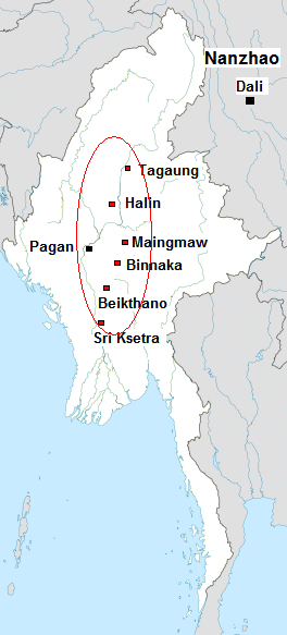
The Kingdom of Pagan ( my, ပုဂံခေတ်, , ; also known as the Pagan Dynasty and the Pagan Empire; also the Bagan Dynasty or Bagan Empire) was the first Burmese kingdom to unify the regions that would later constitute modern-day Myanmar. Pagan's 250-year rule over the Irrawaddy valley and its periphery laid the foundation for the ascent of Burmese language and culture, the spread of Bamar ethnicity in Upper Myanmar, and the growth of Theravada Buddhism in Myanmar and in mainland Southeast Asia.Lieberman 2003: 88–123 The kingdom grew out of a small 9th-century settlement at Pagan (present-day Bagan) by the Mranma/Burmans, who had recently entered the Irrawaddy valley from the Kingdom of Nanzhao. Over the next two hundred years, the small principality gradually grew to absorb its surrounding regions until the 1050s and 1060s when King Anawrahta founded the Pagan Empire, for the first time unifying under one polity the Irrawaddy valley and its periphery. By ... [...More Info...] [...Related Items...] OR: [Wikipedia] [Google] [Baidu] |
Myanmar Army
The Myanmar Army ( my, တပ်မတော်(ကြည်း), ) is the largest branch of the Armed Forces (''Tatmadaw'') of Myanmar (Burma) and has the primary responsibility of conducting land-based military operations. The Myanmar Army maintains the second largest active force in Southeast Asia after the People's Army of Vietnam, with a troop strength of around 350,000 in 2006. It has clashed against ethnic and political insurgents since its inception in 1948. The force is headed by the Commander-in-Chief of Myanmar Army (), currently Vice-Senior General Soe Win, concurrently Deputy Commander-in-Chief of the Defence Services (), with Senior General Min Aung Hlaing as the Commander-in-Chief of Defence Services (). The highest rank in the Myanmar Army is Senior General, equivalent to field marshal in Western armies and is currently held by Min Aung Hlaing after being promoted from Vice-Senior General. In 2011, following a transition from military government to civili ... [...More Info...] [...Related Items...] OR: [Wikipedia] [Google] [Baidu] |


