|
Minakuchi Station
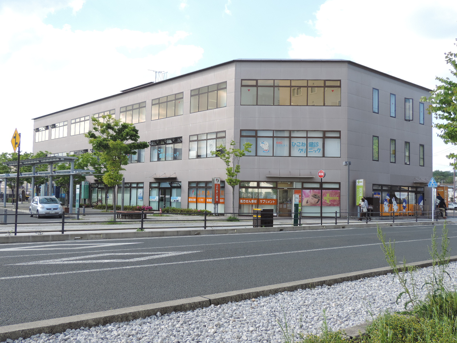
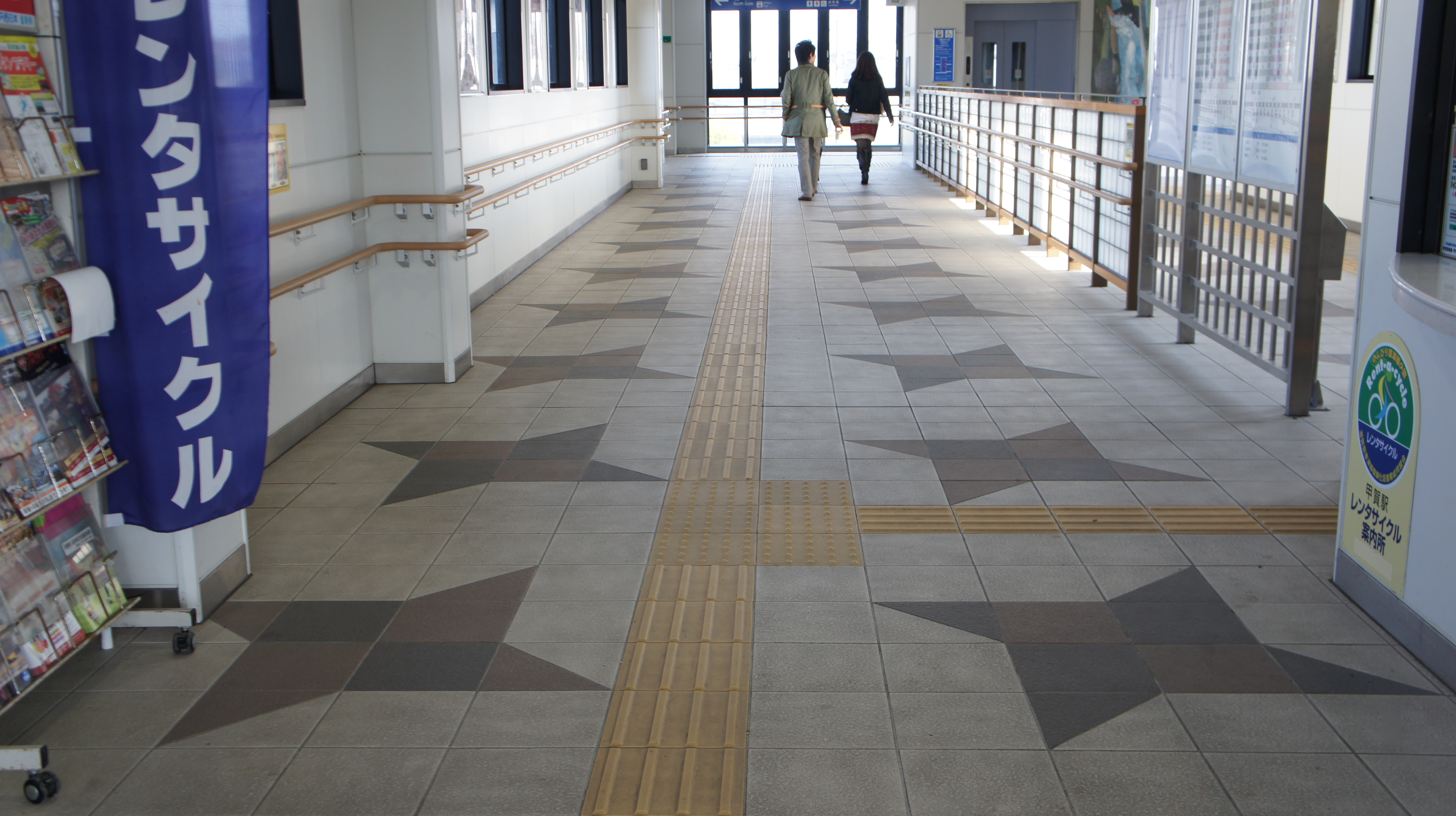
is a passenger railway station in located in the city of Kōka, Shiga Prefecture, Japan, operated by the private railway operator Ohmi Railway. Lines Minakuchi Station is served by the Ohmi Railway Main Line, and is located 43.8 rail kilometers from the terminus of the line at Maibara Station. Station layout The station consists of two unnumbered opposed side platforms connect to the station building by a level crossing. The station is unattended. Platforms Adjacent stations History Minakuchi Station was opened on December 28, 1900 Passenger statistics In fiscal 2018, the station was used by an average of 348 passengers daily. Surroundings * Japan National Route 1 * Japan National Route 307 National Route 307 is a national highway of Japan connecting Hikone, Shiga and Hirakata, Osaka 260px, Hirakata Park is a city in northeastern Osaka Prefecture, Japan. , the city had an estimated population of 397,681 in 183075 households ... *Shiga Prefectural Mizuguch ... [...More Info...] [...Related Items...] OR: [Wikipedia] [Google] [Baidu] |
Ohmi Railway
is a Japanese private railway company which operates in Shiga Prefecture, and a member of the Seibu group since 1943. The company is named after the Ōmi Province, the former name of the present-day Shiga. The railway is nicknamed by local users because of its noisy sound. History Ohmi Railway is the longest private railway company in Shiga. The company was founded in 1896 and started train services from Hikone to Echigawa in 1898. The company was a subsidiary of from 1926 to 1942. In 1944, the company absorbed the , now the Yokaichi Line. Lines Ohmi Railway consists of three lines: the Main Line, and two branch lines, the Yōkaichi Line and the Taga Line. The Main Line connects with the Tōkaidō Main Line (Biwako Line), the Hokuriku Main Line and the Tōkaidō Shinkansen at Maibara, the Biwako Line at Hikone, and the Kusatsu Line and the Shigaraki Kōgen Railway at Kibukawa. The Yōkaichi Line connects with the Biwako Line at Ōmi-Hachiman. At first, the Main Line was ... [...More Info...] [...Related Items...] OR: [Wikipedia] [Google] [Baidu] |
Ohmi Railway Main Line
The is a regional railway line in Shiga Prefecture operated by the private railway operator Ohmi Railway. It connects the cities of Maibara and Koka. Its alignment is parallel with the Tōkaidō Shinkansen between Takamiya and Gokasho. The line is long, extending from Maibara to Kibukawa. The line connects with the JR Central Tōkaidō Main Line and Tōkaidō Shinkansen, and the JR West Hokuriku Main Line and Biwako Line at Maibara, and the JR West Kusatsu Line and the Shigaraki Kōgen Railway Shigaraki Line at Kibukawa. History The Hikone to Yokaichi section opened in 1898, reaching Kibukawa in 1900. The Hikone to Takamiya section was electrified at 600 V DC in 1925, with the Takamiya to Kibukawa section electrified at 1,500 V DC in 1928, and the Hikone to Takamiya section raised to that voltage at the same time. The Hikone to Maibara section opened in 1931 following the construction of the 340 m Sawayama Tunnel, electrified from opening. Transport of postal items cea ... [...More Info...] [...Related Items...] OR: [Wikipedia] [Google] [Baidu] |
Railway Station
Rail transport (also known as train transport) is a means of transport using wheeled vehicles running in railway track, tracks, which usually consist of two parallel steel railway track, rails. Rail transport is one of the two primary means of land transport, next to road transport. It is used for about 8% of passenger and rail freight transport, freight transport globally, thanks to its Energy efficiency in transport, energy efficiency and potentially high-speed rail, high speed.Rolling stock on rails generally encounters lower friction, frictional resistance than rubber-tyred road vehicles, allowing rail cars to be coupled into longer trains. Power is usually provided by Diesel locomotive, diesel or Electric locomotive, electric locomotives. While railway transport is capital intensity, capital-intensive and less flexible than road transport, it can carry heavy loads of passengers and cargo with greater energy efficiency and safety. Precursors of railways driven by human or an ... [...More Info...] [...Related Items...] OR: [Wikipedia] [Google] [Baidu] |
Kōka, Shiga
Kōka "ninja house" Shigaraki ware ceramics is a city in southern Shiga Prefecture, Japan. , the city had an estimated population of 89,619 in 36708 households and a population density of 190 persons per km². The total area of the city is . Geography Kōka occupies the entire southern end of Shiga Prefecture, and is thus long east-to-west. At the eastern end of Kōka, the southern ridge of the Suzuka Mountains with one elevation of 1000 meters runs from northeast to southwest, forming the boundary with Mie Prefecture. The highest altitude point in Kōka is Mount Amagoi in this range. Neighboring municipalities Kyoto Prefecture * Minamiyamashiro * Ujitawara * Wazuka Mie Prefecture * Iga * Kameyama *Komono * Suzuka *Yokkaichi Shiga Prefecture * Higashiōmi * Hino * Konan * Ōtsu * Rittō * Ryūō Climate Kōka has a Humid subtropical climate (Köppen ''Cfa'') characterized by warm summers and cool winters with light to no snowfall. The average annual temperature in Kōka ... [...More Info...] [...Related Items...] OR: [Wikipedia] [Google] [Baidu] |
Shiga Prefecture
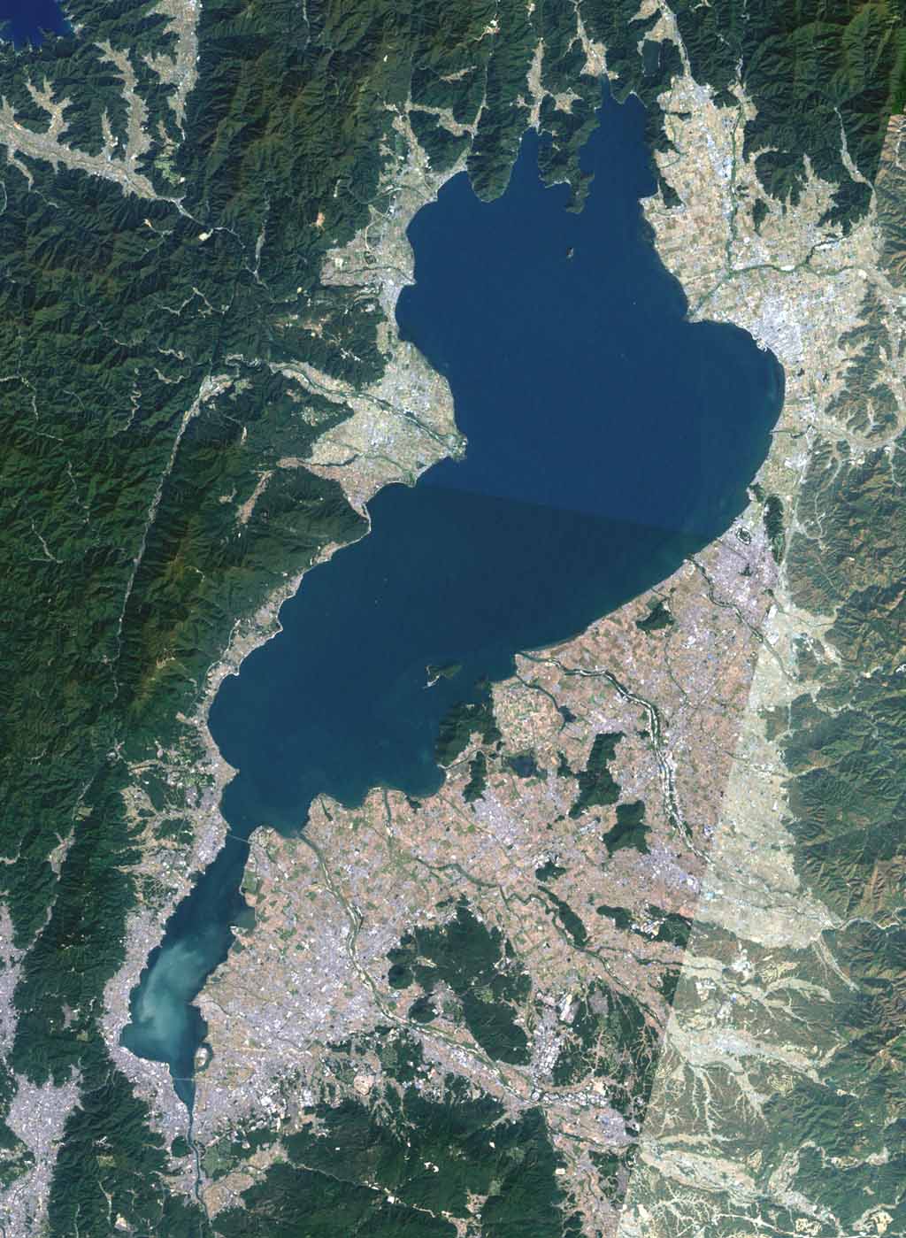
is a landlocked prefecture of Japan in the Kansai region of Honshu. Shiga Prefecture has a population of 1,398,972 as of 1 February 2025 and has a geographic area of . Shiga Prefecture borders Fukui Prefecture to the north, Gifu Prefecture to the northeast, Mie Prefecture to the southeast, and Kyoto Prefecture to the west. Ōtsu is the capital and largest city of Shiga Prefecture, with other major cities including Kusatsu, Nagahama, and Higashiōmi. Shiga Prefecture encircles Lake Biwa, the largest freshwater lake in Japan, and 37% of the total land area is designated as Natural Parks, the highest of any prefecture. Shiga Prefecture's southern half is located adjacent to the former capital city of Kyoto and forms part of Greater Kyoto, the fourth-largest metropolitan area in Japan. Shiga Prefecture is home to Ōmi beef, the Eight Views of Ōmi, and Hikone Castle, one of four national treasure castles in Japan. History Shiga was known as Ōmi Province or Gōshū bef ... [...More Info...] [...Related Items...] OR: [Wikipedia] [Google] [Baidu] |
Maibara Station
is an interchange passenger railway station located in the city of Maibara, Shiga, Japan. On the border between West Japan Railway Company (JR West) and Central Japan Railway Company (JR Central), it is jointly operated by both companies, along with the private railway operator Ohmi Railway. It is also a freight depot for the Japan Freight Railway Company (JR Freight). Lines Maibara Station is served by the JR West Hokuriku Main Line and the Biwako Line section of the Tōkaidō Main Line. It is also served by the JR Central Tōkaidō Shinkansen and the JR Central portion of Tōkaidō Main Line towards and . It is 445.9 kilometers from Tokyo Station and is the southern terminus of the 176.6 kilometer Hokuriku Main Line to . It is also the terminus for the 44.7 kilometer Ohmi Railway Main Line to . Station layout JR The JR portion of the station consists of three island platforms with six tracks for the Tōkaidō Line and the Hokuriku Line. There is an island platform, a ... [...More Info...] [...Related Items...] OR: [Wikipedia] [Google] [Baidu] |
Side Platform
A side platform (also known as a marginal platform or a single-face platform) is a platform positioned to the side of one or more railway tracks or guideways at a railway station, tram stop, or transitway. A station having dual side platforms, one for each direction of travel, is the basic design used for double-track railway lines (as opposed to, for instance, the island platform where a single platform lies between the tracks). Side platforms may result in a wider overall footprint for the station compared with an island platform, where a single width of platform can be shared by riders using either track. In some stations, the two side platforms are connected by a footbridge or tunnel to allow safe access to the alternate platform. While a pair of side platforms is often provided on a dual-track line, a single side platform is usually sufficient (trains are usually only boarded from one side) for a single-track line. Layout Where the station is close to a level crossing (g ... [...More Info...] [...Related Items...] OR: [Wikipedia] [Google] [Baidu] |
Japan National Route 1
is a major highway on the island of Honshū in Japan. It connects Chūō, Tokyo in the Kantō region with the city of Osaka, Osaka Prefecture in the Kansai region, passing through the Chūbu region en route. It follows the old Tōkaidō westward from Tokyo to Kyoto, and the old Kyo Kaidō from there to Osaka. Between Tokyo and Aichi Prefecture it parallels the Tomei Expressway; from there to Mie Prefecture, the Higashi-Meihan Expressway, and from Shiga Prefecture to Osaka, the Meishin Expressway. It has a total length of . At its eastern terminus in Nihonbashi, Chūō, Tokyo, it meets National Routes 4, 6, 14, 15, 17, and 20. At its western terminus in Umeda, Kita-ku, Osaka, it links with Routes 2, 25, 26 and other highways. National Route 1 links Tokyo to the important prefectural capitals of Yokohama (Kanagawa Prefecture), Shizuoka, Nagoya (Aichi Prefecture), Otsu ( Shiga Prefecture), Kyoto, and Osaka. It is the modern incarnation of the pre-modern T ... [...More Info...] [...Related Items...] OR: [Wikipedia] [Google] [Baidu] |
Japan National Route 307
National Route 307 is a national highway of Japan connecting Hikone, Shiga and Hirakata, Osaka 260px, Hirakata Park is a city in northeastern Osaka Prefecture, Japan. , the city had an estimated population of 397,681 in 183075 households and a population density of 6100 persons per km2. The total area of the city is . Geography Hirakat ... in Japan, with a total length of 103.7 km (64.44 mi). References National highways of Japan Roads in Kyoto Prefecture Roads in Osaka Prefecture Roads in Shiga Prefecture 1970 establishments in Japan {{Japan-road-stub ... [...More Info...] [...Related Items...] OR: [Wikipedia] [Google] [Baidu] |
Railway Stations In Shiga Prefecture
Rail transport (also known as train transport) is a means of transport using wheeled vehicles running in tracks, which usually consist of two parallel steel rails. Rail transport is one of the two primary means of land transport, next to road transport. It is used for about 8% of passenger and freight transport globally, thanks to its energy efficiency and potentially high speed.Rolling stock on rails generally encounters lower frictional resistance than rubber-tyred road vehicles, allowing rail cars to be coupled into longer trains. Power is usually provided by diesel or electric locomotives. While railway transport is capital-intensive and less flexible than road transport, it can carry heavy loads of passengers and cargo with greater energy efficiency and safety. Precursors of railways driven by human or animal power have existed since antiquity, but modern rail transport began with the invention of the steam locomotive in the United Kingdom at the beginning of the 19th c ... [...More Info...] [...Related Items...] OR: [Wikipedia] [Google] [Baidu] |


