|
Micou Point
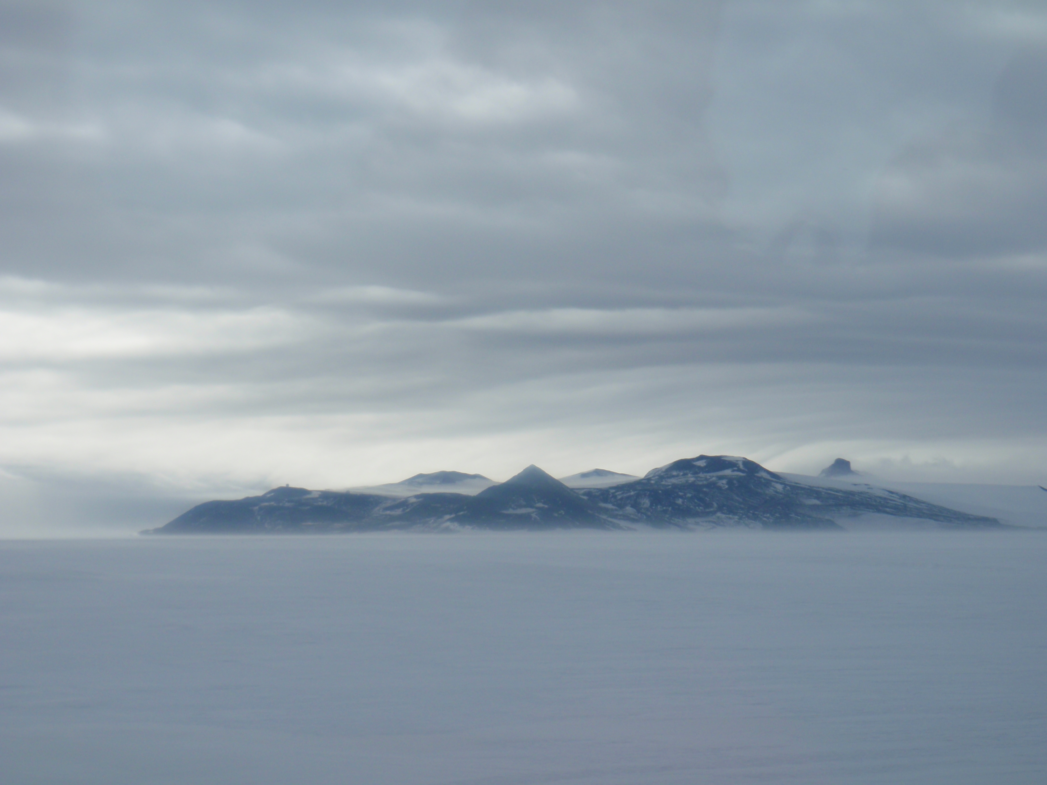
Micou Point is a point north-east of Cape Royds on the west side of Ross Island, Antarctica. The point constitutes the north end of Maumee Bight in Wohlschlag Bay. It was named by the Advisory Committee on Antarctic Names in 1993 for air crewman Benjamin Micou Benjamin ( he, ''Bīnyāmīn''; "Son of (the) right")blue letter bible: https://www.blueletterbible.org/lexicon/h3225/kjv/wlc/0-1/ H3225 - yāmîn - Strong's Hebrew Lexicon (kjv) was the last of the two sons of Jacob and Rachel (Jacob's thirt ..., US Navy, who lost his life in a helicopter accident near this point on 13 October 1992. References Headlands of Ross Island {{RossIsland-geo-stub ... [...More Info...] [...Related Items...] OR: [Wikipedia] [Google] [Baidu] |
Cape Royds
Cape Royds is a dark rock cape forming the western extremity of Ross Island, facing on McMurdo Sound, Antarctica. It was discovered by the Discovery Expedition (1901–1904) and named for Lieutenant Charles Royds, Royal Navy, who acted as meteorologist on the expedition. Royds subsequently rose to become an Admiral and was later Commissioner of the Metropolitan Police, London. There is a hut at Cape Royds built and used by Ernest Shackleton and his team during their 1907–1909 expedition. Shackleton's Hut When Shackleton went into McMurdo Sound in 1908, having failed to land on King Edward VII Land, he decided to build a hut at Cape Royds, a small promontory twenty-three miles north of Hut Point where Scott had stayed during the Discovery Expedition. The whole shore party lived in this hut through the winter of 1908. When spring came stores were sledged to Hut Point, so that should the sea-ice break up early between these two places they might not be left in an awkward po ... [...More Info...] [...Related Items...] OR: [Wikipedia] [Google] [Baidu] |
Ross Island
Ross Island is an island formed by four volcanoes in the Ross Sea near the continent of Antarctica, off the coast of Victoria Land in McMurdo Sound. Ross Island lies within the boundaries of Ross Dependency, an area of Antarctica claimed by New Zealand. History Discovery Sir James Ross discovered it in 1840, and it was later named in honour of him by Robert F. Scott. Ross Island was the base for many of the early expeditions to Antarctica. It is the southernmost island reachable by sea. Huts built by Scott's and Shackleton's expeditions are still standing on the island, preserved as historical sites. Today Ross Island is home to New Zealand's Scott Base, and the largest Antarctic settlement, the U.S. Antarctic Program's McMurdo Station. Greenpeace established World Park Base on the island and ran it for five years, from 1987 to 1992. Geography Because of the persistent presence of the ice sheet, the island is sometimes taken to be part of the Antarctic mainland. I ... [...More Info...] [...Related Items...] OR: [Wikipedia] [Google] [Baidu] |
Maumee Bight
Wohlschlag Bay () is a large bay indenting the western side of Ross Island, Antarctica, and lying between Harrison Bluff and Cape Royds. It was first charted by the Discovery Expedition under Robert Falcon Scott, 1901–1904, then named by the Advisory Committee on Antarctic Names (US-ACAN) in 1964 for Donald E. Wohlschlag, professor of biology at Stanford University, who outfitted the biology laboratories on the USNS Eltanin and at McMurdo Station. Romanes Beach Romanes Beach is a beach on the north shore of Wohlschlag Bay, just south of Harrison Bluff. It was mapped by a party of the New Zealand Geological Survey Antarctic Expedition (NZGSAE), 1958–59, landed there by the . It was named by the New Zealand Antarctic Place-Names Committee (NZ-APC) for W. Romanes, mountaineer assistant with the expedition. Maumee Bight The southern part of the bay is formed by Maumee Bight, a long bight between Rocky Point and Micou Point. In association with the names of expedition ... [...More Info...] [...Related Items...] OR: [Wikipedia] [Google] [Baidu] |
Wohlschlag Bay
Wohlschlag Bay () is a large bay indenting the western side of Ross Island, Antarctica, and lying between Harrison Bluff and Cape Royds. It was first charted by the Discovery Expedition under Robert Falcon Scott, 1901–1904, then named by the Advisory Committee on Antarctic Names (US-ACAN) in 1964 for Donald E. Wohlschlag, professor of biology at Stanford University, who outfitted the biology laboratories on the USNS Eltanin and at McMurdo Station. Romanes Beach Romanes Beach is a beach on the north shore of Wohlschlag Bay, just south of Harrison Bluff. It was mapped by a party of the New Zealand Geological Survey Antarctic Expedition (NZGSAE), 1958–59, landed there by the . It was named by the New Zealand Antarctic Place-Names Committee (NZ-APC) for W. Romanes, mountaineer assistant with the expedition. Maumee Bight The southern part of the bay is formed by Maumee Bight, a long bight between Rocky Point and Micou Point. In association with the names of expedit ... [...More Info...] [...Related Items...] OR: [Wikipedia] [Google] [Baidu] |
Advisory Committee On Antarctic Names
The Advisory Committee on Antarctic Names (ACAN or US-ACAN) is an advisory committee of the United States Board on Geographic Names responsible for recommending commemorative names for features in Antarctica. History The committee was established in 1943 as the Special Committee on Antarctic Names (SCAN). It became the Advisory Committee on Antarctic Names in 1947. Fred G. Alberts was Secretary of the Committee from 1949 to 1980. By 1959, a structured nomenclature was reached, allowing for further exploration, structured mapping of the region and a unique naming system. A 1990 ACAN gazeeter of Antarctica listed 16,000 names. Description The United States does not recognise territorial boundaries within Antarctica, so ACAN assigns names to features anywhere within the continent, in consultation with other national nomenclature bodies where appropriate, as defined by the Antarctic Treaty System. The research and staff support for the ACAN is provided by the United States Geolog ... [...More Info...] [...Related Items...] OR: [Wikipedia] [Google] [Baidu] |
Benjamin Micou
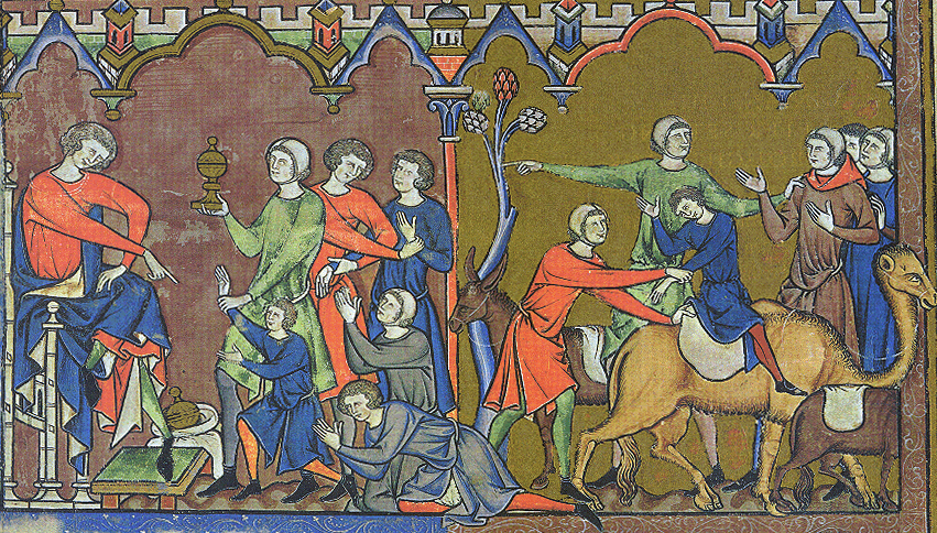
Benjamin ( he, ''Bīnyāmīn''; "Son of (the) right")blue letter bible: https://www.blueletterbible.org/lexicon/h3225/kjv/wlc/0-1/ H3225 - yāmîn - Strong's Hebrew Lexicon (kjv) was the last of the two sons of Jacob and Rachel (Jacob's thirteenth child and twelfth and youngest son) in Jewish, Christian and Islamic tradition. He was also the progenitor of the Israelites, Israelite Tribe of Benjamin. Unlike Rachel's first son, Joseph (Genesis), Joseph, Benjamin was born in Canaan according to biblical narrative. In the Samaritan Pentateuch, Benjamin's name appears as "Binyamēm" (Samaritan Hebrew: , "son of days"). In the Quran, Benjamin is referred to as a righteous young child, who remained with Jacob when the older brothers plotted against Joseph. Later rabbinic traditions name him as one of four ancient Israelites who died without sin, the other three being Chileab, Jesse (biblical figure), Jesse and Amram. Name The name is first mentioned in letters from King Sîn-kāšid ... [...More Info...] [...Related Items...] OR: [Wikipedia] [Google] [Baidu] |

