|
Mangatoki
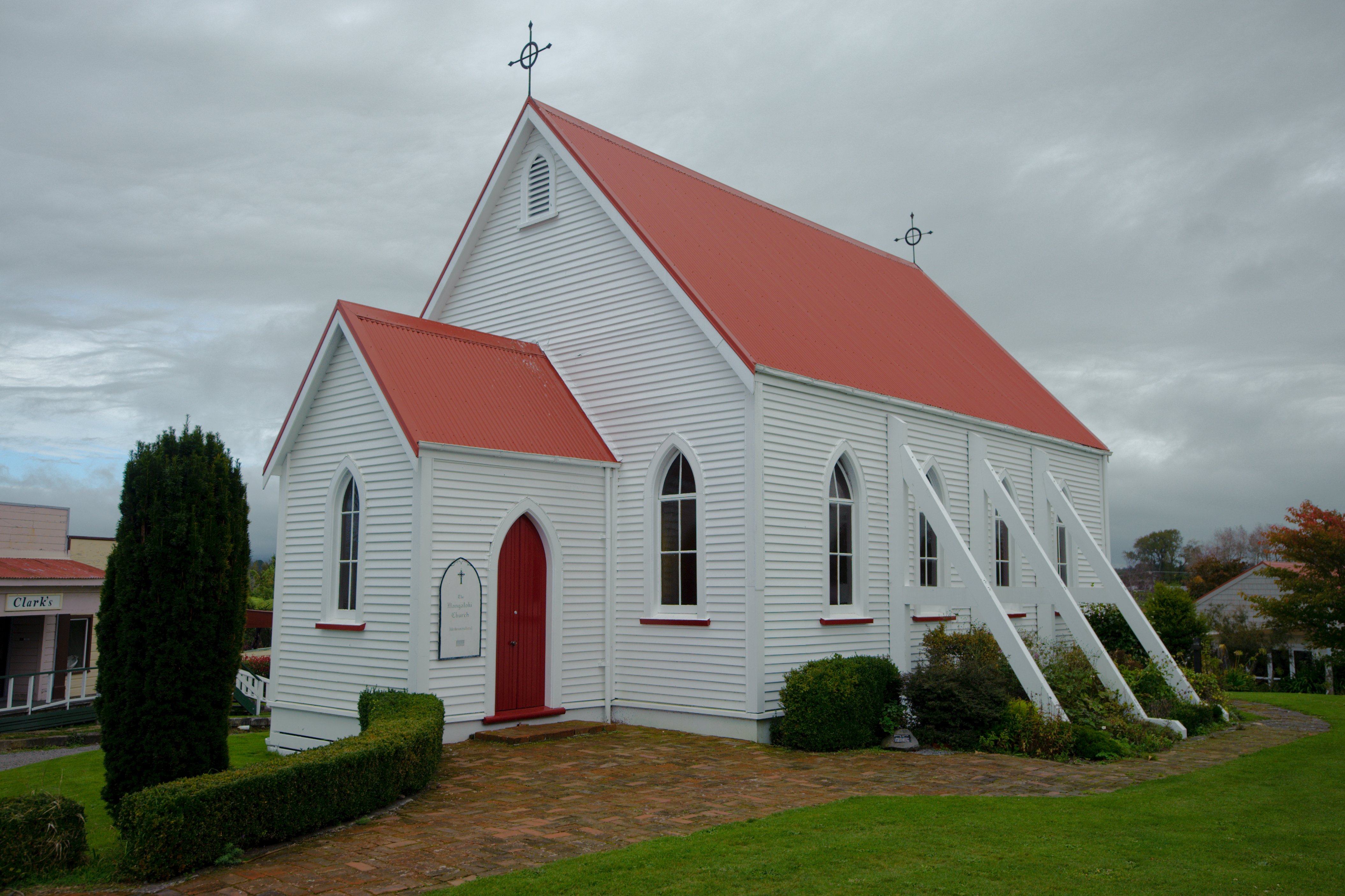
Mangatoki is a locality in southern Taranaki, in New Zealand's North Island. Eltham is to the east, Kaponga to the west and Matapu to the south. The Mangatoki Stream runs from Mount Taranaki through the area and into the Waingongoro River The Waingongoro River is a river of the Taranaki Region of New Zealand's North Island. It flows initially southeast from the slopes of Taranaki/Mount Egmont and passes through the town of Eltham before veering southwest to meet the Tasman Sea five .... Demographics Mangatoki is part of the Kaponga-Mangatoki statistical area. Education Te Kura o Nga Ruahine Rangi is a coeducational composite (years 1-15) school with a roll of students as of It started as a private school in Awatuna about 1996. At the beginning of 2008 it moved to the grounds of the former Mangatoki School and became a fully funded state school with "special character" status. Mangatoki School was a primary school which opened in 1891 and closed in 2005. Notes Furthe ... [...More Info...] [...Related Items...] OR: [Wikipedia] [Google] [Baidu] |
Kaponga
Kaponga is a small town in the southern part of the Taranaki region of New Zealand. It is known as "The Gateway to Dawson's Falls" on Mount Taranaki. Kaponga is located inland from Manaia and Eltham, and is on the main road connecting Eltham to Ōpunake. Ōpunake is to the west and Eltham is 13 km to the east. Auroa lies to the south-east. Manaia is south of Kaponga. History The small town of Kaponga was settled in 1882, and has strong Swiss connections. Some of the first settlers in the area were Swiss, and in 1952, the Taranaki Swiss Club was formed. The town was once a much larger town than it is today: with many stores. There are only a few shops now, including a '' Fish n Chip Shop'', the ''4 Square'' (supermarket), a bed-and-breakfast (Constable Cottage), veterinary services (Coastal Veterinary Services Ltd), ''Farm Source'' (another rural supply business), and the Kaponga Hotel (bar). A recent addition to Kaponga is ''The Green Door'', a music shop featuring ... [...More Info...] [...Related Items...] OR: [Wikipedia] [Google] [Baidu] |
Matapu
Matapu is a locality in southern Taranaki Region of New Zealand. Hāwera is to the south-east, Eltham to the north-east, Kaponga to the north-west and Manaia to the south-west. Marae Matapu has three marae, associated with Ngāruahine hapū. Aotearoa Marae and its Ngākaunui are affiliated with Ōkahu-Inuāwai. Te Aroha o Tītokowaru Marae and Te Aroha meeting house belong to Ngāti Manuhiakai. Kanihi or Māwhitiwhiti Marae and Kanihi meeting house are affiliated with Kanihi-Umutahi. In October 2020, the Government committed $1,259,392 from the Provincial Growth Fund to upgrade Aotearoa Marae and 7 other Ngāti Raukawa marae, creating 18 jobs. Education Matapu School is a coeducational full primary (years 1–8) school with a decile rating of 7 and a roll of 75. In 2005, Okaiawa and Mangatoki Mangatoki is a locality in southern Taranaki, in New Zealand's North Island. Eltham is to the east, Kaponga to the west and Matapu to the south. The Mangatoki Stream runs from M ... [...More Info...] [...Related Items...] OR: [Wikipedia] [Google] [Baidu] |
New Zealand
New Zealand ( mi, Aotearoa ) is an island country in the southwestern Pacific Ocean. It consists of two main landmasses—the North Island () and the South Island ()—and over 700 List of islands of New Zealand, smaller islands. It is the List of island countries, sixth-largest island country by area, covering . New Zealand is about east of Australia across the Tasman Sea and south of the islands of New Caledonia, Fiji, and Tonga. The country's varied topography and sharp mountain peaks, including the Southern Alps, owe much to tectonic uplift and volcanic eruptions. New Zealand's Capital of New Zealand, capital city is Wellington, and its most populous city is Auckland. The islands of New Zealand were the last large habitable land to be settled by humans. Between about 1280 and 1350, Polynesians began to settle in the islands and then developed a distinctive Māori culture. In 1642, the Dutch explorer Abel Tasman became the first European to sight and record New Zealand. ... [...More Info...] [...Related Items...] OR: [Wikipedia] [Google] [Baidu] |
Taranaki
Taranaki is a region in the west of New Zealand's North Island. It is named after its main geographical feature, the stratovolcano of Mount Taranaki, also known as Mount Egmont. The main centre is the city of New Plymouth. The New Plymouth District is home to more than 65 per cent of the population of Taranaki. New Plymouth is in North Taranaki along with Inglewood and Waitara. South Taranaki towns include Hāwera, Stratford, Eltham, and Ōpunake. Since 2005, Taranaki has used the promotional brand "Like no other". Geography Taranaki is on the west coast of the North Island, surrounding the volcanic peak of Mount Taranaki. The region covers an area of 7258 km2. Its large bays north-west and south-west of Cape Egmont are North Taranaki Bight and South Taranaki Bight. Mount Taranaki is the second highest mountain in the North Island, and the dominant geographical feature of the region. A Māori legend says that Mount Taranaki previously lived with the Tongariro ... [...More Info...] [...Related Items...] OR: [Wikipedia] [Google] [Baidu] |
South Taranaki District
South Taranaki is a territorial authority on the west coast of New Zealand's North Island that contains the towns of Hāwera (the seat of the district), Manaia, Ōpunake, Patea, Eltham, and Waverley. The District has a land area of 3,575.46 km2 (1,380.49 sq mi) and a population of It is part of the greater Taranaki Region. The district straddles the boundary separating the Wellington and Taranaki provinces, resulting in the town of Waverley celebrating Wellington Anniversary Day in January, and the town of Patea 15 kilometres away celebrating Taranaki Anniversary Day in March. Council facilities include the South Taranaki LibraryPlus, Mania, Kaponga, Patea, Eltham, Opunake, Hāwera and Waverley libraries. History The South Taranaki District was established as part of the 1989 local government reforms, merging Egmont, Eltham, Hawera, Patea and Waimate West counties. Demographics South Taranaki District covers and had an estimated population of as of with a p ... [...More Info...] [...Related Items...] OR: [Wikipedia] [Google] [Baidu] |
North Island
The North Island, also officially named Te Ika-a-Māui, is one of the two main islands of New Zealand, separated from the larger but much less populous South Island by the Cook Strait. The island's area is , making it the world's 14th-largest island. The world's 28th-most-populous island, Te Ika-a-Māui has a population of accounting for approximately % of the total residents of New Zealand. Twelve main urban areas (half of them officially cities) are in the North Island. From north to south, they are Whangārei, Auckland, Hamilton, Tauranga, Rotorua, Gisborne, New Plymouth, Napier, Hastings, Whanganui, Palmerston North, and New Zealand's capital city Wellington, which is located at the south-west tip of the island. Naming and usage Although the island has been known as the North Island for many years, in 2009 the New Zealand Geographic Board found that, along with the South Island, the North Island had no official name. After a public consultation, the board offi ... [...More Info...] [...Related Items...] OR: [Wikipedia] [Google] [Baidu] |
Eltham, New Zealand
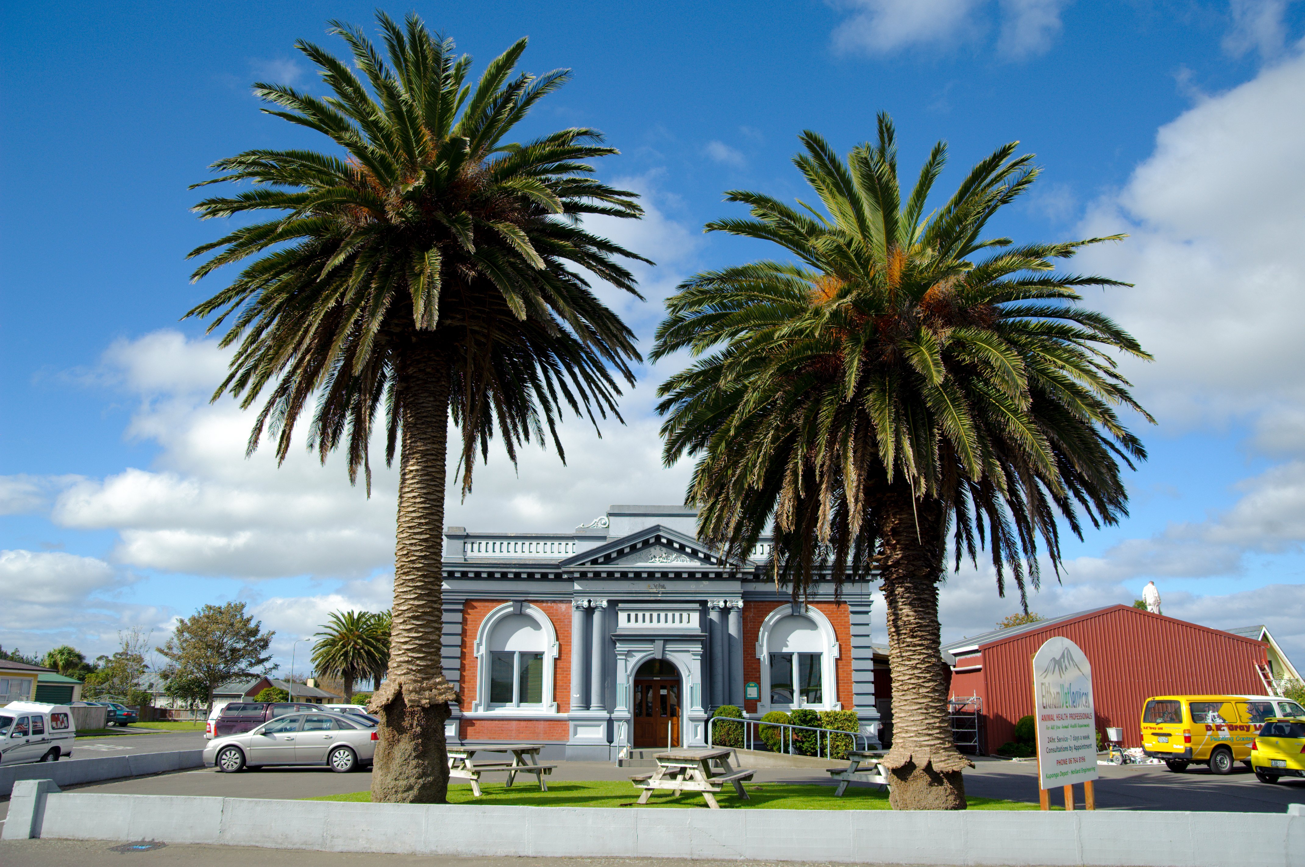
Eltham is a small inland town in South Taranaki, New Zealand, located south of the city of New Plymouth and southeast of the volcanic cone of Mount Taranaki/Egmont. Stratford is north, Kaponga 13 km west, and Hāwera is south. State Highway 3 runs through the town. Eltham is South Taranaki's second largest town. Eltham is known as the cradle of the Taranaki dairy industry (the co-operative system in particular), and for being the one place in New Zealand that manufactured rennet which is important in cheesemaking. It was also the first place to export butter to England. History European settlement began in Eltham in the 1870s, with blocks of densely forested land being taken up mainly to the north of Mountain Road. A profusion of sawmilling companies cleared the district which, when grassed, proved ideal for dairy farming. In 1884, the year Eltham was declared a town district, settlers, mainly from England, arrived there and the town had a population of 25. Eltham was ... [...More Info...] [...Related Items...] OR: [Wikipedia] [Google] [Baidu] |
Mount Taranaki
Mount Taranaki (), also known as Mount Egmont, is a dormant stratovolcano in the Taranaki region on the west coast of New Zealand's North Island. It is the second highest point in the North Island, after Mount Ruapehu. The mountain has a secondary cone, Fanthams Peak ( mi, Panitahi), , on its south side. Name The name ''Taranaki'' comes from the Māori language. The Māori word means mountain peak, and is thought to come from , meaning "shining", a reference to the snow-clad winter nature of the upper slopes. It was also named and by iwi who lived in the region in "ancient times". Captain Cook named it Mount Egmont on 11 January 1770 after John Perceval, 2nd Earl of Egmont, a former First Lord of the Admiralty who had supported the concept of an oceanic search for '' Terra Australis Incognita''. Cook described it as "of a prodigious height and its top cover'd with everlasting snow," surrounded by a "flat country ... which afforded a very good aspect, being clothed with ... [...More Info...] [...Related Items...] OR: [Wikipedia] [Google] [Baidu] |
Waingongoro River
The Waingongoro River is a river of the Taranaki Region of New Zealand's North Island. It flows initially southeast from the slopes of Taranaki/Mount Egmont and passes through the town of Eltham before veering southwest to meet the Tasman Sea five kilometres west of Hawera, at Ohawe Ohawe or Ōhawe is a rural community in South Taranaki, New Zealand. It is located about 9 kilometres west of Hāwera, and south of State Highway 45. Ohawe is at the mouth of the Waingongoro River, where it reaches the South Taranaki Bight. ... Beach. The Normanby Power Station is located on the Waingongoro River at Normanby Road. See also * List of rivers of New Zealand References South Taranaki District Rivers of Taranaki Rivers of New Zealand {{Taranaki-river-stub ... [...More Info...] [...Related Items...] OR: [Wikipedia] [Google] [Baidu] |
Stratford Press
The Stratford Press of Cincinnati was the private press of Elmer Frank Gleason (1882–1965), who hand-crafted non-commercial books for libraries, literary clubs, academic institutions, philanthropists, artists, collectors, patrons, and friends. History The Stratford Press, for commercial purposes, was founded in 1913 in Worcester, Massachusetts, by Thomas F. Johnson (born 1880) and Elmer Frank Gleason for the purpose of producing "high-grade commercial and society printing." Gleason filed for bankruptcy in 1914. After the failed commercial attempt in Worcester, Gleason began building books, privately in Cincinnati under the name, Stratford Press, around 1920, as a hobby – during the arts and Crafts movement, and in particular, the private press movement throughout Britain, Europe, and America. Gleason – lauded as a talented artisan in the craft of book building and design – printed and bound his books by hand. Some of his works have flourished in literary, art, and hist ... [...More Info...] [...Related Items...] OR: [Wikipedia] [Google] [Baidu] |


