|
Lower Rhine Bay
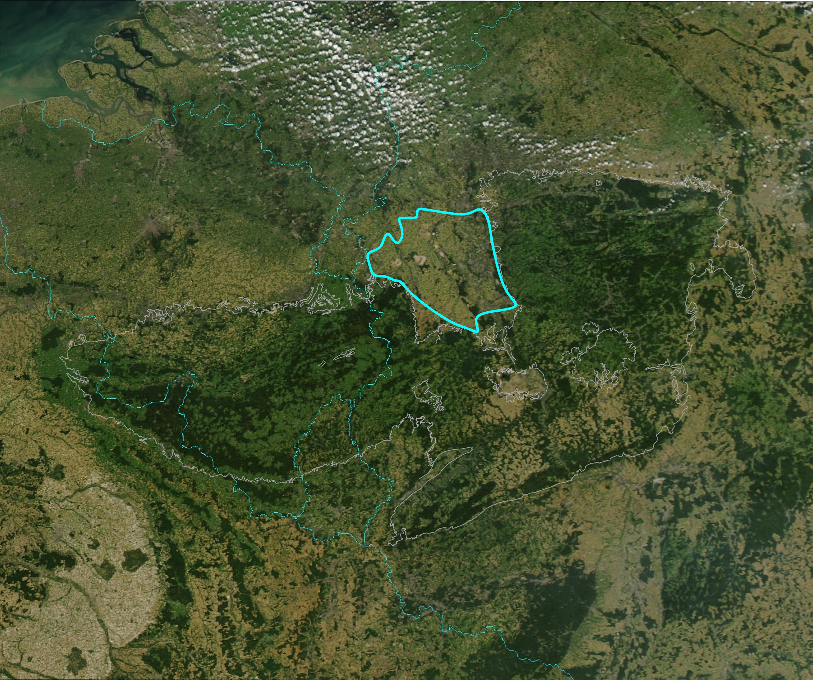
The Lower Rhine Bay (german: Niederrheinische Bucht), sometimes called the Lower Rhine Bight,Luttig, G.W. (ed.), ''General Geology of the Federal Republic of Germany'', Nagel u. Obermiller, 1980, pp. 29 and 44. is a lowland plain in the German state of North Rhine-Westphalia that cuts into the Rhenish Massif. From a natural region perspective it is a major unit group which includes the Cologne Lowland around the city of Cologne as well as the land lying to the west and, in a clearly narrower strip of land, to the east of the central Cologne plain. That said, the term "Cologne Bay" or "Cologne Bight" is occasionally used, ''pars pro toto'', for the entire region. The Lower Rhine Bay covers an area of 3,584.4 km².Meynen, E. and Schmithüsen, J., ''Handbuch der naturräumlichen Gliederung Deutschlands.'' Bundesanstalt für Landeskunde, Remagen/Bad Godesberg, 1953–1962 (9 issues in 8 books, updated map at 1:1,000,000 scale with major units, 1960). Location and boundaries T ... [...More Info...] [...Related Items...] OR: [Wikipedia] [Google] [Baidu] |
Bergisches Land
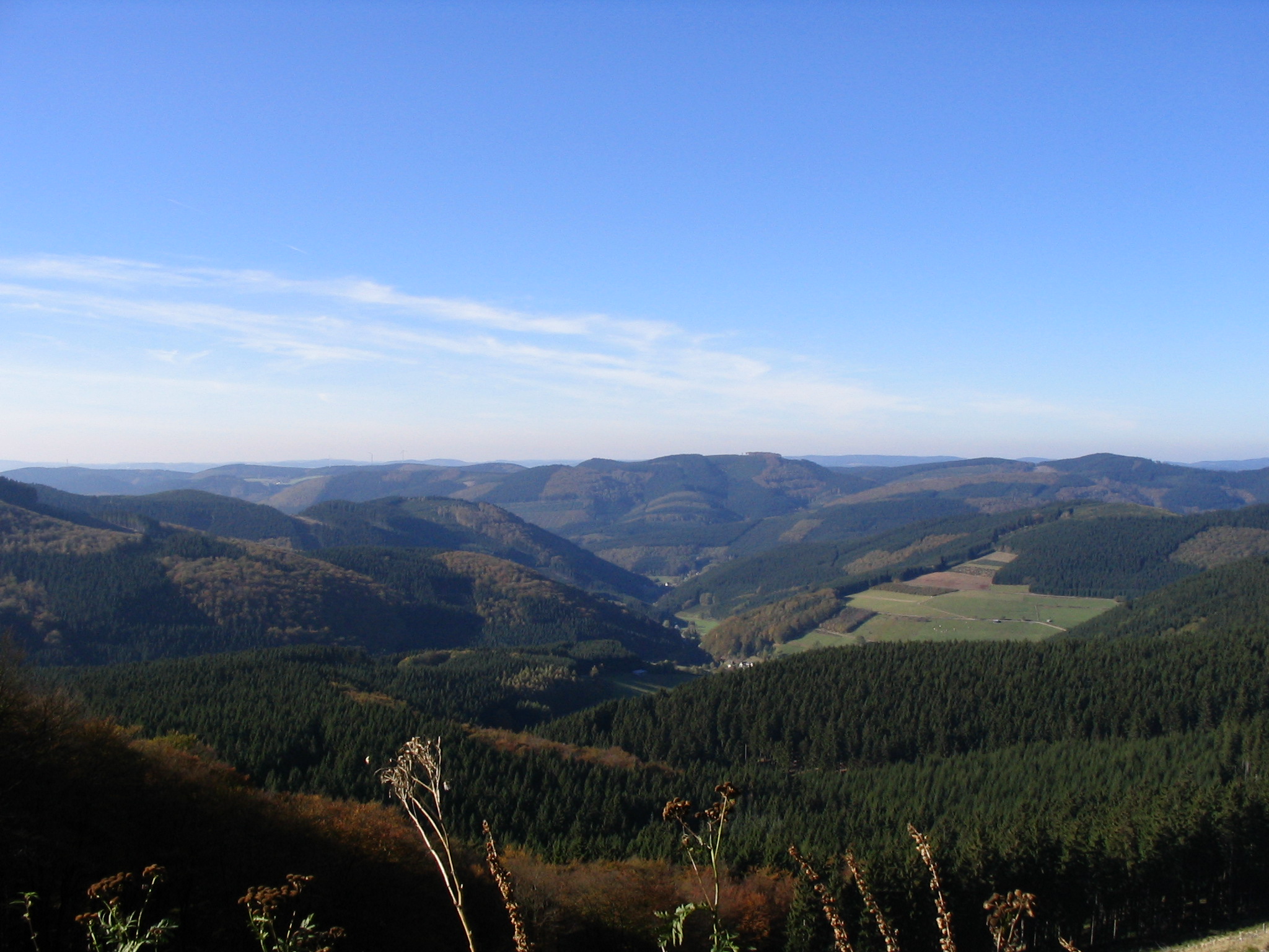
The Bergisches Land (, '' Berg Country'') is a low mountain range region within the state of North Rhine-Westphalia, Germany, east of Rhine river, south of the Ruhr. The landscape is shaped by woods, meadows, rivers and creeks and contains over 20 artificial lakes. Wuppertal is one of the biggest towns and seen as the region's capital, whereas the southern part nowadays has closer economic and socio-cultural ties to Cologne. Wuppertal and the neighbouring cities of Remscheid and Solingen form the Bergisches Städtedreieck. History Bergisches Land used to be territory of the County of Berg, which later became the Duchy of Berg, who gave the region its name. The Duchy was dissolved in 1815 and in 1822 the region became part of the Prussian Rhine Province. Amongst the population today, a sense of belonging to the region Bergisches Land is notable in the hilly northern part, but not so much anymore in the areas near the Cologne Bight, the Ruhr area or the city of Düssel ... [...More Info...] [...Related Items...] OR: [Wikipedia] [Google] [Baidu] |
Meuse
The Meuse ( , , , ; wa, Moûze ) or Maas ( , ; li, Maos or ) is a major European river, rising in France and flowing through Belgium and the Netherlands before draining into the North Sea from the Rhine–Meuse–Scheldt delta. It has a total length of . History From 1301 the upper Meuse roughly marked the western border of the Holy Roman Empire with the Kingdom of France, after Count Henry III of Bar had to receive the western part of the County of Bar (''Barrois mouvant'') as a French fief from the hands of King Philip IV. In 1408, a Burgundian army led by John the Fearless went to the aid of John III against the citizens of Liège, who were in open revolt. After the battle which saw the men from Liège defeated, John ordered the drowning in the Meuse of suspicious burghers and noblemen in Liège. The border remained stable until the annexation of the Three Bishoprics Metz, Toul and Verdun by King Henry II in 1552 and the occupation of the Duchy of Lorraine b ... [...More Info...] [...Related Items...] OR: [Wikipedia] [Google] [Baidu] |
Tectonically
Tectonics (; ) are the processes that control the structure and properties of the Earth's crust and its evolution through time. These include the processes of mountain building, the growth and behavior of the strong, old cores of continents known as cratons, and the ways in which the relatively rigid plates that constitute the Earth's outer shell interact with each other. Tectonics also provide a framework for understanding the earthquake and volcanic belts that directly affect much of the global population. Tectonic studies are important as guides for economic geologists searching for fossil fuels and ore deposits of metallic and nonmetallic resources. An understanding of tectonic principles is essential to geomorphologists to explain erosion patterns and other Earth surface features. Main types of tectonic regime Extensional tectonics Extensional tectonics is associated with the stretching and thinning of the crust or the lithosphere. This type of tectonics is foun ... [...More Info...] [...Related Items...] OR: [Wikipedia] [Google] [Baidu] |
Lower Rhine Plain
The Lower Rhine Plain (German: ''Niederrheinisches Tiefland'') is one of the natural regions of Germany and lies on either side of the Rhine north of the city of Düsseldorf. Geography The Lower Rhine Plain is bordered in the south by the Lower Rhine Bay and Cologne Lowland, in the southeast by the Bergisches Land, to the east and northeast by the Westphalian Basin and in the west by the Netherlands. The Lower Rhine Plain is an extensively terraced landscape. The otherwise level terraces are interrupted by various features like the V-shaped valleys, flood plains, old river courses or the terminal moraine ridges of the Lower Rhine Heights. The height of the terrain is under 100m above NN almost everywhere. Geology The Lower Rhine Plain is the northern half of the geological structure known as the Lower Rhine Bay (''Niederrheinische Bucht''). Its geology was probably a result of deposition in the last 30 million years, which has given rise to sediments and layers ... [...More Info...] [...Related Items...] OR: [Wikipedia] [Google] [Baidu] |
Loess
Loess (, ; from german: Löss ) is a clastic, predominantly silt-sized sediment that is formed by the accumulation of wind-blown dust. Ten percent of Earth's land area is covered by loess or similar deposits. Loess is a periglacial or aeolian (windborne) sediment, defined as an accumulation of 20% or less of clay and a balance of roughly equal parts sand and silt (with a typical grain size from 20 to 50 micrometers), often loosely cemented by calcium carbonate. It is usually homogeneous and highly porous and is traversed by vertical capillaries that permit the sediment to fracture and form vertical bluffs. Properties Loess is homogeneous, porous, friable, pale yellow or buff, slightly coherent, typically non-stratified and often calcareous. Loess grains are angular, with little polishing or rounding, and composed of crystals of quartz, feldspar, mica and other minerals. Loess can be described as a rich, dust-like soil. Loess deposits may become very thick, mo ... [...More Info...] [...Related Items...] OR: [Wikipedia] [Google] [Baidu] |
Eifel
The Eifel (; lb, Äifel, ) is a low mountain range in western Germany and eastern Belgium. It occupies parts of southwestern North Rhine-Westphalia, northwestern Rhineland-Palatinate and the southern area of the German-speaking Community of Belgium. The Eifel is part of the Rhenish Massif; within its northern portions lies the Eifel National Park. Geography Location The Eifel lies between the cities of Aachen to the north, Trier to the south and Koblenz to the east. It descends in the northeast along a line from Aachen via Düren to Bonn into the Lower Rhine Bay. In the east and south it is bounded by the valleys of the Rhine and the Moselle. To the west it transitions in Belgium and Luxembourg into the geologically related Ardennes and the Luxembourg Ösling. In the north it is limited by the Jülich-Zülpicher Börde. Within Germany it lies within the states of Rhineland-Palatinate and North Rhine-Westphalia; in the Benelux the area of Eupen, St. Vith and Luxembourg. ... [...More Info...] [...Related Items...] OR: [Wikipedia] [Google] [Baidu] |
Siebengebirge
The (), occasionally Sieben Mountains or Seven Mountains, are a hill range of the German Central Uplands on the east bank of the Middle Rhine, southeast of Bonn. Description The area, located in the municipalities of Bad Honnef and Königswinter, consists of more than 40 hills. The hills are of ancient volcanic origin and came into being between 28 and 15 million years ago. Much of the territory covered by Sieben Hills belongs to the Sieben Hills Nature Park (''Naturpark Siebengebirge''), which is under environmental protection. The highest peak is the Ölberg at 460 metres above sea level. It is a popular tourist destination for hiking, because of its natural environment. Hills The seven most important hills: * Großer Ölberg (460 m) * Löwenburg (455 m) * Lohrberg (435 m) * Nonnenstromberg (335m) * Petersberg (331 m, Former name: ''Stromberg'') * Wolkenburg (324 m) * Drachenfels (321 m) Other hills: * Himmerich (366 m) * Trenkeberg (430 m) * Weilberg (297 m) * S ... [...More Info...] [...Related Items...] OR: [Wikipedia] [Google] [Baidu] |
Middle Rhine
Between Bingen and Bonn, Germany, the river Rhine flows as the Middle Rhine (german: Mittelrhein) through the Rhine Gorge, a formation created by erosion, which happened at about the same rate as an uplift in the region, leaving the river at about its original level, and the surrounding lands raised. This gorge is quite deep, about from the top of the rocks down to the average water-line. The "Middle Rhine" is one of four sections (High Rhine, Upper Rhine, Middle Rhine, Lower Rhine) of the river between Lake Constance and the North Sea. The upper half of the Middle Rhine (Rhine Gorge) from Bingen (Rhine-kilometer 526) to Koblenz (Rhine-kilometer 593) is a UNESCO World Heritage Site as a striking cultural landscape with more than 40 castles and fortresses from the Middle Ages, unique terraced vineyards, and many wine-villages. The lower half from Koblenz (Rhine-kilometer 593) to Bonn (Rhine-kilometer 655) is famous for the formerly volcanic Siebengebirge with the Drachenfe ... [...More Info...] [...Related Items...] OR: [Wikipedia] [Google] [Baidu] |
Süder Uplands
The Süder Uplands (1997) by Verlag Siedlungsforschung, p. 47, Retrieved 15 May 2014. (german: Süderbergland, sometimes ''Südergebirge'' i.e. Süder Hills), form a major natural region (no. 33 or D38) of the in the German states of and northwestern |
Lowland
Upland and lowland are conditional descriptions of a plain based on elevation above sea level. In studies of the ecology of freshwater rivers, habitats are classified as upland or lowland. Definitions Upland and lowland are portions of plain that are conditionally categorized by their elevation above the sea level. Lowlands are usually no higher than , while uplands are somewhere around to . On unusual occasions, certain lowlands such as the Caspian Depression lie below sea level. Upland habitats are cold, clear and rocky whose rivers are fast-flowing in mountainous areas; lowland habitats are warm with slow-flowing rivers found in relatively flat lowland areas, with water that is frequently colored by sediment and organic matter. These classifications overlap with the geological definitions of "upland" and "lowland". In geology an "upland" is generally considered to be land that is at a higher elevation than the alluvial plain or stream terrace, which are considered to ... [...More Info...] [...Related Items...] OR: [Wikipedia] [Google] [Baidu] |
Handbuch Der Naturräumlichen Gliederung Deutschlands
The ''Handbook of Natural Region Divisions of Germany'' (german: Handbuch der naturräumlichen Gliederung Deutschlands) was a book series resulting from a project by the former German Federal Institute for Regional Studies ('' Bundesanstalt für Landeskunde'') to determine the division of Germany into natural regions. It was published in several books over the period 1953–1962. Around 400 authors, mostly geographers, took part. This natural region division of Germany is still used, with amendments, today. See also * Natural regions of Germany Sources *Emil Meynen, Josef Schmithüsen (editors: ''Handbuch der naturräumlichen Gliederung Deutschlands.'' Bundesanstalt für Landeskunde, Remagen/Bad Godesberg, 1953–1962 (9 issues in 8 books, updated map, 1:1,000,000 with major units, 1960). External links Original 1:200,000 map sheets as jpg and pdf files Handbooks and manuals Natural regions of Germany {{Germany-geo-stub ... [...More Info...] [...Related Items...] OR: [Wikipedia] [Google] [Baidu] |

.jpg)


