|
Light Weight Air Warning Radar
The Light Weight Air Warning Radar, or LW/AW was a portable early warning radar produced in Australia during the Second World War. It was designed by the Council for Scientific and Industrial Research, today's CSIRO, to provide field troops with air attack warning in the northern Australia and New Guinea theatres. From 1940, CSIR had been designing a large system known as Air Warning, Mark I (AW.1) for fixed emplacements, similar in concept to the UK's Chain Home. The first Japanese air attacks on Darwin were carried out before it was in place, and it was some time before this larger unit could be put into action. This led to a December 1941 request for a smaller version that could be held in reserve and then moved into location if the AW system was attacked. Shortly thereafter, field units requested a portable system that could be quickly delivered to forward airfields. Work began at CSIR in the summer of 1942 on a system that would fill both needs. The LW/AW emerged as a system ... [...More Info...] [...Related Items...] OR: [Wikipedia] [Google] [Baidu] |
Early Warning Radar
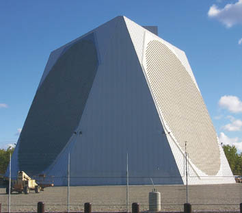
An early-warning radar is any radar system used primarily for the long-range detection of its targets, i.e., allowing defences to be alerted as ''early'' as possible before the intruder reaches its target, giving the air defences the maximum time in which to operate. This contrasts with systems used primarily for tracking or gun laying, which tend to offer shorter ranges but offer much higher accuracy. EW radars tend to share a number of design features that improve their performance in the role. For instance, EW radar typically operates at lower frequencies, and thus longer wavelengths, than other types. This greatly reduces their interaction with rain and snow in the air, and therefore improves their performance in the long-range role where their coverage area will often include precipitation. This also has the side-effect of lowering their optical resolution, but this is not important in this role. Likewise, EW radars often use much lower pulse repetition frequency to maximiz ... [...More Info...] [...Related Items...] OR: [Wikipedia] [Google] [Baidu] |
NSW Railways
The State Rail Authority, a former statutory authority of the Government of New South Wales, operated and maintained railways in the Australian state of New South Wales from July 1980 until December 2003. History The ''Transport Authorities Act 1980'' separated the functions of the Public Transport Commission (formerly responsible for all public transport) and established the State Rail Authority. The State Rail Authority assumed responsibility for trains, while the Urban Transit Authority responsibility for buses and ferries. In July 1982 a new colour scheme developed by Phil Belbin of red, yellow, orange and white was unveiled, which was commonly referred to as the "candy colours". The ''L7'' logo used by the Public Transport Commission was retained, albeit with the dark and light blue replaced with red and orange. Around this time, they also gave playing cards and soap to passengers. Electrification During its tenure the State Rail Authority completed a number of elect ... [...More Info...] [...Related Items...] OR: [Wikipedia] [Google] [Baidu] |
Vacuum Tube
A vacuum tube, electron tube, thermionic valve (British usage), or tube (North America) is a device that controls electric current flow in a high vacuum between electrodes to which an electric voltage, potential difference has been applied. It takes the form of an evacuated tubular envelope of glass or sometimes metal containing electrodes connected to external connection pins. The type known as a thermionic tube or thermionic valve utilizes thermionic emission of electrons from a hot cathode for fundamental Electronics, electronic functions such as signal amplifier, amplification and current Rectifier, rectification. Non-thermionic types such as vacuum phototubes achieve electron emission through the photoelectric effect, and are used for such purposes as the detection of light and measurement of its intensity. In both types the electrons are accelerated from the cathode to the anode by the electric field in the tube. The first, and simplest, vacuum tube, the diode or Flem ... [...More Info...] [...Related Items...] OR: [Wikipedia] [Google] [Baidu] |
Micropup
In electronics, a micropup is a style of triode vacuum tube (valve) developed by the British General Electric Company (GEC) during World War II for use at very high frequencies such as those used in radar. The first micropup, the VT90, was introduced in 1939 and capable of operating at wavelengths as low as 25 cm, although at low power. The VT90 was much more widely used in a broad variety of radars operating in the 1.5 m band, around 200 MHz, which remained in widespread use for the rest of the war. Improved versions like the NT99 of 1941 allowed operations at 50 cm, or 600 MHz, leading to a series of new radar sets. These saw less use as the introduction of production-quality cavity magnetrons the same year led to microwave-frequency radars that outperformed the best micropups. Description Key to the micropup design is the development of methods to seal glass directly to metal, allowing the construction of mixed-material vacuum chambers. Previously, tubes ... [...More Info...] [...Related Items...] OR: [Wikipedia] [Google] [Baidu] |
Manly Beach
Manly Beach is a beach situated among the Northern Beaches of Sydney, Australia. From north to south, the three main sections are Queenscliff, North Steyne and South Steyne. Etymology The beach was named by Captain Arthur Phillip for the indigenous people living there. He wrote, "Their confidence and manly behaviour made me give the name of Manly Cove to this place". Commercial area Within walking distance of Manly Beach along the oceanway is Fairy Bower and Shelly Beach. There are shops, restaurants, night clubs, and bars in town. Patrol Northern Beaches Council lifeguards operate a year-round service at South Steyne, and operate from October to April at North Steyne and Queenscliff. Lifesavers from Manly Life Saving Club also patrol on weekends and public holidays between October and May. Access Travelling to Manly from Sydney's main ferry terminal, Circular Quay, takes 22 to 30 minutes by ferry. The Corso, a pedestrian plaza and one of Manly's main streets for shopp ... [...More Info...] [...Related Items...] OR: [Wikipedia] [Google] [Baidu] |
Thomas Blamey
Field marshal (Australia), Field Marshal Sir Thomas Albert Blamey (24 January 1884 – 27 May 1951) was an Australian general of the First World War, First and Second World Wars. He is the only Australian to attain the rank of field marshal. Blamey joined the Australian Army as a regular soldier in 1906, and attended the Pakistan Command and Staff College, Staff College at Quetta. During the First World War, he participated in the landing at Anzac Cove on 25 April 1915, and served as a staff officer in the Gallipoli campaign, where he was mentioned in despatches for a daring raid behind enemy lines. He later served on the Western Front (World War I), Western Front, where he distinguished himself in the planning for the Battle of Pozières. He rose to the rank of brigadier general, and served as chief of staff of the Australian Corps under Lieutenant general (Australia), Lieutenant General Sir John Monash, who credited him as a factor in the Corps' success in the Battle of Hamel, ... [...More Info...] [...Related Items...] OR: [Wikipedia] [Google] [Baidu] |
Buna Airfield
Buna Airfield was an aerodrome located near Buna, Papua New Guinea. Built as an emergency landing ground, it was extended during the Second World War by the Imperial Japanese. A new runway was under construction until both runways were neutralized by Allied air bombing in late 1942. American bombing attacks Buna was first subjected to American fury during the early days of 1942. A few half-hearted bombing raids by the disillusioned & discouraged Fifth Air Force's A-20, B-17, and B-25 bombers was about the worst Buna suffered. Then, in July 1942, General George C. Kenney assumed command of what was by this time, little more than a motley collection of exhausted men and exhausted planes. Japanese units based at Buna Airfield *2nd Kōkūtai A ''kōkūtai'' () was a military aviation unit in the Imperial Japanese Navy Air Service (IJNAS), similar to the Group (military aviation unit), air groups in other air arms and services of the time. Some comparable units included ''wing'' i ... [...More Info...] [...Related Items...] OR: [Wikipedia] [Google] [Baidu] |
Girua Airport
Girua Airport is an airport serving Popondetta, a city in the Oro (or Northern) province in Papua New Guinea. History Girua Airport is located near Dobodura, to the north-east of the Embi Lakes, north-east of Inonda. To the south is Mt. Lamington, a volcano that dominates the skyline. The airport was built during World War II as part of the Dobodura Airfield Complex during late 1942 and early 1943. During the war, the airfield had several names, including No. 7, West 7, or Horanda No. 7 Airstrip or West 7. It was also known as Kenney Strip, in honor of Fifth Air Force Commander General George Kenney. The main Dobodura complex had eleven airstrips, most interconnected for taxiing purposes. At the height of the Battle of Buna-Gona supplies began landing at the airfields including artillery spotting planes, a 105mm and five Bren Gun Carriers used to assault Cape Endaiadere, After the battle, Dobodura was developed into a major airbase, with storage and repair facilities, ... [...More Info...] [...Related Items...] OR: [Wikipedia] [Google] [Baidu] |
Owen Stanley Range
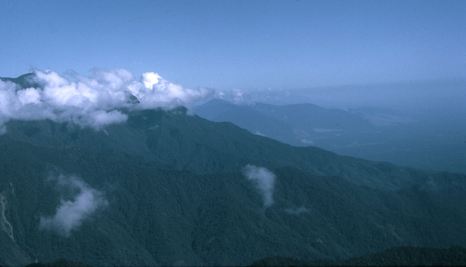
The Owen Stanley Range is the south-eastern part of the central mountain-chain in Papua New Guinea. Its highest point is Mount Victoria at , while its most prominent peak is Mount Suckling. History Owen Stanley Range was seen in 1849 by Captain Owen Stanley about the HMS ''Rattlesnake'' while surveying the south coast of Papua and named after him, although he saw them only from his ship. The eastern extremity of the range is Mount Victoria, which was climbed by Sir William MacGregor in 1888, and it extends as far west as Mount Thynne and Lilley. But the name is generally used to denote the whole of the chain of the Papuan Peninsula, from Mount Chapman to the south-eastern end of the island, and to include Mount Albert Edward which is really separated from it by the Wharton Chain. Geography The range is flanked by broken and difficult country, particularly on the south-western side. There are few practicable passes, the easiest being the famous Kokoda Track which cros ... [...More Info...] [...Related Items...] OR: [Wikipedia] [Google] [Baidu] |
Port Moresby
(; Tok Pisin: ''Pot Mosbi''), also referred to as Pom City or simply Moresby, is the capital and largest city of Papua New Guinea. It is one of the largest cities in the southwestern Pacific (along with Jayapura) outside of Australia and New Zealand. It is located on the shores of the Gulf of Papua, on the south-western coast of the Papuan Peninsula of the island of New Guinea. The city emerged as a trade centre in the second half of the 19th century. During World War II, it was a prime objective for conquest by the Japan during World War II, Imperial Japanese forces during 1942–43 as a staging point and air base to cut off Australia from Southeast Asia and the Americas. Due to its population and outsized influence compared to other cities in Papua New Guinea, Port Moresby may be regarded as a primate city. As of the 2011 census, Port Moresby had 364,145 inhabitants. An unofficial 2020 estimate gives the population as 383,000. The place where the city was founded has bee ... [...More Info...] [...Related Items...] OR: [Wikipedia] [Google] [Baidu] |
Tufi Airport
Tufi Airport is an airport in Tufi, Papua New Guinea built in the 1960s by the Australian Army. It consists of a single unpaved runway along a 059-239 degree axis. There is no control tower and refueling is not available. Air Niugini flights are typically scheduled on Monday (POM-PNP-TFI-POM) and Friday (POM-TFI-PNP-POM). Tropic Air also schedules irregular cargo and passenger charter flights. Airlines and destinations References External links * Airports in Papua New Guinea Oro Province {{PapuaNewGuinea-struct-stub ... [...More Info...] [...Related Items...] OR: [Wikipedia] [Google] [Baidu] |
Papua New Guinea
Papua New Guinea, officially the Independent State of Papua New Guinea, is an island country in Oceania that comprises the eastern half of the island of New Guinea and offshore islands in Melanesia, a region of the southwestern Pacific Ocean north of Australia. It has Indonesia–Papua New Guinea border, a land border with Indonesia to the west and neighbours Australia to the south and the Solomon Islands to the east. Its capital, on its southern coast, is Port Moresby. The country is the world's third largest list of island countries, island country, with an area of . The nation was split in the 1880s between German New Guinea in the North and the Territory of Papua, British Territory of Papua in the South, the latter of which was ceded to Australia in 1902. All of present-day Papua New Guinea came under Australian control following World War I, with the legally distinct Territory of New Guinea being established out of the former German colony as a League of Nations mandate. T ... [...More Info...] [...Related Items...] OR: [Wikipedia] [Google] [Baidu] |


