|
Kollafjörður
The fjords of Iceland, listed in a clockwise direction round the island from the SW to the east. There are no important fjords along the south coast: most of the inlets there are lagoons. Western fjords * Faxaflói ** Stakksfjörður ** Hafnarfjörður ** Skerjafjörður ** Kollafjörður ** Hvalfjörður ** Borgarfjörður ** Haffjörður *Breiðafjörður ** Fjords on northern Snæfellsnes and in Dalasýsla ("Dalir"): *** Grundarfjörður *** Kolgrafafjörður *** Hraunsfjörður *** Vigrafjörður *** Álftafjörður *** Hvammsfjörður ** Fjords in Barðaströnd: *** Gilsfjörður *** Króksfjörður *** Berufjörður *** Þorskafjörður **** Djúpifjörður **** Gufufjörður *** Kollafjörður *** Kvígindisfjörður *** Skálmarfjörður **** Vattarfjörður *** Kerlingarfjörður **** Mjóifjörður *** Kjálkafjörður *** Vatnsfjörður Westfjords * Patreksfjörður * Tálknafjörður * Arnarfjörður ** Suðurfirðir *** Fossfjörður *** Reykjarfjörður *** Tr ... [...More Info...] [...Related Items...] OR: [Wikipedia] [Google] [Baidu] |
Faxaflói
Faxaflói (), sometimes Faxa Bay, Faxe Bay or Faxi Bay,Thorstein Thorsteinsson. 1930. ''Iceland, 1930: A Handbook Published on the Fortieth Anniversary of Landsbanki Íslands (National Bank of Iceland)''. Reykjavík: Ríkisprentsmidjan Gutenberg. is a bay in southwest Iceland, between the peninsulas of Snæfellsnes and Reykjanes. Name The name ''Faxaflói'' means 'Faxi's Bay' or 'Faxe's Bay'. The first part, ''Faxa'', is the genitive of the name ''Faxi'' or ''Faxe'', referring to a man on one of the first Norse boat trips to the island. Geography The capital of the island, Reykjavík, is situated on its southern shore within the minor fjord Kollafjörður. From Reykjavik it is possible to see the peninsula of Akranes in the northeast and even the Snæfellsjökull at a distance of about . This bay has few islands and the ones it does have are close to land, in particular contrast to the bay directly north of it, Breiðafjörður, which has the most islands of any bay in Iceland. ... [...More Info...] [...Related Items...] OR: [Wikipedia] [Google] [Baidu] |
Ísafjörður
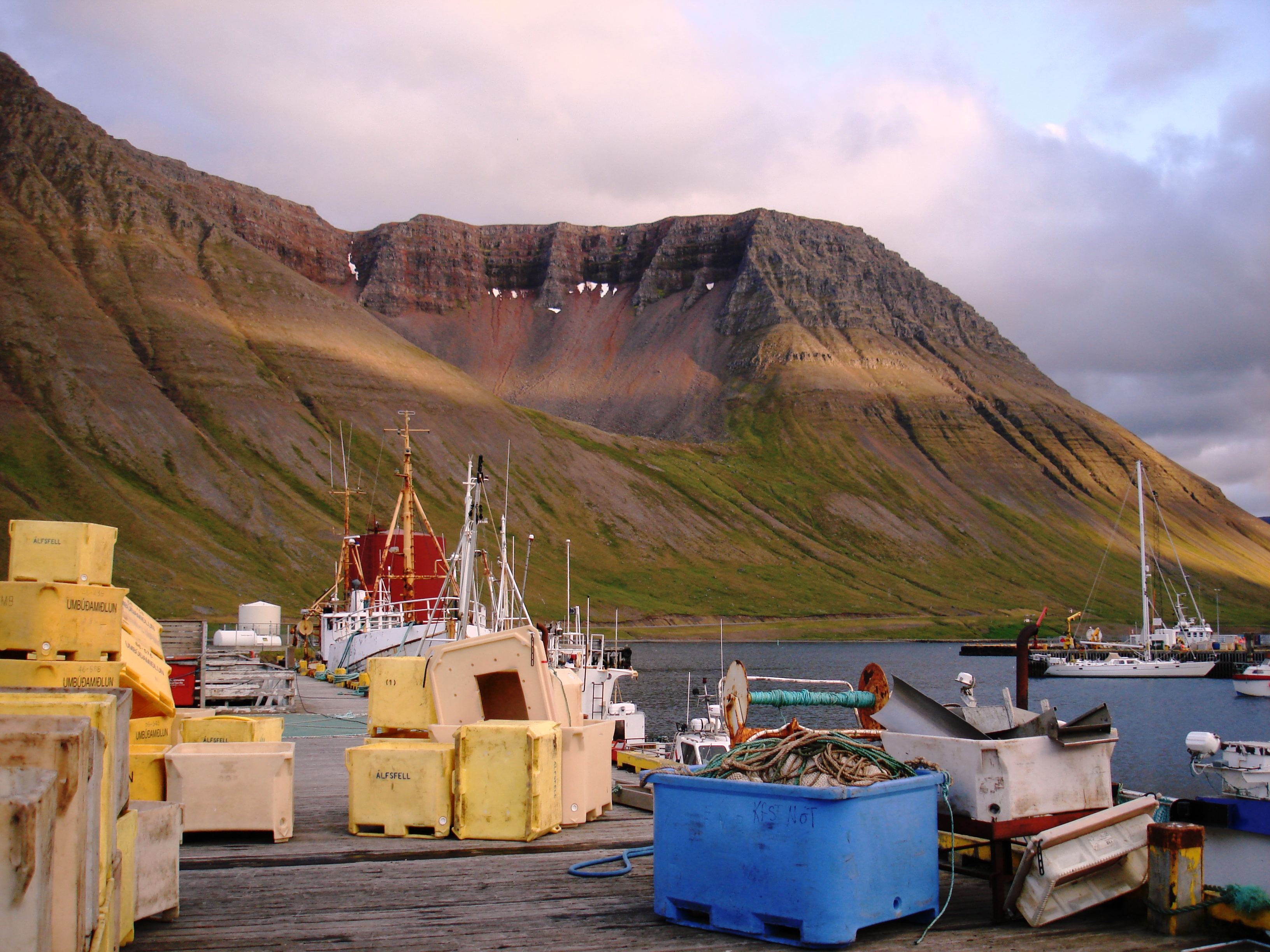
Ísafjörður (pronounced , meaning ''ice fjord'', literally ''fjord of ices'') is a town in the northwest of Iceland. The oldest part of Ísafjörður with the town centre is located on a spit of sand, or ''eyri'', in Skutulsfjörður, a fjord which meets the waters of the larger fjord Ísafjarðardjúp. With a population of about 2,600, Ísafjörður is the largest settlement in the peninsula of Vestfirðir (Westfjords) and the administration centre of the Ísafjarðarbær municipality, which includes—besides Ísafjörður—the nearby villages of Hnífsdalur, Flateyri, Suðureyri, and Þingeyri. History According to the Landnámabók (the book of settlement), Skutulsfjörður was first settled by Helgi Magri Hrólfsson in the 9th century. In the 16th century, the town grew as it became a trading post for foreign merchants. Witch trials were common around the same time throughout the Westfjords, and many people were banished to the nearby peninsula of Hornstrandir, now a nat ... [...More Info...] [...Related Items...] OR: [Wikipedia] [Google] [Baidu] |
Bakkafjörður
Bakkafjörður () is a small fishing village in North-East Iceland, located in a fjord with the same name. The village has 72 inhabitants and is part of the regional service center of Langanesbyggð district in Northeastern Region (Iceland), Northeastern Region. History Hróðgeir hvíti Hrappsson was the first to occupy Sandvík. He lived near Skeggjastaðir and Sandvík, which is now called Bakkafjörður but Sandvíkurheiði (between Bakkafjörður and Vopnafjörður), still bears the ancient name. The largest farm at Sandvík was likely Höfn. Built in the 1800s somewhere in modern day Bakkafjördur. Later on, more houses were built on Hafnartangi. Most of these original houses were demolished except for one. ''Halldórsshús'' was built in 1900. It was owned by Halldór, who ran his shop until his death in 1920. His trading house is still stands on the tang and is often referred to as the merchant's house or Halldórshús. In Höfn, the port facilities were poor, des ... [...More Info...] [...Related Items...] OR: [Wikipedia] [Google] [Baidu] |
Bakkaflói
Bakkaflói () is a bay in the northeastern region of Iceland. It is north of Bakkafjordur and southeast of Langanes Langanes () is a peninsula in northeast Iceland. The name literally means "long peninsula". It is long from southwest to northeast, ending in a thin strip of land called Fontur (regionally also ) where there is also a suggestive lighthouse calle .... References Bays of Iceland {{iceland-fjord-stub ... [...More Info...] [...Related Items...] OR: [Wikipedia] [Google] [Baidu] |
Þistilfjörður
Þistilfjörður (; sometimes anglicised as Thistilfjördur) is a bay in northeast Iceland, between the Rifstangi and Langanes peninsulas, near the town of Þórshöfn (Thorshofn). The name also refers to the region immediately to the southwest of the bay, roughly corresponding to Svalbarðshreppur municipality. The fjord is named after the settler Ketil þistill ("thistle") but the ''Landnámabók'' does not say much about him and does not mention from where in Norway he came. References Bays of Iceland {{iceland-fjord-stub ... [...More Info...] [...Related Items...] OR: [Wikipedia] [Google] [Baidu] |
Öxarfjörður
Öxarfjörður () is a broad fjord in northeastern Iceland, situated between the Tjörnes and Melrakkaslétta headlands. Geography Öxarfjörður is encircled by mountain ranges to the west and east, and the Gjástykki lava fields and an area with sand deposited by the glacial river Jökulsá á Fjöllum in the south. The only village in the area is Kópasker with about 130 inhabitants. The Mid-Atlantic Ridge runs through the western part of the fjord before going underwater again. Öxarfjörður went deeper inland in earlier geological times but the glacial river Jökulsá deposited sands from the highlands on a triangular area of about 300 km2 called Sandur . Sandur is still trenched by the river delta, delta of Jökulsá which is constantly changing its riverbed. There are two big lakes on Sandur, Vikingavatn and Skjálftavatn , the latter one formed by an earthquake in 1976, over the course of which some houses in the area were destroyed. Economy The economy of the ... [...More Info...] [...Related Items...] OR: [Wikipedia] [Google] [Baidu] |
Skjálfandi
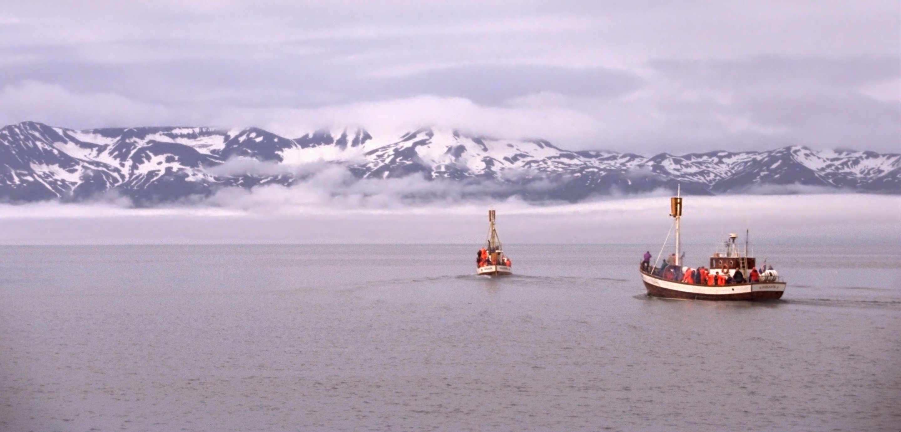
Skjálfandi (; also known as Skjálfandaflói ) is a bay in northern Iceland, with some of the characteristics of a fjord. The Icelandic word ''Skjálfandi'' literally translates to ''trembling'' which may refer to earthquakes in the area. The bay, originally created by glacial activity, has two major rivers flowing into it: Skjálfandafljót, which is a glacier river, and Laxá, which is a freshwater river. The river Laxá ("Salmon River") is famous for its salmon and part of the river is protected by the Ramsar Convention. The only town in Skjálfandi Bay is Húsavík, facing the snow-covered Víknafjöll and Kinnarfjöll mountain ranges on the other side of the bay. The highest point reaches around . The bay is known for its many different whale, dolphin and bird species. There are two islands in Skjálfandi. The larger one is Flatey (''flat island''). It is situated close to the opposite side of the bay from Húsavík. There is a village on the island, no longer ... [...More Info...] [...Related Items...] OR: [Wikipedia] [Google] [Baidu] |
Eyjafjörður
Eyjafjörður (, ''Island Fjord'') is one of the longest fjords in Iceland. It is located in the central north of the country. Situated by the fjord is the country's fourth most populous municipality, Akureyri. Physical geography The fjord is long and narrow and measures 60 km from its head to its mouth. Its greatest width is 15 km between Ólafsfjörður and Gjögurtá at the fjord's mouth, but for the greater part of its length it is mostly between 5–10 km wide. The fjord is surrounded by hills and mountains on both sides; the mountains are taller on the west side, in the mountain range of the Tröllaskagi peninsula. In the outer part of the fjord there are no lowlands along the coast as the steep hills roll directly into the sea. Further south in the fjord there are strips of lowland along both coasts; these are wider on the west side. Several valleys lead from Eyjafjörður: most of them to the west, where the two most significant are Hörgárdalur and ... [...More Info...] [...Related Items...] OR: [Wikipedia] [Google] [Baidu] |
Ólafsfjörður
Ólafsfjörður () is a town in the northeast of Iceland located at the mouth of the fjord Eyjafjörður. The town is connected to Dalvík on Eyjafjörður by the 3.5 km one-lane Múli tunnel (the ''Múlagöng'') and to Siglufjörður by the 11 km Héðinsfjarðargöng, Héðinsfjörður Tunnels, opened in 2010. Fishing is the main industry in the town; several fishing trawlers, trawlers make their home in the town's harbor. The municipalities of Ólafsfjörður and Siglufjörður merged in 2006 to form the municipality of Fjallabyggð, which literally means ''Mountain Settlement''. History The town grew around the herring industry that was very strong in the 1940s and 1950s, but the herring are gone now. Ólafsfjörður attained municipal status (''kaupstaðurréttindi'') on 31 October 1944 . The number of inhabitants amounted to 192 in 1910, to 336 in 1920, to 559 in 1930, to 736 in 1940, to 947 in 1950, to 905 in 1960, to 1.086 in 1970 and to 1.181 in 1979. In 1989 ... [...More Info...] [...Related Items...] OR: [Wikipedia] [Google] [Baidu] |
Siglufjörður
Siglufjörður () is a small fishing town in a narrow fjord with the same name on the northern coast of Iceland. The population in 2011 was 1,206; the town has been shrinking in size since the 1950s when the town reached its peak of 3,000 inhabitants. The municipalities of Ólafsfjörður and Siglufjörður, connected since 2010 by the Héðinsfjarðargöng, Héðinsfjörður Tunnels, merged in 2006 to form a municipality called Fjallabyggð, which literally means ''Mountain Settlement''. Siglufjörður is the site of The Herring Era Museum, a maritime museum which opened in 1994. History The town grew up around the herring industry that was very strong in the 1940s and 1950s. The first Icelandic Municipal Savings Bank was founded in Siglufjörður in 1873, and on 22 October 1918 Siglufjörður attained municipal status () with the rights and privileges of a town. The number of inhabitants amounted to 146 in 1901 and to 415 in 1910, to 1,159 in 1920, to 2,022 in 1930, to 2,884 ... [...More Info...] [...Related Items...] OR: [Wikipedia] [Google] [Baidu] |
Skagafjörður
Skagafjörður () is a deep fjord and its valley in northern Iceland. Location Skagafjörður, the fjord, is about 40 km long and 15 km wide, situated between Tröllaskagi to the east and the Skagi, Skagi Peninsula to the west. There are two municipalities in the area, Skagafjörður Municipality (approx. 4140 inhabitants) and Akrahreppur, Akrahreppur Municipality (approx. 210 inhabitants). This is one of Iceland's most prosperous agricultural regions, with widespread dairy and sheep farming in addition to the horse breeding for which the district is famed. Skagafjörður is the only county in Iceland where horses outnumber people. It is a centre for agriculture, and some fisheries are also based in the settlements of Sauðárkrókur and Hofsós. The people living in Skagafjörður have a reputation for choir singing, horsemanship, and gatherings. There are three islands in the bay: Málmey, Drangey and Lundey, Skagafjörður, Lundey (Puffin Island). The bay is l ... [...More Info...] [...Related Items...] OR: [Wikipedia] [Google] [Baidu] |


