|
Kaimanawa Forest Park
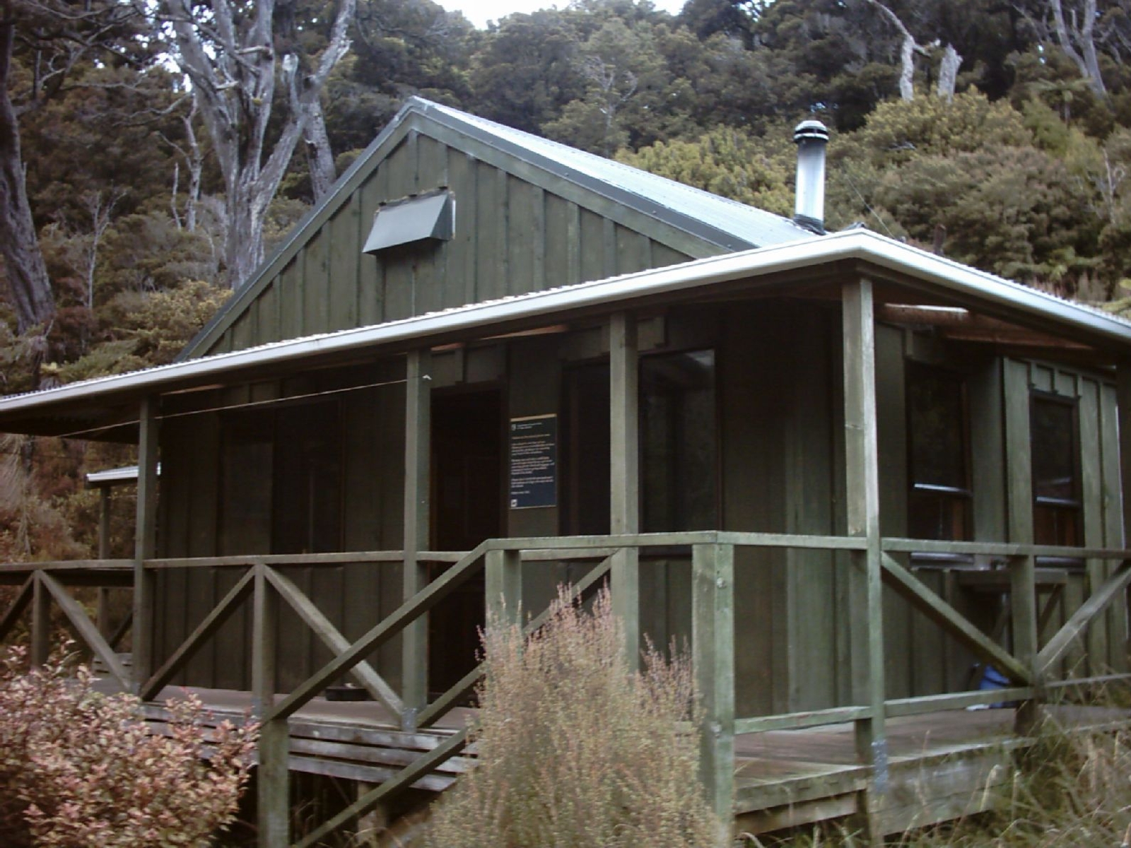
Kaimanawa Forest Park is a protected area south of Lake Taupō and east of Mount Tongariro in the Taupō Volcanic Zone. It is situated in the Rangitikei District and Manawatū-Whanganui Region of New Zealand's North Island The North Island, also officially named Te Ika-a-Māui, is one of the two main islands of New Zealand, separated from the larger but much less populous South Island by the Cook Strait. The island's area is , making it the world's 14th-largest .... The park is managed by the New Zealand Department of Conservation. Geography The park covers . History The park was established in 1969. References Forest parks of New Zealand Protected areas of Manawatū-Whanganui Rangitikei District 1969 establishments in New Zealand Protected areas established in 1969 {{ManawatuWhanganui-geo-stub ... [...More Info...] [...Related Items...] OR: [Wikipedia] [Google] [Baidu] |
New Zealand
New Zealand ( mi, Aotearoa ) is an island country in the southwestern Pacific Ocean. It consists of two main landmasses—the North Island () and the South Island ()—and over 700 List of islands of New Zealand, smaller islands. It is the List of island countries, sixth-largest island country by area, covering . New Zealand is about east of Australia across the Tasman Sea and south of the islands of New Caledonia, Fiji, and Tonga. The country's varied topography and sharp mountain peaks, including the Southern Alps, owe much to tectonic uplift and volcanic eruptions. New Zealand's Capital of New Zealand, capital city is Wellington, and its most populous city is Auckland. The islands of New Zealand were the last large habitable land to be settled by humans. Between about 1280 and 1350, Polynesians began to settle in the islands and then developed a distinctive Māori culture. In 1642, the Dutch explorer Abel Tasman became the first European to sight and record New Zealand. ... [...More Info...] [...Related Items...] OR: [Wikipedia] [Google] [Baidu] |
New Zealand Department Of Conservation
The Department of Conservation (DOC; Māori: ''Te Papa Atawhai'') is the public service department of New Zealand charged with the conservation of New Zealand's natural and historical heritage. An advisory body, the New Zealand Conservation Authority (NZCA) is provided to advise DOC and its ministers. In addition there are 15 conservation boards for different areas around the country that provide for interaction between DOC and the public. Function Overview The department was formed on 1 April 1987, as one of several reforms of the public service, when the '' Conservation Act 1987'' was passed to integrate some functions of the Department of Lands and Survey, the Forest Service and the Wildlife Service. This act also set out the majority of the department's responsibilities and roles. As a consequence of Conservation Act all Crown land in New Zealand designated for conservation and protection became managed by the Department of Conservation. This is about 30% of New ... [...More Info...] [...Related Items...] OR: [Wikipedia] [Google] [Baidu] |
Protected Area
Protected areas or conservation areas are locations which receive protection because of their recognized natural, ecological or cultural values. There are several kinds of protected areas, which vary by level of protection depending on the enabling laws of each country or the regulations of the international organizations involved. Generally speaking though, protected areas are understood to be those in which human presence or at least the exploitation of natural resources (e.g. firewood, non-timber forest products, water, ...) is limited. The term "protected area" also includes marine protected areas, the boundaries of which will include some area of ocean, and transboundary protected areas that overlap multiple countries which remove the borders inside the area for conservation and economic purposes. There are over 161,000 protected areas in the world (as of October 2010) with more added daily, representing between 10 and 15 percent of the world's land surface area. As of ... [...More Info...] [...Related Items...] OR: [Wikipedia] [Google] [Baidu] |
Lake Taupō
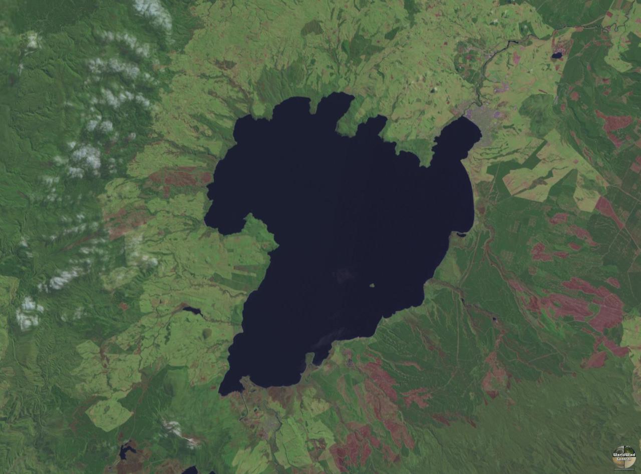
Lake Taupō (also spelled Taupo; mi, Taupō-nui-a-Tia or ) is a large crater lake in New Zealand's North Island, located in the caldera of the Taupō Volcano. The lake is the namesake of the town of Taupō, which sits on a bay in the lake's northeastern shore. With a surface area of , it is the largest lake by surface area in New Zealand, and the second largest freshwater lake by surface area in geopolitical Oceania after Lake Murray in Papua New Guinea. Motutaiko Island lies in the southeastern area of the lake. Lake Taupō has a perimeter of approximately and a maximum depth of . It is drained by the Waikato River (New Zealand's longest river), and its main tributaries are the Waitahanui River, the Tongariro River, and the Tauranga Taupō River. It is a noted trout fishery with stocks of introduced brown and rainbow trout. The level of the lake is controlled by Mercury Energy, the owner of the eight hydroelectric dams on the Waikato River downstream of Lake Taupō, u ... [...More Info...] [...Related Items...] OR: [Wikipedia] [Google] [Baidu] |
Mount Tongariro
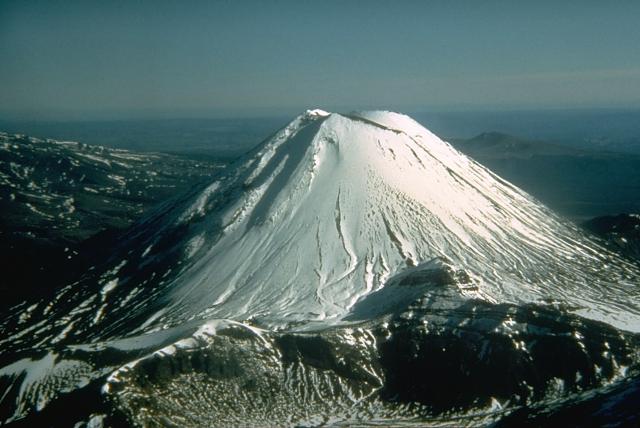
Mount Tongariro (; ) is a compound volcano in the Taupō Volcanic Zone of the North Island of New Zealand. It is located to the southwest of Lake Taupō, and is the northernmost of the three active volcanoes that dominate the landscape of the central North Island. Geology Mount Tongariro is part of the Tongariro volcanic centre, which consists of four massifs made of andesite: Tongariro, Kakaramea-Tihia Massif, Pihanga, and Ruapehu at the southern end of the North Island Volcanic Plateau. The andesitic eruptions formed Tongariro, a steep stratovolcano, reaching a height of . Tongariro is composed of layers of both lava and tephra and the eruptions that built the current stratovolcano commenced about 275,000 years ago. Tongariro consists of at least 12 cones. Ngāuruhoe, while often regarded as a separate mountain, is geologically a cone of Tongariro. It is also the most active vent, having erupted more than 70 times since 1839, the last episode in 1973 to 1975. Activit ... [...More Info...] [...Related Items...] OR: [Wikipedia] [Google] [Baidu] |
Taupō Volcanic Zone
The Taupō Volcanic Zone (TVZ) is a volcanic area in the North Island of New Zealand that has been active for the past two million years and is still highly active. Mount Ruapehu marks its south-western end and the zone runs north-eastward through the Taupō and Rotorua areas and offshore into the Bay of Plenty. It is part of the larger Central Volcanic Region that extends further westward through the western Bay of Plenty to the eastern side of the Coromandel Peninsula and has been active for four million years. At Taupō the rift volcanic zone is widening east–west at the rate of about 8 mm per year while at Mount Ruapehu it is only 2–4 mm per year but this increases at the north eastern end at the Bay of Plenty coast to 10–15 mm per year. It is named after Lake Taupō, the flooded caldera of the largest volcano in the zone, the Taupō Volcano and contains a large central volcanic plateau as well as other landforms associated with its containing tecton ... [...More Info...] [...Related Items...] OR: [Wikipedia] [Google] [Baidu] |
Rangitikei District
The Rangitikei District is a territorial authority district located primarily in the Manawatū-Whanganui region in the North Island of New Zealand, although a small part, the town of Ngamatea (13.63% by land area), lies in the Hawke's Bay Region. It is located in the southwest of the island, and follows the catchment area of the Rangitīkei River. The Rangitikei District Council is the local government authority for this district. It is composed of a mayor, currently Andy Watson, and 11 councillors, one of whom is the deputy mayor. History The Rangitikei District was established in 1989 as part of the 1989 local government reforms. Government and politics Local government The current Mayor of Rangitikei is Andy Watson, elected in 2013 and re-elected in 2016 and 2019. Watson was first elected in 2013 by obtaining 1,983 votes (41.5%) of the vote and a majority of 486 (10.2%) beating incumbent mayor Chalky Leary. Rangitikei District Council is served by eleven councillo ... [...More Info...] [...Related Items...] OR: [Wikipedia] [Google] [Baidu] |
Manawatū-Whanganui Region
Manawatū-Whanganui (; spelled Manawatu-Wanganui prior to 2019) is a region in the lower half of the North Island of New Zealand, whose main population centres are the cities of Palmerston North and Whanganui. It is administered by the Manawatū-Whanganui Regional Council, which operates under the name Horizons Regional Council. Name In the Māori language, the name is a compound word that originates from an old Māori waiata (song). The waiata describes the search by an early ancestor, Haunui-a-Nanaia, for his wife, during which he named various waterways in the district, and says that his heart () settled or momentarily stopped () when he saw the Manawatu River. ''Whanga nui'' is a phrase meaning "big bay" or "big harbour". The first name of the European settlement at Whanganui was ''Petre'' (pronounced Peter), after Lord Petre, an officer of the New Zealand Company, but the name was never popular and was officially changed to "Wanganui" in 1854. In the local dialect, ... [...More Info...] [...Related Items...] OR: [Wikipedia] [Google] [Baidu] |
North Island
The North Island, also officially named Te Ika-a-Māui, is one of the two main islands of New Zealand, separated from the larger but much less populous South Island by the Cook Strait. The island's area is , making it the world's 14th-largest island. The world's 28th-most-populous island, Te Ika-a-Māui has a population of accounting for approximately % of the total residents of New Zealand. Twelve main urban areas (half of them officially cities) are in the North Island. From north to south, they are Whangārei, Auckland, Hamilton, Tauranga, Rotorua, Gisborne, New Plymouth, Napier, Hastings, Whanganui, Palmerston North, and New Zealand's capital city Wellington, which is located at the south-west tip of the island. Naming and usage Although the island has been known as the North Island for many years, in 2009 the New Zealand Geographic Board found that, along with the South Island, the North Island had no official name. After a public consultation, the board offi ... [...More Info...] [...Related Items...] OR: [Wikipedia] [Google] [Baidu] |
Department Of Conservation (New Zealand)
The Department of Conservation (DOC; Māori: ''Te Papa Atawhai'') is the public service department of New Zealand charged with the conservation of New Zealand's natural and historical heritage. An advisory body, the New Zealand Conservation Authority (NZCA) is provided to advise DOC and its ministers. In addition there are 15 conservation boards for different areas around the country that provide for interaction between DOC and the public. Function Overview The department was formed on 1 April 1987, as one of several reforms of the public service, when the '' Conservation Act 1987'' was passed to integrate some functions of the Department of Lands and Survey, the Forest Service and the Wildlife Service. This act also set out the majority of the department's responsibilities and roles. As a consequence of Conservation Act all Crown land in New Zealand designated for conservation and protection became managed by the Department of Conservation. This is about 30% of New ... [...More Info...] [...Related Items...] OR: [Wikipedia] [Google] [Baidu] |
Te Ara - The Encyclopedia Of New Zealand
''Te Ara: The Encyclopedia of New Zealand'' is an online encyclopedia established in 2001 by the New Zealand Government's Ministry for Culture and Heritage. The web-based content was developed in stages over the next several years; the first sections were published in 2005, and the last in 2014 marking its completion. ''Te Ara'' means "the pathway" in the Māori language, and contains over three million words in articles from over 450 authors. Over 30,000 images and video clips are included from thousands of contributors. History New Zealand's first recognisable encyclopedia was ''The Cyclopedia of New Zealand'', a commercial venture compiled and published between 1897 and 1908 in which businesses or people usually paid to be covered. In 1966 the New Zealand Government published '' An Encyclopaedia of New Zealand'', its first official encyclopedia, in three volumes. Although now superseded by ''Te Ara'', its historical importance led to its inclusion as a separate digital res ... [...More Info...] [...Related Items...] OR: [Wikipedia] [Google] [Baidu] |
Ministry For Culture And Heritage
The Ministry for Culture and Heritage (MCH; ) is the department of the New Zealand Government responsible for supporting the arts, culture, built heritage, sport and recreation, and broadcasting sectors in New Zealand and advising government on such. History The Ministry of Cultural Affairs had been created in 1991; prior to this, the Department of Internal Affairs (DIA) had provided oversight and support for arts and culture functions. MCH was founded in 1999 with the merger of the former Ministry of Cultural Affairs and the history and heritage functions of the DIA, as well as some functions from the Department of Conservation and Ministry of Commerce. The purpose of the merger of functions and departments was to create a coherent, non-fragmented overview of the cultural and heritage sector, rather than spreading services and functions across several departments. Minister for Cultural Affairs Marie Hasler oversaw the transition of functions into the new agency. Opposition La ... [...More Info...] [...Related Items...] OR: [Wikipedia] [Google] [Baidu] |


