|
Gnishik Formation
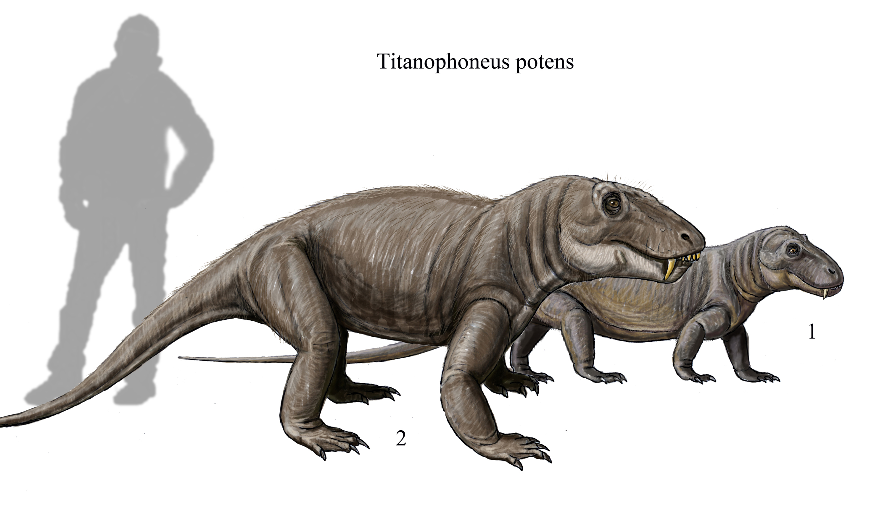
The Gnishik Formation is a geologic formation in Armenia, Azerbaijan and Iran. It preserves fossils dated to the Wordian age of the Permian period.Gnishik Formation in the The thin-bedded s of the formation reach a thickness of in the Julfa section of northwestern Iran and in the Arpa River valley of |
Formation (stratigraphy)
A geological formation, or simply formation, is a body of rock having a consistent set of physical characteristics (lithology) that distinguishes it from adjacent bodies of rock, and which occupies a particular position in the layers of rock exposed in a geographical region (the stratigraphic column). It is the fundamental unit of lithostratigraphy, the study of strata or rock layers. A formation must be large enough that it can be mapped at the surface or traced in the subsurface. Formations are otherwise not defined by the thickness (geology), thickness of their rock strata, which can vary widely. They are usually, but not universally, tabular in form. They may consist of a single lithology (rock type), or of alternating beds of two or more lithologies, or even a heterogeneous mixture of lithologies, so long as this distinguishes them from adjacent bodies of rock. The concept of a geologic formation goes back to the beginnings of modern scientific geology. The term was used by ... [...More Info...] [...Related Items...] OR: [Wikipedia] [Google] [Baidu] |
Permian
The Permian ( ) is a geologic period and System (stratigraphy), stratigraphic system which spans 47 million years, from the end of the Carboniferous Period million years ago (Mya), to the beginning of the Triassic Period 251.902 Mya. It is the sixth and last period of the Paleozoic Era; the following Triassic Period belongs to the Mesozoic Era. The concept of the Permian was introduced in 1841 by geologist Sir Roderick Murchison, who named it after the Perm Governorate, region of Perm in Russia. The Permian witnessed the diversification of the two groups of amniotes, the synapsids and the Sauropsida, sauropsids (reptiles). The world at the time was dominated by the supercontinent Pangaea, which had formed due to the collision of Euramerica and Gondwana during the Carboniferous. Pangaea was surrounded by the superocean Panthalassa. The Carboniferous rainforest collapse left behind vast regions of desert within the continental interior. Amniotes, which could better cope with these ... [...More Info...] [...Related Items...] OR: [Wikipedia] [Google] [Baidu] |
Pseudophillipsia
''Pseudophillipsia'' is a genus of trilobite, notable for being one of the last members of the group before the extinction at the end of the Permian. It first appeared during the Pennsylvanian Pennsylvanian may refer to: * A person or thing from Pennsylvania * Pennsylvanian (geology) The Pennsylvanian ( , also known as Upper Carboniferous or Late Carboniferous) is, on the International Commission on Stratigraphy, ICS geologic timesc ... or Late Carboniferous. There are several species and this genus has a range spanning Eurasia. References Phillipsiidae Proetida genera {{Librostoma-stub ... [...More Info...] [...Related Items...] OR: [Wikipedia] [Google] [Baidu] |
Nesen Formation
Nesen (, also Romanized as Nasan; also known as Nisind) is a village in Owzrud Rural District, Baladeh District, Nur County, Mazandaran Province, Iran Iran, officially the Islamic Republic of Iran (IRI) and also known as Persia, is a country in West Asia. It borders Iraq to the west, Turkey, Azerbaijan, and Armenia to the northwest, the Caspian Sea to the north, Turkmenistan to the nort .... At the 2006 census, its population was 84, in 33 families. References Populated places in Nur County {{Nur-geo-stub ... [...More Info...] [...Related Items...] OR: [Wikipedia] [Google] [Baidu] |
Ruteh Formation
Ruteh (, also Romanized as Rūteh, Roteh, and Rūdeh) is a village in Rudbar-e Qasran Rural District, Rudbar-e Qasran District, Shemiranat County, Tehran Province, Iran Iran, officially the Islamic Republic of Iran (IRI) and also known as Persia, is a country in West Asia. It borders Iraq to the west, Turkey, Azerbaijan, and Armenia to the northwest, the Caspian Sea to the north, Turkmenistan to the nort .... At the 2006 census, its population was 508, in 153 families. References Populated places in Shemiranat County {{Shemiranat-geo-stub ... [...More Info...] [...Related Items...] OR: [Wikipedia] [Google] [Baidu] |
Middle Permian
The Guadalupian is the second and middle series/epoch of the Permian. The Guadalupian was preceded by the Cisuralian and followed by the Lopingian. It is named after the Guadalupe Mountains of New Mexico and Texas, and dates between 272.95 ± 0.5 – 259.1 ± 0.4 Mya. The series saw the rise of the therapsids, a minor extinction event called Olson's Extinction and a significant mass extinction called the end-Capitanian extinction event. The Guadalupian is also known as the Middle Permian. Name and background The Guadalupian is the second and middle series or epoch of the Permian. Previously called Middle Permian, the name of this epoch is part of a revision of Permian stratigraphy for standard global correlation. The name "Guadalupian" was first proposed in the early 1900s, and approved by the International Subcommission on Permian Stratigraphy in 1996. References to the Middle Permian still exist. The Guadalupian was preceded by the Cisuralian and followed by the Lopingian. ... [...More Info...] [...Related Items...] OR: [Wikipedia] [Google] [Baidu] |
Subsidence
Subsidence is a general term for downward vertical movement of the Earth's surface, which can be caused by both natural processes and human activities. Subsidence involves little or no horizontal movement, which distinguishes it from slope movement. Processes that lead to subsidence include dissolution of underlying carbonate rock by groundwater; gradual compaction of sediments; withdrawal of fluid lava from beneath a solidified crust of rock; mining; pumping of subsurface fluids, such as groundwater or petroleum; or warping of the Earth's crust by tectonic forces. Subsidence resulting from tectonic deformation of the crust is known as tectonic subsidence and can create accommodation for sediments to accumulate and eventually lithify into sedimentary rock. Ground subsidence is of global concern to geologists, geotechnical engineers, surveyors, engineers, urban planners, landowners, and the public in general.National Research Council, 1991. ''Mitigating losses from land ... [...More Info...] [...Related Items...] OR: [Wikipedia] [Google] [Baidu] |
Bituminous
Bitumen ( , ) is an immensely viscous constituent of petroleum. Depending on its exact composition, it can be a sticky, black liquid or an apparently solid mass that behaves as a liquid over very large time scales. In American English, the material is commonly referred to as asphalt or tar. Whether found in natural deposits or refined from petroleum, the substance is classed as a pitch. Prior to the 20th century, the term asphaltum was in general use. The word derives from the Ancient Greek word (), which referred to natural bitumen or pitch. The largest natural deposit of bitumen in the world is the Pitch Lake of southwest Trinidad, which is estimated to contain 10 million tons. About 70% of annual bitumen production is destined for road construction, its primary use. In this application, bitumen is used to bind aggregate particles like gravel and forms a substance referred to as asphalt concrete, which is colloquially termed ''asphalt''. Its other main uses lie in bit ... [...More Info...] [...Related Items...] OR: [Wikipedia] [Google] [Baidu] |
Paleo-Tethys Ocean
The Paleo-Tethys or Palaeo-Tethys Ocean was an ocean located along the northern margin of the paleocontinent Gondwana that started to open during the Middle Cambrian, grew throughout the Paleozoic, and finally closed during the Late Triassic; existing for about 400 million years. Paleo-Tethys was a precursor to the Tethys Ocean (also called the Neo-Tethys), which was located between Gondwana and the Hunic terranes (continental fragments that broke off Gondwana and moved north). It opened as the Proto-Tethys Ocean subducted under these terranes and closed as the Cimmerian terranes (that also broke-off Gondwana and moved north) gave way to the Tethys Ocean. Confusingly, the Neo-Tethys is sometimes defined as the ocean south of a hypothesized mid-ocean ridge separating Greater India from Asia, in which case the ocean between Cimmeria and this hypothesized ridge is called the Meso-Tethys, i.e., the "Middle-Tethys". The so-called Hunic terranes are divided into the ''European H ... [...More Info...] [...Related Items...] OR: [Wikipedia] [Google] [Baidu] |
Arpa River
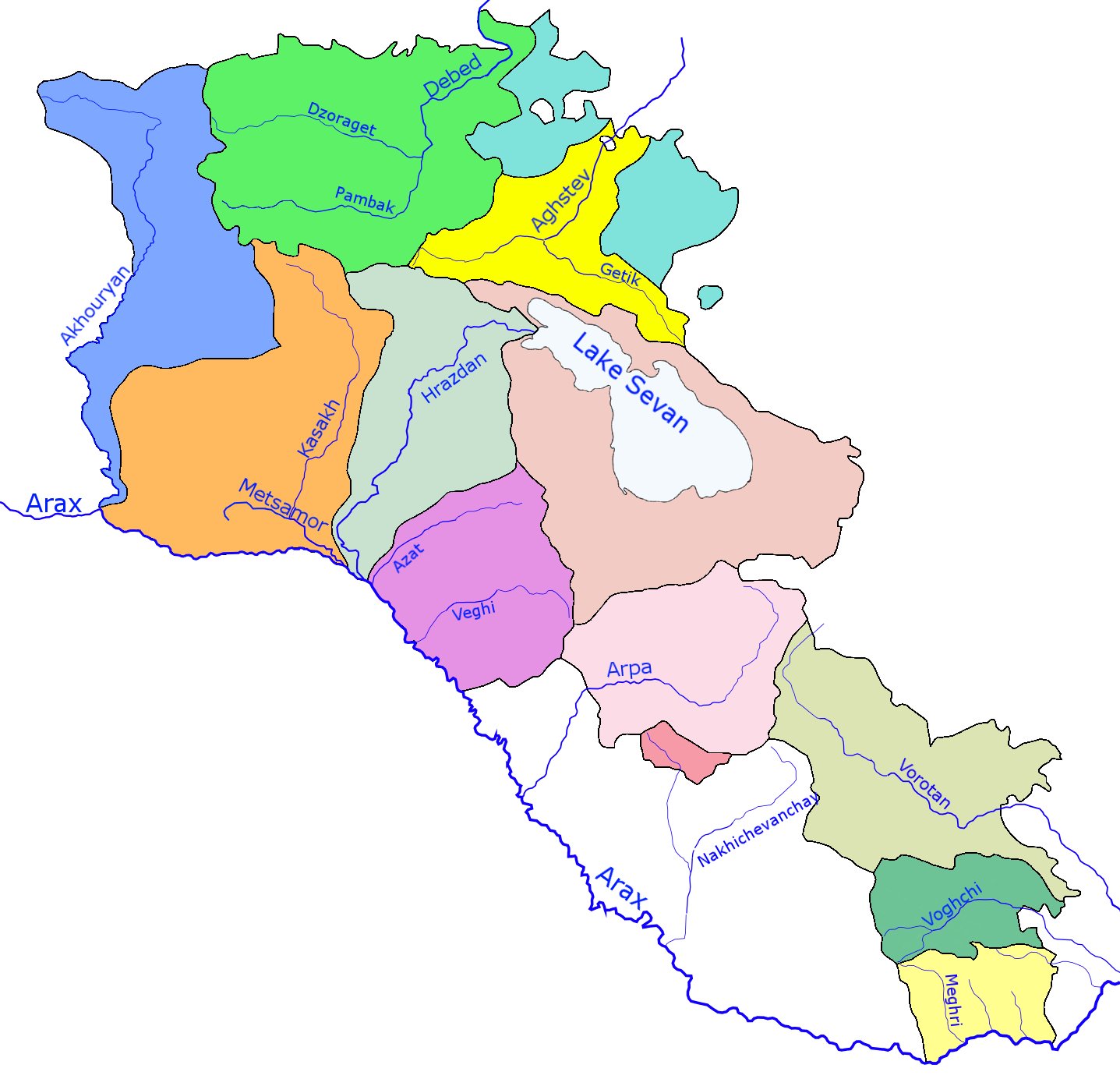
The Arpa (; ) is a river that flows through Armenia and Azerbaijan. Originating in Armenia's Vayots Dzor province (''marz''), it is a left tributary of the Aras. It is long, and has a drainage basin of . It originates on the slopes of the Zangezur Range and runs through many cities and towns, including Jermuk, Vayk, Yeghegnadzor, |


