|
Corredor Tijuana-Rosarito 2000
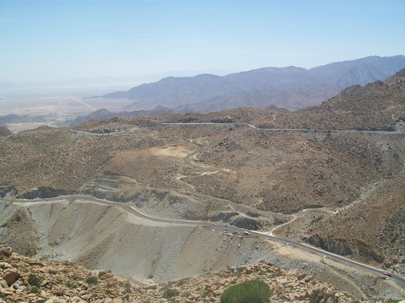
Corredor Tijuana-Rosarito 2000, also Bulevar 2000, Boulevard 2000, Corredor 2000, is a freeway in northwestern Baja California connecting the Mesa de Otay area of eastern Tijuana with Rosarito Beach. long, it runs along the southeastern edge of the developed area of metropolitan Tijuana and is considered a major infrastructure project in the state. The freeway was designed for traffic of 75,000 cars per day and to spur development of a half-million new residential units. [...More Info...] [...Related Items...] OR: [Wikipedia] [Google] [Baidu] |
Tijuana
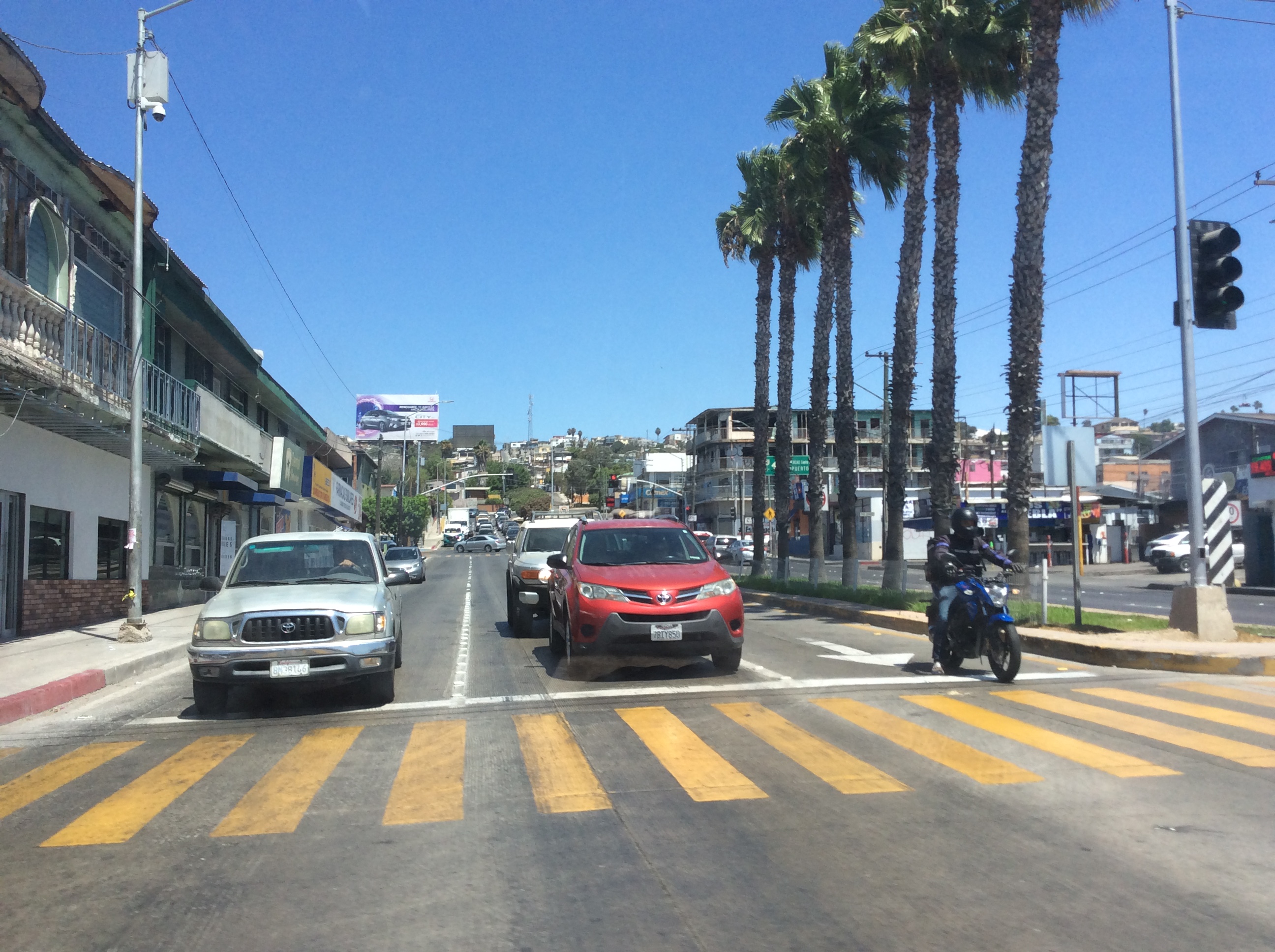
Tijuana is the most populous city of the Mexican state of Baja California, located on the northwestern Pacific Coast of Mexico. Tijuana is the municipal seat of the Tijuana Municipality, the hub of the Tijuana metropolitan area and the most populous city in northern Mexico. It is just south of California and it has a close proximity to the Mexico–United States border which is part of the San Diego–Tijuana metro area. Tijuana is the Largest cities in the Americas, 27th largest city in the Americas and is the westernmost city in Mexico. As of 2024, the population of Tijuana has increased to 2,297,000, reflecting a growth of 1.63% since 2023. The city was List of cities in Mexico, second-largest nationally with 1,810,645 inhabitants. The international metropolitan region was estimated at 5,158,459 in 2016, making it the third-largest metropolitan area in The Californias, List of the largest metropolitan areas in the Americas, 19th-largest metropolitan area in the Americas, and t ... [...More Info...] [...Related Items...] OR: [Wikipedia] [Google] [Baidu] |
Rosarito Beach
Rosarito is a coastal city in Playas de Rosarito Municipality, Baja California, on the Pacific Coast of Mexico. As of 2010, the city had a population of 65,278. Located south of the US–Mexico border, Rosarito is a part of the greater San Diego–Tijuana region and one of the westernmost cities in Mexico. Rosarito is a major tourism in Mexico, tourist destination, known for its beaches, resorts, and events like Baja Beach Fest. History Evidence of the presence of Paleo-Indians in the region has been dated as early as 2,000 BC. By 1,000 BC, a group emerged that is recognizable as the Yuman ancestors of the Kumeyaay, who continued to inhabit the northern portion of the Baja California Peninsula at the time of European contact. The Kumeyaay referred to the area now known as Rosarito as ''Wa-cuatay'', which translates to "big houses" in the Kumeyaay language. Spanish era After conquering the Aztec Empire, Hernán Cortés sent expeditions to explore what he believed to be the Island ... [...More Info...] [...Related Items...] OR: [Wikipedia] [Google] [Baidu] |
Baja California
Baja California, officially the Free and Sovereign State of Baja California, is a state in Mexico. It is the northwesternmost of the 32 federal entities of Mexico. Before becoming a state in 1952, the area was known as the North Territory of Baja California (). It has an area of (3.57% of the land mass of Mexico) and comprises the northern half of the Baja California peninsula, north of the 28th parallel, plus oceanic Guadalupe Island. The mainland portion of the state is bordered on the west by the Pacific Ocean; on the east by Sonora, the United States on the north and on the south by Baja California Sur. The state has an estimated population of 3,769,020 as of 2020, significantly higher than the sparsely populated Baja California Sur to the south, and similar to San Diego County, California, and Imperial County, California, to its north. Over 75% of the population lives in Mexicali (the state's capital city), Ensenada, or Tijuana (the state's largest city). Other impo ... [...More Info...] [...Related Items...] OR: [Wikipedia] [Google] [Baidu] |
Mesa De Otay
Otay Centenario is a borough of the municipality of Tijuana in Baja California, Mexico. It is the result of a merger between the former boroughs of Mesa de Otay and Centenario which took place on January 1, 2014. The borough is located east of the Centro borough and the Zona Río; south of the U.S. border and San Diego's Otay Mesa neighborhood; and north of La Mesa. Tijuana International Airport, and many maquiladoras are located here. Main shopping centers are the Centro Comercial Otay and Plaza Americana Otay, which is located in front of Centro Comercial Otay. The area is noted as the second gastronomic hub of the city, with many restaurants. The former Centenario borough has the largest number of factories and maquiladoras in the city. Its largest neighborhood (''colonia'') is ''Ciudad Industrial'' ("Industrial City"). Three of the city's most important streets, Boulevard Bellas Artes, Boulevard Industrial and Mexican Federal Highway 2, are located here. Parque ... [...More Info...] [...Related Items...] OR: [Wikipedia] [Google] [Baidu] |
Mexican Federal Highway 2D
Federal Highway 2D (, Fed. 2D) is a part of the federal highways corridors (), and is the designation for toll highways paralleling Mexican Federal Highway 2. Seven road segments are designated Highway 2D, all but one in the state of Baja California, providing a toll highway stretching from Tijuana in the west to around Mexicali in the east; one in Sonora, between Santa Ana and Altar; and another between the cities of Matamoros and Reynosa in Tamaulipas. Tijuana–Tecate and Libramiento de Tecate Operated by IDEAL, the Autopista Tijuana-Tecate and Libramiento de Tecate run and ,Datos Viales - Baja California SCT, 2017 respectively, with a combined toll of 111 pesos. The Highway 2D designation takes over from Baja California State Route 201 at the interchange with ... [...More Info...] [...Related Items...] OR: [Wikipedia] [Google] [Baidu] |
Mexican Federal Highway 2
Federal Highway 2 (, Fed. 2) is a toll-free part of the Mexican federal highway corridors () that runs along the U.S. border. The highway is in two separate improved segments, starting in the west at Tijuana, Baja California, on the Pacific coast and ending in the east in Matamoros, Tamaulipas, on the Gulf of Mexico. Fed. 2 passes through the border states of Baja California, Sonora, Chihuahua, Coahuila, Nuevo Leon and Tamaulipas. It has a total length of ; in the west and in the east. Fed. 2 has a connection to all official ports of entry into the United States, with the exception of the international bridge between Ojinaga, Chihuahua, and Presidio, Texas, which is between the two highway segments. These ports of entry allow road access to the four border states of the United States: California, Arizona, New Mexico, and Texas. As a result, customs inspection stations are common along some stretches of the highway. Both segments of Fed. 2 are located entire ... [...More Info...] [...Related Items...] OR: [Wikipedia] [Google] [Baidu] |
Mexican Federal Highway 1
Federal Highway 1 (, Fed. 1) is a toll-free (libre) part of the federal highway corridors () of Mexico, and the highway follows the length of the Baja California Peninsula from Tijuana, Baja California, in the north to Cabo San Lucas, Baja California Sur, in the south. The road connects with ''Via Rapida'', which merges into the American Interstate 5 (I-5) at the San Ysidro Port of Entry, which crosses the international border south of San Ysidro, California. Fed. 1 is often called the ''Carretera Transpeninsular'' (Transpeninsular Highway) and runs a length of from Tijuana to Cabo San Lucas. Most of its course, particularly south of Ensenada, is as a two-lane rural highway. Completed in 1973, Fed. 1's official name is the Benito Juárez Transpeninsular Highway (), named in honor of Mexico's president during the country's 1860s invasion by France. Route description The road begins in the border city of Tijuana, where it continues northward as Interstate 5 ... [...More Info...] [...Related Items...] OR: [Wikipedia] [Google] [Baidu] |
Ring Roads In Mexico
(The) Ring(s) may refer to: * Ring (jewellery), a round band, usually made of metal, worn as ornamental jewelry * To make a sound with a bell, and the sound made by a bell Arts, entertainment, and media Film and TV * ''The Ring'' (franchise), a Japanese horror media franchise based on the novel series by Koji Suzuki ** ''Ring'' (film), or ''The Ring'', a 1998 Japanese horror film by Hideo Nakata *** ''The Ring'' (2002 film), an American horror film, remake of the 1998 Japanese film ** ''Ring'' (1995 film), a TV film ** ''Rings'' (2005 film), a short film by Jonathan Liebesman ** ''Rings'' (2017 film), an American horror film * "Ring", a season 3 episode of ''Servant'' (TV series) Gaming * ''Ring'' (video game), 1998 * Rings (''Sonic the Hedgehog''), a collectible in ''Sonic the Hedgehog'' games Literature * ''Ring'' (Baxter novel), a 1994 science fiction novel * ''Ring'' (Alexis novel), a 2021 Canadian novel by André Alexis * ''Ring'' (novel series), a Japanese nov ... [...More Info...] [...Related Items...] OR: [Wikipedia] [Google] [Baidu] |


