|
Coastal Andhra
Coastal Andhra, also known as Kosta Andhra (International Alphabet of Sanskrit Transliteration, IAST: Kōstā Āndhra), is a geographic region in the Indian state of Andhra Pradesh, comprising the coastal districts of the state between the Eastern Ghats and the Bay of Bengal, from the northern border with Odisha, Orissa to Rayalaseema in the south. It includes major cities such as Visakhapatnam and Vijayawada as well as the state capital Amaravati and is recognized for its fertile lands, rich cultural heritage, and economic importance. Coastal Andhra plays a significant role in the state's agricultural output, particularly in rice and tobacco production, supported by abundant water resources from the Godavari River, Godavari, Krishna River, Krishna, and Penna River, Penna rivers. While Coastal Andhra generally includes the districts along the Bay of Bengal, the North Andhra, Uttarandhra (Northern Andhra) area is sometimes regarded as distinct due to its unique cultural and histo ... [...More Info...] [...Related Items...] OR: [Wikipedia] [Google] [Baidu] |
Andhra Pradesh
Andhra Pradesh (ISO 15919, ISO: , , AP) is a States and union territories of India, state on the East Coast of India, east coast of southern India. It is the List of states and union territories of India by area, seventh-largest state and the List of states and union territories of India by population, tenth-most populous in the country. Telugu language, Telugu is the most widely spoken language in the state, as well as its official language. Amaravati is the state capital, while the largest city is Visakhapatnam. Andhra Pradesh shares borders with Odisha to the northeast, Chhattisgarh to the north, Karnataka to the southwest, Tamil Nadu to the south, Telangana to northwest and the Bay of Bengal to the east. It has the Coastline of Andhra Pradesh, third-longest coastline in India at about . Archaeological evidence indicates that Andhra Pradesh has been continuously inhabited for over 247,000 years, from early archaic Hominini, hominins to Neolithic settlements. The earliest r ... [...More Info...] [...Related Items...] OR: [Wikipedia] [Google] [Baidu] |
Kakinada District
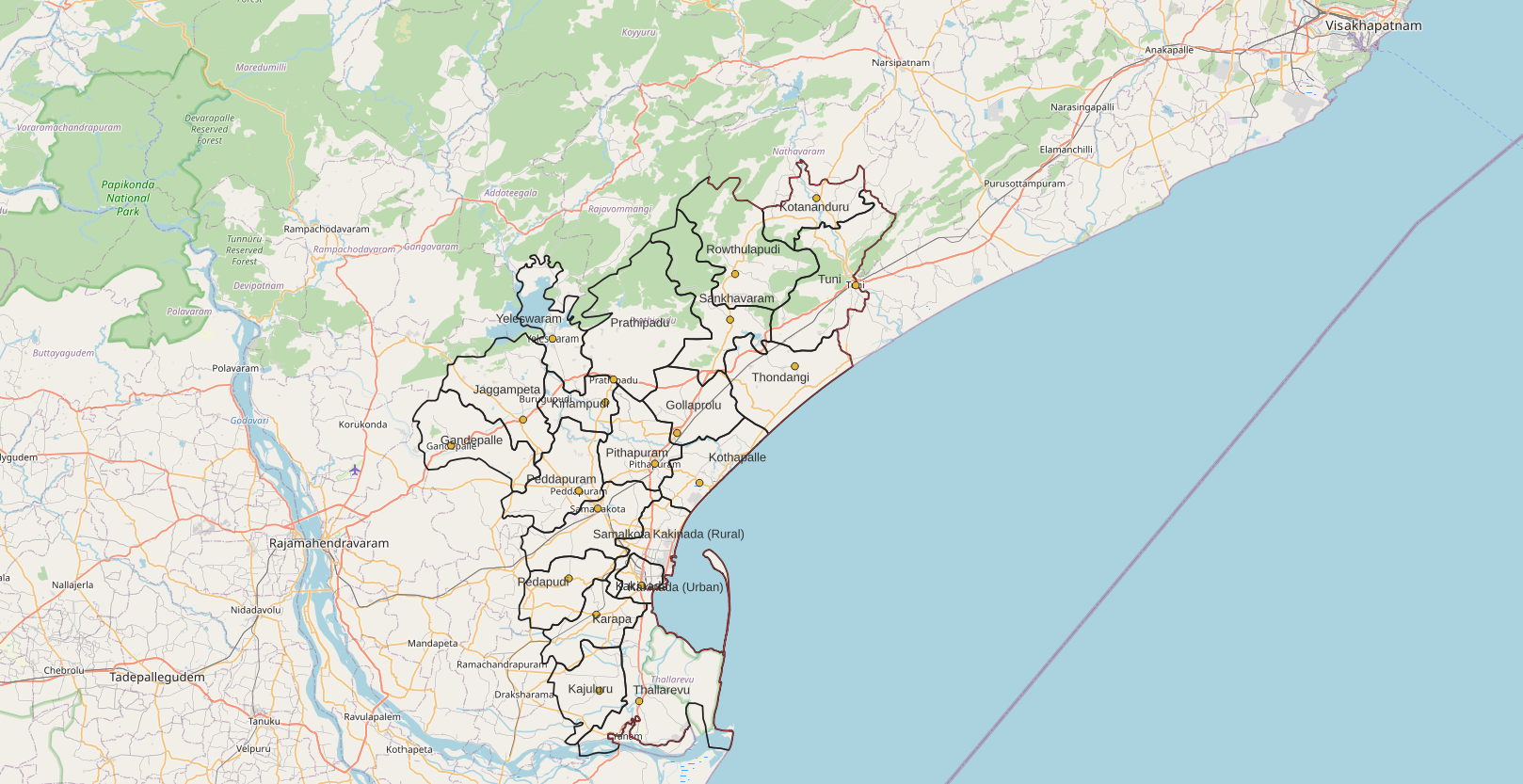
Kakinada district is a district in the Coastal Andhra Region in the Indian state of Andhra Pradesh. With Kakinada as its administrative headquarters, it was proposed on 26 January 2022 to become one of the resultant twenty six districts in the state after the final notification has been issued on 4 April 2022 by the government of Andhra Pradesh. The district was formed from Kakinada and Peddapuram revenue divisions from East Godavari district. Incidentally, during earlier times, the region comprising towns Pithapuram, Kakinada and Peddapuram were referred as Prolunadu () or Polnaud, which now roughly corresponds to the areas in this district. Etymology This district name derives from its headquarters Kakinada. History The region's administrative structure has undergone several reorganizations since the early 19th century. In 1823, during British rule, the Rajahmundry District was established as part of the Madras Presidency. In 1859, the administrative divisions of Rajahmu ... [...More Info...] [...Related Items...] OR: [Wikipedia] [Google] [Baidu] |
Nellore
Nellore, also spelt as Nelluru, is a city located on the banks of Penna River, in Nellore district of Andhra Pradesh, India.(PDF file download– 5MB) It serves as the headquarters of the district, as well as Nellore mandal and Nellore revenue division. It is the fourth most populous city in the state. It is at a distance of from |
Guntur
Guntur (), natively spelt as Gunturu, is a city in the States and union territories of India, Indian state of Andhra Pradesh and the administrative headquarters of Guntur district. The city is part of the Andhra Pradesh Capital Region and is located on the Eastern Coastal Plains approximately south-west of the state capital Amaravati. According to data from the 2011 Census of India, Guntur had a population of 743,354 in that year, making it the List of cities in Andhra Pradesh by population, third-most-populous city in the state, and occupies of land. The city is the heartland of the state, located in the center of Andhra Pradesh and making it a central part connecting different regions. The city is home to numerous state government offices and agencies. being part of the district capital and being in close proximity to the state capital Amaravati. The city is about 1100 miles south of the national capital New Delhi. It is classified as a ''Y-grade'' city as per the Pay Commi ... [...More Info...] [...Related Items...] OR: [Wikipedia] [Google] [Baidu] |
SPSR Nellore District
Nellore district, officially known as Sri Potti Sriramulu Nellore district in Coastal Andhra Region, is one of the 26 districts in the Indian state of Andhra Pradesh. According to the 2011 Census, the district's population was 2,963,557 of which 29.07% was urban. Its administrative headquarters are located in Nellore city. Located in the Coastal Andhra region, the district is bordered by the Bay of Bengal to the east, Kadapa district and Annamayya district to the west, Prakasam district to the north, and Tirupati district to the south. Etymology The name of the district is derived from the name of the district headquarters, Nellore. The city was historically known as Vikrama Simhapuri until the 13th century, when it became known as Nellore. The name "Nellore" originates from a mythological story in the Sthala Purana, which depicts a lingam in the form of a stone under a Phyllanthus emblica (amla), or nelli tree. According to this myth, the place gradually became known as "Nelli ... [...More Info...] [...Related Items...] OR: [Wikipedia] [Google] [Baidu] |
Prakasam District
Prakasam district is one of the twelve districts in the coastal Andhra region of the States and union territories of India, Indian state of Andhra Pradesh. It was formed in 1970 and reorganised on 4 April 2022. The headquarters of the district is Ongole. It is located on the western shore of Bay of Bengal and is bounded by Bapatla district and Palnadu district, Palnadu districts in the north, Nandyal district in the west, Kadapa district, Kadapa and Nellore districts in the south. A part of north west region also borders with Nagarkurnool district of Telangana. It is the List of districts of Andhra Pradesh, largest district in the state with an area of and had a population of 2,288,026 as per 2011 Census of India. Etymology The district was named after Tanguturi Prakasam, also known as Andhra Kesari''', an Indian freedom fighter who served as the first Chief minister of Andhra Pradesh#1953–1956, chief minister of Andhra State, who was born in the village of Vinodarayunipalem. ... [...More Info...] [...Related Items...] OR: [Wikipedia] [Google] [Baidu] |
Bapatla District
Bapatla district is a district in coastal Andhra in the Indian state of Andhra Pradesh (AP) established on 4 April 2022. The administrative headquarters are in Bapatla. The district is formed from parts of the erstwhile Prakasam district and Guntur districts. It has an Indian Air Force station and several universities. History Named after Bhavanarayana Swamy temple, it was originally called Bhavapuri, and later to Bhavapatla and finally, Bapatla, in due course. In 1977, a proposal to form Bapatla district was made by Kolla Venkaiah, famous communist leader. On April 4, 2022 as part of forming districts with parliamentary constituencies as the basis, the district was created with parts from erstwhile Prakasam district and Guntur districts. Bapatla Taluka was created in 1794. During May 26-27, 1913 meeting of the first Andhra Mahasabha at the townhall, the foundation for separate state for Andhras was mooted. During Independence movement, Chirala-Perala movement of 1919 led b ... [...More Info...] [...Related Items...] OR: [Wikipedia] [Google] [Baidu] |
Palnadu District
Palnadu district is a district in coastal Andhra Region in the Indian state of Andhra Pradesh. With Narasaraopet as its administrative headquarters, it was formed on 4 April 2022 to become one of the resultant twenty-six districts The district was formed from Gurazala, Sattenapalli and Narasaraopet revenue divisions from Palnadu district. The district covers most of the Palnadu region. Etymology This district has derived its name from the Palnadu or Pallava Nadu region . Geography Palnadu district is bordered by NTR district at North, Bapatla district at South East, Prakasam district at South West and Guntur district at East. It is also surrounded by Suryapet district and Nalgonda district in Telangana state at west. Land utilisation The total geographical area of the district is and is covered by forest. The net area sown is . The total cropped area in the district is . The area sown more than once during the year is . Natural resources The district is rich ... [...More Info...] [...Related Items...] OR: [Wikipedia] [Google] [Baidu] |
Guntur District
Guntur district is one of the twenty six districts in the Coastal Andhra region of the States and union territories of India, Indian state of Andhra Pradesh. The administrative seat of the district is located at Guntur, the List of urban agglomerations in Andhra Pradesh, largest city of the district in terms of area and with a population of 670,073. It has a coastline of approximately on the right bank of Krishna River, that separates it from Krishna district and NTR district. It is bounded on the south by Bapatla district and on the west by Palnadu district. It has an area of , with a population of 20,91,075, as per 2011 Census of India, 2011 census of India. The district is often referred to as the ''Land of Chillies''. It is also a major centre for agriculture, education and learning. It exports large quantities of chillies and tobacco. Etymology The district derives its name from its district headquarters, Guntur. There are several opinions on the meaning and origin of ... [...More Info...] [...Related Items...] OR: [Wikipedia] [Google] [Baidu] |
Krishna District
Krishna district is a district in the Coastal Andhra region in Indian state of Andhra Pradesh, with Machilipatnam as its administrative headquarters. It is surrounded on the East by Bay of Bengal, West by Guntur district, Guntur, Bapatla district, Bapatla and North by Eluru district, Eluru and NTR district, NTR districts and South again by Bay of Bengal. Etymology Krishna District with its district headquarters at Machilipatnam is the coastal district of Andhra Pradesh. It was formerly called as Machilipatnam District. Later it was renamed as Krishna District after the holy river Krishna, by adding certain Taluks of the abolished Guntur District in 1859. Again in 1925, Krishna District was further divided into Krishna and West Godavari Districts. There are no changes in its jurisdiction except some minor changes (in Divi Taluk and Munagala Paragana). Further Again in 2022 Krishna District was divided into Krishna and NTR Districts. It was named after the Krishna River (also kn ... [...More Info...] [...Related Items...] OR: [Wikipedia] [Google] [Baidu] |
NTR District
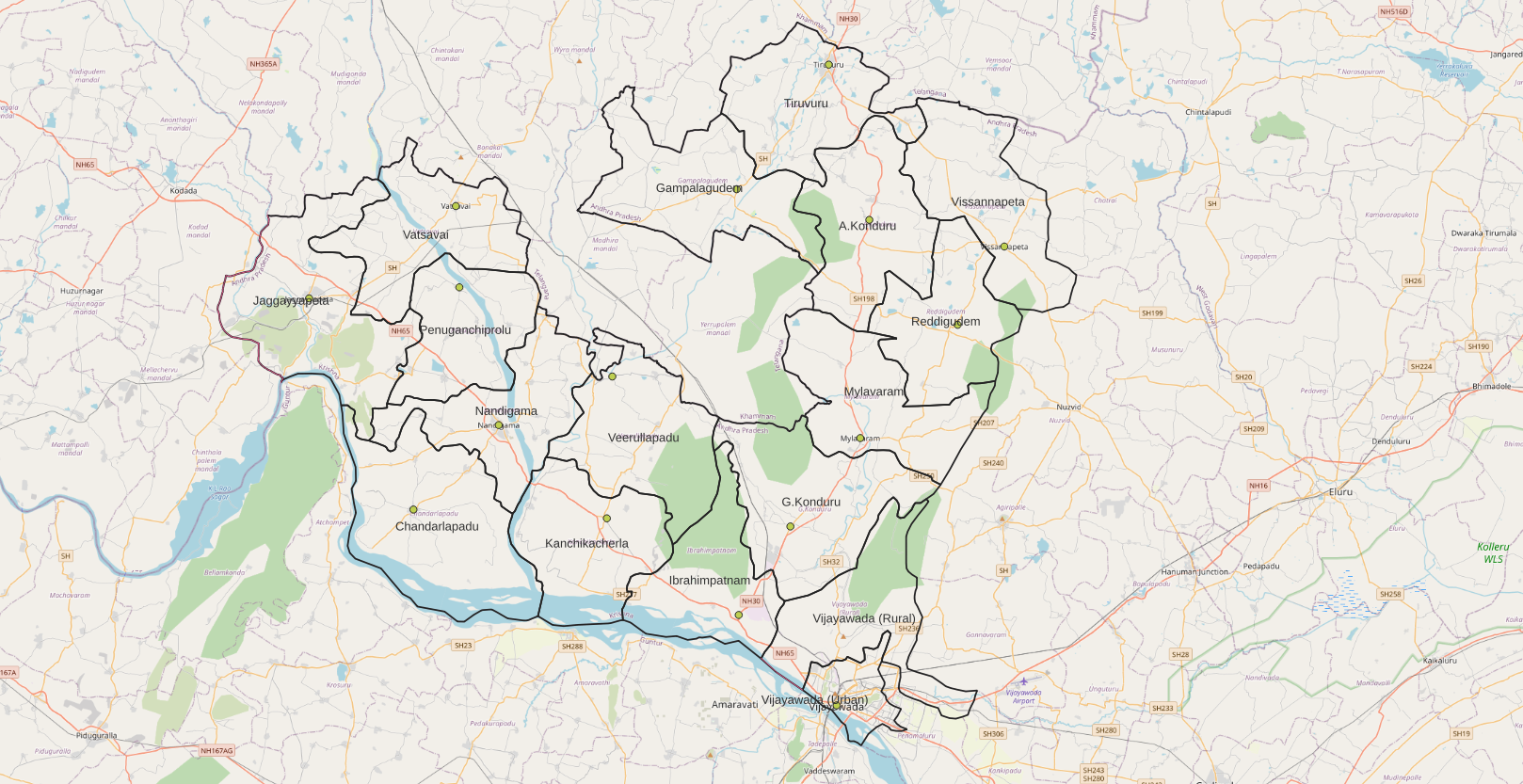
NTR district is a district in coastal Andhra Region in the Indian state of Andhra Pradesh. The district headquarters is located at Vijayawada. The district is named after former Chief Minister of Andhra Pradesh N. T. Rama Rao. The district shares boundaries with Guntur, Palnadu, Krishna, Eluru, Khammam and Suryapet districts. History NTR district was proposed on 26 January 2022 and became one of the twenty-six districts in the state after the gazette notification was issued by the Government of Andhra Pradesh on 3 April 2022. The gazette notification came into force on 4 April 2022. The district was carved out of Krishna district, and consists of the existing Vijayawada revenue division along with Nandigama and Tiruvuru revenue divisions, which were formed along with the district. It was named in the memory of Nandamuri Taraka Rama Rao (NTR), a prominent figure in the history of Andhra Pradesh. NTR, a celebrated actor and politician, was the founder of ... [...More Info...] [...Related Items...] OR: [Wikipedia] [Google] [Baidu] |
Eluru District
Eluru district is a district in coastal Andhra Region in the Indian state of Andhra Pradesh. With Eluru as its administrative headquarters, it was proposed on 26 January 2022 to become one of the resultant List of districts of Andhra Pradesh, twenty six districts in the state once a final notification is issued by the government of Andhra Pradesh. It is formed from Eluru revenue division and Jangareddygudem revenue division from West Godavari district and Nuzvid revenue division from Krishna district. History Eluru District history is shared common history with West Godavari district, The Eastern Chalukyas ruled coastal Andhra from 700 to 1200, with Vengi, near Pedavegi village, as their capital. Historical pieces of evidence are found at the villages, Pedavegi and Guntupalli (Jilakarragudem). Eluru then became a part of the Kalinga (historical kingdom), Kalinga Empire until 1471. Later it fell into the hands of the Gajapati Empire. In 1515, Krishnadevaraya captured it. After ... [...More Info...] [...Related Items...] OR: [Wikipedia] [Google] [Baidu] |


