|
Closed Area Permit
A Closed Area Permit (CAP) is a document issued by the Hong Kong Police Force (HKPF) that allows individuals to travel in the Frontier Closed Area, a regulated border zone between Hong Kong and mainland China. Individuals may apply for a permit if they live, work, have relatives, or wish to travel in the Frontier Closed Area. Those wishing to travel in the Frontier Closed Area for tourism purposes are issued a ''Tourism Closed Area Permit'', which is only valid for the date selected by the applicant for their visit. Other permits are valid for 1 to 5 years, depending on the applicant's reason for travel. For the purposes of the permit, the Frontier Closed Area is divided into four zones: Lok Ma Chau, Ta Kwu Ling, Sha Tau Kok, and Chung Ying Street. The travel of approved applicants is limited to the zone they applied to. Eligibility Any individual who possesses a valid Hong Kong identity card or passport may apply for a Closed Area Permit, either in person at the Closed Are ... [...More Info...] [...Related Items...] OR: [Wikipedia] [Google] [Baidu] |
Sha Tau Kok
Sha Tau Kok () is a closed town in North District, Hong Kong. It is the last remaining major settlement in the Frontier Closed Area and is Hong Kong's northernmost town. Its residents are mostly descendants of Hakka farmers and Hoklo fishers who settled the area as a consequence of the Qing dynasty's "Great Clearance" in the 17th century. The town can be accessed via Sha Tau Kok Road and public transit beginning in Sheung Shui. However, visitors who do not possess a valid Closed Area Permit and identification are turned away at the police checkpoint guarding the entrance to the town. There are additional restrictions on access to Chung Ying Street, which separates the Hong Kong portion of Sha Tau Kok from the mainland Chinese portion in Shenzhen ( Shatoujiao Subdistrict). Although the Hong Kong government now promotes tourism in the historically isolated town, Chung Ying Street remains closed off to most outsiders, including Hongkongers. Etymology The English name Sha ... [...More Info...] [...Related Items...] OR: [Wikipedia] [Google] [Baidu] |
Fanling
Fanling ( zh, t=粉嶺; also spelled Fan Ling or Fan Leng) is a town in the New Territories East of Hong Kong. Administratively, it is part of the North District. Fanling Town is the main settlement of the Fanling area. The name Fanling is a shortened form of Fan Pik Leng (). The area has several public and private estates. Northwest of Fanling is Sheung Shui and southeast is Tai Po. Areas Part of Fanling–Sheung Shui New Town, Fanling Town includes Luen Wo Hui (), the marketplace of Fanling before urban development in the area, and Wo Hop Shek (), where an uphill public cemetery is located. Fanling North is one of three new development areas currently being planned for North District, in parallel with Ta Kwu Ling and Kwu Tung North. Sights * Fanling Wai (), a walled village. * Fung Ying Seen Koon (), a Taoist temple. * Lung Yeuk Tau Heritage Trail * Tao Heung Foods of Mankind Museum (relocated to Fo Tan in 2008) Housing estates Public and private housing e ... [...More Info...] [...Related Items...] OR: [Wikipedia] [Google] [Baidu] |
Hong Kong Police Force
The Hong Kong Police Force (HKPF) is the primary law enforcement, investigative agency, and largest Hong Kong Disciplined Services, disciplined service under the Security Bureau (Hong Kong), Security Bureau of Hong Kong. Pursuant to the one country, two systems principle, the HKPF is officially independent of the jurisdiction of the Ministry of Public Security (China), Ministry of Public Security of the People's Republic of China, which under usual circumstances may not interfere with Hong Kong’s local law enforcement matters. All HKPF officers are employed as civil servants and therefore required to pledge allegiance to the Hong Kong Basic Law. The HKPF consists of approximately 34,000 officers, including the Hong Kong Auxiliary Police Force, civil servants, and its Marine Region (3,000 officers and 143 vessels as of 2009). History A police force has been serving British Hong Kong, Hong Kong since shortly after the island was established as a colony in 1841. On 30 Apri ... [...More Info...] [...Related Items...] OR: [Wikipedia] [Google] [Baidu] |
Frontier Closed Area
The Frontier Closed Area ( zh, t=邊境禁區) is a regulated border zone in Hong Kong that extends inwards from the border with mainland China. It was established by the Frontier Closed Area Order, 1951, and 1984. Established to prevent illegal migrants and other illegal activities from mainland China and elsewhere by land and sea, the closed area is fenced along its perimeter to serve as a buffer between the closed border and the rest of the territory patrolled and controlled by Hong Kong Police Force and its Marine Region and the Immigration Department at land and sea. Developments are tightly controlled within the area, leading to less construction and causing most of the area to become a natural habitat for animals and plants. For anyone to enter the area, a Closed Area Permit is required from the Hong Kong Police Force, unless crossing the land boundary through the Frontier Closed Area with a valid travel document by land and/or sea. History The area was e ... [...More Info...] [...Related Items...] OR: [Wikipedia] [Google] [Baidu] |
Passport
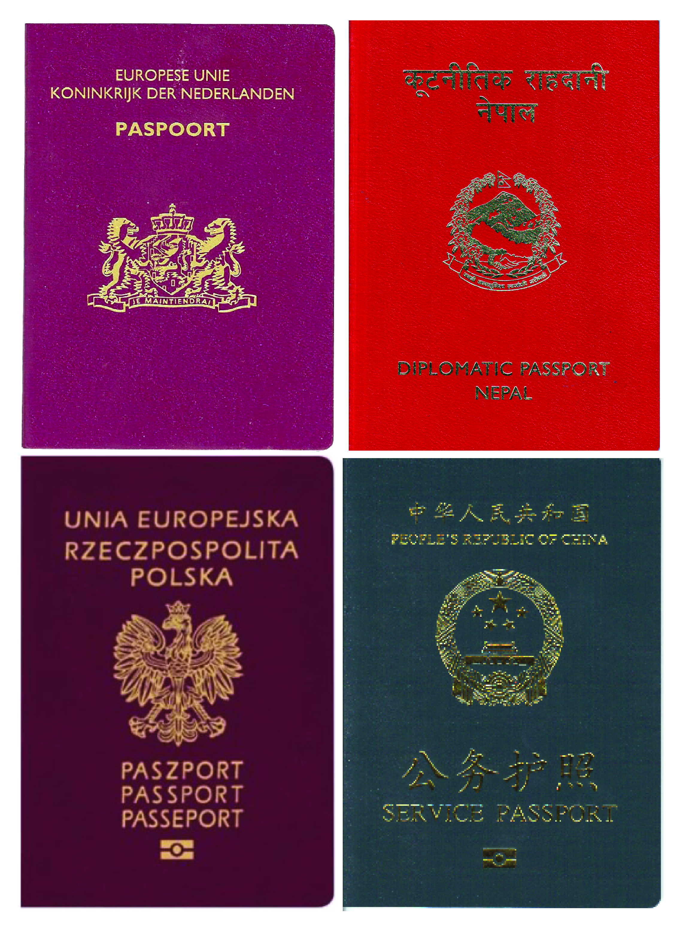
A passport is an official travel document issued by a government that certifies a person's identity and nationality for international travel. A passport allows its bearer to enter and temporarily reside in a foreign country, access local aid and protection, and obtain consular assistance from their government. In addition to facilitating travel, passports are a key mechanism for border security and regulating migration; they may also serve as official identification for various domestic purposes. State-issued travel documents have existed in some form since antiquity; the modern passport was universally adopted and standardized in 1920. The passport takes the form of a booklet bearing the official name and emblem of the issuing government and containing the biographical information of the individual, including their full name, photograph, place and date of birth, and signature. A passport does not create any rights in the country being visited nor impose any obligation o ... [...More Info...] [...Related Items...] OR: [Wikipedia] [Google] [Baidu] |
Boundaries Of Hong Kong
The Boundaries of Hong Kong, officially the Boundary of the Administrative Division of the Hong Kong Special Administrative Region of the People's Republic of China (), is a regulated administrative border with border control in force under the One country, two systems constitutional principle, which separates the Hong Kong Special Administrative Region from mainland China, by land border fence of and maritime boundary of , enforcing a separate immigration and customs-controlled jurisdiction from mainland China. The boundaries of Hong Kong are patrolled and controlled by the Hong Kong Police Force and its Marine Region and the Immigration Department at land and sea. The land boundary also includes a buffer zone, known as Frontier Closed Area. History After the First Opium War and territorial establishment of Hong Kong, the Hong Kong Island was ceded by the Qing Empire to the United Kingdom of Great Britain and Ireland through Treaty of Nanjing in 1842, not marking any ... [...More Info...] [...Related Items...] OR: [Wikipedia] [Google] [Baidu] |
Lok Ma Chau
Lok Ma Chau or Lokmachau is an area in New Territories, Hong Kong. It is the site of a major pedestrian (linked directly to the Hong Kong MTR) and road border Lok Ma Chau Control Point, crossing point between Hong Kong and mainland China. Administratively, most of the Lok Ma Chau area is located within the Yuen Long District of Hong Kong. Geography Lok Ma Chau lies just south of the Sham Chun River (or Shenzhen River in Mandarin), which forms the border between Hong Kong and mainland China. Lok Ma Chau lies opposite Huanggang Port, Huanggang in Shenzhen, China. Lok Ma Chau lies within Hong Kong's Frontier Closed Area, a buffer zone established by the Hong Kong government to prevent illegal immigration from mainland China, and access to the area is restricted to those holding Frontier Closed Area#Closed Area Permit, Closed Area Permits. Those who are crossing the border to or from China do not need permits but must leave the area immediately after completing immigration proce ... [...More Info...] [...Related Items...] OR: [Wikipedia] [Google] [Baidu] |
Ta Kwu Ling
Ta Kwu Ling is an area in the North District, New Territories, Hong Kong, located northeast of Sheung Shui, close to the border with mainland China and south to Liantang Subdistrict in Shenzhen. Before 4 January 2016, parts of Ta Kwu Ling fell within the Frontier Closed Area and a Closed Area Permit was required. Ta Kwu Ling is one of three new development areas currently being planned for North District, in parallel with Fanling North and Kwu Tung North. Administration For electoral purposes, Ta Kwu Ling is part of the Sha Ta constituency of the North District Council. It is currently represented by Ko Wai-kei, who was elected in the local elections. Villages The following villages are part of the Ta Kwu Ling District Rural Committee: * Chow Tin Tsuen * Chuk Yuen * Fung Wong Wu * Ha Shan Kai Wat * Heung Yuen Wai * Kan Tau Wai * Lei Uk * Lo Wu * Muk Wu * Nga Yiu * Nga Yiu Ha * Ping Che * Ping Yeung * San Uk Ling * Sheung Shan Kai Wat * Tai Po Tin * Ta ... [...More Info...] [...Related Items...] OR: [Wikipedia] [Google] [Baidu] |
Chung Ying Street
Chung Ying Street () is a street on the border between Hong Kong and Shenzhen, within the border town of Sha Tau Kok (Hong Kong) and Shatoujiao (Shenzhen). One side of the street belongs to Hong Kong and the other belongs to mainland China. Etymology and history In Cantonese, ''Chung'' means China and ''Ying'' England or the United Kingdom. The name is a mark of history of the Second Convention of Peking, a treaty that China under the Qing dynasty was forced to lease New Territories to Britain in 1899. The street was a river in 1899, and the British used the high water mark as the border. The river was too shallow at the section of Sha Tau Kok. It dried before the coming of World War II. The residents on both dried river sides then erected their shops to trade. The dried river then renamed to Chung Hing Street (), and later renamed to ''Chung Ying Street''. The town of Sha Tau Kok flourished for that period of time. After World War II, with large influx of refugees from C ... [...More Info...] [...Related Items...] OR: [Wikipedia] [Google] [Baidu] |
Government Of Hong Kong
The Government of the Hong Kong Special Administrative Region (commonly known as the Hong Kong Government or HKSAR Government) is the executive authorities of Hong Kong. It was established on 1 July 1997, following the handover of Hong Kong. The Chief Executive and the principal officials are appointed by the State Council of the People's Republic of China in accordance with the outcome of local processes. The Government Secretariat is headed by the Chief Secretary of Hong Kong, who is the most senior principal official of the Government. The Chief Secretary and the other secretaries jointly oversee the administration of Hong Kong, give advice to the Chief Executive as members of the Executive Council, and are accountable for their actions and policies to the Chief Executive and the Legislative Council. Under the " one country, two systems" constitutional principle, the Government is, in law, exclusively in charge of Hong Kong's internal affairs and specified external ... [...More Info...] [...Related Items...] OR: [Wikipedia] [Google] [Baidu] |


