|
Christchurch Northern Motorway
The Christchurch Northern Motorway is the main northern route into and out of Christchurch, New Zealand. The motorway forms part of (SH 1) and (SH 74). The motorway, which heads in a northerly direction, is approximately 16.5 km in length. It links the suburb of St Albans with Pineacres, south of Woodend, bypassing the outer suburban areas of Northcote, Redwood, Belfast, and Kaiapoi. At its southern end, it connects with QEII drive where SH 74 continues east as an expressway, and links south to Cranford Street from where vehicles can access the City Centre. is four-lane divided except for the two-lane undivided section between the Lineside Road/Smith Street interchange and the northern terminus. The motorway forms part of SH 1. The southern end of the motorway is being extended to QEII Drive in the Christchurch suburb of Mairehau; this extension forms part of SH 74. Route The Christchurch Northern Motorway begins in the suburb of St Albans at a roundabout intersection ... [...More Info...] [...Related Items...] OR: [Wikipedia] [Google] [Baidu] |
State Highway 1 NZ
State may refer to: Arts, entertainment, and media Literature * '' State Magazine'', a monthly magazine published by the U.S. Department of State * ''The State'' (newspaper), a daily newspaper in Columbia, South Carolina, United States * '' Our State'', a monthly magazine published in North Carolina and formerly called ''The State'' * The State (Larry Niven), a fictional future government in three novels by Larry Niven Music Groups and labels * States Records, an American record label * The State (band), Australian band previously known as the Cutters Albums * ''State'' (album), a 2013 album by Todd Rundgren * ''States'' (album), a 2013 album by the Paper Kites * ''States'', a 1991 album by Klinik * ''The State'' (album), a 1999 album by Nickelback Television * ''The State'' (American TV series), 1993 * ''The State'' (British TV series), 2017 Other * The State (comedy troupe), an American comedy troupe Law and politics * State (polity), a centralized political organ ... [...More Info...] [...Related Items...] OR: [Wikipedia] [Google] [Baidu] |
Christchurch Southern Motorway
The Christchurch Southern Motorway is the main southern route into and out of Christchurch, New Zealand. The motorway forms part of (SH 1) and (SH 76) . The motorway, which heads in a generally south-west direction, is approximately 20 km in length. It links the inner-city suburb of Addington, where it starts at the western end of Brougham Street, to just north-east of the satellite centre of Rolleston in the Selwyn District. Route The Christchurch Southern Motorway begins in the suburb of Addington at the western end of Brougham Street (at the Collins Street intersection), which is a busy multi-lane road linking to the port at Lyttelton, just south of the Christchurch Central Business District (CBD) on SH 76. The motorway continues south-west, crossing Barrington Street (where there is an interchange) and Lincoln Road and passing to the south of Middleton. There is an interchange at Curletts Road, then skirts to the south of Wigram, passing under Aidanfield Drive and ... [...More Info...] [...Related Items...] OR: [Wikipedia] [Google] [Baidu] |
Transport In Christchurch
Transport (in British English), or transportation (in American English), is the intentional movement of humans, animals, and goods from one location to another. Modes of transport include air, land (rail and road), water, cable, pipeline, and space. The field can be divided into infrastructure, vehicles, and operations. Transport enables human trade, which is essential for the development of civilizations. Transport infrastructure consists of both fixed installations, including roads, railways, airways, waterways, canals, and pipelines, and terminals such as airports, railway stations, bus stations, warehouses, trucking terminals, refueling depots (including fueling docks and fuel stations), and seaports. Terminals may be used both for interchange of passengers and cargo and for maintenance. Means of transport are any of the different kinds of transport facilities used to carry people or cargo. They may include vehicles, riding animals, and pack animals. Vehicles may inclu ... [...More Info...] [...Related Items...] OR: [Wikipedia] [Google] [Baidu] |
Christchurch Central City
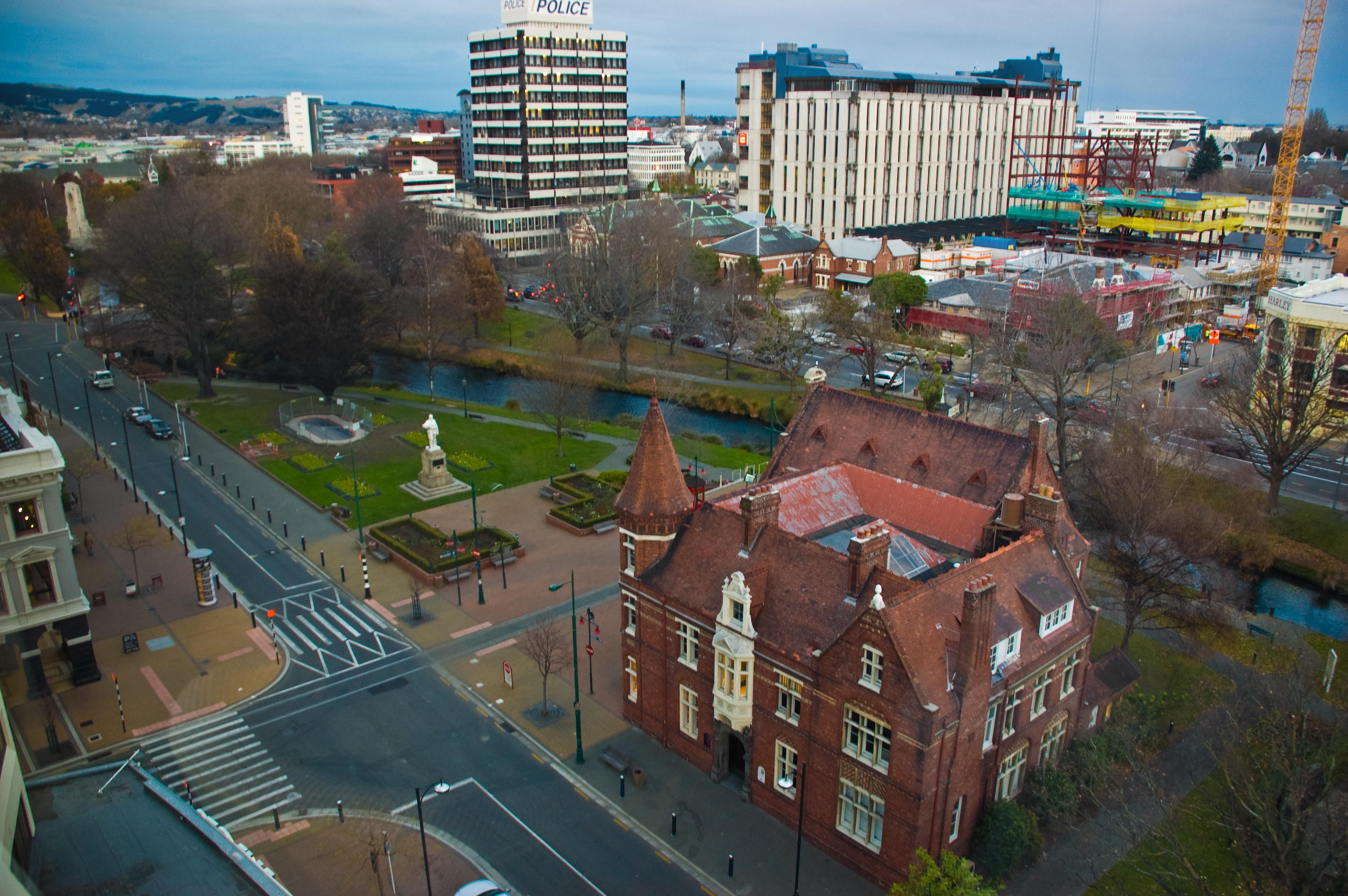
Christchurch Central City or Christchurch City Centre is the geographical centre and the heart of Christchurch, New Zealand. It is defined as the area within the Four Avenues (Bealey Avenue, Fitzgerald Avenue, Moorhouse Avenue and Deans Avenue) and thus includes the densely built up central city, some less dense surrounding areas of residential, educational and industrial usage, and green space including Hagley Park, the Christchurch Botanic Gardens and the Barbadoes Street Cemetery. It suffered heavy damage in the 2010 Canterbury earthquake and was devastated in the 2011 Christchurch earthquake. Following this second earthquake, the Central City Red Zone was set up and, with a gradually shrinking area, remained inaccessible except to authorised contractors until June 2013. However, proposals to relocate the city centre elsewhere, to avoid future damage, were considered both uneconomical (as much of the infrastructure was still mainly intact) and unnecessary, as the rebuilt ... [...More Info...] [...Related Items...] OR: [Wikipedia] [Google] [Baidu] |
Marshland, New Zealand
Marshland is a semi-rural suburb on the northern side of Christchurch city. The land is primarily used for horticulture and dairy farming. The suburb is named for the peaty soil, and was also called Rhodes' Swamp after landowner and politician Robert Heaton Rhodes (1815–1884). forms the western and southern boundary of the suburb. The Styx River runs northeast through Marshland. Demographics Marshland covers . It had an estimated population of as of with a population density of people per km2. Marshland had a population of 789 at the 2018 New Zealand census Eighteen or 18 may refer to: * 18 (number), the natural number following 17 and preceding 19 * one of the years 18 BC, AD 18, 1918, 2018 Film, television and entertainment * ''18'' (film), a 1993 Taiwanese experimental film based on the sh ..., an increase of 30 people (4.0%) since the 2013 census, and an increase of 6 people (0.8%) since the 2006 census. There were 258 households. There were 408 males ... [...More Info...] [...Related Items...] OR: [Wikipedia] [Google] [Baidu] |
Oxford, New Zealand
Oxford is a small town serving the farming community of North Canterbury, New Zealand. It is part of the Waimakariri District and is a linear town, approximately long. Originally, it was served by the Oxford Branch railway, and had two stations, East Oxford and West Oxford. The line closed in 1959 and was dismantled. Some railway signs and the remnants of railway platforms can still be seen along Oxford Road on the way to Rangiora. It was originally a logging town: trees were felled from forests in the area, and hauled by beast to Christchurch. A mural depicting life from that era is painted on the side wall of the butchers shop. Oxford has won awards for the most beautiful village and the most beautiful toilet. Geography Oxford is located at the inland edge of the Canterbury Plains, approximately 50 km northwest of Christchurch. The township is about 30 km from Rangiora to the East, and the townships of Sheffield and Darfield to the west. The climate of Oxfor ... [...More Info...] [...Related Items...] OR: [Wikipedia] [Google] [Baidu] |
Rangiora
Rangiora is the largest town and seat of the Waimakariri District, in Canterbury, New Zealand. It is north of Christchurch, and is part of the Christchurch metropolitan area. With an estimated population of Rangiora is the 30th largest urban area in New Zealand, and the fifth-largest in the Canterbury region (behind Christchurch, Timaru, Ashburton and Rolleston). Geography Rangiora is north of Christchurch's Cathedral Square or 20 minutes drive north of the Christchurch International Airport. It is close to the northern end of Canterbury's Inland Scenic Route (formerly State Highway 72), which skirts the inner edge of the Canterbury Plains, running southwest to Timaru via Oxford and Geraldine. The Ashley River / Rakahuri is just to the north of the town. Climate Rangiora has an oceanic climate, (''Cfb'' according to the Köppen climate classification), with warm summers and mild winters. Rangiora has an average annual mean of , an average annual high of and an average ... [...More Info...] [...Related Items...] OR: [Wikipedia] [Google] [Baidu] |
Picton, New Zealand
Picton ( mi, Waitohi) is a town in the Marlborough Region of New Zealand's South Island. The town is located near the head of the Queen Charlotte Sound / Tōtaranui, north of Blenheim and west of Wellington. Waikawa lies just north-east of Picton and is considered to be a contiguous part of the Picton urban area. Picton is a major hub in New Zealand's transport network, connecting the South Island road and rail network with ferries across Cook Strait to Wellington and the North Island. The Picton urban area has a population of making it the second-largest town in the Marlborough Region behind Blenheim. It is the easternmost town in the South Island with a population of at least 1,000 people. Toponymy The town is named after Sir Thomas Picton, the Welsh military associate of the Duke of Wellington, who was killed at the Battle of Waterloo. Thomas Picton's connection to the slave trade and controversial governorship of Trinidad has resulted in calls for places ... [...More Info...] [...Related Items...] OR: [Wikipedia] [Google] [Baidu] |
Christchurch City Council
The Christchurch City Council is the local government authority for Christchurch in New Zealand. It is a territorial authority elected to represent the people of Christchurch. Since October 2022, the Mayor of Christchurch is Phil Mauger, who succeeded after the retirement of Lianne Dalziel. The council currently consists of 16 councillors elected from sixteen wards, and is presided over by the mayor, who is elected at large. The number of elected members and ward boundaries changed prior during the 2016 election. History As a result of the 1989 local government reforms, on 1 November 1989 Christchurch City Council took over the functions of the former Christchurch City Council, Heathcote County Council, Riccarton Borough Council, Waimairi District Council, part of Paparua County Council, and the Christchurch Drainage Board. On 6 March 2006, Banks Peninsula District Council merged with Christchurch City Council. Councillor Yani Johanson campaigned since 2010 to live-stre ... [...More Info...] [...Related Items...] OR: [Wikipedia] [Google] [Baidu] |
Diamond Interchange
A diamond interchange is a common type of road junction, used where a controlled-access highway crosses a minor road. Design The freeway itself is grade-separated from the minor road, one crossing the other over a bridge. Approaching the interchange from either direction, an off-ramp diverges only slightly from the freeway and runs directly across the minor road, becoming an on-ramp that returns to the freeway in similar fashion. The two places where the ramps meet the road are treated as conventional intersections. In the United States, where this form of interchange is very common, particularly in rural areas, traffic on the off-ramp typically faces a stop sign at the minor road, while traffic turning onto the freeway is unrestricted. The diamond interchange uses less space than most types of freeway interchange, and avoids the interweaving traffic flows that occur in interchanges such as the cloverleaf. Thus, diamond interchanges are most effective in areas whe ... [...More Info...] [...Related Items...] OR: [Wikipedia] [Google] [Baidu] |
Roads Of National Significance
Roads of National Significance (RoNS) was a name given by the 5th National Party Government, to a programme to speed up road construction in New Zealand between 2009 and 2017. RoNS were first announced on 20 March 2009 by Transport Minister, Steven Joyce, saying they were, "singled out as essential routes that require priority treatment". They were described as "routes that are critical to improving economic productivity and growth. . . The focus is on moving people and freight between and within these centres more safely and efficiently". Later in 2009, Prime Minister John Key, announced $11 billion in new State Highway investment over the coming decade, saying National wants to significantly improve our road network and help unclog New Zealand's growth arteries. Between 2012 and 2015 petrol taxes and road user charges rose 9 cents a litre to pay for RoNS. The proportion of the transport budget for new and improved state highways rose from 23.4% in 2009/2010, to 61.8% in ... [...More Info...] [...Related Items...] OR: [Wikipedia] [Google] [Baidu] |
Queen Elizabeth II Drive
Queen or QUEEN may refer to: Monarchy * Queen regnant, a female monarch of a Kingdom ** List of queens regnant * Queen consort, the wife of a reigning king * Queen dowager, the widow of a king * Queen mother, a queen dowager who is the mother of a reigning monarch Arts and entertainment Fictional characters * Queen (Marvel Comics), Adrianna "Ana" Soria * Evil Queen, from ''Snow White'' * Red Queen (''Through the Looking-Glass'') * Queen of Hearts (''Alice's Adventures in Wonderland'') Gaming * Queen (chess), a chess piece * Queen (playing card), a playing card with a picture of a woman on it * Queen (carrom), a piece in carrom Music * Queen (band), a British rock band ** ''Queen'' (Queen album), 1973 * ''Queen'' (Kaya album), 2011 * ''Queen'' (Nicki Minaj album), 2018 * ''Queen'' (Ten Walls album), 2017 * "Queen", a song by Estelle from the 2018 album ''Lovers Rock'' * "Queen", a song by G Flip featuring Mxmtoon, 2020 * "Queen", a song by Jessie J from the 2 ... [...More Info...] [...Related Items...] OR: [Wikipedia] [Google] [Baidu] |


