|
Bolvan Fortress
Bolvan Fortress (), also known as Bovan Fortress () or Jerina's City () is a fortress located 9 km from Aleksinac, near Bovan (Aleksinac), the village and lake Bovan. Likely built on the foundations of the Roman Empire, Roman castrum Praesidium Pompei, the fortress is first mentioned in 1395, in a legal document by Princess Milica of Serbia. It served as a salt depository during the period of Moravian Serbia, as well as a border fortress in the Serbian Despotate. Name The name ''Bolvan'' or ''Bovan'' likely came from the Proto-Slavic word "bolvan" meaning ''idol'', which might imply that there was a Slavs, Slavic temple with a wooden statue of a Slavic paganism, Slavic divinity located at the site. Another name of the fortress, more prevalent in folklore, is ''Jerinin Grad'' (''Jerina's City''), after Irene Kantakouzene, the wife of Despot Đurađ Branković and a member of the Byzantine Greeks, Byzantine Greek noble family of Kantakouzenos. Her role in using forced labor ... [...More Info...] [...Related Items...] OR: [Wikipedia] [Google] [Baidu] |
Bovan (Aleksinac)
Bovan ( sr-cyrl, Бован) is a village in Serbia situated in the municipality of Aleksinac, in the Nišava District. Bovan has a population of 554 as recorded in the 2002 census. External links Populated places in Nišava District {{NišavaRS-geo-stub ... [...More Info...] [...Related Items...] OR: [Wikipedia] [Google] [Baidu] |
Đurađ Branković
Đurađ Vuković Branković ( sr-Cyrl, Ђурађ Вуковић Бранковић, ; 1377 – 24 December 1456) served as the Serbian Despot from 1427 to 1456, making him one of the final rulers of medieval Serbia. In 1429, Branković was formally granted the Byzantine title of ''Despot'' by Emperor John VIII Palaiologos. Like many Christian rulers in Eastern Europe at the time, his rule was marked by Ottoman vassalage. Despite this, he often sought to strengthen Christian alliances while maintaining the appearance of loyalty to the Ottoman Empire. Branković is also remembered for constructing the Smederevo Fortress in the city of Smederevo, which became the last capital of medieval Christian Serbia. Despot Đurađ died in late 1456. Following his death Serbia, Bosnia, and Albania fell under the dominance of Sultan Mehmed II. During his reign Đurađ amassed a significant library of Serbian, Slavonic, Latin, and Greek manuscripts and made Smederevo a hub of Serbian culture. H ... [...More Info...] [...Related Items...] OR: [Wikipedia] [Google] [Baidu] |
Castra
''Castra'' () is a Latin language, Latin term used during the Roman Republic and Roman Empire for a military 'camp', and ''castrum'' () for a 'Fortification, fort'. Either could refer to a building or plot of land, used as a fortified military base.. Included is a discussion about the typologies of Roman fortifications. In English language, English usage, ''castrum'' commonly translates to "Roman fort", "Roman camp" and "Roman fortress". Scholastic convention tends to translate ''castrum'' as "fort", "camp", "marching camp" or "fortress". Romans used the term ''castrum'' for different sizes of camps – including large Roman legion, legionary fortresses, smaller forts for Cohort (military unit), cohorts or for auxiliary forces, military camp, temporary encampments, and "marching" forts. The diminutive form ''castellum'' was used for fortlets, typically occupied by a detachment of a cohort or a ''centuria''. Etymology ''Castrum'' appears in Oscan language, Oscan and Umbrian ... [...More Info...] [...Related Items...] OR: [Wikipedia] [Google] [Baidu] |
Lipovac (Aleksinac)
Lipovac () is a village in the municipality of Aleksinac, Serbia , image_flag = Flag of Serbia.svg , national_motto = , image_coat = Coat of arms of Serbia.svg , national_anthem = () , image_map = , map_caption = Location of Serbia (gree .... According to the 2002 census, the village has a population of 418 people.Popis stanovništva, domaćinstava i Stanova 2002. Knjiga 1: Nacionalna ili etnička pripadnost po naseljima. Republika Srbija, Republički zavod za statistiku Beograd 2003. References Populated places in Nišava District {{NišavaRS-geo-stub ... [...More Info...] [...Related Items...] OR: [Wikipedia] [Google] [Baidu] |
Rutevac
Rutevac () is a village in the municipality of Aleksinac, Serbia , image_flag = Flag of Serbia.svg , national_motto = , image_coat = Coat of arms of Serbia.svg , national_anthem = () , image_map = , map_caption = Location of Serbia (gree .... According to the 2002 census, the village has a population of 1094 people. In antiquity, Rutevac was known as ''Praesidium Pompei''. References Populated places in Nišava District {{NišavaRS-geo-stub ... [...More Info...] [...Related Items...] OR: [Wikipedia] [Google] [Baidu] |
Tabula Peutingeriana
' (Latin Language, Latin for 'The Peutinger Map'), also known as Peutinger's Tabula, Peutinger tablesJames Strong (theologian) , James Strong and John McClintock (theologian) , John McClintock (1880)"Eleutheropolis" In: ''The Cyclopedia of Biblical, Theological, and Ecclesiastical Literature''. NY: Haper and Brothers. Accessed 30 August 2024 via biblicalcyclopedia.com. and Peutinger Table, is an illustrated ' (ancient Roman road map) showing the layout of the ''cursus publicus'', the road network of the Roman Empire. The map is a parchment copy, dating from around 1200, of a Late antiquity, Late Antique original. It covers Europe (without the Iberian Peninsula and the British Isles), North Africa, and parts of Asia, including the Middle East, Persia, and the Indian subcontinent. According to one hypothesis, the existing map is based on a document of the 4th or 5th century that contained a copy of the world map originally prepared by Marcus Vipsanius Agrippa, Agrippa during the re ... [...More Info...] [...Related Items...] OR: [Wikipedia] [Google] [Baidu] |
Constantinople
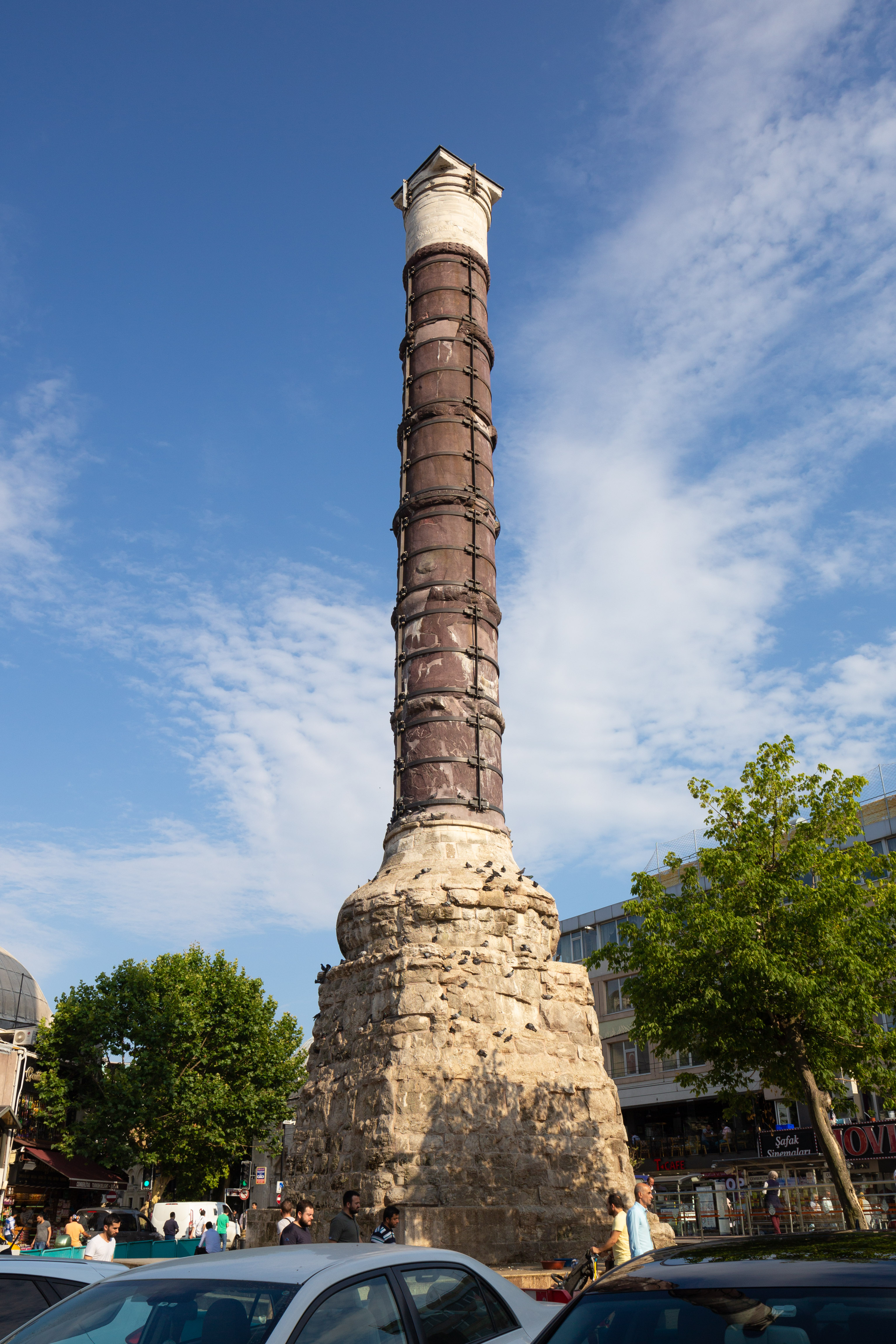
Constantinople (#Names of Constantinople, see other names) was a historical city located on the Bosporus that served as the capital of the Roman Empire, Roman, Byzantine Empire, Byzantine, Latin Empire, Latin, and Ottoman Empire, Ottoman empires between its consecration in 330 until 1930, when it was renamed to Istanbul. Initially as New Rome, Constantinople was founded in 324 during the reign of Constantine the Great on the site of the existing settlement of Byzantium, and shortly thereafter in 330 became the capital of the Roman Empire. Following the collapse of the Western Roman Empire in the late 5th century, Constantinople remained the capital of the Eastern Roman Empire (also known as the Byzantine Empire; 330–1204 and 1261–1453), the Latin Empire (1204–1261), and the Ottoman Empire (1453–1922). Following the Turkish War of Independence, the Turkish capital then moved to Ankara. Although the city had been known as Istanbul since 1453, it was officially renamed as Is ... [...More Info...] [...Related Items...] OR: [Wikipedia] [Google] [Baidu] |
Belgrade
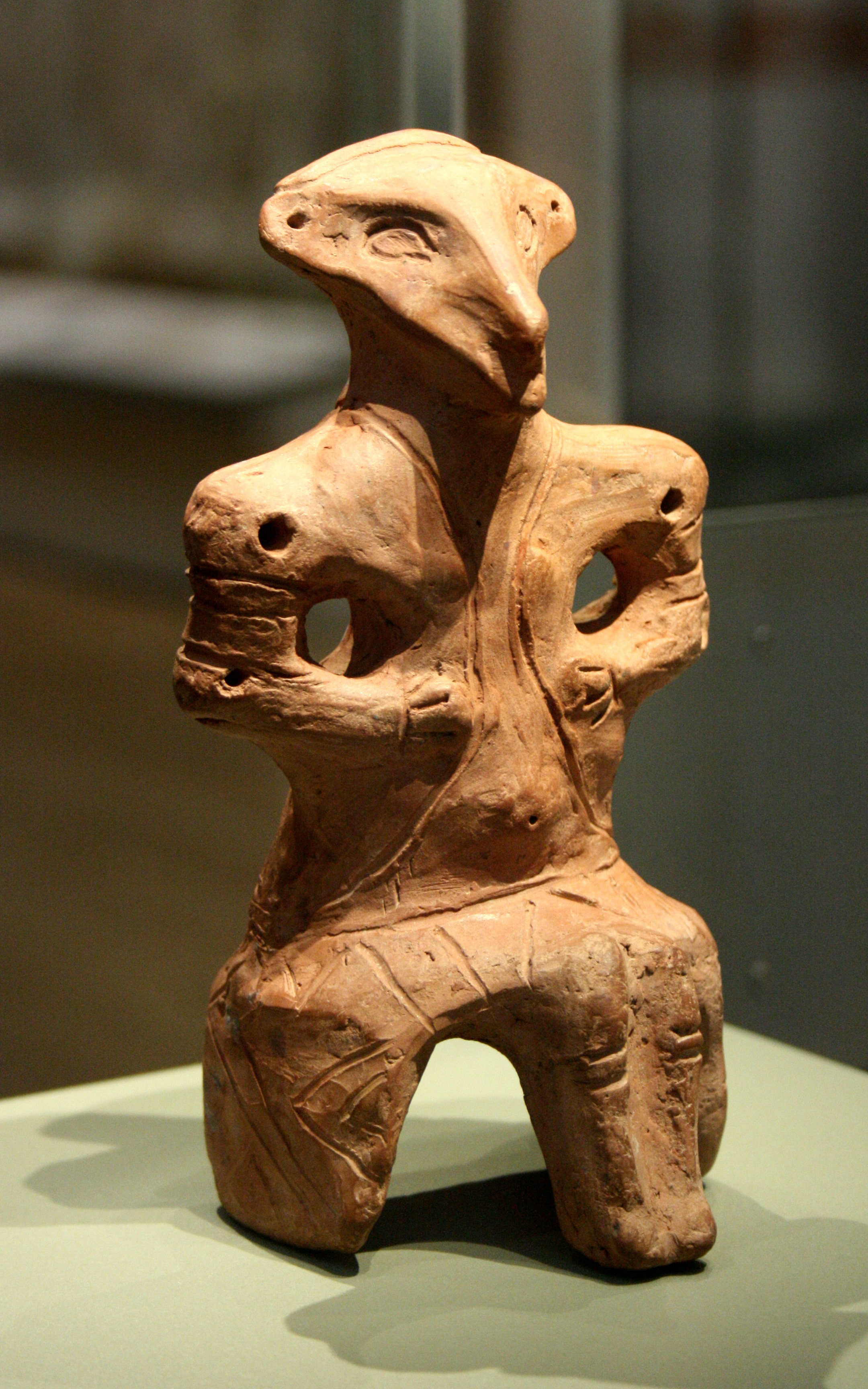
Belgrade is the Capital city, capital and List of cities in Serbia, largest city of Serbia. It is located at the confluence of the Sava and Danube rivers and at the crossroads of the Pannonian Basin, Pannonian Plain and the Balkan Peninsula. The population of the Belgrade metropolitan area is 1,685,563 according to the 2022 census. It is one of the Balkans#Urbanization, major cities of Southeast Europe and the List of cities and towns on the river Danube, third-most populous city on the river Danube. Belgrade is one of the List of oldest continuously inhabited cities, oldest continuously inhabited cities in Europe and the world. One of the most important prehistoric cultures of Europe, the Vinča culture, evolved within the Belgrade area in the 6th millennium BC. In antiquity, Thracians, Thraco-Dacians inhabited the region and, after 279 BC, Celts settled the city, naming it ''Singidunum, Singidūn''. It was Roman Serbia, conquered by the Romans under the reign of Augustus and ... [...More Info...] [...Related Items...] OR: [Wikipedia] [Google] [Baidu] |
Via Militaris
Via Militaris or Via Diagonalis was an ancient Roman road, starting from Singidunum (today the Serbian capital Belgrade), passing by Danube coast to Viminacium (near modern Kostolac), through Naissus (modern Niš), Serdica (modern Sofia), Philippopolis (modern Plovdiv), Adrianopolis (modern Edirne in Turkish Thrace), and reaching Constantinople (modern Istanbul). This road was connected with Via Egnatia by other roads: the road along the Axios (or Vardar) River, the road from Serdica to Thessalonica along the Strymon (or Struma) River, and the road from Philippopolis to Philippi. It was built in the 1st century AD. The length from Singidunum to Constantinople was 924 kilometres. During the first European conquests of Ottoman Turks ''orta kol'' (lit. ''middle arm'') was following the ''Via Militaris''. In May 2010, while work was done on the Pan-European Corridor X in Serbia, well-preserved remains of the road were excavated in Dimitrovgrad, Serbia Dimitrovgrad () alter ... [...More Info...] [...Related Items...] OR: [Wikipedia] [Google] [Baidu] |
Tabula Peutingeriana-praesidiumpompei
Tabula may refer to: * Tabula, Inc., a semiconductor company *Tabula (game), a game thought to be the predecessor to backgammon * ''Tabula'' (magazine), a magazine published in Tbilisi, Georgia *Tabula ansata A tabula ansata or tabella ansata (Latin for "tablet with handles", plural ''tabulae ansatae'' or ''tabellae ansatae'') is a tablet with dovetail joint, dovetail Handle (grip), handles. It was a favorite form for Votive offering, votive tablets ..., a tablet with handles See also * Tabula Rasa (other) {{disambig ... [...More Info...] [...Related Items...] OR: [Wikipedia] [Google] [Baidu] |
Sokobanjska Moravica
The Sokobanjska Moravica or simply Moravica ( sr-Cyrl, Сокобањска Моравица) is a river in central eastern Serbia, a 58 km-long right tributary to the Južna Morava river. Devica and Ozren mountains The Sokobanjska Moravica originates from the eastern slopes of the Devica mountain, near the village of Skrobnica. The river flows to the north, turns westward at the village of Levovik and enters the Banja region. The rivers flows between the northern slopes of the Devica and Ozren mountains (on the south) and southern slopes of the Rtanj mountain (on the north), next to the villages of Čitluk (including a coal mine), Vrela and Blendija, reaching the town of Sokobanja, a center of Sokobanja depression and of the whole Banja region. Bovan After the villages of Poružnica and Trubarevac, the Sokobanjska Moravica turns south, curving between the western tip of the Ozren and southern slopes of the Bukovik mountain. At the village of Bovan, the river is dammed ... [...More Info...] [...Related Items...] OR: [Wikipedia] [Google] [Baidu] |


