|
Azerley
Azerley is a hamlet and civil parish in the county of North Yorkshire, England. It is about north-west of Ripon. The civil parish includes the larger village of Galphay, and also the village of Mickley, North Yorkshire, Mickley. The population of the parish in the 2001 census was 355, reducing to 340 at the 2011 Census. The civil parish shares a grouped parish council with the civil parish of Winksley. Until 1974 it was part of the West Riding of Yorkshire. From 1974 to 2023 it was part of the Borough of Harrogate, it is now administered by the unitary North Yorkshire Council. Braithwaite Hall, about half a mile north west of Galphay, is a Grade II listed building thought to date from the 16th century. It should not be confused with Braithwaite Hall in Coverdale (dale), Coverdale, a National Trust property. See also *Listed buildings in Azerley References External links * * Villages in North Yorkshire Civil parishes in North Yorkshire {{NorthYorkshire- ... [...More Info...] [...Related Items...] OR: [Wikipedia] [Google] [Baidu] |
Listed Buildings In Azerley
Azerley is a Civil parishes in England, civil parish in the county of North Yorkshire, England. It contains 17 Listed building#England and Wales, listed buildings that are recorded in the National Heritage List for England. All the listed buildings are designated at Grade II, the lowest of the three grades, which is applied to "buildings of national importance and special interest". The parish contains the villages of Azerley, Galphay and Mickley, North Yorkshire, Mickley, and the surrounding countryside. The listed buildings include houses and cottages, farmhouses and farm buildings, a bridge, a watermill, a church and its former vicarage, a former chapel, and a folly and watch tower. __NOTOC__ Buildings References Citations Sources * * * * * * * * * * * * * * * * * * * {{DEFAULTSORT:Asenby Lists of listed buildings in North Yorkshire ... [...More Info...] [...Related Items...] OR: [Wikipedia] [Google] [Baidu] |
Mickley, North Yorkshire
Mickley is a village in the county of North Yorkshire, England. The village is on the south bank of the River Ure between Masham and West Tanfield. History Whilst Mickley is not mentioned in the Domesday Book (although neighbouring Azerley is), the village name is recorded as far back as the 12th century as ''Michelhach'', a combination of ''Michel'' and ''Haga'', meaning ''Great Enclosure''. The village was historically in the township of Azerley in the ecclesiastical parish of Kirkby Malzeard, in the wapentake of Claro, in the West Riding of Yorkshire. In the boundary changes of 1974, it was transferred to the new county of North Yorkshire, south of Masham and north-west of Ripon. From 1974 to 2023 it was part of the Borough of Harrogate, it is now administered by the unitary North Yorkshire Council. The village is now in the civil parish of Azerley, and in the Skipton and Ripon Constituency. A Wesleyan chapel was built in the village in 1815, followed in 1841, by the C ... [...More Info...] [...Related Items...] OR: [Wikipedia] [Google] [Baidu] |
Galphay
Galphay (traditionally pronounced gÉ:fÉ) is a village in North Yorkshire, England. It is situated in the Nidderdale Area of Outstanding Natural Beauty (AONB). It is a lower dales village, some west of Ripon and close to the larger village of Kirkby Malzeard. A large central green is used for village events and has a flagstaff, village seat and a number of trees. The pub, ''The Galphay Inn'' is open Tuesdays to Sundays. The village has no church, shops or other public buildings and the Red Phone Box is also under threat of closure. The name is derived from the Old English ''galga'' 'gallows' and ''haga'' 'enclosure', and thus means 'gallows enclosure'. The earliest documentation about Galphay records that it was owned by Fountains Abbey in 1189. Galphay now has around 60 houses, with a population of about 200. In the last 100 years, a village school was opened; and subsequently closed. The same fate awaited the Methodist Chapel, which is now a private house. A 'Village ... [...More Info...] [...Related Items...] OR: [Wikipedia] [Google] [Baidu] |
Winksley
Winksley is a small village and civil parish in the county of North Yorkshire, England. It is situated west of Ripon, and is on the River Laver, which flows into the River Skell (a tributary of the River Ure) just outside Ripon. Winksley is surrounded by farmland and is close to several woodlands including Hencliffe wood, Kendale wood, and North wood. Demography As Winksley is a small parish in North Yorkshire therefore it has a relatively small population density of 142 people. There are 119 persons over the age of 16, the largest age group is adults aged between 35 and 54 indicating that Winksley is a quiet and more family orientated area. The two next largest age groups are 55â64 with 24 people and 65â74 with 22 people illustrating this is a place where many people like to retire. The population has not changed over the past two centuries, in 1811 the population was 143 persons, showing that Winksley is still at present a rural and relatively isolated area in North Yor ... [...More Info...] [...Related Items...] OR: [Wikipedia] [Google] [Baidu] |
United Kingdom Census 2011
A Census in the United Kingdom, census of the population of the United Kingdom is taken every ten years. The 2011 census was held in all countries of the UK on 27 March 2011. It was the first UK census which could be completed online via the Internet. The Office for National Statistics (ONS) is responsible for the census in England and Wales, the General Register Office for Scotland (GROS) is responsible for the census in Scotland, and the Northern Ireland Statistics and Research Agency (NISRA) is responsible for the census in Northern Ireland. The Office for National Statistics is the executive office of the UK Statistics Authority, a non-ministerial department formed in 2008 and which reports directly to Parliament. ONS is the UK Government's single largest statistical producer of independent statistics on the UK's economy and society, used to assist the planning and allocation of resources, policy-making and decision-making. ONS designs, manages and runs the census in England an ... [...More Info...] [...Related Items...] OR: [Wikipedia] [Google] [Baidu] |
Grade II Listed Building
In the United Kingdom, a listed building is a structure of particular architectural or historic interest deserving of special protection. Such buildings are placed on one of the four statutory lists maintained by Historic England in England, Historic Environment Scotland in Scotland, in Wales, and the Historic Environment Division of the Department for Communities in Northern Ireland. The classification schemes differ between England and Wales, Scotland, and Northern Ireland (see sections below). The term has also been used in the Republic of Ireland, where buildings are protected under the Planning and Development Act 2000, although the statutory term in Ireland is " protected structure". A listed building may not be demolished, extended, or altered without permission from the local planning authority, which typically consults the relevant central government agency. In England and Wales, a national amenity society must be notified of any work to be done on a listed building ... [...More Info...] [...Related Items...] OR: [Wikipedia] [Google] [Baidu] |
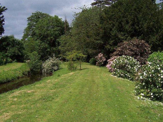
Gardens By Azerley Chase
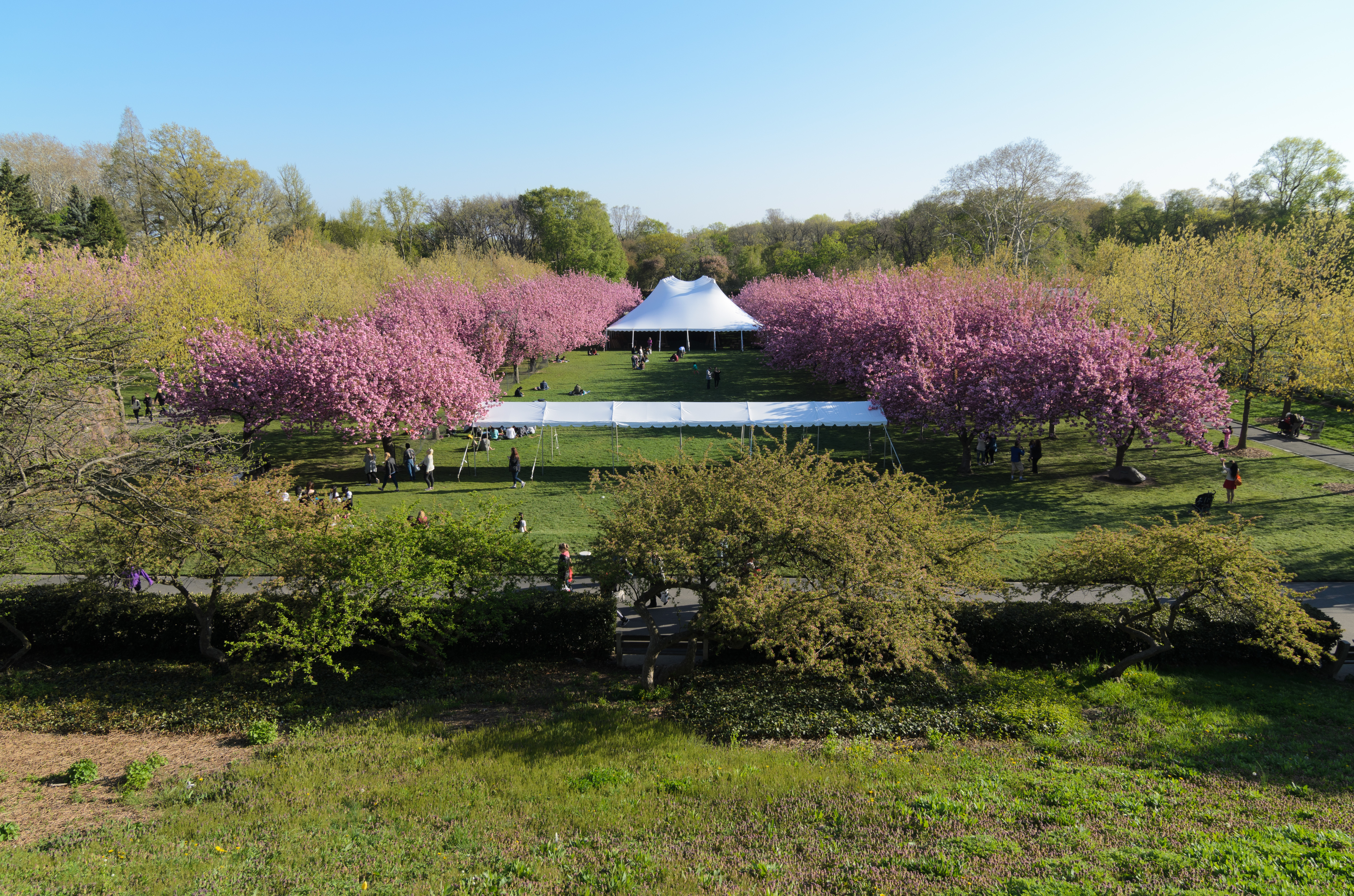
A garden is a planned space, usually outdoors, set aside for the cultivation, display, and enjoyment of plants and other forms of nature. The single feature identifying even the wildest wild garden is ''control''. The garden can incorporate both natural and artificial materials. Gardens often have design features including statuary, follies, pergolas, trellises, stumperies, dry creek beds, and water features such as fountains, ponds (with or without fish), waterfalls or creeks. Some gardens are for ornamental purposes only, while others also produce food crops, sometimes in separate areas, or sometimes intermixed with the ornamental plants. Food-producing gardens are distinguished from farms by their smaller scale, more labor-intensive methods, and their purpose (enjoyment of a pastime or self-sustenance rather than producing for sale, as in a market garden). Flower gardens combine plants of different heights, colors, textures, and fragrances to create interest and delight the ... [...More Info...] [...Related Items...] OR: [Wikipedia] [Google] [Baidu] |


