|
Assateague Island
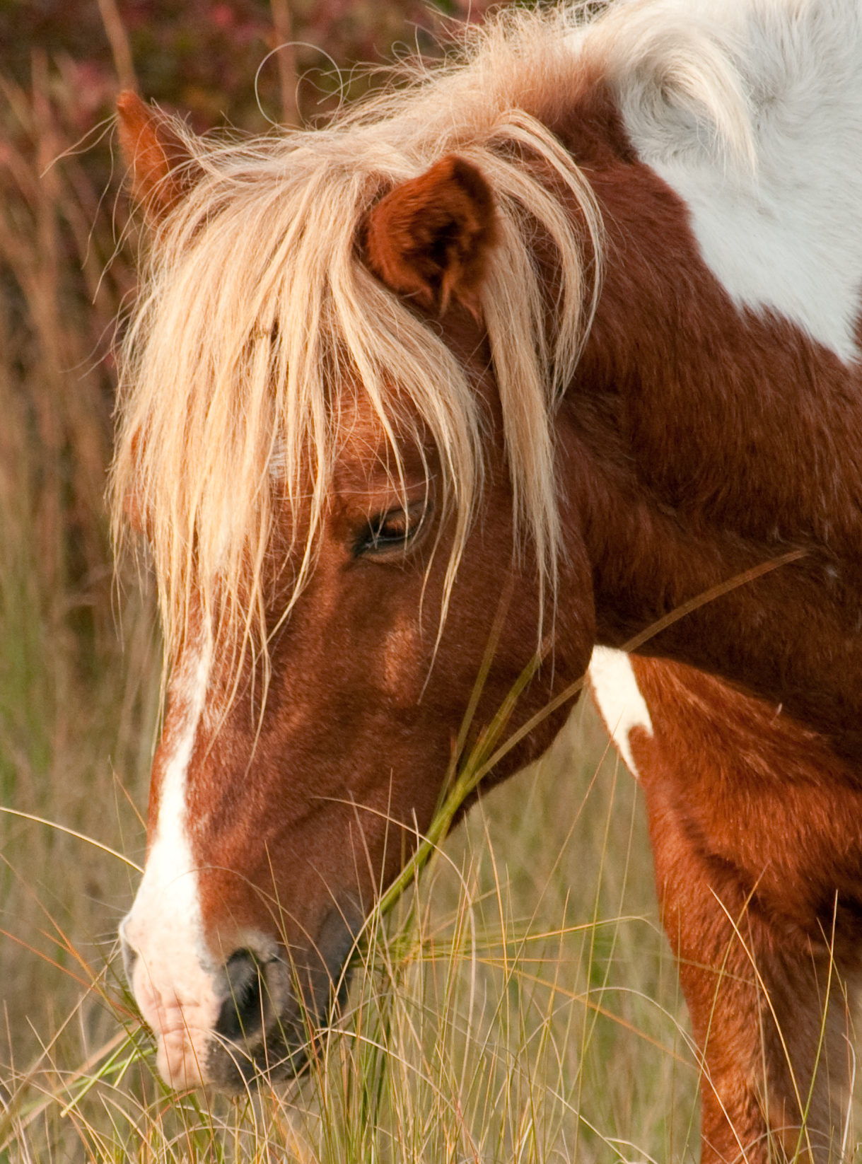
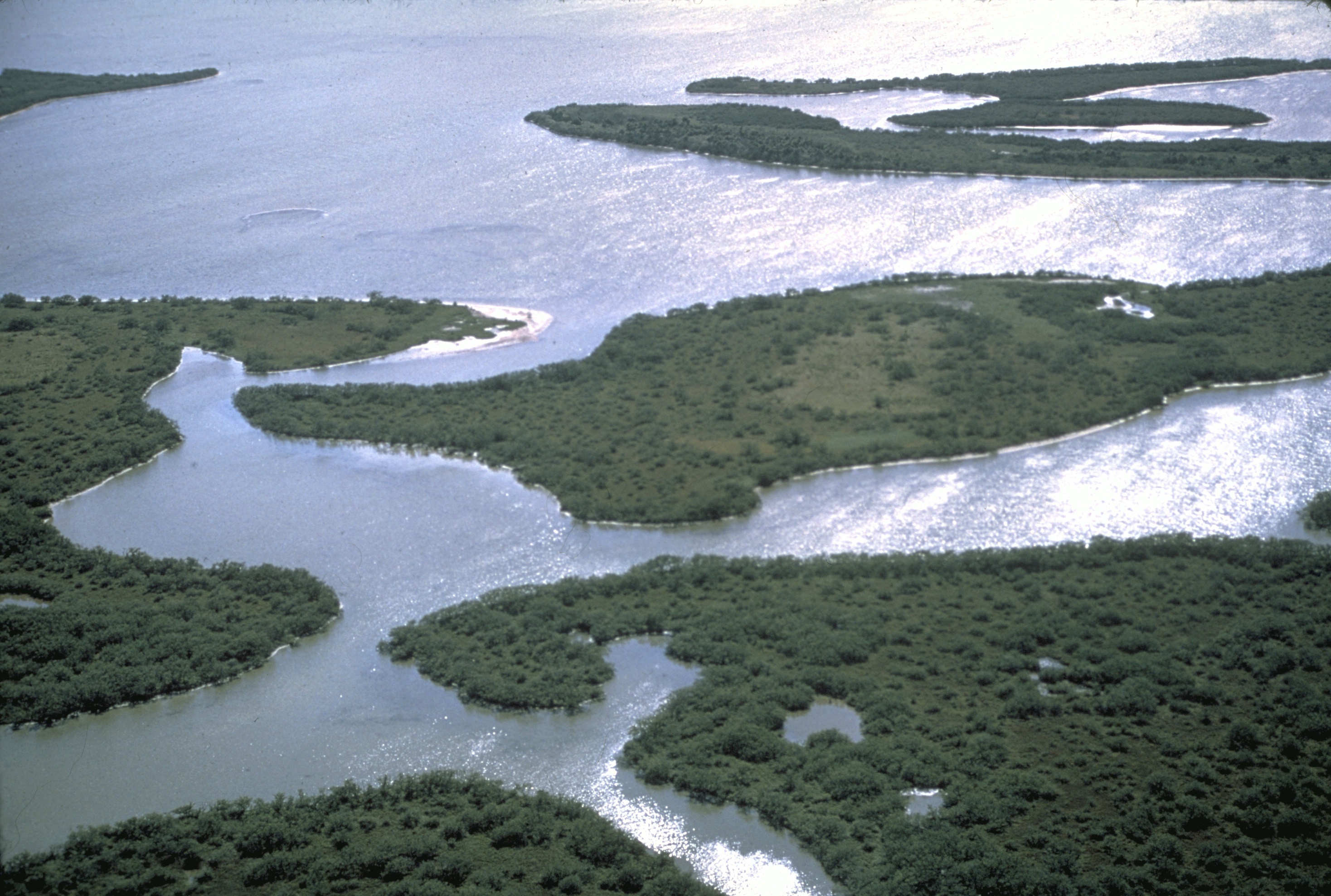
Assateague Island is a long barrier island located off the eastern coast of the Delmarva Peninsula facing the Atlantic Ocean. The northern two-thirds of the island are in Maryland, and the southern third is in Virginia. The entire island is designated as Assateague Island National Seashore, though management is shared by three entities. The Maryland section contains the majority of Assateague Island National Seashore and Assateague State Park. The Virginia section contains Chincoteague National Wildlife Refuge and a one-mile stretch of land containing the lifeguarded recreational beach and Heritage interpretation, interpretive facilities managed by the National Park Service (NPS). It is best known for its herds of Chincoteague Pony, feral horses, pristine beaches, and the Assateague Lighthouse. The island also contains numerous marshes, bays, and coves, including Toms Cove. Bridge access for cars is possible from both Maryland and Virginia, though no road runs the full north/ ... [...More Info...] [...Related Items...] OR: [Wikipedia] [Google] [Baidu] |
Ocean City, Maryland
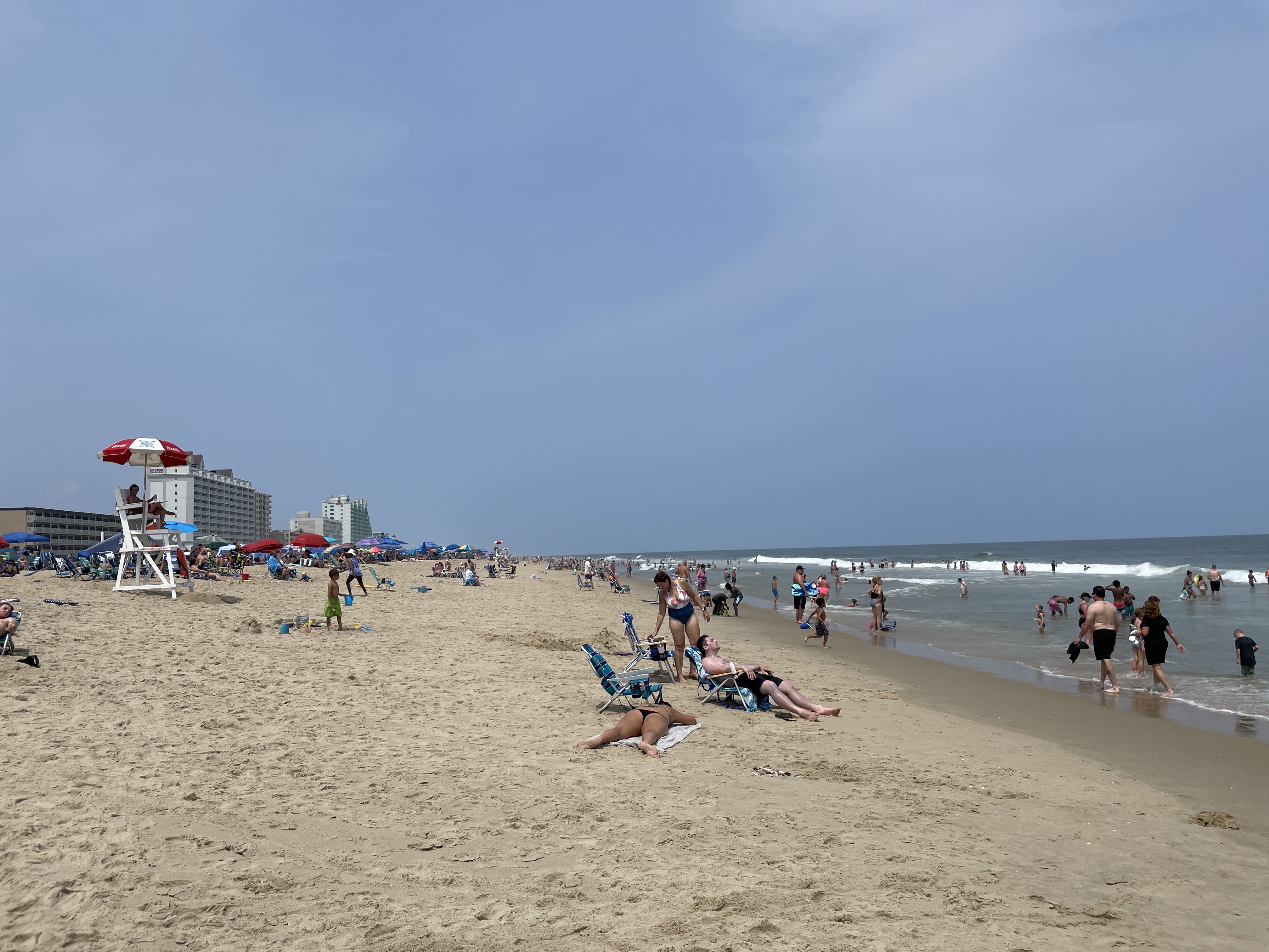
Ocean City, officially the Town of Ocean City, is an Atlantic Ocean, Atlantic resort city in Worcester County, Maryland, Worcester County, Maryland, along the East Coast of the United States. The population was 6,844 at the 2020 United States census, 2020 U.S. census, although during summer weekends the city hosts between 320,000 and 345,000 vacationers and up to eight million visitors annually. During the summer, Ocean City becomes the second most populated municipality in Maryland, after Baltimore. It is part of the Salisbury metropolitan area as defined by the United States Census Bureau. During peak vacation season, the city gains over 1000 seasonal police officers, plus extra firefighters and other workers. Numerous events take place within the town during the shoulder-season, including Sunfest, Springfest, Bike Week, Cruisin' Weekend, Winterfest of Lights, and Reach the Beach, which take place on the Boardwalk and the Roland E. Powell Convention Center. Ocean City is also ... [...More Info...] [...Related Items...] OR: [Wikipedia] [Google] [Baidu] |
Toms Cove
Toms Cove is an embayment on the southern end of Assateague Island in Virginia Virginia, officially the Commonwealth of Virginia, is a U.S. state, state in the Southeastern United States, Southeastern and Mid-Atlantic (United States), Mid-Atlantic regions of the United States between the East Coast of the United States ... with the mouth near Chincoteague Inlet.GMCO Maps & Charts. ''GMCO's Fishing & Recreation Map of Chincoteague-Assateague, Virginia'', 2003. A U.S. Coast Guard station was located there. Toms Cove also contains the Toms Cove Visitor Center run by the U.S. National Park Service. Notes Coves of the United States Bodies of water of Accomack County, Virginia Bays of Virginia {{AccomackCountyVA-geo-stub ... [...More Info...] [...Related Items...] OR: [Wikipedia] [Google] [Baidu] |
United States Fish And Wildlife Service
The United States Fish and Wildlife Service (USFWS or FWS) is a List of federal agencies in the United States, U.S. federal government agency within the United States Department of the Interior which oversees the management of fish, wildlife, and natural habitats in the United States. The mission of the agency is "working with others to conserve, protect, and enhance fish, wildlife, plants and their habitats for the continuing benefit of the American people." Among the responsibilities of the USFWS are enforcing federal wildlife laws; protecting endangered species; managing migratory birds; restoring nationally significant fisheries; conserving and restoring wildlife habitats, such as wetlands; helping foreign governments in international conservation efforts; and distributing money to fish and wildlife agencies of U.S. states through the Wildlife Sport Fish and Restoration Program. The vast majority of fish and wildlife habitats are on U.S. state, state or private land not co ... [...More Info...] [...Related Items...] OR: [Wikipedia] [Google] [Baidu] |
List Of Maryland State Parks
This list of Maryland state parks includes the state parks and state battlefields listed in the Maryland Department of Natural Resources's current acreage report. Generally, the Maryland Park Service, a unit of and under the authority of the Maryland Department of Natural Resources (DNR), is the governing body for these parks, although some have been turned over to local authorities. Maryland state parks Maryland state battlefields Maryland natural resources management areas Other Maryland state areas Former Maryland state parks *The former Jonas Green State Park was transferred to Anne Arundel County, Maryland, Anne Arundel County and became Jonas Green Park, Jonas and Anne Catharine Green Park. See also *List of National Park System areas in Maryland References External links State Park DirectoryMaryland Department of Natural Resources Maryland Manual On-Line, Maryland State Archives {{Maryland State parks of Maryland, Lists of state parks of the United S ... [...More Info...] [...Related Items...] OR: [Wikipedia] [Google] [Baidu] |
Ash Wednesday Storm Of 1962
The Ash Wednesday Storm of 1962 occurred on March 5–9, 1962 along the Atlantic Ocean, mid-Atlantic coast of the United States. Also known as the Great March Storm of 1962, it was considered by the U.S. Geological Survey to be one of the most destructive storms ever to affect the mid-Atlantic states. Classified as a level 5 or Extreme Nor'easter by the Dolan-Davis scale for classification of Atlantic Nor'easters it was one of the ten worst storms in the United States in the 20th century. It lingered through five high tides over a three-day period, killing 40 people, injuring over 1,000, and causing hundreds of millions in property damage in six states. The storm also deposited significant snowfall over the Southeastern United States, Southeast, with a regional snowfall index of 12.663. Meteorological history and naming On March 4, 1962, a large low-pressure area developed along a cold front off the southeast coast of the United States, with several ill-defined circulatio ... [...More Info...] [...Related Items...] OR: [Wikipedia] [Google] [Baidu] |
List Of United States National Lakeshores And Seashores
The United States has ten protected areas known as national seashores and three known as national lakeshores, which are public lands operated by the National Park Service (NPS), an agency of the Department of the Interior. National seashores and lakeshores are coastal areas federally designated by Congress as being of natural and recreational significance as a preserved area. All of the national lakeshores are on Lakes Michigan and Superior, and nine of the ten national seashores are on the Atlantic Ocean, including two on the Gulf of Mexico. Point Reyes is the only national seashore on the Pacific coast. While all of these protected sites have extensive beaches for recreation, they extend inland to include other natural resources like wetlands and marshes, forests, lakes and lagoons, and dunes. Many also feature historic lighthouses and estates. National seashores are located in ten states and national lakeshores are in two other states. Florida, North Carolina, and Michi ... [...More Info...] [...Related Items...] OR: [Wikipedia] [Google] [Baidu] |
Federal Government Of The United States
The Federal Government of the United States of America (U.S. federal government or U.S. government) is the Federation#Federal governments, national government of the United States. The U.S. federal government is composed of three distinct branches: United States Congress, legislative, President of the United States, executive, and Federal judiciary of the United States, judicial. Powers of these three branches are defined and vested by the Constitution of the United States, U.S. Constitution, which has been in continuous effect since May 4, 1789. The powers and duties of these branches are further defined by Act of Congress, Acts of Congress, including the creation of United States federal executive departments, executive departments and courts subordinate to the Supreme Court of the United States, U.S. Supreme Court. In the Federalism in the United States, federal division of power, the federal government shares sovereignty with each of the 50 states in their respective t ... [...More Info...] [...Related Items...] OR: [Wikipedia] [Google] [Baidu] |
Baltimore Sun
''The Baltimore Sun'' is the largest general-circulation daily newspaper based in the U.S. state of Maryland and provides coverage of local, regional, national, and international news. Founded in 1837, the newspaper was owned by Tribune Publishing until May 2021, when it was acquired by Alden Global Capital, which operates its media properties through Digital First Media. David D. Smith, the executive chairman of Sinclair Broadcast Group, closed a deal to buy the paper on January 15, 2024. History 19th century ''The Sun'' was founded on May 17, 1837, by Arunah Shepherdson Abell and two associates, William Moseley Swain from Rhode Island, and Azariah H. Simmons from Philadelphia, where they had started and published the '' Public Ledger'' the year before. Abell became a journalist with the ''Providence Patriot'' and later worked with newspapers in New York City and Boston.Van Doren, Charles and Robert McKendry, ed., ''Webster's American Biographies''. (Springfield, Massachu ... [...More Info...] [...Related Items...] OR: [Wikipedia] [Google] [Baidu] |
Littoral Drift
Longshore drift from longshore current is a geological process that consists of the transportation of sediments (clay, silt, pebbles, sand, shingle, shells) along a coast parallel to the shoreline, which is dependent on the angle of incoming wave direction. Oblique incoming wind squeezes water along the coast, generating a water current that moves parallel to the coast. Longshore drift is simply the sediment moved by the longshore current. This current and sediment movement occurs within the surf zone. The process is also known as littoral drift. Beach sand is also moved on such oblique wind days, due to the swash and backwash of water on the beach. Breaking surf sends water up the coast (swash) at an oblique angle and gravity then drains the water straight downslope (backwash) perpendicular to the shoreline. Thus beach sand can move downbeach in a sawtooth fashion many tens of meters (yards) per day. This process is called "beach drift", but some workers regard it as simp ... [...More Info...] [...Related Items...] OR: [Wikipedia] [Google] [Baidu] |
Inlet
An inlet is a typically long and narrow indentation of a shoreline such as a small arm, cove, bay, sound, fjord, lagoon or marsh, that leads to an enclosed larger body of water such as a lake, estuary, gulf or marginal sea. Overview In marine geography, the term "inlet" usually refers to either the actual channel between an enclosed bay and the open ocean and is often called an "entrance", or a significant recession in the shore of a sea, lake or large river. A certain kind of inlet created by past glaciation is a fjord, typically but not always in mountainous coastlines and also in montane lakes. Multi-arm complexes of large inlets or fjords may be called sound In physics, sound is a vibration that propagates as an acoustic wave through a transmission medium such as a gas, liquid or solid. In human physiology and psychology, sound is the ''reception'' of such waves and their ''perception'' by the br ...s, e.g., Puget Sound, Howe Sound, Karmsund (' ... [...More Info...] [...Related Items...] OR: [Wikipedia] [Google] [Baidu] |
1933 Chesapeake–Potomac Hurricane
The 1933 Chesapeake–Potomac hurricane was among the most damaging hurricanes in the Mid-Atlantic states in the eastern United States. The sixth storm and third hurricane of the very active 1933 Atlantic hurricane season, it formed in the eastern Atlantic, where it moved west-northwestward and eventually became a Category 4 on the Saffir-Simpson hurricane wind scale. A strong ridge over New England allowed a continued northwest course, bringing the storm south of Bermuda and later toward the middle coast of the eastern United States. Advanced warning allowed hundreds of people to evacuate ahead of the hurricane making landfall. It did so in northeastern North Carolina on August 23 with winds of about . Soon after, the eye crossed over Norfolk, Virginia, the first time that happened since 1821. The hurricane weakened into a tropical storm over northern Virginia shortly before passing near Washington, D.C., becoming the worst tropical cyclone there since 1896. Curving nort ... [...More Info...] [...Related Items...] OR: [Wikipedia] [Google] [Baidu] |
Fenwick Island (Delaware–Maryland)
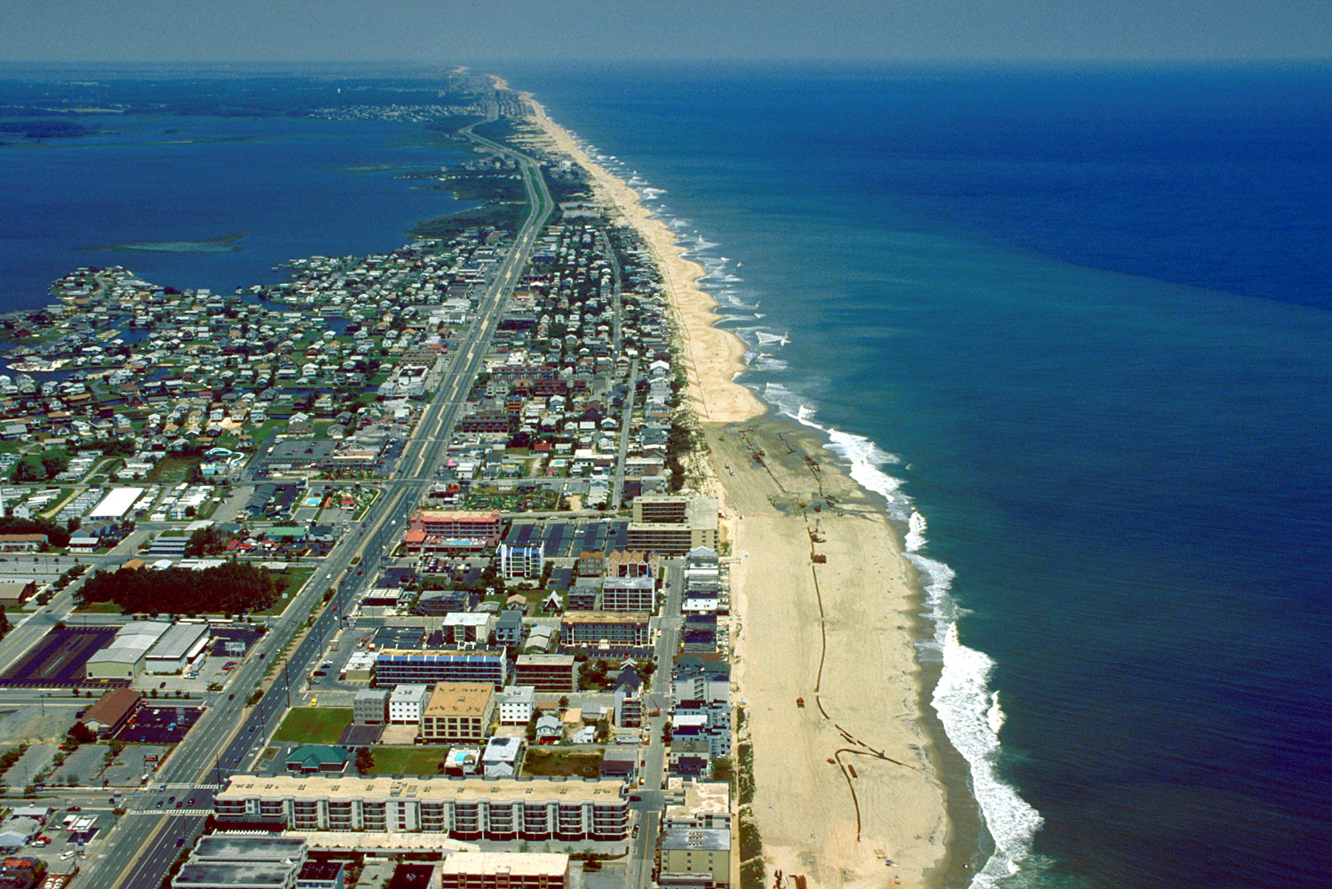
Fenwick Island is a barrier island along the Atlantic Ocean in Delaware and Maryland in the United States. It contains the communities of South Bethany and Fenwick Island in Delaware along with Ocean City, Maryland. Until 1933, it was attached to Assateague Island to the south. That year, a hurricane carved an inlet between the two landforms, which was made permanent. If not for the Assawoman Canal, constructed by the U.S. Army Corps of Engineers The United States Army Corps of Engineers (USACE) is the military engineering branch of the United States Army. A direct reporting unit (DRU), it has three primary mission areas: Engineer Regiment, military construction, and civil wor ... in 1891, the island would be attached to the mainland of Delaware. References Barrier islands of Delaware Barrier islands of Maryland Landforms of Sussex County, Delaware Landforms of Worcester County, Maryland Spits of the United States Islands of Maryland {{Wo ... [...More Info...] [...Related Items...] OR: [Wikipedia] [Google] [Baidu] |


