|
Varsora
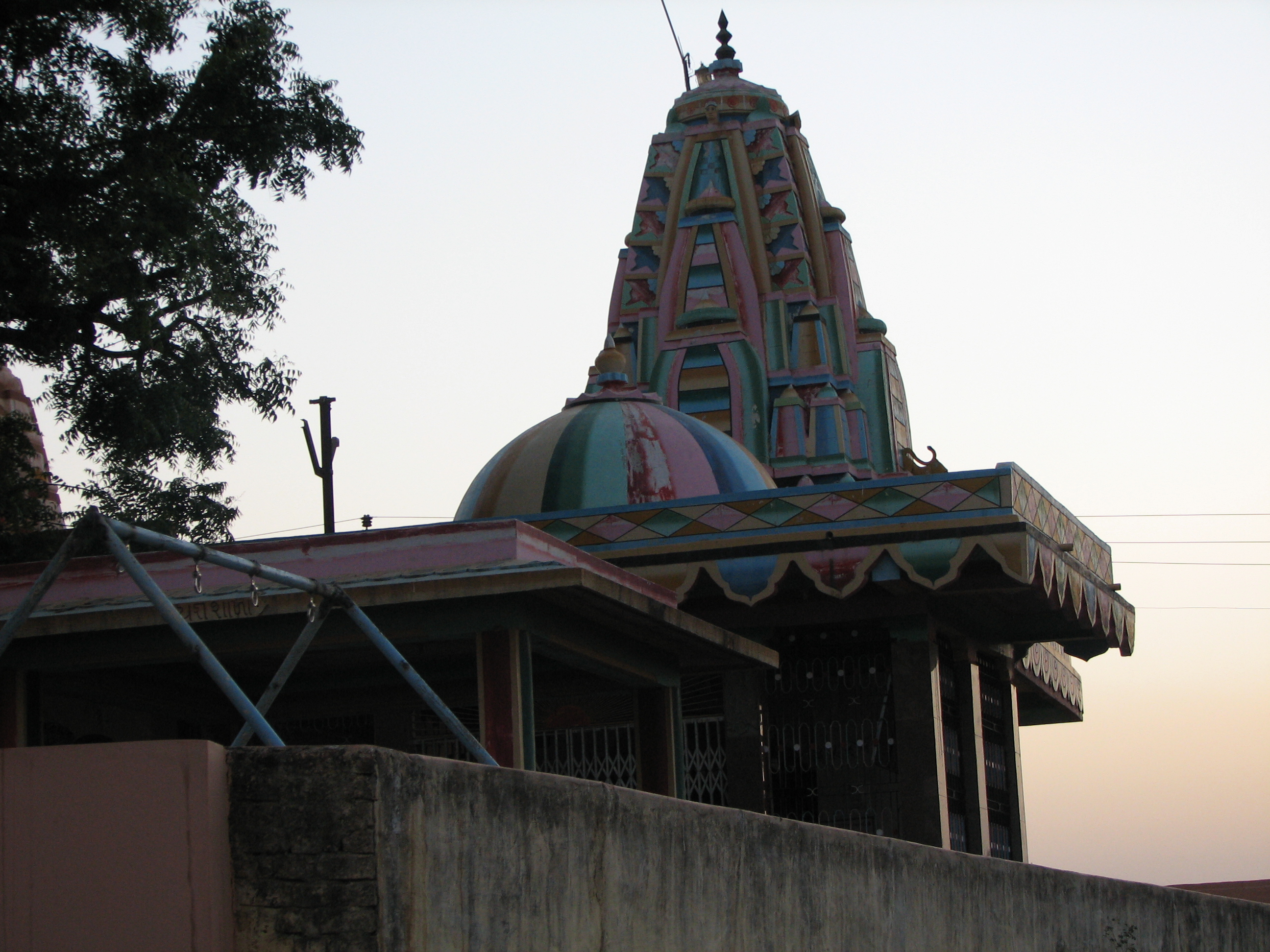
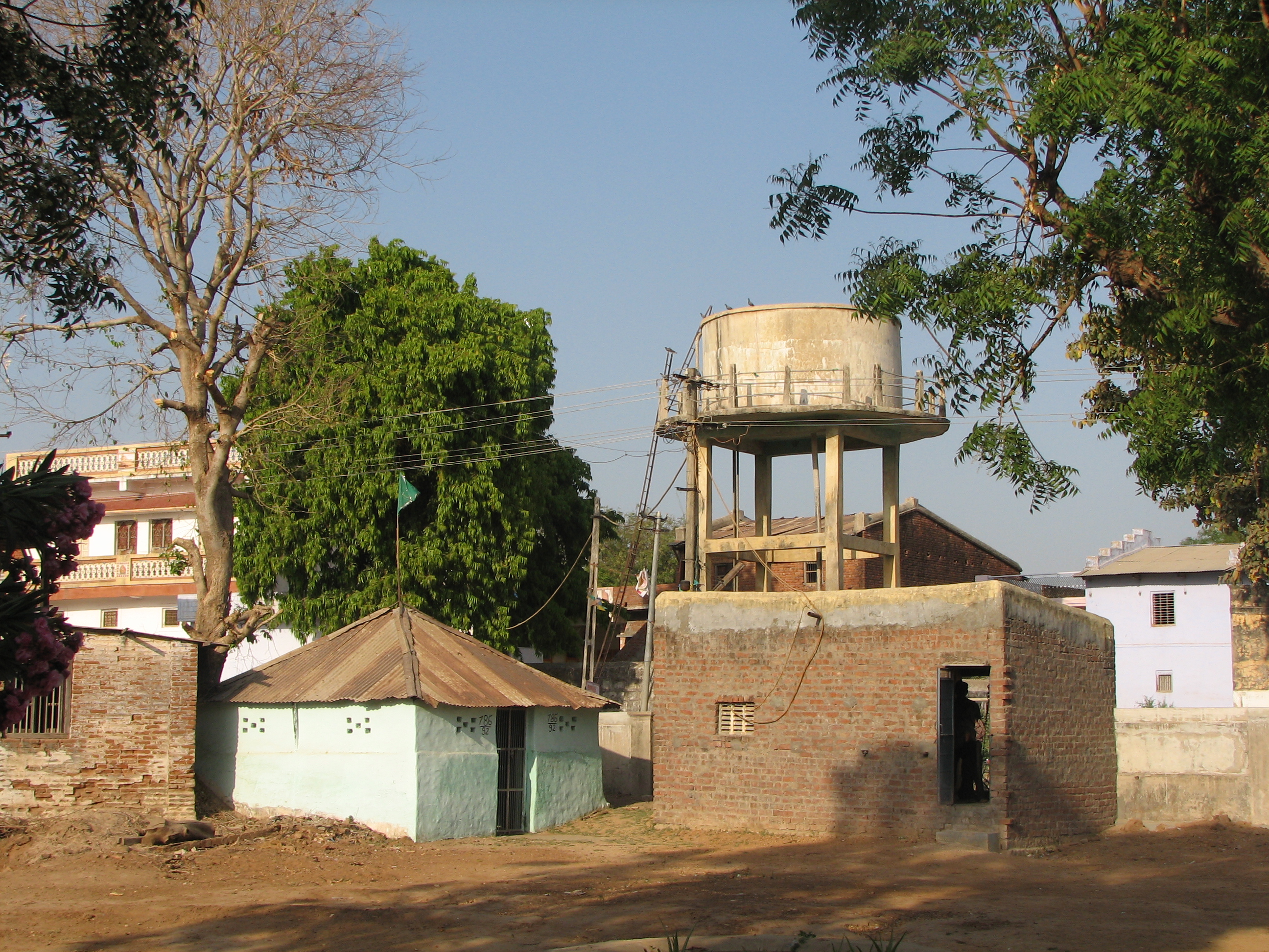
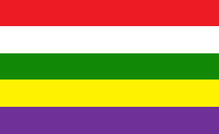
Varsoda is a small village located in Mansa, Gujarat, on the bank of the Sabarmati River, formerly the seat of an eponymous Rajput princely state. It is approximately from Gandhinagar, the state capital of Gujarat. History Varsoda (or Varsora) was a Hindu princely state in Mahi Kantha with an area of 28 square kilometers km2 (11 square miles) before Indian Independence (1947). It had a population of 4,051 in 1892, 3,656 in 1901, yielding 18,871 rupees sate revenue (1903-4, mainly from land), and paying 1,583 rupees tribute to the Gaekwar Baroda State. Rulers * Thakur Gambhirsinhji * Thakur Motisinhji -/1858 * Thakur Kishorsinhji Motisinhji, born 15 October 1840, succeeded 4 March 1858, died 18 July 1919 * Thakur Joravarsinhji, born 17 April 1914 and succeeded 18 July 1919. The state ceased to exist on 10 June 1948 by accession to Bombay State Bombay State was a large Indian state created at the time of India's Independence, with other regions being added to i ... [...More Info...] [...Related Items...] OR: [Wikipedia] [Google] [Baidu] |
Baroda State
Baroda State was a state in present-day Gujarat, ruled by the Gaekwad dynasty of the Maratha Confederacy from its formation in 1721 until its accession to the newly formed Dominion of India in 1949. With the city of Baroda (Vadodara) as its capital, during the British Raj its relations with the British were managed by the Baroda Residency. The revenue of the state in 1901 was Rs. 13,661,000. Baroda formally acceded to the Dominion of India, on 1 May 1949, prior to which an interim government was formed in the state. History Early history Baroda derives its native name ''Vadodara'' from the Sanskrit word ''vatodara'', meaning 'in the heart of the Banyan (''Vata'') tree. It also has another name, ''Virakshetra'' or ''Virawati'' (land of warriors), mentioned alongside ''Vadodara'' by the 17th century Gujarati poet Premanand Bhatt, native to the city. Its name has been mentioned as ''Brodera'' by early English travellers and merchants, from which its later name Baroda was ... [...More Info...] [...Related Items...] OR: [Wikipedia] [Google] [Baidu] |
Varsoda Entry
Varsoda is a small village located in Mansa, Gujarat, on the bank of the Sabarmati River, formerly the seat of an eponymous Rajput princely state. It is approximately from Gandhinagar, the state capital of Gujarat. History Varsoda (or Varsora) was a Hindu princely state in Mahi Kantha with an area of 28 square kilometers km2 (11 square miles) before Indian Independence (1947). It had a population of 4,051 in 1892, 3,656 in 1901, yielding 18,871 rupees sate revenue (1903-4, mainly from land), and paying 1,583 rupees tribute to the Gaekwar Baroda State. Rulers * Thakur Gambhirsinhji * Thakur Motisinhji -/1858 * Thakur Kishorsinhji Motisinhji, born 15 October 1840, succeeded 4 March 1858, died 18 July 1919 * Thakur Joravarsinhji, born 17 April 1914 and succeeded 18 July 1919. The state ceased to exist on 10 June 1948 by accession to Bombay State Bombay State was a large Indian state created at the time of India's Independence, with other regions being added to i ... [...More Info...] [...Related Items...] OR: [Wikipedia] [Google] [Baidu] |
Mansa, Gujarat
Mansa is a town with municipality and former princely state, in Gandhinagar district in the western Indian state of Gujarat. History During the British raj, Mansa was a Third class non-salute state under the Mahi Kantha Agency. It ceased to exist after the Indian independence by accession on 10 June 1948. Ruling Raols * Geography Mansa is located at 23.43°N 72.67°E. It has an average elevation of 94 metres (308 feet). Demographics India census, Mansa had a population of 27,922. Males constitute 52% of the population and females 48%. Mansa has an average literacy rate of 69%, higher than the national average of 59.5%: male literacy is 75%, and female literacy is 63%. In Mansa, 12% of the population is under 6 years of age.Mansa is also the home town of famous politician and home minister of India Amit Shah Places of interest There is an ancient stepwell in the town. It is 5.40 in diameter. There are idols of Amba and Bhairava in niches. There is an i ... [...More Info...] [...Related Items...] OR: [Wikipedia] [Google] [Baidu] |
Gujarat
Gujarat (, ) is a state along the western coast of India. Its coastline of about is the longest in the country, most of which lies on the Kathiawar peninsula. Gujarat is the fifth-largest Indian state by area, covering some ; and the ninth-most populous state, with a population of 60.4 million. It is bordered by Rajasthan to the northeast, Dadra and Nagar Haveli and Daman and Diu to the south, Maharashtra to the southeast, Madhya Pradesh to the east, and the Arabian Sea and the Pakistani province of Sindh to the west. Gujarat's capital city is Gandhinagar, while its largest city is Ahmedabad. The Gujaratis are indigenous to the state and their language, Gujarati, is the state's official language. The state encompasses 23 sites of the ancient Indus Valley civilisation (more than any other state). The most important sites are Lothal (the world's first dry dock), Dholavira (the fifth largest site), and Gola Dhoro (where 5 uncommon seals were found). Lothal i ... [...More Info...] [...Related Items...] OR: [Wikipedia] [Google] [Baidu] |
Rajput
Rajput (from Sanskrit ''raja-putra'' 'son of a king') is a large multi-component cluster of castes, kin bodies, and local groups, sharing social status and ideology of genealogical descent originating from the Indian subcontinent. The term Rajput covers various patrilineal clans historically associated with warriorhood: several clans claim Rajput status, although not all claims are universally accepted. According to modern scholars, almost all Rajput clans originated from peasant or pastoral communities. Over time, the Rajputs emerged as a social class comprising people from a variety of ethnic and geographical backgrounds. During the 16th and 17th centuries, the membership of this class became largely hereditary, although new claims to Rajput status continued to be made in the later centuries. Several Rajput-ruled kingdoms played a significant role in many regions of central and northern India from seventh century onwards. The Rajput population and the former Rajput stat ... [...More Info...] [...Related Items...] OR: [Wikipedia] [Google] [Baidu] |
Gandhinagar
Gandhinagar (, ) is the capital of the state of Gujarat in India. Gandhinagar is located approximately 23 km north of Ahmedabad, on the west central point of the Industrial corridor between Delhi, the political capital of India, and Mumbai, the financial capital of India. Gandhinagar lies on the west bank of the Sabarmati River, about 545 km (338 miles) north of Mumbai and 901 km (560 miles) southwest of Delhi. The Akshardham temple is located in Gandhinagar. There was a determination to make Gandhinagar a purely Indian enterprise, partly because the state of Gujarat was the birthplace of Mahatma Gandhi. For this reason, the planning was done by two Indian town planners: Prakash M Apte and H. K. Mewada, who had apprenticed with Le Corbusier in Chandigarh. History The city was planned by Chief Architect H.K. Mewada, a Cornell University graduate, and his assistant Prakash M Apte. Demographics census of India, Gandhinagar had a population of 208,299. Males c ... [...More Info...] [...Related Items...] OR: [Wikipedia] [Google] [Baidu] |
Princely State
A princely state (also called native state or Indian state) was a nominally sovereign entity of the British Indian Empire that was not directly governed by the British, but rather by an Indian ruler under a form of indirect rule, subject to a subsidiary alliance and the suzerainty or paramountcy of the British crown. There were officially 565 princely states when India and Pakistan became independent in 1947, but the great majority had contracted with the viceroy to provide public services and tax collection. Only 21 had actual state governments, and only four were large ( Hyderabad State, Mysore State, Jammu and Kashmir State, and Baroda State). They acceded to one of the two new independent nations between 1947 and 1949. All the princes were eventually pensioned off. At the time of the British withdrawal, 565 princely states were officially recognised in the Indian subcontinent, apart from thousands of zamindari estates and jagirs. In 1947, princely states covered ... [...More Info...] [...Related Items...] OR: [Wikipedia] [Google] [Baidu] |
Mahi Kantha
Mahi Kantha was a political agency or collection of princely states in British India, within the Gujarat Division of Bombay Presidency. In 1933, the states of the Mahi Kantha Agency, except for Danta, were included in the Western India States Agency. The total area of the agency was ; the population in 1901 was 361,545. History The states came within the British sphere of influence after the Second Anglo-Maratha War of 1803–1805. In 1811, when the Maratha power was declining, the British Government stipulated to collect and pay over to the ruler of Baroda the yearly tribute of the Mahi Kantha states. In 1820 they finally took over the management of the whole territory, agreeing to collect and pay over the tribute free of expense to Baroda, while Baroda was pledged not to send troops into the country, or in any way to interfere with the administration. After a few disturbances in the 1830s, in 1857-58 and 1867, peace remained unbroken in the region until 1881, when the Bhils ... [...More Info...] [...Related Items...] OR: [Wikipedia] [Google] [Baidu] |
Partition Of India
The Partition of British India in 1947 was the change of political borders and the division of other assets that accompanied the dissolution of the British Raj in South Asia and the creation of two independent dominions: India and Pakistan. The Dominion of India is today the Republic of India, and the Dominion of Pakistan—which at the time comprised two regions lying on either side of India—is now the Islamic Republic of Pakistan and the People's Republic of Bangladesh. The partition was outlined in the Indian Independence Act 1947. The change of political borders notably included the division of two provinces of British India, Bengal and Punjab. The majority Muslim districts in these provinces were awarded to Pakistan and the majority non-Muslim to India. The other assets that were divided included the British Indian Army, the Royal Indian Navy, the Royal Indian Air Force, the Indian Civil Service, the railways, and the central treasury. Self-governing independent ... [...More Info...] [...Related Items...] OR: [Wikipedia] [Google] [Baidu] |
Bombay State
Bombay State was a large Indian state created at the time of India's Independence, with other regions being added to it in the succeeding years. Bombay Presidency (roughly equating to the present-day Indian state of Maharashtra, excluding South Maharashtra and Vidarbha) was merged with the princely states of Baroda, Western India and Gujarat (the present-day Indian state of Gujarat) and the Deccan States (which included parts of the present-day Indian states of Maharashtra and Karnataka). On 1 November 1956, Bombay State was re-organized under the States Reorganisation Act on linguistic lines, absorbing various territories including the Saurashtra and Kutch States, which ceased to exist. On 1 May 1960, Bombay State was dissolved and split on linguistic lines into the two states of Gujarat, with Gujarati speaking population and Maharashtra, with Marathi speaking population. History During the British Raj, portions of the western coast of India under direct British ru ... [...More Info...] [...Related Items...] OR: [Wikipedia] [Google] [Baidu] |


