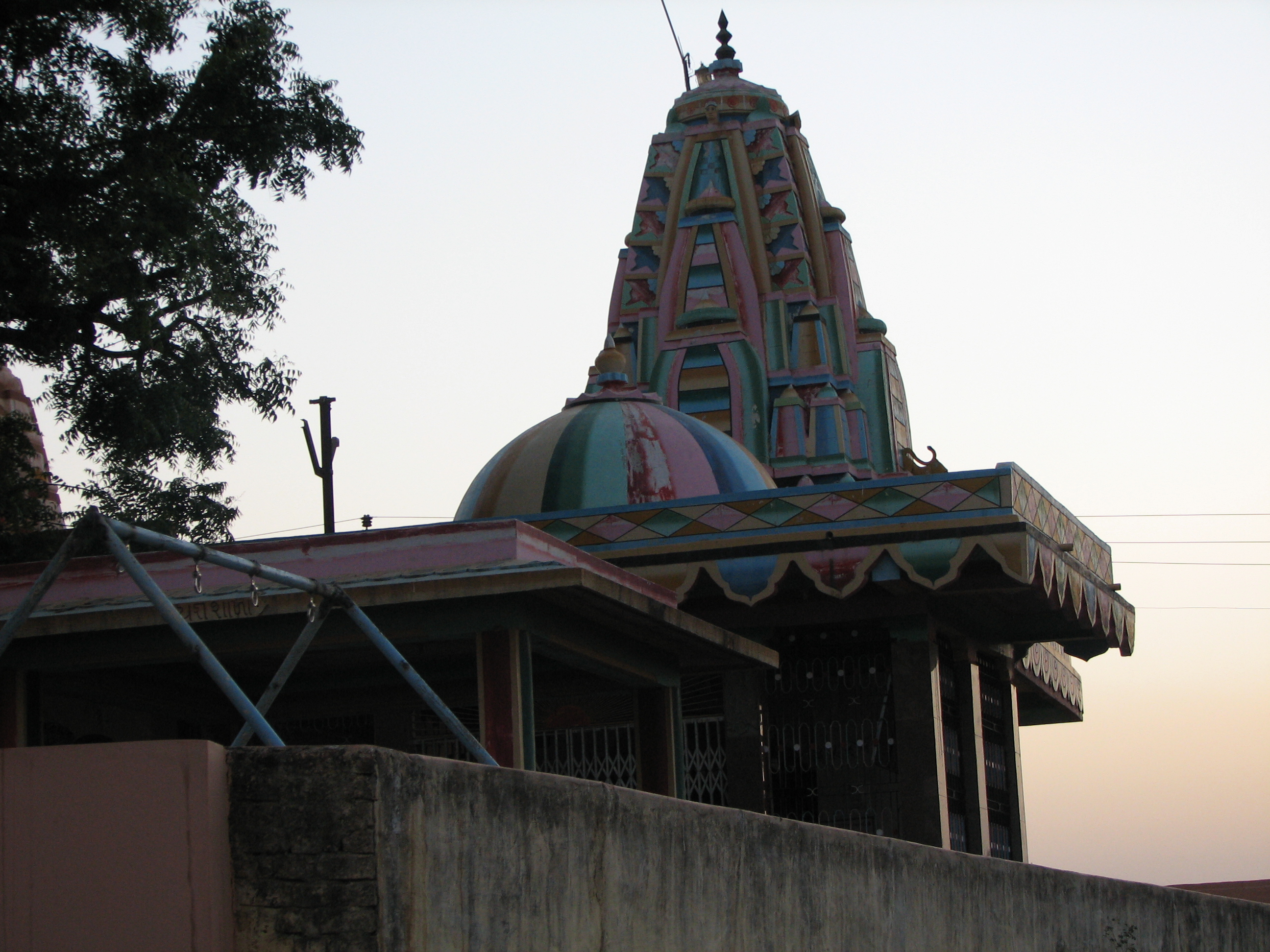
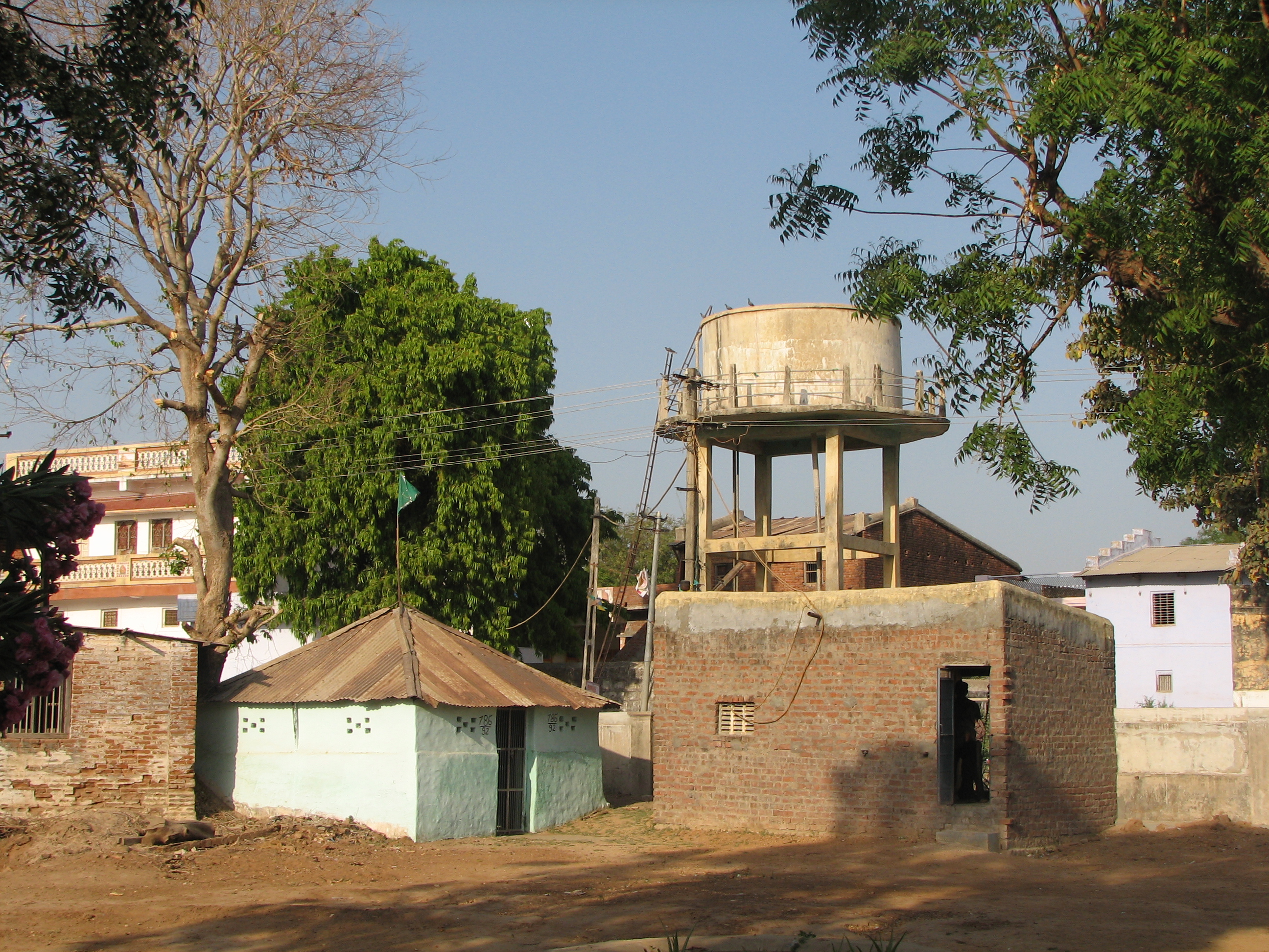
Varsoda Entry on:
[Wikipedia]
[Google]
[Amazon]
Varsoda is a small village located in Mansa,

 Varsoda (or Varsora) was a Hindu
Imperial Gazetteer, o DSAL - Mahi Kantha
{{Princely states of the Western India States Agency Villages in Gandhinagar district
Gujarat
Gujarat (, ) is a state along the western coast of India. Its coastline of about is the longest in the country, most of which lies on the Kathiawar peninsula. Gujarat is the fifth-largest Indian state by area, covering some ; and the ninth ...
, on the bank of the Sabarmati River, formerly the seat of an eponymous Rajput
Rajput (from Sanskrit ''raja-putra'' 'son of a king') is a large multi-component cluster of castes, kin bodies, and local groups, sharing social status and ideology of genealogical descent originating from the Indian subcontinent. The term Ra ...
princely state. It is approximately from Gandhinagar, the state capital of Gujarat.
History

 Varsoda (or Varsora) was a Hindu
 princely state
A princely state (also called native state or Indian state) was a nominally sovereign entity of the British Indian Empire that was not directly governed by the British, but rather by an Indian ruler under a form of indirect rule, subject to ...
in Mahi Kantha with an area of 28 square kilometers km2 (11 square miles) before Indian Independence (1947). It had a population of 4,051 in 1892, 3,656 in 1901, yielding 18,871 rupees sate revenue (1903-4, mainly from land), and paying 1,583 rupees tribute to the Gaekwar Baroda State
Baroda State was a state in present-day Gujarat, ruled by the Gaekwad dynasty of the Maratha Confederacy from its formation in 1721 until its accession to the newly formed Dominion of India in 1949. With the city of Baroda (Vadodara) as its ...
.
Rulers
* Thakur Gambhirsinhji * Thakur Motisinhji -/1858 * Thakur Kishorsinhji Motisinhji, born 15 October 1840, succeeded 4 March 1858, died 18 July 1919 * Thakur Joravarsinhji, born 17 April 1914 and succeeded 18 July 1919. The state ceased to exist on 10 June 1948 by accession toBombay State
Bombay State was a large Indian state created at the time of India's Independence, with other regions being added to it in the succeeding years. Bombay Presidency (roughly equating to the present-day Indian state of Maharashtra, excluding So ...
.
References
External links and sources
Imperial Gazetteer, o DSAL - Mahi Kantha
{{Princely states of the Western India States Agency Villages in Gandhinagar district