|
Ontario Highway 7
King's Highway 7, commonly referred to as Highway 7 and historically as the Northern Highway, is a provincially maintained highway in the Canadian province of Ontario. At its peak, Highway 7 measured in length, stretching from Highway 40 east of Sarnia in Southwestern Ontario to Highway 17 west of Ottawa in Eastern Ontario. However, due in part to the construction of Highways 402 and 407, the province transferred the sections of Highway 7 west of London and through the Greater Toronto Area to county and regional jurisdiction. The highway is now long; the western segment begins at Highway 4 north of London and extends to Georgetown, while the eastern segment begins at Donald Cousens Parkway in Markham and extends to Highway 417 in Ottawa. Highway 7 was first designated in 1920 between Sarnia and Guelph and extended to Brampton the following year. Between 1927 and 1932, the highway was more than doubled in length as it was gradually ... [...More Info...] [...Related Items...] OR: [Wikipedia] [Google] [Baidu] |
Regional Municipality Of Halton
The Regional Municipality of Halton, or Halton Region, is a regional municipality in Ontario, Canada, located in the Golden Horseshoe of Southern Ontario. It comprises the city of Burlington and the towns of Oakville, Milton, and Halton Hills. Policing in the Region is provided by the Halton Regional Police Service. The regional council's headquarters are located in Oakville. Burlington and Oakville are largely urban and suburban, while the towns of Milton and Halton Hills are more rural. Halton is part of the Greater Toronto Area (GTA), although it is the only regional municipality in the GTA that is not situated directly adjacent to Toronto’s city proper. However, the region is split between the census metropolitan areas (CMAs) of Toronto and Hamilton. Burlington is part of the Hamilton CMA, while the rest of the region is part of the Toronto CMA. Halton experienced a growth rate of 17.1% between 2001 and 2006, and 14.2% between 2006 and 2011, giving it one of the hi ... [...More Info...] [...Related Items...] OR: [Wikipedia] [Google] [Baidu] |
Waterloo, Ontario
Waterloo is a city in the Canadian province of Ontario. It is one of three cities in the Regional Municipality of Waterloo (formerly Waterloo County). Waterloo is situated about west-southwest of Toronto. Due to the close proximity of the city of Kitchener to Waterloo, the two together are often referred to as "Kitchener–Waterloo", "K-W" or "The Twin Cities". While several unsuccessful attempts to combine the municipalities of Kitchener and Waterloo have been made, following the 1973 establishment of the Region of Waterloo, less motivation to do so existed, and as a result, Waterloo remains an independent city. At the time of the 2021 census, the population of Waterloo was 121,436. History Indigenous peoples and settlement According to the city, indigenous peoples lived in its area, including the Iroquois, Anishinaabe and Neutral Nation. After the end of the American Revolution, Joseph Brant, a Mohawk war chief, wanted Frederick Haldimand to give the Mohawk and ... [...More Info...] [...Related Items...] OR: [Wikipedia] [Google] [Baidu] |
Perth, Ontario
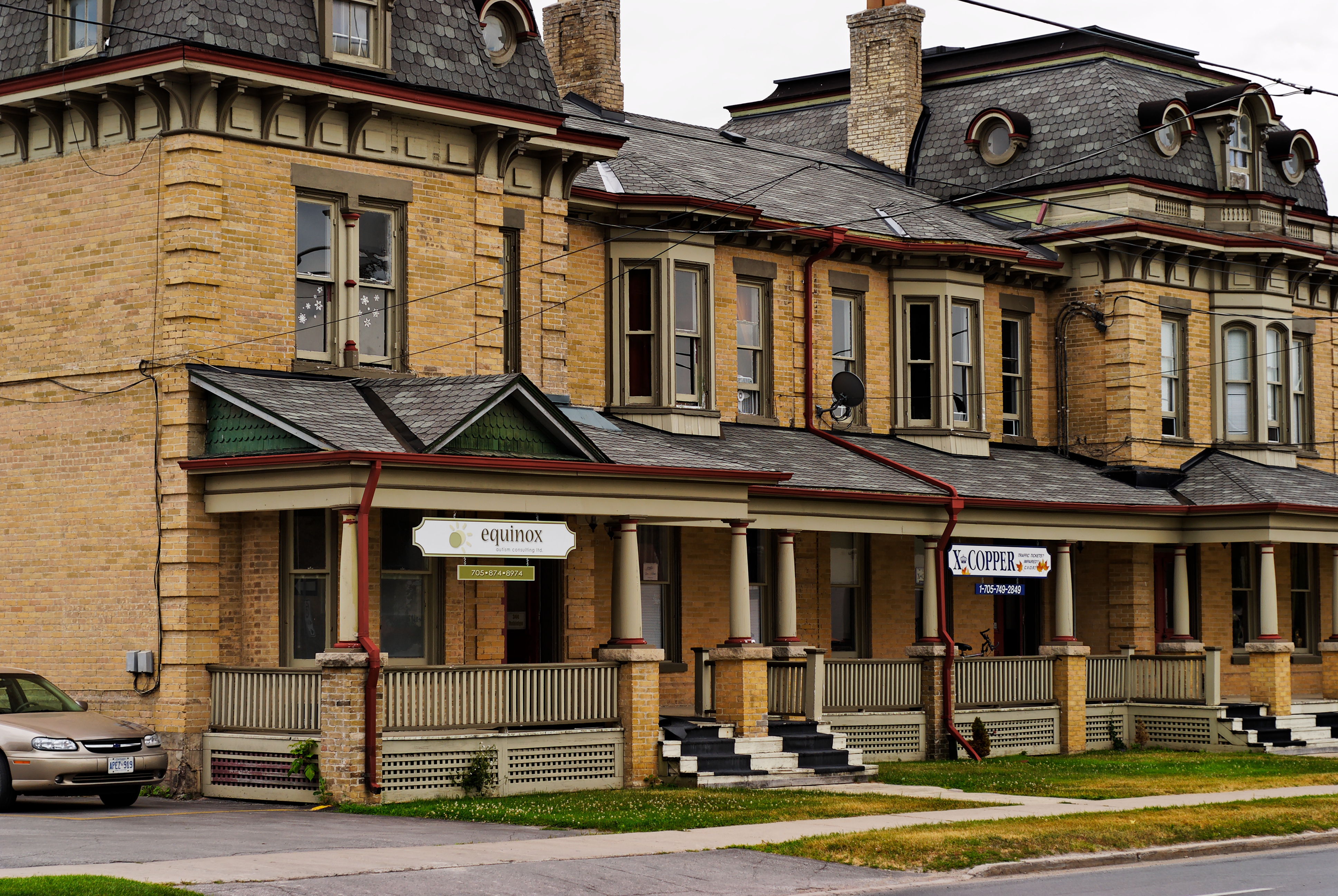
Perth is a town in Eastern Ontario, Canada. It is located on the Tay River, southwest of Ottawa, and is the seat of Lanark County. History The town was established as a military settlement in 1816, shortly after the War of 1812. The settlement of Lanark County began in 1815. In that year "the Settlement forming on the Rideau River" as it was officially referred to (and which soon became known as "Perth Military Settlement") began to function under Military direction. The settlement was named Perth in honour of acting Governor-General Sir Gordon Drummond, whose ancestral home was Perthshire. Several townships were surveyed to facilitate the location of farms for military and other settlers; and the site of the future Town of Perth, which had been chosen as the headquarters of the Military Establishment was surveyed in 1816. Many of the first settlers were military veterans on half pay, while others were military veterans from France, Germany, Poland, Italy, Scotland or Irela ... [...More Info...] [...Related Items...] OR: [Wikipedia] [Google] [Baidu] |
Lindsay, Ontario
Lindsay is a community of 22 367 people ( 2021 census) on the Scugog River in the Kawartha Lakes region of south-eastern Ontario, Canada. It is approximately west of Peterborough. It is the seat of the City of Kawartha Lakes (formerly Victoria County), and the hub for business and commerce in the region. History The Township of Ops was surveyed in 1825 by Colonel Duncan McDonell, and Lots 20 and 21 in the 5th Concession were reserved for a town site. The same year settlers began to come to the region, and by 1827, the Purdys, an American family, built a dam on the Scugog River at the site of present-day Lindsay. The following year they built a sawmill, and in 1830, a grist mill was constructed. A small village grew up around the mills, and it was known as Purdy's Mills. In 1834, surveyor John Huston plotted the designated town site into streets and lots. During the survey, one of Huston's assistants, Mr. Lindsay, was accidentally shot in the leg and died of an infection. ... [...More Info...] [...Related Items...] OR: [Wikipedia] [Google] [Baidu] |
Whitby, Ontario
Whitby is a town in Durham Region. Whitby is located in Southern Ontario east of Ajax and west of Oshawa, on the north shore of Lake Ontario and is home to the headquarters of Durham Region. It had a population of 138,501 at the 2021 census. It is approximately east of Scarborough, and it is known as a commuter suburb in the eastern part of the Greater Toronto Area. While the southern portion of Whitby is predominantly urban and an economic hub, the northern part of the municipality is more rural and includes the communities of Ashburn, Brooklin, Myrtle, Myrtle Station, and Macedonian Village. History Whitby Township (now the Town of Whitby) was named after the seaport town of Whitby, Yorkshire, England. When the township was originally surveyed in 1792, the surveyor, from the northern part of England, named the townships east of Toronto after towns in northeastern England: York, Scarborough, Pickering, Whitby and Darlington. The original name of "Whitby" is Danish ... [...More Info...] [...Related Items...] OR: [Wikipedia] [Google] [Baidu] |
Richmond Hill, Ontario
Richmond Hill ( 2021 population: 202,022) is a city in south-central York Region, Ontario, Canada. Part of the Greater Toronto Area, it is the York Region's third most populous municipality and the 27th most populous municipality in Canada. Richmond Hill is situated between the cities of Markham and Vaughan, north of Thornhill, and south of Aurora. Richmond Hill has seen significant population growth since the 1990s. It became a city in 2019 after being a town since 1957. The city is home to the David Dunlap Observatory telescope, the largest telescope in Canada. History The village of Richmond Hill was incorporated by a bylaw of the York County Council on June 18, 1872, coming into effect January 1, 1873.; see also Archaeological Services, Inc.,Town of Richmond Hill Official Plan: Archaeological and First Nations Policy Study," October 2009;The Stage 4 Salvage Excavation of the Orion Site," Dec. 2008. In September 1956, the Ontario Municipal Board approved its elevation ... [...More Info...] [...Related Items...] OR: [Wikipedia] [Google] [Baidu] |
Georgetown, Ontario
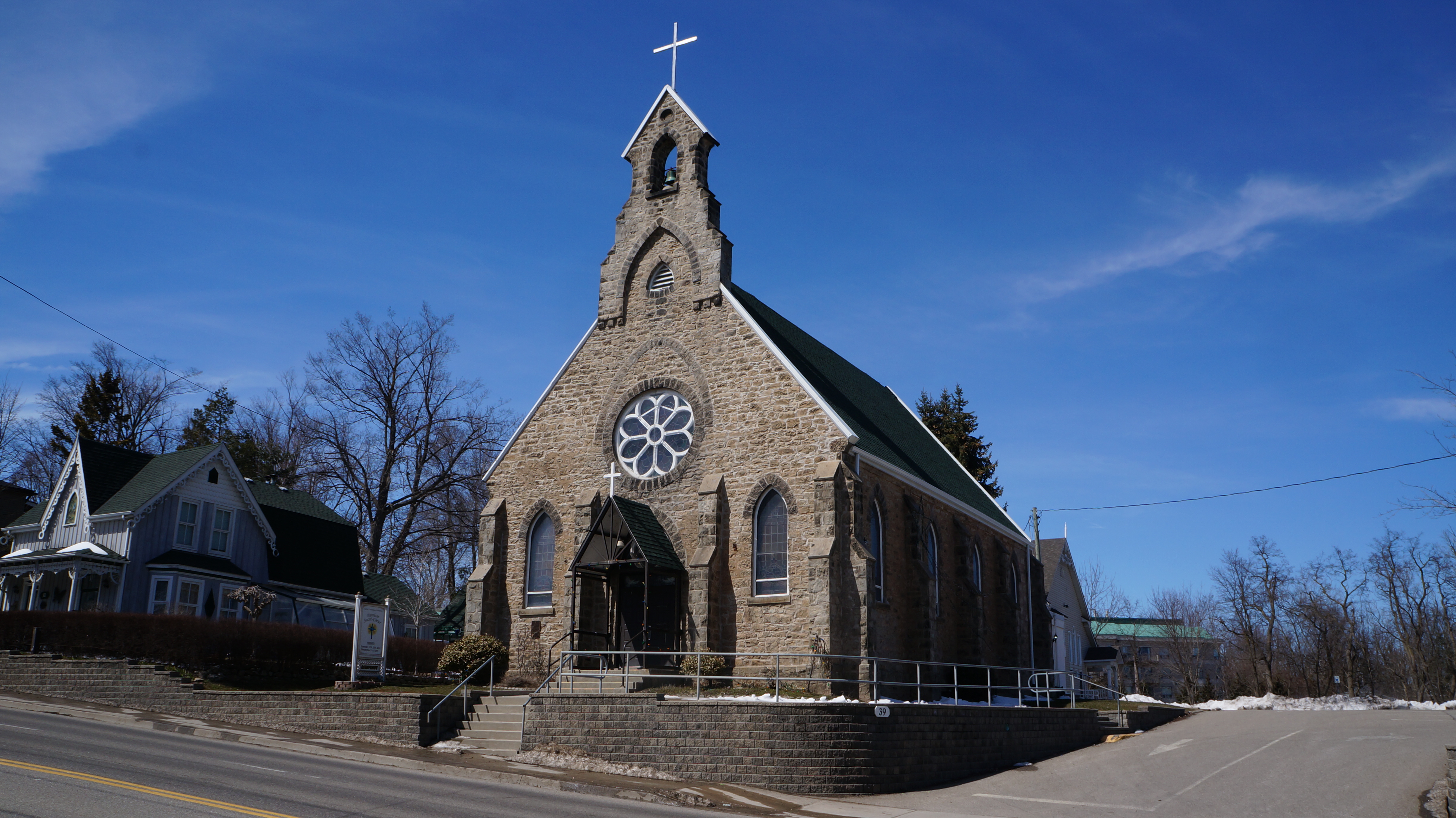
Georgetown is a large unincorporated community in the town of Halton Hills, Ontario, Canada, in the Regional Municipality of Halton. The town includes several small villages or settlements such as Norval, Limehouse, Stewarttown and Glen Williams near Georgetown and another large population centre, Acton. In 2016, the population of Georgetown was 42,123. It sits on the banks of the Credit River, approximately 40 km west of Toronto, and is part of the Greater Toronto Area. Georgetown was named after entrepreneur George Kennedy who settled in the area in 1821 and built several mills and other businesses. History By 1650, the Hurons had been wiped out by European diseases and the Iroquois. The region was now open to the Algonquian Ojibwa (also known as Mississauga). By 1850 the remaining Mississauga natives were removed to the Six Nations Reserve, where the Mississaugas of the New Credit First Nation Reserve was established. Early settlement Commencing in 1781, the Bri ... [...More Info...] [...Related Items...] OR: [Wikipedia] [Google] [Baidu] |
Acton, Ontario
Acton (population 9,377 in 2021) is a community located in the town of Halton Hills, in Halton Region, Ontario, Canada. At the northern end of the Region, it is on the outer edge of the Greater Toronto Area and is one of two of the primary population centres of the Town; the other is Georgetown. From 1842 until 1986, the town was a major centre for the tanning and leather goods industry. In the early years, it was often referred to as "Leathertown". History In 1825, the area now known as Acton was settled by the Rev. Ezra, Rev. Zenas, and Rufus Adams. These men were Methodist preachers who took a sabbatical and began farming here on a branch of the Credit River. A fourth brother, Eliphalet, also settled here later. In the 1840s, the community had a grist mill and tannery. The community was initially named Danville when settler Wheeler Green opened a dry-goods store in 1828. It was later called Adamsville, after the three original settlers. When the Mississaugas still had ... [...More Info...] [...Related Items...] OR: [Wikipedia] [Google] [Baidu] |
Halton Hills
) , image_map = , mapsize = 200px , map_caption = , pushpin_map = CAN ON Halton#Canada Southern Ontario , pushpin_map_caption = , coordinates = , subdivision_type = Country , subdivision_name = Canada , subdivision_type1 = Province , subdivision_name1 = Ontario , subdivision_type2 = Region , subdivision_name2 = Halton , established_title = , established_date = , established_title2 = Incorporated , established_date2 = 1974 , leader_title = Mayor , leader_name = Ann Lawlor , leader_title1 = Federal riding , leader_name1 = Wellington—Halton Hills , leader_title2 = Prov. riding , leader_name2 = Wellington—Halton Hills , area_footnotes = , area_total_km2 = , area_land_km2 = 276.26 , area_urban_km2 = 39.52 , area_rural ... [...More Info...] [...Related Items...] OR: [Wikipedia] [Google] [Baidu] |
Ottawa
Ottawa (, ; Canadian French: ) is the capital city of Canada. It is located at the confluence of the Ottawa River and the Rideau River in the southern Ontario, southern portion of the province of Ontario. Ottawa borders Gatineau, Quebec, and forms the core of the Ottawa–Gatineau census metropolitan area (CMA) and the National Capital Region (Canada), National Capital Region (NCR). Ottawa had a city population of 1,017,449 and a metropolitan population of 1,488,307, making it the list of the largest municipalities in Canada by population, fourth-largest city and list of census metropolitan areas and agglomerations in Canada, fourth-largest metropolitan area in Canada. Ottawa is the political centre of Canada and headquarters to the federal government. The city houses numerous List of diplomatic missions in Ottawa, foreign embassies, key buildings, organizations, and institutions of Government of Canada, Canada's government, including the Parliament of Canada, the Supreme Cour ... [...More Info...] [...Related Items...] OR: [Wikipedia] [Google] [Baidu] |
Peterborough, Ontario
Peterborough ( ) is a city on the Otonabee River in Ontario, Canada, about 125 kilometres (78 miles) northeast of Toronto. According to the 2021 Census, the population of the City of Peterborough was 83,651. The population of the Peterborough Census Metropolitan Area (CMA), which includes the surrounding Townships of Selwyn, Cavan Monaghan, Otonabee-South Monaghan, and Douro-Dummer, was 128,624 in 2021. In 2021, Peterborough ranked 32nd among the country's 41 census metropolitan areas according to the CMA in Canada. The current mayor of Peterborough is Jeff Leal. Peterborough is known as the gateway to the Kawarthas, "cottage country", a large recreational region of the province. It is named in honour of Peter Robinson, an early Canadian politician who oversaw the first major immigration to the area. The city is the seat of Peterborough County. Peterborough's nickname in the distant past was "The Electric City" as it was the first town in Canada to use electric str ... [...More Info...] [...Related Items...] OR: [Wikipedia] [Google] [Baidu] |
Pickering, Ontario
Pickering ( 2021 population 99,186) is a city located in Southern Ontario, Canada, immediately east of Toronto in Durham Region. Beginning in the 1770s, the area was settled by primarily ethnic British colonists. An increase in population occurred after the American Revolutionary War, when the Crown resettled Loyalists and encouraged new immigration. Many of the smaller rural communities have been preserved and function as provincially significant historic sites and museums. The city also includes the development of Durham Live, a multi-billion-dollar casino complex. History Early period The present-day Pickering was Aboriginal territory for thousands of years. The Wyandot (called the Huron by Europeans), who spoke an Iroquoian language, were the historical people living here in the 15th century. Archeological remains of a large village have been found here, known as the Draper Site. Later, the Wyandot moved northwest to Georgian Bay, where they established their historic ho ... [...More Info...] [...Related Items...] OR: [Wikipedia] [Google] [Baidu] |

.jpg)


