|
Finkbine-Guild Lumber Company
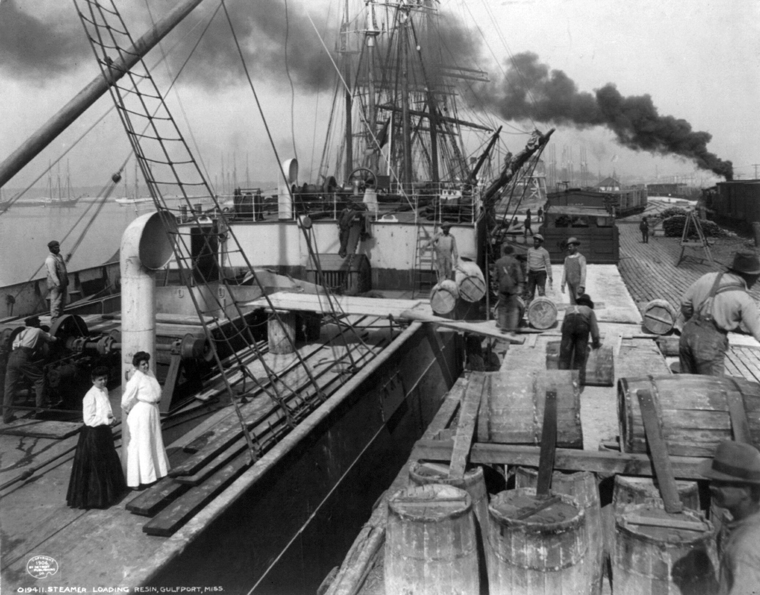
The Finkbine-Guild Lumber Company was established to harvest and market the virgin longleaf pine (''Pinus'' ''palustris'' L.) stands of southern Mississippi during the early 20th century. The main sawmills were located in Wiggins, Mississippi, Wiggins and D'Lo, Mississippi, D'Lo, Mississippi. When the local timber supply dwindled, the company tried to utilize Sequoia sempervirens, redwood trees from California, but that operation failed because of high transportation costs. Other attempts were made at promoting a more diversified use of the cutover Forest, timberlands; some ventures were successful while others were not. History The longleaf pine resource Up until the 20th century, the virgin pine, pine forests of south Mississippi were virtually untouched by man, because there was no efficient system for transporting cut logs from the forests to sawmills for conversion to lumber. There was an immense expanse of longleaf pine, stretching from Virginia, southwest through nine ... [...More Info...] [...Related Items...] OR: [Wikipedia] [Google] [Baidu] |
Wiggins, Mississippi
Wiggins is a city in and the county seat of Stone County, Mississippi Mississippi () is a state in the Southeastern region of the United States, bordered to the north by Tennessee; to the east by Alabama; to the south by the Gulf of Mexico; to the southwest by Louisiana; and to the northwest by Arkansas. Miss ..., United States. It is part of the Gulfport, Mississippi, Gulfport–Biloxi, Mississippi, Biloxi, Mississippi Gulfport-Biloxi metropolitan area, Metropolitan Statistical Area. The population was 4,272 at the 2020 United States census, 2020 census. History Wiggins is named after Wiggins Hatten, the father of Madison Hatten, one of the area's original homesteaders. It was incorporated in 1904, and the 1910 census reported 980 residents. In the early 1900s, Wiggins prospered along with the booming timber industry. Wiggins was once headquarters of the Finkbine-Guild Lumber Company, Finkbine Lumber Company. On January 21, 1910, between the hours of 11 am and 1 ... [...More Info...] [...Related Items...] OR: [Wikipedia] [Google] [Baidu] |
Southern United States
The Southern United States (sometimes Dixie, also referred to as the Southern States, the American South, the Southland, or simply the South) is a geographic and cultural region of the United States of America. It is between the Atlantic Ocean and the Western United States, with the Midwestern and Northeastern United States to its north and the Gulf of Mexico and Mexico to its south. Historically, the South was defined as all states south of the 18th century Mason–Dixon line, the Ohio River, and 36°30′ parallel.The South . ''Britannica.com''. Retrieved June 5, 2021. Within the South are different subregions, such as the |
Southern Yellow Pine
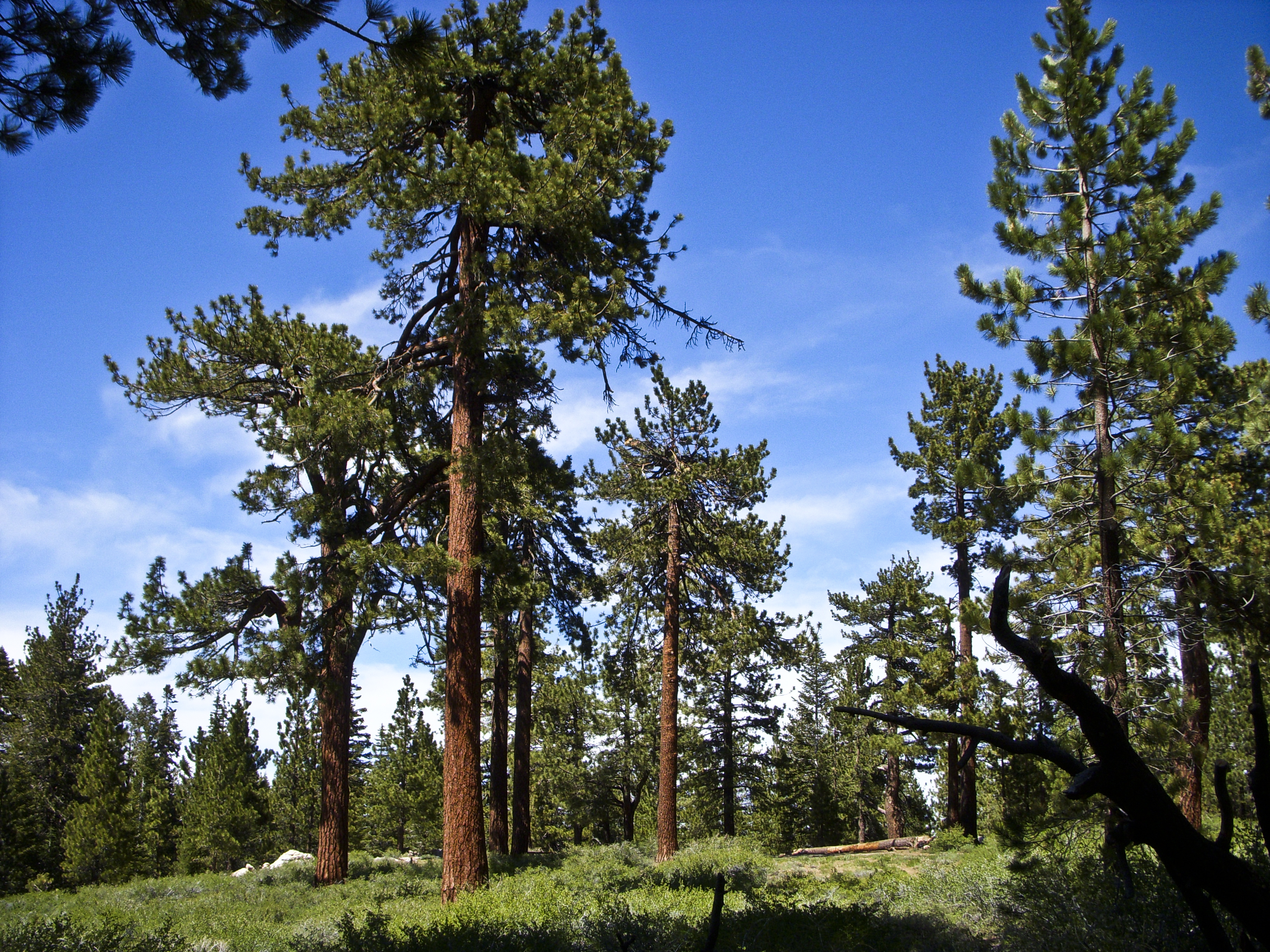
In ecology and forestry, yellow pine refers to a number of conifer species that tend to grow in similar plant communities and yield similar strong wood. In the Western United States, yellow pine refers to Jeffrey pine or ponderosa pine. In the Southeastern United States, yellow pine refers to longleaf pine, shortleaf pine, slash pine, or loblolly pine. In the United Kingdom, yellow pine refers to eastern white pine or Scots pine. In New Zealand, it refers to ''Halocarpus biformis''. Western United States The Jeffrey pine and the ponderosa pine are common in drier montane areas of the Sierra Nevada. They are often confused by casual observers. Across the remainder of the American West, Jeffrey pine is absent, with ponderosa pine being the sole yellow pine. Jeffrey pine is more stress tolerant than ponderosa pine in the Sierra Nevada. At higher elevations, on poorer soils, in colder climates, and in drier climates, Jeffrey pine replaces ponderosa as the dominant tree (Jeffre ... [...More Info...] [...Related Items...] OR: [Wikipedia] [Google] [Baidu] |
Stone County, Mississippi
Stone County is a county located in the U.S. state of Mississippi. As of the 2010 census, the population was 17,786. Its county seat is Wiggins. Stone County was formed from the northern portion of Harrison County on June 5, 1916. The county was named for John M. Stone, who served as Governor of Mississippi from 1876 to 1882 and again from 1890 to 1896. Stone County is included in the Gulfport-Biloxi, MS Metropolitan Statistical Area. In 1918, the Stone County Courthouse was completed at a cost of $29,515.18, and is still in use today, after several renovations. Geography According to the U.S. Census Bureau, the county has a total area of , of which is land and (0.6%) is water. Major highways * U.S. Highway 49 * Mississippi Highway 15 * Mississippi Highway 26 * Mississippi Highway 29 Adjacent counties * Perry County (northeast) * George County (east) * Jackson County (southeast) * Harrison County (south) * Pearl River County (west) * Forrest County (northwest) N ... [...More Info...] [...Related Items...] OR: [Wikipedia] [Google] [Baidu] |
Harrison County, Mississippi
Harrison County is a county located in the U.S. state of Mississippi. As of the 2020 census, the population was 208,621, making it the second-most populous county in Mississippi. Its county seats are Biloxi and Gulfport. The county is named after U.S. President William Henry Harrison. Harrison County is part of the Gulfport-Biloxi metropolitan area. The county was severely damaged from both Hurricane Camille on August 17, 1969, and Hurricane Katrina on August 29, 2005, causing catastrophic effects. Geography According to the United States Census Bureau, the county has a total area of , of which (41%) are covered by water. The Tchoutacabouffa River has its mouth at Biloxi Bay just north of the city of Biloxi. Gulfport, Mississippi, is the chief port in the state, with access to the Gulf of Mexico through a ship channel. This is the second-largest county in Mississippi by total area. Wildlife A single pond in the county contains the critically endangered dusky gopher fr ... [...More Info...] [...Related Items...] OR: [Wikipedia] [Google] [Baidu] |
Iowa
Iowa () is a state in the Midwestern region of the United States, bordered by the Mississippi River to the east and the Missouri River and Big Sioux River to the west. It is bordered by six states: Wisconsin to the northeast, Illinois to the east and southeast, Missouri to the south, Nebraska to the west, South Dakota to the northwest, and Minnesota to the north. During the 18th and early 19th centuries, Iowa was a part of French Louisiana and Spanish Louisiana; its state flag is patterned after the flag of France. After the Louisiana Purchase, people laid the foundation for an agriculture-based economy in the heart of the Corn Belt. In the latter half of the 20th century, Iowa's agricultural economy transitioned to a diversified economy of advanced manufacturing, processing, financial services, information technology, biotechnology, and green energy production. Iowa is the 26th most extensive in total area and the 31st most populous of the 50 U.S. states, with a popul ... [...More Info...] [...Related Items...] OR: [Wikipedia] [Google] [Baidu] |
Des Moines
Des Moines () is the capital and the most populous city in the U.S. state of Iowa. It is also the county seat of Polk County. A small part of the city extends into Warren County. It was incorporated on September 22, 1851, as Fort Des Moines, which was shortened to "Des Moines" in 1857. It is located on, and named after, the Des Moines River, which likely was adapted from the early French name, ''Rivière des Moines,'' meaning "River of the Monks". The city's population was 214,133 as of the 2020 census. The six-county metropolitan area is ranked 83rd in terms of population in the United States with 699,292 residents according to the 2019 estimate by the United States Census Bureau, and is the largest metropolitan area fully located within the state. Des Moines is a major center of the US insurance industry and has a sizable financial services and publishing business base. The city was credited as the "number one spot for U.S. insurance companies" in a '' Business Wire'' ar ... [...More Info...] [...Related Items...] OR: [Wikipedia] [Google] [Baidu] |
Hattiesburg, Mississippi
Hattiesburg is a city in the U.S. state of Mississippi, located primarily in Forrest County (where it is the county seat and largest city) and extending west into Lamar County. The city population was 45,989 at the 2010 census, with the population now being 48,730 in 2020. Hattiesburg is the principal city of the Hattiesburg Metropolitan Statistical Area, which encompasses Covington, Forrest, Lamar, and Perry counties. The city is located in the Pine Belt region. Development of the interior of Mississippi by European Americans took place primarily after the American Civil War. Before that time, only properties along the major rivers were developed as plantations. Founded in 1882 by civil engineer William H. Hardy, Hattiesburg was named in honor of Hardy's wife Hattie. The town was incorporated two years later with a population of 400. Hattiesburg's population first expanded as a center of the lumber and railroad industries, from which was derived the nickname "The Hub C ... [...More Info...] [...Related Items...] OR: [Wikipedia] [Google] [Baidu] |
Gulfport, Mississippi
Gulfport is the second-largest city in Mississippi after the state capital, Jackson. Along with Biloxi, Gulfport is the co-county seat of Harrison County and the larger of the two principal cities of the Gulfport-Biloxi, Mississippi Metropolitan Statistical Area. As of the 2020 census, the city of Gulfport had a total population of 72,926, with 416,259 in the metro area as of 2018. It is also home to the US Navy Atlantic Fleet Seabees. History This area was occupied by indigenous cultures for thousands of years, culminating in the historic encounter between the Choctaw and the first European explorers of the area. Along the Gulf Coast, French colonists founded nearby Biloxi, and Mobile in the 18th century, well before the area was acquired from France by the United States in 1803 in the Louisiana Purchase. By the Indian Removal Act of 1830, the United States completed treaties to extinguish Choctaw and other tribal land claims and removed them to Indian Territory, now Ok ... [...More Info...] [...Related Items...] OR: [Wikipedia] [Google] [Baidu] |
List Of Capitals In The United States
This is a list of capital cities of the United States, including places that serve or have served as federal, state, insular area, territorial, colonial and Native American capitals. Washington has been the federal capital of the United States since 1800. Each U.S. state has its own capital city, as do many of its insular areas. Most states have not changed their capital city since becoming a state, but the capital cities of their respective preceding colonies, territories, kingdoms, and republics typically changed multiple times. There have also been other governments within the current borders of the United States with their own capitals, such as the Republic of Texas, Native American nations and other unrecognized governments. National capitals The buildings in cities identified in below chart served either as official capitals of the United States under the United States Constitution, or, prior to its ratification, sites where the Second Continental Congress or ... [...More Info...] [...Related Items...] OR: [Wikipedia] [Google] [Baidu] |
Gulf And Ship Island Railroad
The Gulf and Ship Island Railroad (G&SI) was constructed in the state of Mississippi, USA, at the turn of the 20th century to open a vast expanse of southern yellow pine forests for commercial harvest. In spite of economic uncertainty, entrepreneurs William H. Hardy and Joseph T. Jones successfully completed railroad construction. The railroad resulted in the development of a seaport and expansion of cities along its route. Railroad charter The Gulf and Ship Island Railroad (G&SIRR) was developed under three charters provided by the Mississippi State Legislature. The first charter was given in 1850, followed by a second in 1856. The second charter expired and lapsed for 31 years, because of the American Civil War and Reconstruction. The state legislature validated a third charter in 1887. William H. Hardy In 1887, William H. Hardy accepted the presidency of the Gulf and Ship Island Railroad with the support of longtime railroad financiers William Clark Falkner and Wil ... [...More Info...] [...Related Items...] OR: [Wikipedia] [Google] [Baidu] |


.jpg)
