|
Auto Mall
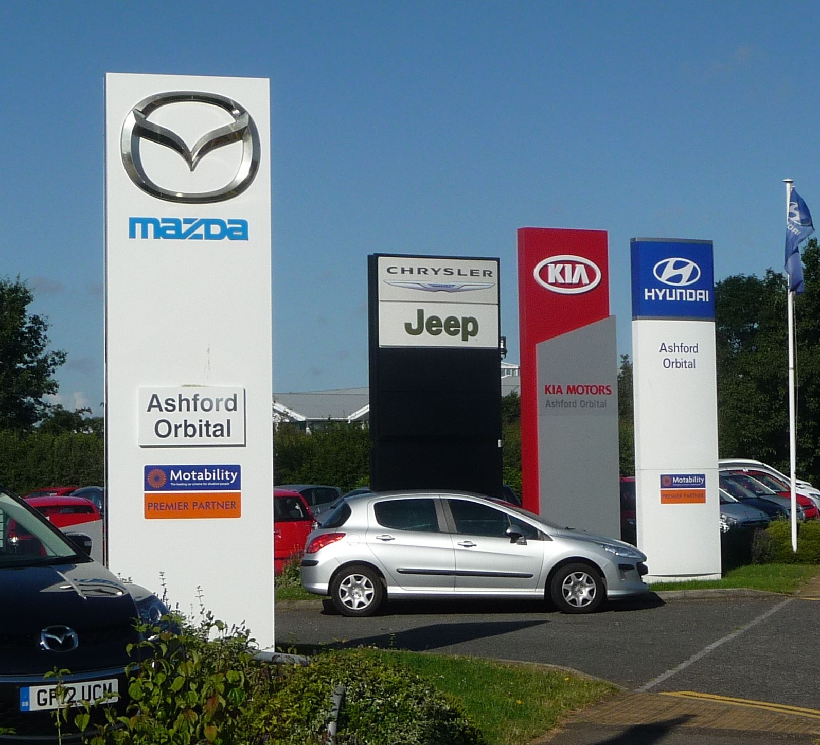
An auto row or auto mall is a business cluster with multiple car dealerships in a single neighborhood or road. Auto rows are distinct from car supermarkets which are a single, large dealership. Economics Auto rows, like mall food courts, are an example of the economies of agglomeration. Even though being grouped together increases immediate competition, the auto row becomes more of destination for consumers and benefits all the dealerships. Many consumers may want to test drive automobiles from multiple companies before making a purchase and the auto row provides one stop shopping. Competing dealerships also often share advertising costs to promote their single destination under an agreed-upon marketing name. Auto rows attract ancillary businesses including car washes, insurance offices, and body shops that benefit all of the dealerships. Geography Central Place Theory may explain why destination stores do better when centrally located. Also, in some areas, local zoning ma ... [...More Info...] [...Related Items...] OR: [Wikipedia] [Google] [Baidu] |
34 Avenue, Edmonton
The following is a list of the east–west arterial thoroughfares in the city of Edmonton, Alberta. Numbered avenues run east-west with avenues numbers increasing to the north. In 1982 a quadrant system was adopted. Quadrant Avenue (1 Avenue; only constructed west of the river), along with Windermere Boulevard and the south leg of Anthony Henday Drive, dividing the north and south quadrants. Edmonton currently has three quadrants: northwest (NW), southwest (SW), and northeast (NE); the vast majority of the city falls within the northwest quadrant. Addresses on 41 Avenue and south have been encouraged to include NW to avoid confusion with addresses in the SW quadrant. Artery roads 105 Avenue SW 105 Avenue SW is the designated name of Highway 19 along Edmonton's southernmost city boundary between the eastern Devon, Alberta, Devon town limits at the Range Road 261 road allowance and just west of the Alberta Highway 2, Highway 2 interchange at Nisku (H ... [...More Info...] [...Related Items...] OR: [Wikipedia] [Google] [Baidu] |
List Of Historic Filling Stations
This is a list of historic filling stations and service stations, including a few tire service stations which did not have gas pumps. A number of these in the United States are listed on the National Register of Historic Places. They are of various architectural types including "house" types.Building types were "defined by historical geographer John Jakle in his 1975 study of gasoline stations. Jakle's article, "The American Gasoline Station, 1920 to 1970," created a typology for gasoline station identification and analysis that has been generally accepted by geographers, historians, and preservationists ever since." With Canada *Joy Gas Stations *Nuns' Island gas station Denmark *Palægaragerne *Skovshoved Petrol Station Eritrea *Fiat Tagliero Building United Kingdom *East Sheen Filling Station *Markham Moor service area *Red Hill filling station United States Arizona #John Osterman Gas Station, Peach Springs #Cave Creek Service Station, Cave Creek #J.H. Smith Grocery St ... [...More Info...] [...Related Items...] OR: [Wikipedia] [Google] [Baidu] |
Milwaukee Junction
Milwaukee Junction is an area in Detroit, Michigan, east of New Center. Located near the railroad junction of the Grand Trunk Western Railroad's predecessors Detroit, Grand Haven and Milwaukee Railway and the Chicago, Detroit and Canada Grand Trunk Junction, the area encompasses the streets of East Grand Boulevard to the north, St. Aubin St./Hamtramck Drive to the east, John R Street to the west, and the border following I-94 to the south. Due to the presence of numerous car companies within it at the turn of the 20th century, Milwaukee Junction is considered the "cradle of the Detroit auto industry". History The Milwaukee Junction neighborhood was constructed in the 1890s to encourage industrial expansion in what was then the far northern section of Detroit.Eric J. Hill, ... [...More Info...] [...Related Items...] OR: [Wikipedia] [Google] [Baidu] |
Syracuse, New York
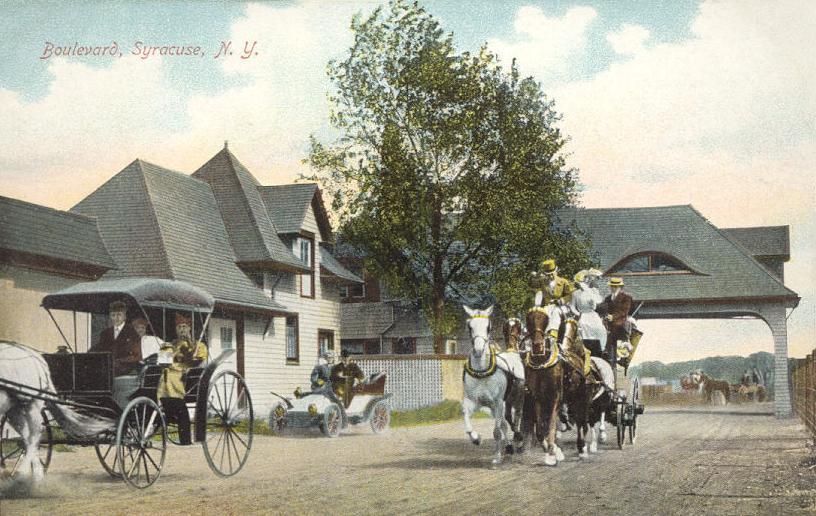
Syracuse ( ) is a city in and the county seat of Onondaga County, New York, United States. It is the fifth-most populous city in the state of New York following New York City, Buffalo, Yonkers, and Rochester. At the 2020 census, the city's population was 148,620 and its metropolitan area had a population of 662,057. It is the economic and educational hub of Central New York, a region with over one million inhabitants. Syracuse is also well-provided with convention sites, with a downtown convention complex. Syracuse was named after the classical Greek city Syracuse (''Siracusa'' in Italian), a city on the eastern coast of the Italian island of Sicily. Historically, the city has functioned as a major crossroads over the last two centuries, first between the Erie Canal and its branch canals, then of the railway network. Today, Syracuse is at the intersection of Interstates 81 and 90. Its airport is the largest in the Central New York region. Syracuse is home to Syracus ... [...More Info...] [...Related Items...] OR: [Wikipedia] [Google] [Baidu] |
Dead Mall
A dead mall (also known as a ghost mall, zombie mall, or abandoned mall) is a shopping mall with a high vacancy rate or a low consumer traffic level, or that is deteriorating in some manner. Many malls in North America are considered "dead" (for the purposes of leasing) when they have no surviving anchor store or successor that could attract people to the mall. Without the pedestrian traffic that department stores previously generated, sales volumes decline for almost all stores and rental revenues from those stores can no longer sustain the costly maintenance of the malls. Without good pedestrian access, smaller stores inside malls are difficult to reach. Changes in the retail climate Structural changes in the department-store industry have also made survival of these malls difficult. These changes have contributed to some areas or suburbs having insufficient traditional department stores to fill all the existing larger-lease-area ''anchor spaces''. A few large national ... [...More Info...] [...Related Items...] OR: [Wikipedia] [Google] [Baidu] |
Penn-Can Mall
Penn-Can Mall was a mall in the town of Cicero, New York, north of Syracuse. It opened on March 28, 1976. It was the first enclosed mall on the north end of Syracuse, and the fourth mall to be built in the entire metropolitan area. It was constructed by the Winmar Company of Seattle, Washington, and had room for 86 stores. At the mall's inception, only 28 stores were open, but the other spaces quickly followed, followed by even more during an expansion in 1986, putting the mall's store count to 121. The mall also had a smaller upper level with a few small shops and a Loews Cinema. There was also an old European clock in the center court of the mall. Today the mall, including its clock, is home to a multi-franchise "auto mall" known as Driver's Village. Building design The mall opened in 1976. It was built in a straight line, and later it was in a "T" shape following the expansion. Originally, it was anchored by Sears, with a Hills added at the opposite end in 1983; another wing ... [...More Info...] [...Related Items...] OR: [Wikipedia] [Google] [Baidu] |
Chicago, Illinois
(''City in a Garden''); I Will , image_map = , map_caption = Interactive Map of Chicago , coordinates = , coordinates_footnotes = , subdivision_type = Country , subdivision_name = United States , subdivision_type1 = State , subdivision_type2 = Counties , subdivision_name1 = Illinois , subdivision_name2 = Cook and DuPage , established_title = Settled , established_date = , established_title2 = Incorporated (city) , established_date2 = , founder = Jean Baptiste Point du Sable , government_type = Mayor–council , governing_body = Chicago City Council , leader_title = Mayor , leader_name = Lori Lightfoot ( D) , leader_title1 = City Clerk , leader_name1 = Anna Valencia ( D) , unit_pref = Imperial , area_footnotes = , ar ... [...More Info...] [...Related Items...] OR: [Wikipedia] [Google] [Baidu] |
Motor Row District
The Motor Row District is a historic district in Chicago's Near South Side community area. Motor Row includes buildings on Michigan Avenue between 2200 and 2500 south, directly west of McCormick Place convention center, and 1444, 1454, 1737, 1925, 2000 S. Michigan Ave., as well as 2246-3453 S. Indiana Ave., and 2211-47 S. Wabash Ave. The district was built between 1905 and 1936 by a number of notable architects. Auto rows developed in numerous US cities shortly after 1900 as car companies sought to create districts where the sale and repair of cars could become an easy urban shopping experience. At its peak, as many as 116 different makes of automobiles were sold and repaired on Motor Row. Current-day marques that formerly had showrooms on Motor Row included Ford, Buick, Fiat, and Cadillac. Other marques with showrooms there that have since dissolved include Hudson, Locomobile, Marmon, and Pierce-Arrow. Currently, only one car dealer (Fiat/Alfa Romeo) still stands in Mo ... [...More Info...] [...Related Items...] OR: [Wikipedia] [Google] [Baidu] |
Cerritos, California
Cerritos (Spanish for "Little hills") is a city in Los Angeles County, California, United States, and is one of several cities that constitute the Gateway Cities of southeast Los Angeles County. It was incorporated on April 24, 1956. As of 2019, the population was 49,859. It is part of the Los Angeles–Long Beach–Anaheim, California Metropolitan Statistical Area designated by the Office of Management and Budget. History Cerritos was originally inhabited by Native Americans belonging to the Tongva (or "People of the Earth"). The Tongva were called the "Gabrieleños" by the Spanish settlers after the nearby Mission San Gabriel Arcángel. The Tongva were the largest group of indigenous peoples in Southern California as well as the most developed in the region. The Tongva lived off the land, deriving food from the animals or plants that could be gathered, snared or hunted, and grinding acorns as a staple. Beginning in the late 15th century, Spanish explorers arrived in t ... [...More Info...] [...Related Items...] OR: [Wikipedia] [Google] [Baidu] |
Cerritos Auto Square
The Cerritos Auto Square is an automobile retail center located in the city of Cerritos, California. Cerritos Auto Square states that it is the largest auto mall in the world with 29 import and domestic marques. History In 1979, the Cerritos Redevelopment Agency began work on the improvement of Studebaker Road, and in October of that year, S & J Chevrolet broke ground for the first auto dealership in the Cerritos Auto Square, directly west of Interstate 605 and the Los Cerritos Center, between 183rd and South streets. Eventually it would be joined by other dealerships in buildings that featured a distinctive "New Orleans" style One of the first business locations in Cerritos was the General Telephone Company's service yard, replacing a turkey ranch on the northwest corner of Studebaker Road and 183rd Street. In 1988, the Los Cerritos Redevelopment Agency purchased the and made $1.2 million in improvements, including road improvements, landscaped medians and parkways, rocky wat ... [...More Info...] [...Related Items...] OR: [Wikipedia] [Google] [Baidu] |
San Jose, California
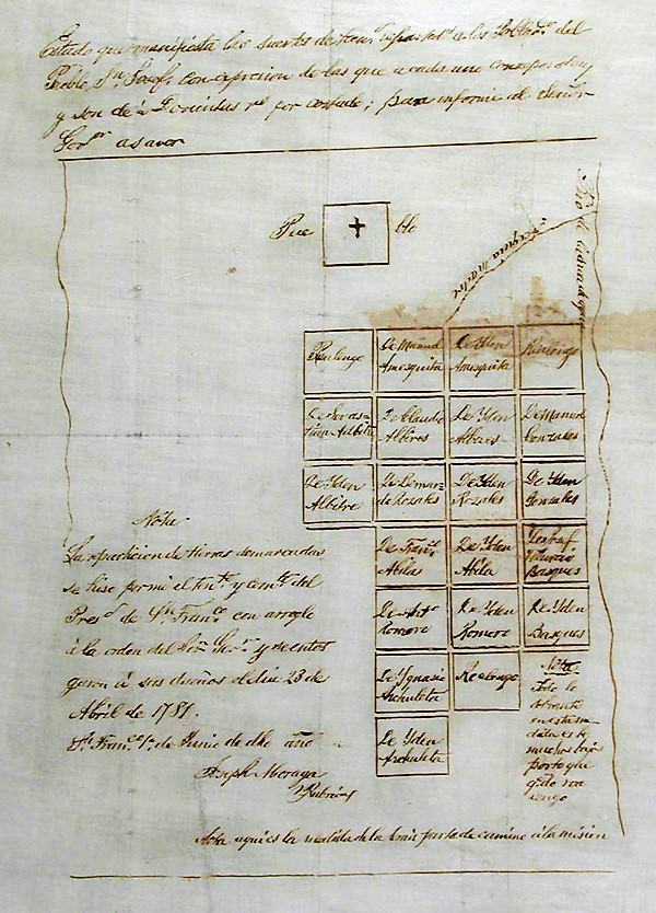
San Jose, officially San José (; ; ), is a major city in the U.S. state of California that is the cultural, financial, and political center of Silicon Valley and largest city in Northern California by both population and area. With a 2020 population of 1,013,240, it is the most populous city in both the Bay Area and the San Jose-San Francisco-Oakland Combined Statistical Area, which contain 7.7 million and 9.7 million people respectively, the third-most populous city in California (after Los Angeles and San Diego and ahead of San Francisco), and the tenth-most populous in the United States. Located in the center of the Santa Clara Valley on the southern shore of San Francisco Bay, San Jose covers an area of . San Jose is the county seat of Santa Clara County and the main component of the San Jose–Sunnyvale–Santa Clara Metropolitan Statistical Area, with an estimated population of around two million residents in 2018. San Jose is notable for its innovation, cultural div ... [...More Info...] [...Related Items...] OR: [Wikipedia] [Google] [Baidu] |


