Transport In Madagascar on:
[Wikipedia]
[Google]
[Amazon]
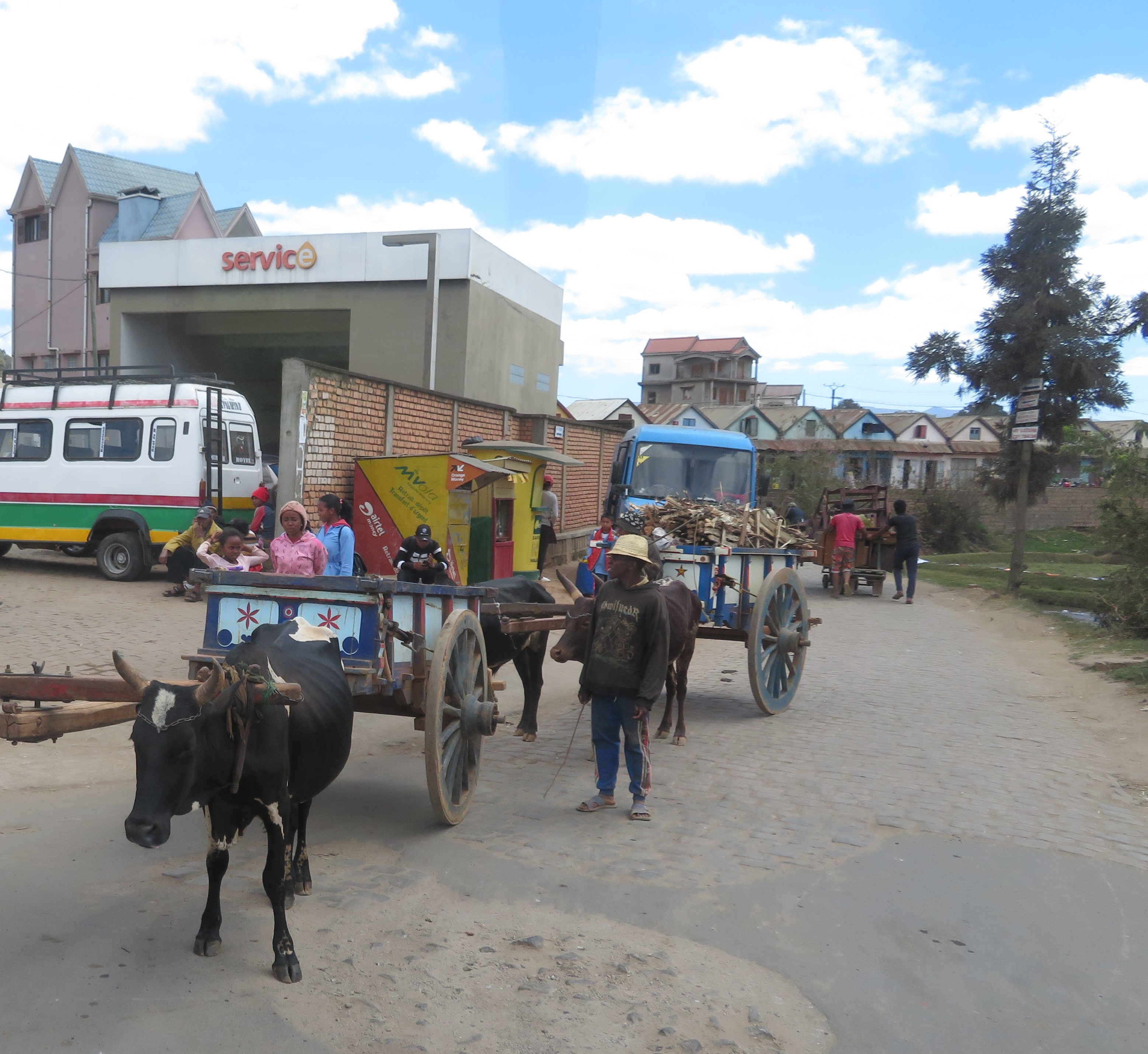
Paved and unpaved roadways, as well as railways, provide the main forms of transport in Madagascar.
 In 2018, Madagascar reported 836 km of rail lines. There are several rail lines and stations in Madagascar.


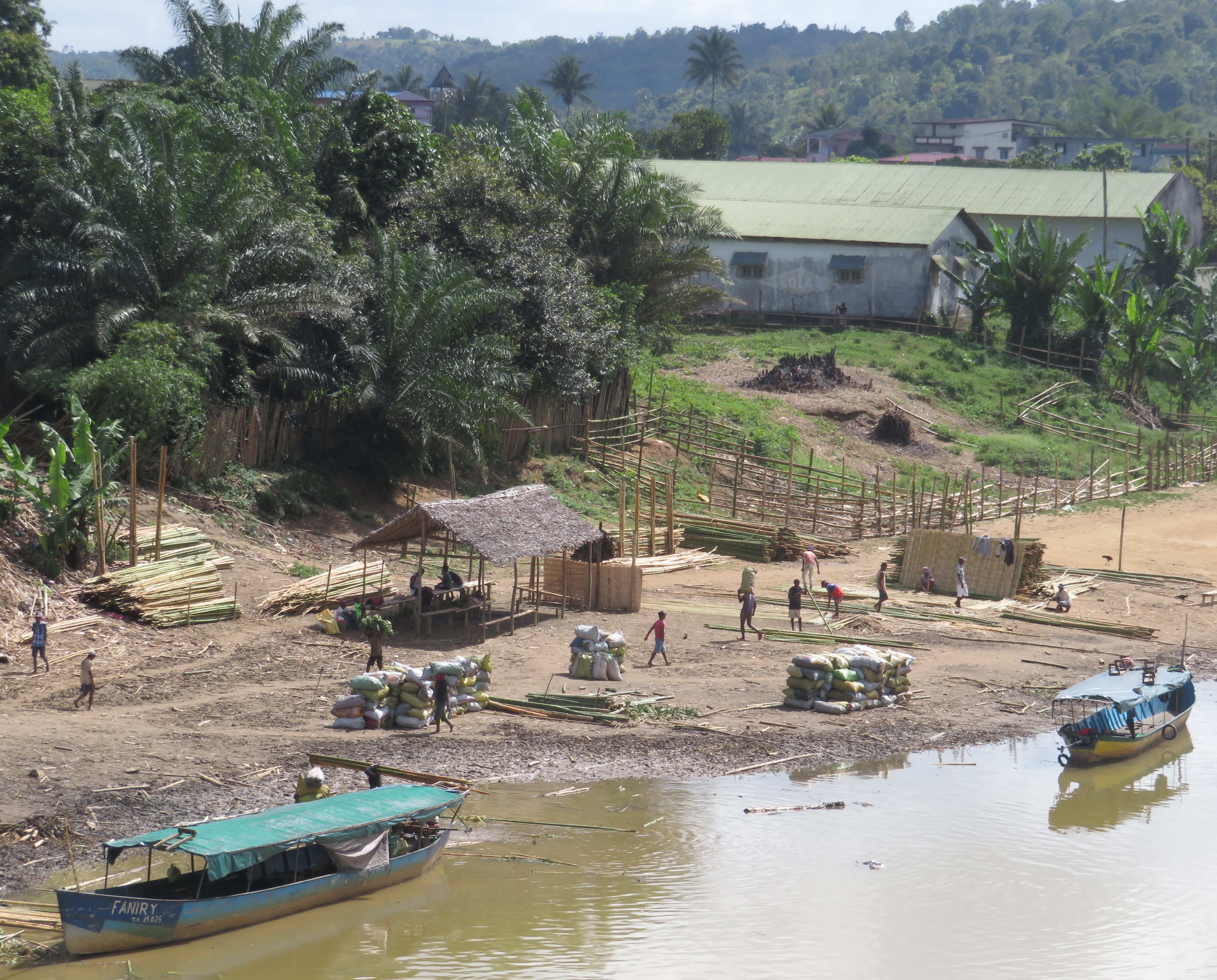
 The relatively short rivers of Madagascar are typically of local importance only; isolated streams and small portions of Lakandranon' Ampangalana ( Canal des Pangalanes) are navigated by pirogue. Coastal inter-city transport routes are found along the west coast.
Madagascar has 600 km of waterways, 432 km of which are navigable.
 The main international airport in Madagascar is Ivato International Airport in Antananarivo. Air Madagascar services the island's many small regional airports, which offer the only practical means of access to many of the more remote regions during rainy season road washouts. There are 26 airports with paved runways and 57 airports with unpaved runways. In 2018, Madagascar carried 544,458 air passengers.
Helicopter Antananarivo
- Helicopter charter service in Antananarivo
- Helicopter transfer service
Report about Madarail and TCE (Tananarive-Côtes Est)
by photojournalist Rijasolo {{Africa in topic, Transport in
Madagascar
Madagascar, officially the Republic of Madagascar, is an island country that includes the island of Madagascar and numerous smaller peripheral islands. Lying off the southeastern coast of Africa, it is the world's List of islands by area, f ...
has approximately of paved roads and 836 km of rail lines. In 2010, Madagascar had of navigable waterways.
Railways
Antananarivo
Antananarivo (Malagasy language, Malagasy: ; French language, French: ''Tananarive'', ), also known by its colonial shorthand form Tana (), is the Capital city, capital and largest city of Madagascar. The administrative area of the city, known ...
is connected to Toamasina
Toamasina (), meaning "like salt" or "salty", unofficially and in French language, French Tamatave or in the past as Port aux prunes, is the capital of the Atsinanana region on the east coast of Madagascar on the Indian Ocean. The city is the chief ...
, Ambatondrazaka and Antsirabe
Antsirabe () also known as Ville d'eau is the list of cities in Madagascar, third largest city in Madagascar and the capital of the Vakinankaratra region, with a population of 265,018 in 2014.
In Madagascar, Antsirabe is known for its relatively ...
by rail, and another rail line connects Fianarantsoa to Manakara. The northern railway (TCE) is concessioned to Madarail. The southern line, Fianarantsoa-Côte-Est railway (FCE), is a parastatal
A state-owned enterprise (SOE) is a business entity created or owned by a national or local government, either through an executive order or legislation. SOEs aim to generate profit for the government, prevent private sector monopolies, provide goo ...
line.
Roads


Waterways

 The relatively short rivers of Madagascar are typically of local importance only; isolated streams and small portions of Lakandranon' Ampangalana ( Canal des Pangalanes) are navigated by pirogue. Coastal inter-city transport routes are found along the west coast.
Madagascar has 600 km of waterways, 432 km of which are navigable.
Ports and harbors
The most important seaport in Madagascar is located on the east coast at Toamasina. Ports atToliara
Toliara (also known as ''Toliary'', ; formerly ''Tuléar'') is a city in southern Madagascar. It is the capital of the Atsimo-Andrefana region, located 936 km southwest of the national capital Antananarivo.
The current spelling of the name ...
, Mahajanga, and Antsiranana
Antsiranana ( ), named Diego-Suarez prior to 1975, is a city in the far north of Madagascar. Antsiranana is the capital of Diana Region. It had an estimated population of 115,015 in 2013.
History
At the beginning of the 16th century, a Portugue ...
are significantly less used because of their remoteness. The island's newest port at Port d'Ehola, constructed in 2008 and privately managed by Rio Tinto, will come under state control upon completion of the company's mining project near Tôlanaro around 2038. The country's principal cargo port is Toamasina Autonomous Port.
Airports
 The main international airport in Madagascar is Ivato International Airport in Antananarivo. Air Madagascar services the island's many small regional airports, which offer the only practical means of access to many of the more remote regions during rainy season road washouts. There are 26 airports with paved runways and 57 airports with unpaved runways. In 2018, Madagascar carried 544,458 air passengers.
See also
*Notes
References
*External links
Helicopter Antananarivo
- Helicopter charter service in Antananarivo
- Helicopter transfer service
Report about Madarail and TCE (Tananarive-Côtes Est)
by photojournalist Rijasolo {{Africa in topic, Transport in