Sagittate Hill on:
[Wikipedia]
[Google]
[Amazon]
Flint Ridge () is a north-south trending ridge with a summit elevation of in the
 Flint Ridge is immediately north of
Asgard Range
The Asgard Range () is a mountain range in Victoria Land, Antarctica.
It divides Wright Valley from Taylor Glacier and Taylor Valley.
It is south of the Olympus Range and north of the Quartermain Mountains and the Kukri Hills.
Name
The Asga ...
of Victoria Land
Victoria Land is a region in eastern Antarctica which fronts the western side of the Ross Sea and the Ross Ice Shelf, extending southward from about 70°30'S to 78th parallel south, 78°00'S, and westward from the Ross Sea to the edge of the Ant ...
, Antarctica.
Flint Ridge was named by US-ACAN for Lawrence A. Flint, manager of the USARP Berg Field Center at McMurdo Station in 1972.
A standard USGS survey tablet stamped "Flint ET 1971-72" was fixed in a rock slab atop this ridge by the USGS Electronic Traverse, 1971-72.
Location
 Flint Ridge is immediately north of
 Commonwealth Glacier
Taylor Valley is an ice-free valley about long, once occupied by the receding Taylor Glacier.
It lies north of the Kukri Hills between the Taylor Glacier and New Harbour (Antarctica), New Harbour in Victoria Land, Antarctica.
Taylor Valley is th ...
.
Mount Coleman is to the east, Mount Falconer to the south and Mount McLennan to the west.
To the northwest Loftus Glacier
The Newall Glacier () is a glacier in the east part of the Asgard Range of Victoria Land,
It flows east between Mount Newall and Mount Weyant into the Wilson Piedmont Glacier.
The Newall Glacier was mapped by the N.Z. Northern Survey Party o ...
flows northeast into the Wilson Piedmont Glacier
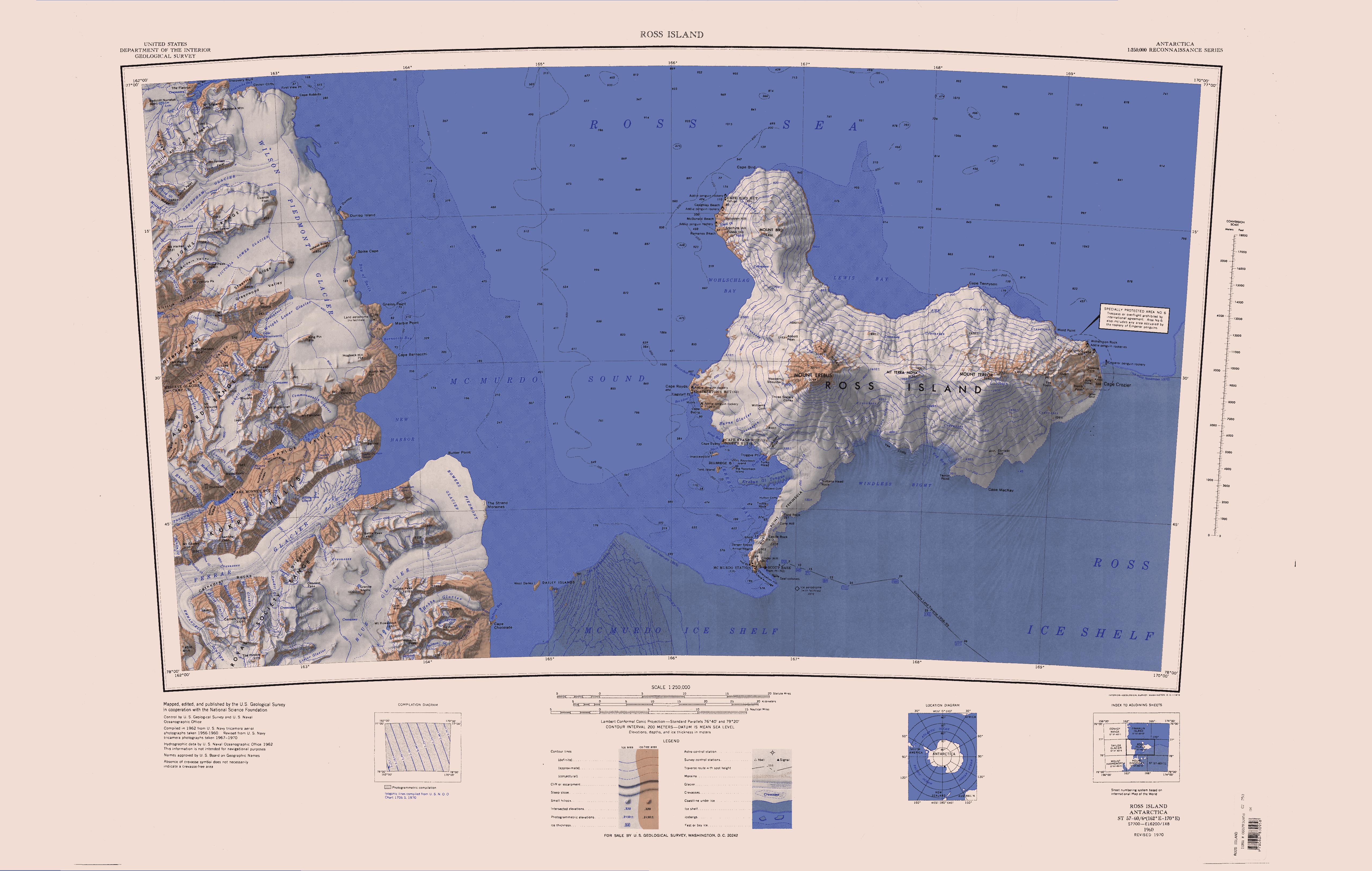
Wilson Piedmont Glacier () is a large piedmont glacier extending from Granite Harbour to Marble Point on the coast of Victoria Land.
Discovery and name
The Wilson Piedmont Glacier was discovered by the ''Discovery'' expedition, 1901–1904. ...
.
Features
Sagittate Hill
A hill with much exposed rock rising to high at the west side of Flint Ridge. Named descriptively by Advisory Committee on Antarctic Names (US-ACAN) (1997) from the shape of the hill which is suggestive of an arrowhead, or the characteristic leaf form.Noxon Cliff
An E-W trending cliff at the south end of Flint Ridge. The cliff encloses the north flank of Commonwealth Glacier where it rises from high above the glacier. Named by US-ACAN (1997) after John F. Noxon, who pioneered the technique of visible spectroscopy for measurements of stratospheric trace gases, particularly nitrogen dioxide. By 1975, he began making measurements of nitrogen dioxide column as a function of latitude, and was surprised to discover an abrupt decrease in the amounts in Arctic air as compared to values observed at lower latitudes. This unexpected phenomenon, width implications for later ozone depletion studies, became known as the "Noxon cliff". In 1978, Noxon sailed on RV Hero from Ushuaia, and quickly confirmed that a "cliff" in nitrogen dioxide is also found in the Antarctic atmosphere.Dominion Hill
A rounded rock summit rising to about high in the east part of Noxon Cliff. Dominion Hill bounds the north edge of Commonwealth Glacier where it descends southeastward intoTaylor Valley
Taylor Valley is an ice-free valley about long, once occupied by the receding Taylor Glacier.
It lies north of the Kukri Hills between the Taylor Glacier and New Harbour in Victoria Land, Antarctica.
Taylor Valley is the southernmost of the ...
.
Named by New Zealand Geographic Board (NZGB) (1998) after a form of government to complement the Commonwealth (of Australia) Glacier.
References
Sources
* * * * * {{Include-USGov , agency=United States Geological Survey Hills of Victoria Land McMurdo Dry Valleys Ridges of Victoria Land Scott Coast