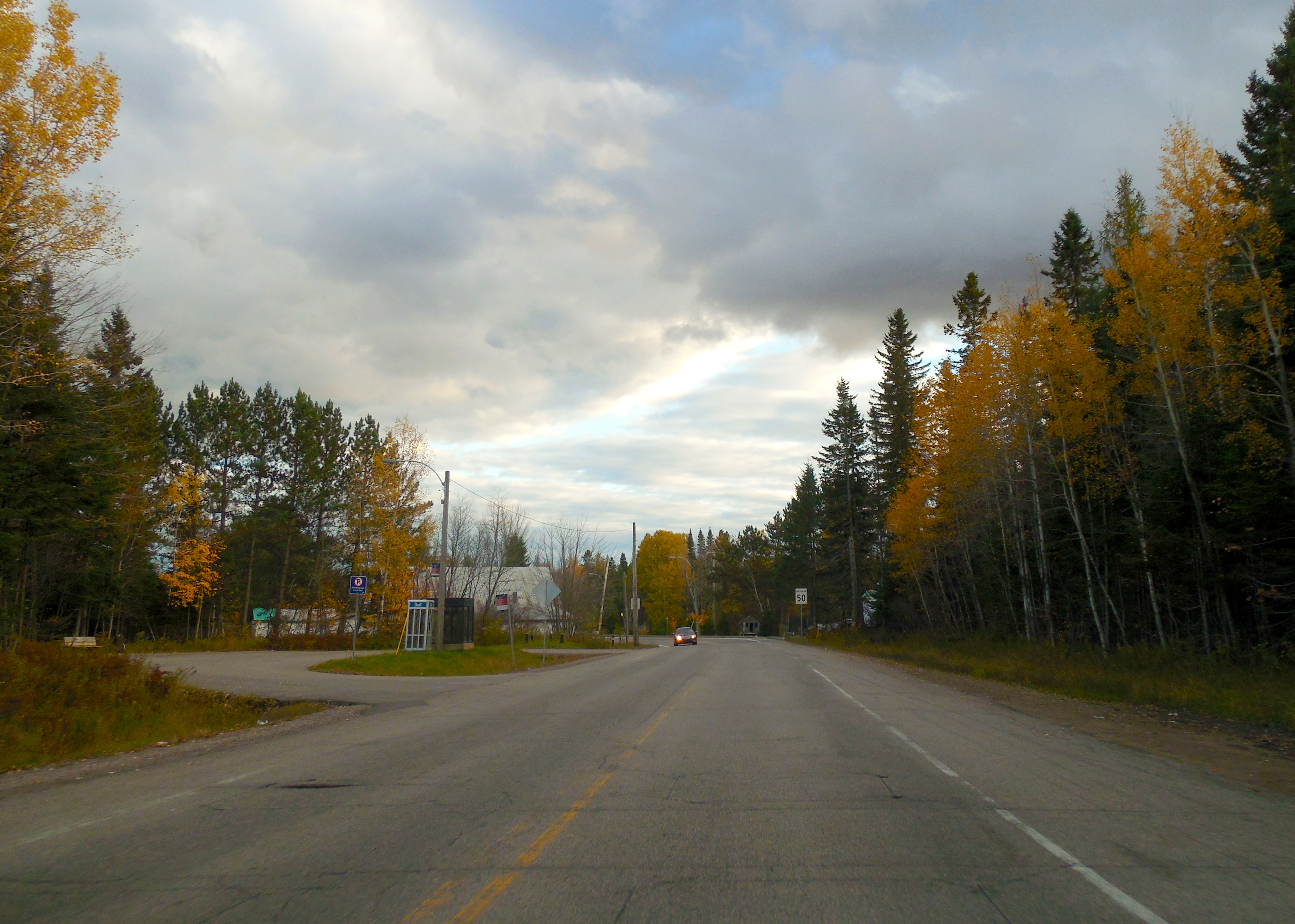
Quebec Route 369 on:
[Wikipedia]
[Google]
[Amazon]
Route 369 is a
 *
*
Official Transports Quebec Map
Route 369
on Google Maps
provincial highway
A state highway, state road, or state route (and the equivalent provincial highway, provincial road, or provincial route) is usually a road that is either numbered or maintained by a sub-national state or province. A road numbered by a state or ...
located in the Capitale-Nationale
Capitale-Nationale (; ) is one of the 17 administrative regions of Quebec. It is anchored by the provincial capital, Quebec City, and is largely coextensive with that city's metropolitan area. It has a land area of 18,684.78 km2. It reported ...
region in south-central Quebec
Quebec is Canada's List of Canadian provinces and territories by area, largest province by area. Located in Central Canada, the province shares borders with the provinces of Ontario to the west, Newfoundland and Labrador to the northeast, ...
. The highway runs from Sainte-Catherine-de-la-Jacques-Cartier and ends in the Beauport sector of Quebec City
Quebec City is the capital city of the Provinces and territories of Canada, Canadian province of Quebec. As of July 2021, the city had a population of 549,459, and the Census Metropolitan Area (including surrounding communities) had a populati ...
at the junctions of Autoroute 40 and Route 360. The highway serves also CFB Valcartier
2nd Canadian Division Support Base Valcartier (2 CDSB Valcartier), formerly known as and commonly referred to as Canadian Forces Base Valcartier (CFB Valcartier), is a Canadian Forces base located in the municipality of Saint-Gabriel-de-Valc ...
military base located just off Autoroute 573.
Towns located along Route 369
 *
* Quebec City
Quebec City is the capital city of the Provinces and territories of Canada, Canadian province of Quebec. As of July 2021, the city had a population of 549,459, and the Census Metropolitan Area (including surrounding communities) had a populati ...
including Beauport, Charlesbourg and Loretteville
Loretteville () is a List of former municipalities in Quebec, former city in central Quebec, Canada. It was amalgamated into Quebec City on January 1, 2002. It is located within the borough of La Haute-Saint-Charles, and also contains the upmark ...
* Val-Belair
* Courcelette
* Shannon
* Sainte-Catherine-de-la-Jacques-Cartier
See also
*List of Quebec provincial highways
This is a list of highways maintained by the government of Quebec.
Autoroutes
The Autoroute system in Quebec is a network of expressways which operate under the same principle of controlled access as the Interstate Highway System in the United ...
External links
Official Transports Quebec Map
Route 369
on Google Maps
369
__NOTOC__
Year 369 ( CCCLXIX) was a common year starting on Thursday of the Julian calendar. At the time, it was known as the Year of the Consulship of Galates and Victor (or, less frequently, year 1122 ''Ab urbe condita''). The denomination ...
Roads in Capitale-Nationale
Streets in Quebec City
{{Quebec-road-stub