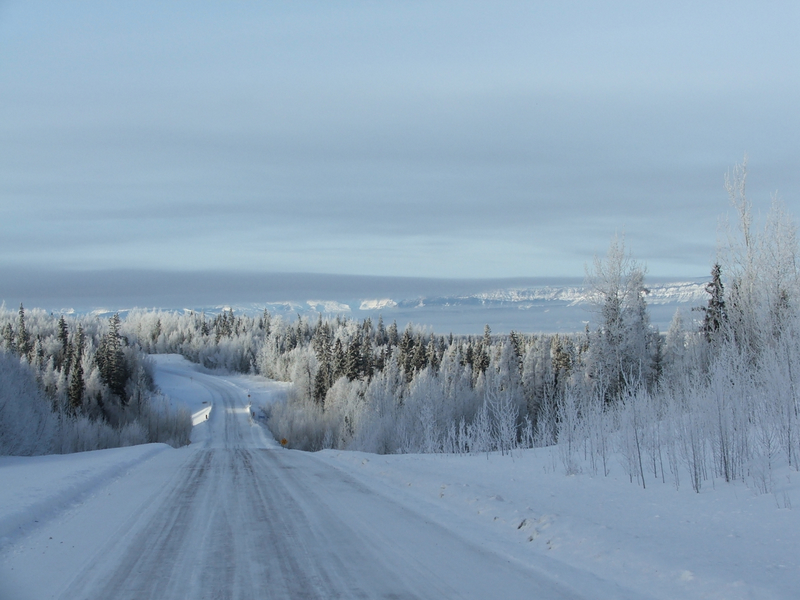
Liard Highway on:
[Wikipedia]
[Google]
[Amazon]
 The Liard Highway (designated Highway 77 in
British Columbia
British Columbia is the westernmost Provinces and territories of Canada, province of Canada. Situated in the Pacific Northwest between the Pacific Ocean and the Rocky Mountains, the province has a diverse geography, with rugged landscapes that ...
and Highway 7 in the Northwest Territories
The Northwest Territories is a federal Provinces and territories of Canada, territory of Canada. At a land area of approximately and a 2021 census population of 41,070, it is the second-largest and the most populous of Provinces and territorie ...
) is a 378 km two-lane highway
A highway is any public or private road or other public way on land. It includes not just major roads, but also other public roads and rights of way. In the United States, it is also used as an equivalent term to controlled-access highway, or ...
in Canada that is the only direct road link between British Columbia and the Northwest Territories. Passing through sparsely populated areas of boreal forest
Taiga or tayga ( ; , ), also known as boreal forest or snow forest, is a biome characterized by pinophyta, coniferous forests consisting mostly of pines, spruces, and larches. The taiga, or boreal forest, is the world's largest land biome. I ...
, it serves as the sole land access route for the communities of Fort Liard
Fort Liard (Slavey language: ''Echaot'l Koe'' "people from the land of the giants" or ''Acho Dene Kue'') is a hamlet in the Dehcho Region of the Northwest Territories, Canada. It is located north of the British Columbia border. It became access ...
and Nahanni Butte
Nahanni Butte ( ; Slavey language: Tthenáágó "strong rock") is a "Designated Authority" in the Dehcho Region of the Northwest Territories, Canada. The community is located at the confluence of the Liard and South Nahanni Rivers in the southwe ...
.
Route
The highway begins at a point on the