Jiuxiang on:
[Wikipedia]
[Google]
[Amazon]
 Jiuxiang Scenic Region () is located in Jiuxiang Yi and Hui Autonomous Township of Yiliang County 90 km away from central
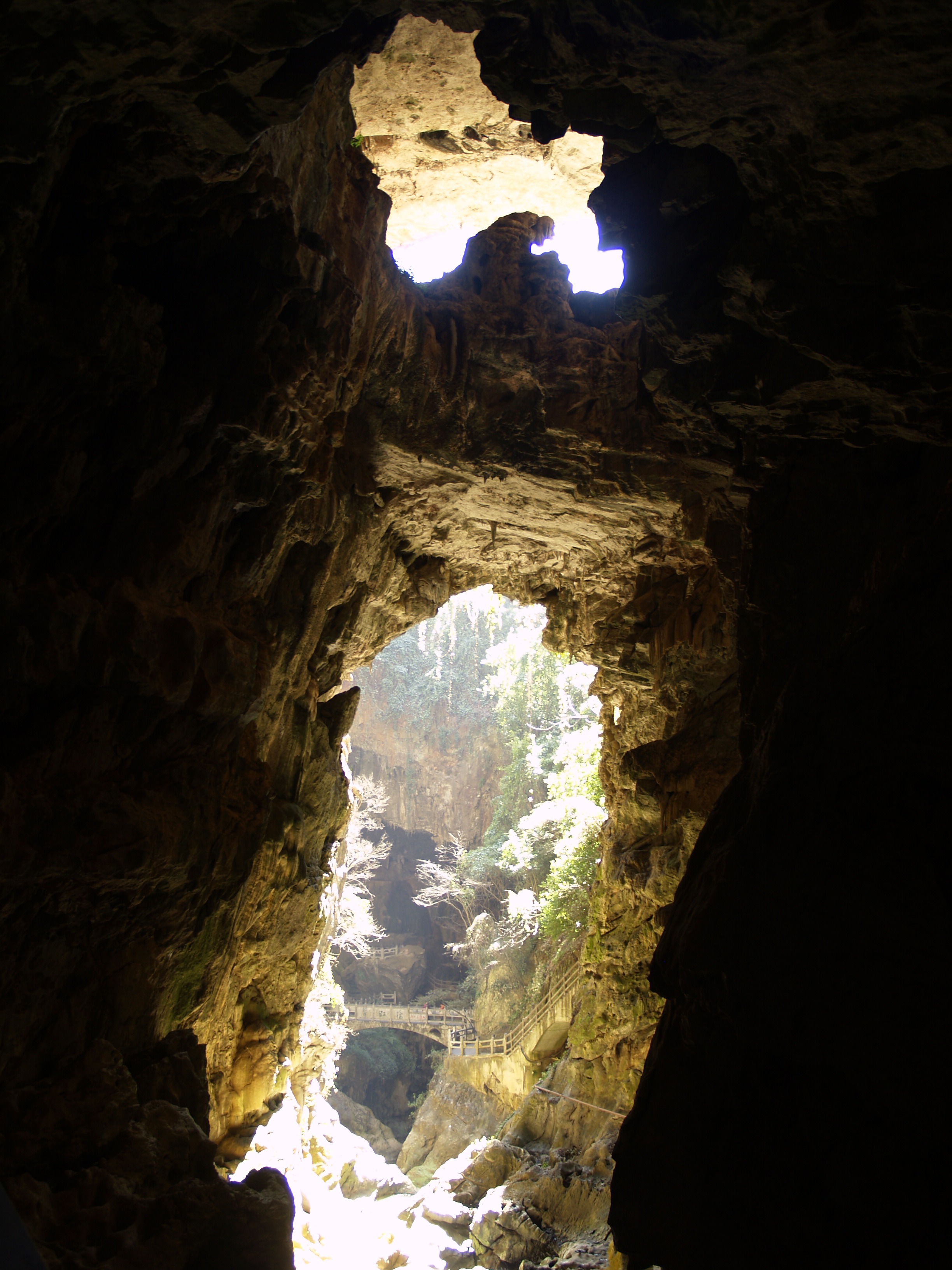
File:Jiuxiang 1.JPG, Grand Underground Valley ()
File:Jiuxiang Fairy Falls.jpg, The Fairy Fields (), featuring rock formations resembling angel wings
Kunming
Kunming is the capital and largest city of the province of Yunnan in China. The political, economic, communications and cultural centre of the province, Kunming is also the seat of the provincial government. During World War II, Kunming was a Ch ...
, Yunnan
Yunnan; is an inland Provinces of China, province in Southwestern China. The province spans approximately and has a population of 47.2 million (as of 2020). The capital of the province is Kunming. The province borders the Chinese provinces ...
Province, China. It is famous for its caves, mountains, rivers, deep valleys, minority customs and cultures.
The Jiuxiang Karst Caves are located inside the region. The caves are distributed along the banks of the Maitian River, a tributary of the Nanpan River
The Nanpan River () has its source in the Yungui Plateau of eastern Yunnan Province. It then flows east, forming part of the border between Guizhou and Guangxi
Guangxi,; officially the Guangxi Zhuang Autonomous Region, is an Autonomous ...
. The caves are developed in the siliceous limestone
Limestone is a type of carbonate rock, carbonate sedimentary rock which is the main source of the material Lime (material), lime. It is composed mostly of the minerals calcite and aragonite, which are different Polymorphism (materials science) ...
strata of the Dengying Formation
The Dengying Formation is an upper Ediacaran (551-541 Ma) fossiliferous geologic Formation (geology), formation found in South China. It was deposited on a shallow marine carbonate platform.
Members
Listed by ascending age:
* The Hamajing Member ...
of the Sinian System. Since the Quaternary Period, the crust has been intermittently uplifted, causing the Jiuxiang Karst Caves to form a multi-layer structure. There is no groundwater
Groundwater is the water present beneath Earth's surface in rock and Pore space in soil, soil pore spaces and in the fractures of stratum, rock formations. About 30 percent of all readily available fresh water in the world is groundwater. A unit ...
in the upper layer, chemical sediments are developed, and there is groundwater in the lower layer. After the top of some caves collapsed, canyons and natural bridges were formed. The main caves include Sanjiao Cave, Xianren Cave, Baixiang Cave, Bat Cave, Dashaba Cave. Some caves were opened as tourist areas in 1989. In 1994, Jiuxiang Scenic Area was listed in the third batch of China's national scenic spots. In August 2009, it was approved as Yunnan Jiuxiang Canyon Cave National Geopark.
Jiuxiang Scenic Region consists of 5 major scenic spots:
*Diehong Bridge ()
*Sanjiao Cave
*Dasha Dam
*Alulong
*Mingyue Lake.
Diehong Bridge itself includes six major scenic spots: the Green Shady Valley, the White Elephant Cave, the Goddess Cave, the Lying Dragon Cave, the Bat Cave and the Tourist Cableway.
References
* https://web.archive.org/web/20080516222412/http://www.kmtrip.net/en/city/kunming/attraction/jiuxiang.htm {{coord, 25, 04, 34, N, 103, 20, 39, E, region:CN_type:landmark_source:kolossus-zhwiki, display=title Geography of Kunming Tourist attractions in Yunnan Karst caves Karst formations of Yunnan