|
Zekiah Swamp Natural Environment Area
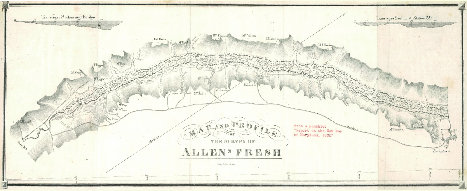
Zekiah Swamp is part of the Potomac River basin in Charles County, Maryland in the United States. The swamp is of braided stream stretching the length of Charles County and is a tributary of the Potomac River. It sits at an elevation of and of its southern end is protected as the Zekiah Swamp Natural Environment Area. The Maryland Department of Natural Resources has the authority to purchase an additional for the park. Charles County has moved to protect an additional of the wetland. The headwaters of the swamp are protected as part of Cedarville State Forest. It was first accurately surveyed by John Henry Alexander, Maryland's official cartographer, in 1835, as "Allen's Fresh". History Maryland was formed as an English colony in 1634. One of the original Thirteen Colonies, the Province of Maryland was established by Cecilius Calvert, 2nd Baron Baltimore as a haven for Roman Catholic Englishmen. Much of Zekiah Swamp is now thickly wooded and very swampy, but during the coloni ... [...More Info...] [...Related Items...] OR: [Wikipedia] [Google] [Baidu] |
Charles County, Maryland
Charles County is a county located in the U.S. state of Maryland. As of the 2020 United States census, the population was 166,617. The county seat is La Plata. The county was named for Charles Calvert (1637–1715), third Baron Baltimore. The county is part of the Southern Maryland region of the state. With a median household income of $103,678, Charles County is the 39th-wealthiest county in the United States as of 2020, and the highest-income county in the United States with a Black-majority population. History Charles County was created in 1658 by an Order in Council. There was also an earlier Charles County from 1650 to 1654, sometimes referred to in historic documents as Old Charles County, which consisted largely of lands within today's borders but "included parts of St. Mary’s, Calvert, present-day Charles, and Prince George’s County". John Tayloe I purchased land around Nanjemoy Creek after 1710 from which to mine iron and ship to his furnaces at Bristol Ir ... [...More Info...] [...Related Items...] OR: [Wikipedia] [Google] [Baidu] |
Piscataway Indians
The Piscataway or Piscatawa , are an Indigenous people of the Northeastern Woodlands. They spoke Algonquian Piscataway, a regional dialect similar to Nanticoke. The neighboring Haudenosaunee, called them the Conoy, with whom they partly merged with after a massive decline of population and rise in colonial violence following two centuries of interactions with European settlers. Two major groups that represent Piscataway descendants received state recognition as Native American tribes from Maryland in 2012: the Piscataway Indian Nation and Piscataway Conoy Tribe. Within the latter group was included the Piscataway Conoy Confederacy and Sub-Tribes and the Cedarville Band of Piscataway Indians. All these groups descend from the Western Bank of the Chesapeake, spanning across Maryland, Virginia, D.C, Pennsylvania, and West Virginia, and are primarily located in Southern Maryland. None are federally recognized despite over a half-century tribal movement in being recognized as st ... [...More Info...] [...Related Items...] OR: [Wikipedia] [Google] [Baidu] |

