|
Zeihen
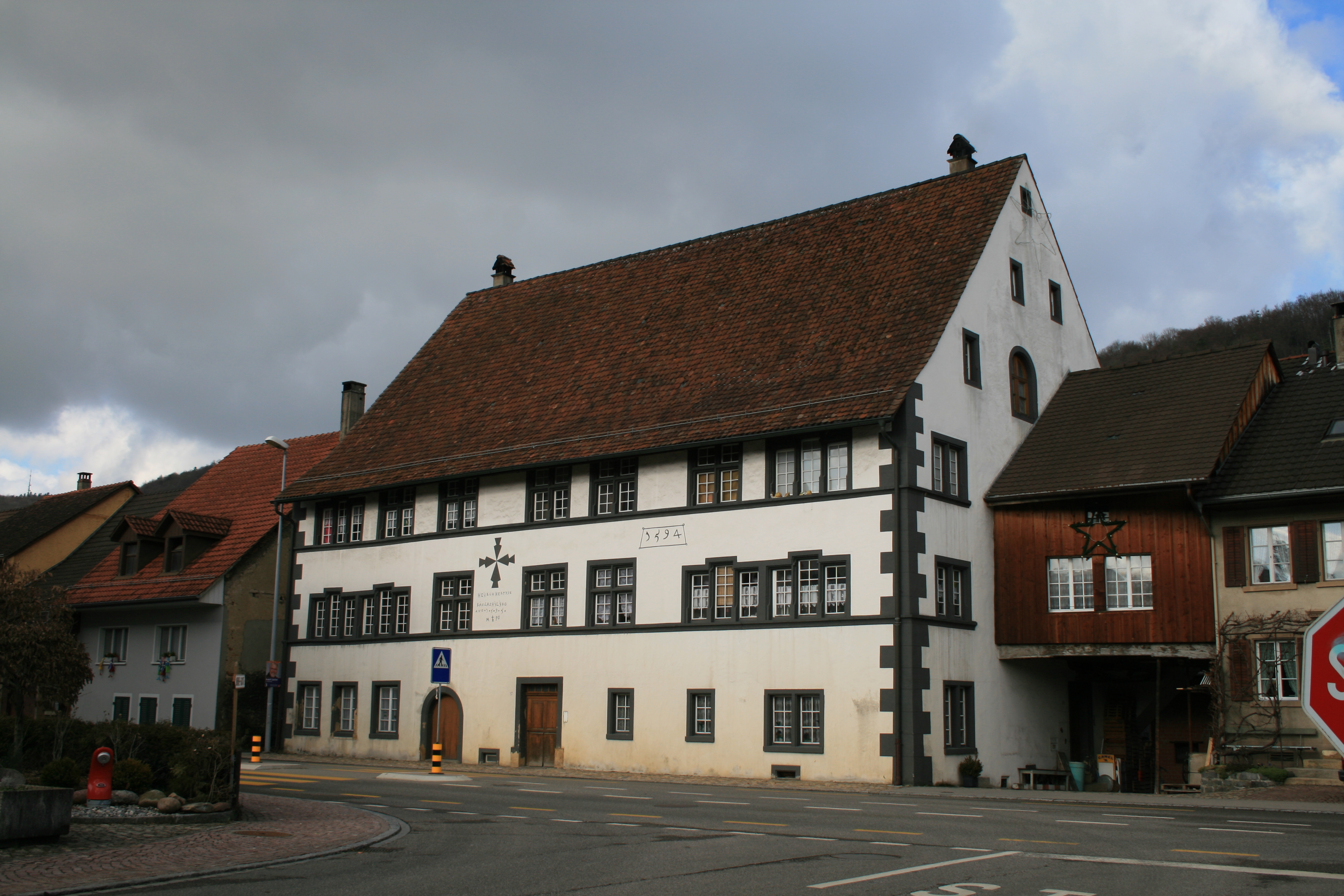
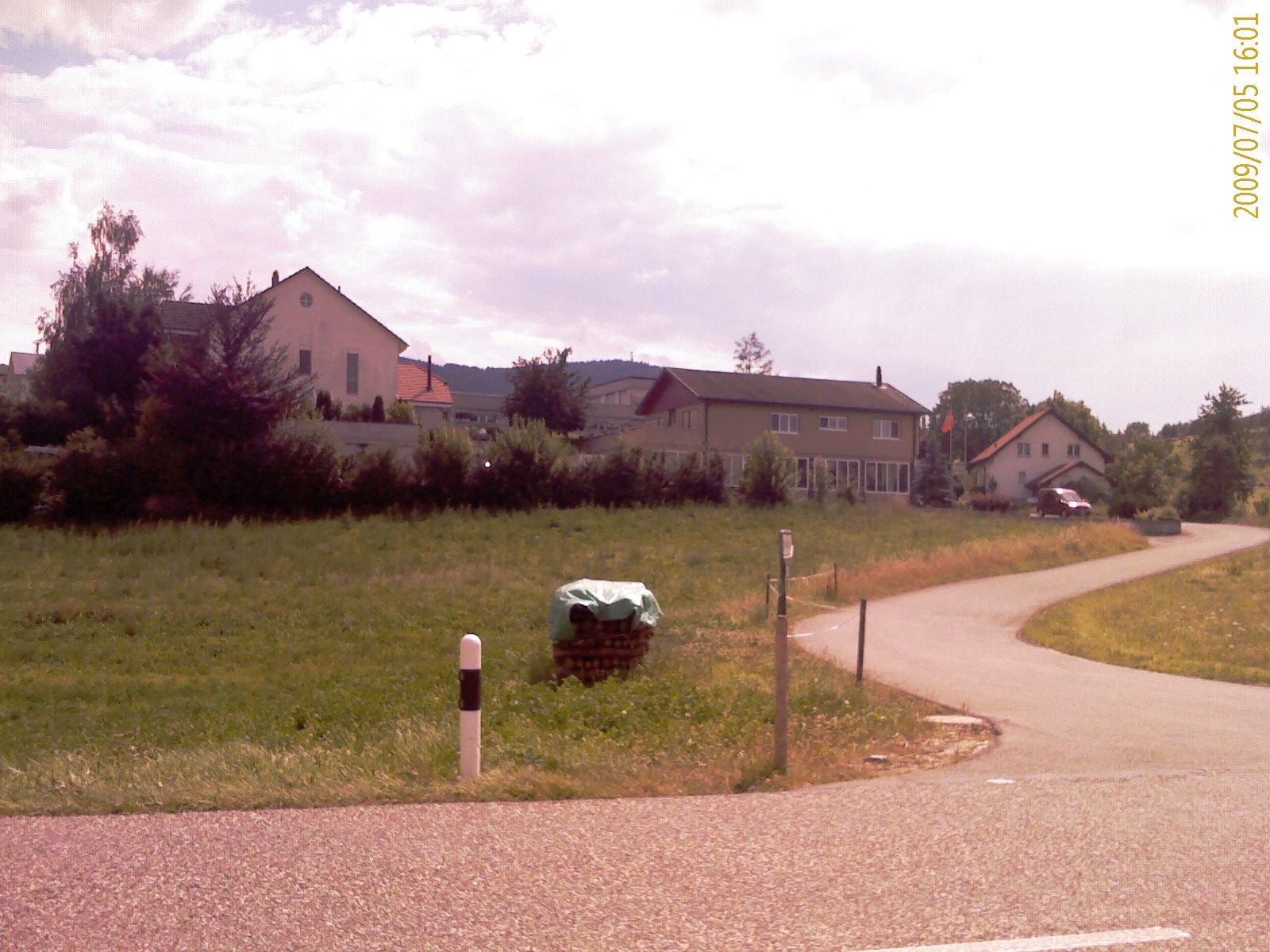
Zeihen is a municipality in the district of Laufenburg in the canton of Aargau in Switzerland. Geography Zeihen has an area, , of . Of this area, or 50.9% is used for agricultural purposes, while or 40.7% is forested. Of the rest of the land, or 8.6% is settled (buildings or roads), or 0.1% is either rivers or lakes and or 0.1% is unproductive land.Swiss Federal Statistical Office-Land Use Statistics 2009 data accessed 25 March 2010 Of the built up area, housing and buildings made up 4.7% and transportation infrastructure made up 3.5%. Out of the forested land, 37.5% of the total land area is heavily forested and 3.2% is covered with orchards or small clusters of trees. Of the agricultural land, 23.5% is used for growing crops and 24.4% is pas ... [...More Info...] [...Related Items...] OR: [Wikipedia] [Google] [Baidu] |
Zeihen02
Zeihen is a municipality in the district of Laufenburg in the canton of Aargau in Switzerland. Geography Zeihen has an area, , of . Of this area, or 50.9% is used for agricultural purposes, while or 40.7% is forested. Of the rest of the land, or 8.6% is settled (buildings or roads), or 0.1% is either rivers or lakes and or 0.1% is unproductive land.Swiss Federal Statistical Office-Land Use Statistics 2009 data accessed 25 March 2010 Of the built up area, housing and buildings made up 4.7% and transportation infrastructure made up 3.5%. Out of the forested land, 37.5% of the total land area is heavily forested and 3.2% is covered with orchards or small clusters of trees. Of the agricultural land, 23.5% is used for growing crops and 24.4% is past ... [...More Info...] [...Related Items...] OR: [Wikipedia] [Google] [Baidu] |
Laufenburg (district)
Laufenburg District is a district of the canton of Aargau, Switzerland, essentially consisting of the upper Fricktal valley in the Aargau Jura south of the Rhine. Its capital is the town of Laufenburg. It has a population of (as of ). Geography The Laufenburg district has an area, , of . Of this area, or 49.2% is used for agricultural purposes, while or 39.2% is forested. Of the rest of the land, or 10.4% is settled (buildings or roads). Demographics The Laufenburg district has a population () of . , 15.6% of the population are foreign nationals.Statistical Department of Canton Aargau -Bereich 01 -Bevölkerung accessed 20 January 2010 Economy there were 13,183 workers who lived in the district. Of these, 9,714 or about 73.7% of the residents worked outside the district w ...[...More Info...] [...Related Items...] OR: [Wikipedia] [Google] [Baidu] |
Herznach
Herznach is a former municipality in the district of Laufenburg in the canton of Aargau in Switzerland. On 1 January 2023 the former municipalities of Herznach and Ueken merged to form the new municipality of Herznach-Ueken. History While some Alamanni era graves have been discovered, the first mention of Herznach is in 1097 as ''Hercenahc''. The Ministerialis (unfree knights in the service of another lord) family von Herznach and Herznach castle are both mentioned. The castle was built on the foundations of a manor house from the 7th-10th Centuries. was built. Originally both Herznach and Ueken were ruled by the Homberger family. In the early 14th Century, the Habsburgs had the right to judge and punish theft and other felonies in Herznach. Between the Imperial Reform (1495) of Maximilian I until the fall of the Ancien Régime (1797) it belonged to the Austrian District of Rheinfelden. The rights to '' Zwing und Bann'' (administration of the Commons as well as low j ... [...More Info...] [...Related Items...] OR: [Wikipedia] [Google] [Baidu] |
Bözen
Bözen is a former municipality in the district of Brugg in canton of Aargau in Switzerland. On 1 January 2022 the former municipalities of Bözen, Effingen, Elfingen and Hornussen merged into the new municipality of Böztal. History The earliest evidence of people in Bözen are a neolithic stone ax, a Roman Estate and Alamanni graves. Bözen is first mentioned in 1284 as ''Boze''. During the Middle Ages it was owned by Elfingen. Then, in 1291 it was sold, along with most of the Aargau, by Murbach Abbey to the Habsburgs In 1322 it came under the authority of Königsfelden abbey in Windisch. The village was bought by Bern in 1514. Starting in the 16th century, Bözen together with Elfingen and Effingen formed a low justice district. The chapel of Bözen was first mentioned in 1381, and was originally part of the parish of Elfingen. Presumably in 1600 the parish was transferred to Bözen. Economically the village was dominated by agriculture with a number of vineyard ... [...More Info...] [...Related Items...] OR: [Wikipedia] [Google] [Baidu] |
Effingen
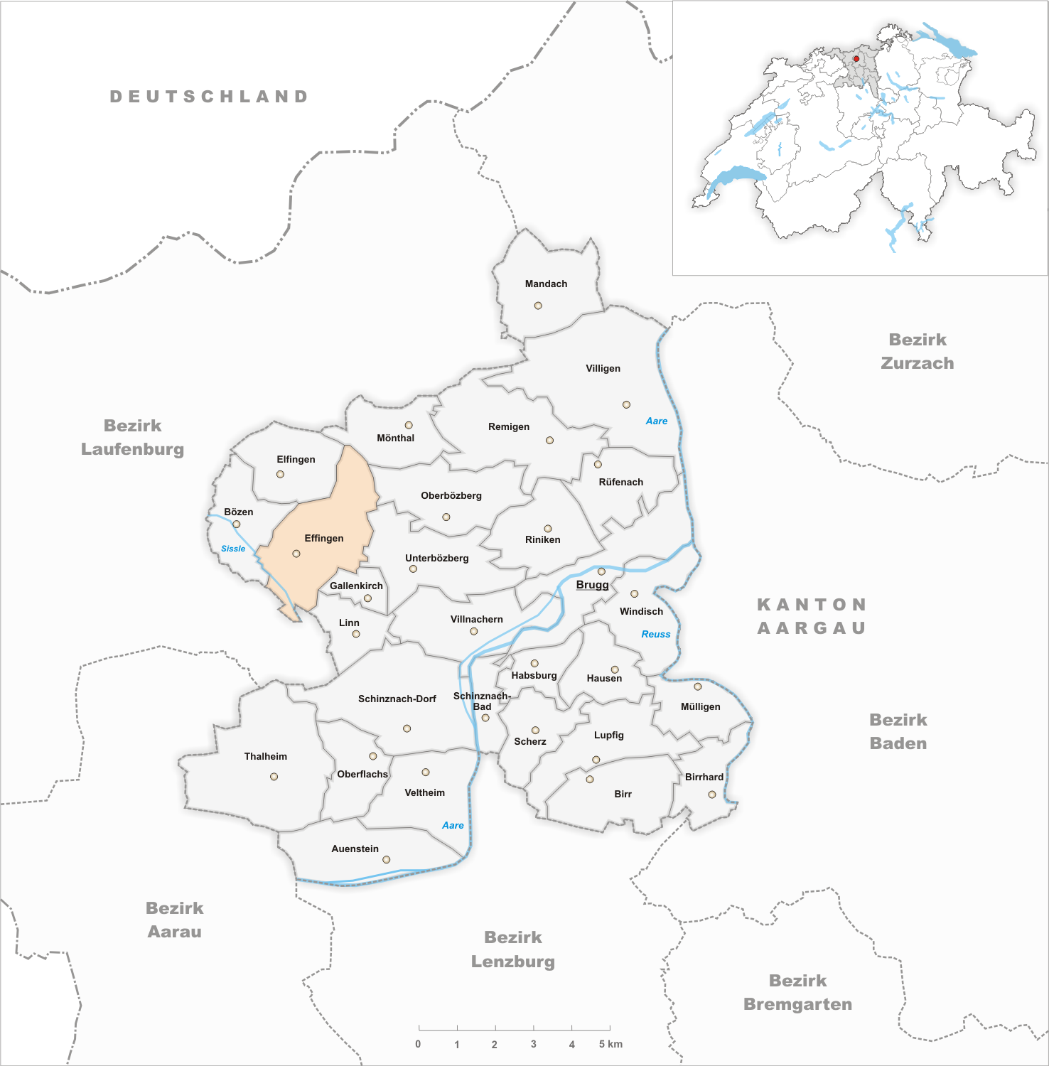
Effingen is a former municipality in the district of Brugg in canton of Aargau in Switzerland. On 1 January 2022 the former municipalities of Bözen, Effingen, Elfingen and Hornussen merged into the new municipality of Böztal. History Effingen is first mentioned in 1284 as ''Efingen'' though the area was settled earlier. The earliest evidence of a settlement is a High Middle Ages chapel with associated Alamanni graves. Effingen belonged to the court of Elfingen until 1460 when it was purchased by Bern. Under Bern it belonged to the court of Bözen of the Schenkenberg Bailiwick. By 1550 the village administrative rights were limited and in 1614 village officials were first mentioned. Effingen's chapel belonged to the parish of Elfingen and after 1600 to the parish of Bözen. By no later than 1684 there was a village school. Until the 19th century agriculture prevailed with wine being the most important product. In the 18th century home processing of cotton brought ... [...More Info...] [...Related Items...] OR: [Wikipedia] [Google] [Baidu] |
Hornussen, Switzerland
Hornussen is a former municipality in the district of Laufenburg in the canton of Aargau in Switzerland. On 1 January 2022 the former municipalities of Bözen, Effingen, Elfingen and Hornussen merged into the new municipality of Böztal. History Scattered archeological discoveries indicate that the land that would become Hornussen was lightly occupied during the Stone Age. During the Roman era, it was located on the important route over the ''Bözberg''. However, the first mention of Hornussen is in 1281 as ''Hornescon''. Until the 1802 Act of Mediation, all manor rights to the village were held by collegiate church of Säckingen. Until 1797 it was part of the Austrian- Habsburg Rheinfelden District. Since 1803 Hornussen has belong to the Canton of Aargau. Starting in the 15th Century, the Manor of Hornussen had a formal special status within the Habsburg territory. The lord of the manor was the court of appeals for all of Säckingen and also the economic center of ... [...More Info...] [...Related Items...] OR: [Wikipedia] [Google] [Baidu] |
Elfingen
Elfingen is a former municipality in the district of Brugg in canton of Aargau in Switzerland. On 1 January 2022 the former municipalities of Bözen, Effingen, Elfingen and Hornussen merged into the new municipality of Böztal. History While Alamanni graves have been discovered in the municipality and it was the seat of a fief holder from Murbach Abbey in the 7th Century, Elfingen is first mentioned in 1245 as ''Eolfingen''. When the Abbey sold their holdings in Aargau to the Habsburg in 1291, Elfingen was included. It came under the authority of Bern starting in 1460 and was part of the bailiwick Schenkenberg. The Catholic parish church, was consecrated in 1323 to St. Leodegar. However the parish seat moved in the 16th Century to Bözen. The new parish included Bözen, Effingen, Zeihen (until 1528), Linn (to 1649) and Densbüren (1528–1642). The parsonage remained in Elfingen until 1824, when it moved to Bözen. By 1720 the village had its own school. Until t ... [...More Info...] [...Related Items...] OR: [Wikipedia] [Google] [Baidu] |
Densbüren
Densbüren is a municipality in the Aarau District of the canton of Aargau in Switzerland. History Densbüren is first mentioned in the 14th century as ''Tensbuirron''. In 1426, it was mentioned as ''Teinspuiren''. Geography Densbüren has an area, , of . Of this area, 39.2% is used for agricultural purposes, while 55.7% is forested. Of the rest of the land, 4.8% is settled (buildings or roads) and the remainder (0.2%) is non-productive (rivers or lakes). The municipality is located in the Aarau District on the northern slope of the Staffelegg Pass, a regionally important pass over the Jura Mountains. It consists of the linear village of Densbüren and the hamlets of Asp. Coat of arms The blazon of the municipal coat of arms is ''Argent bordered Gules a Pine Tree Vert issuant from Coupeaux of the same.'' Demographics Densbüren has a population (as of ) of . , 7.7% of the population was made up of foreign nationals. [...More Info...] [...Related Items...] OR: [Wikipedia] [Google] [Baidu] |
Linn, Switzerland
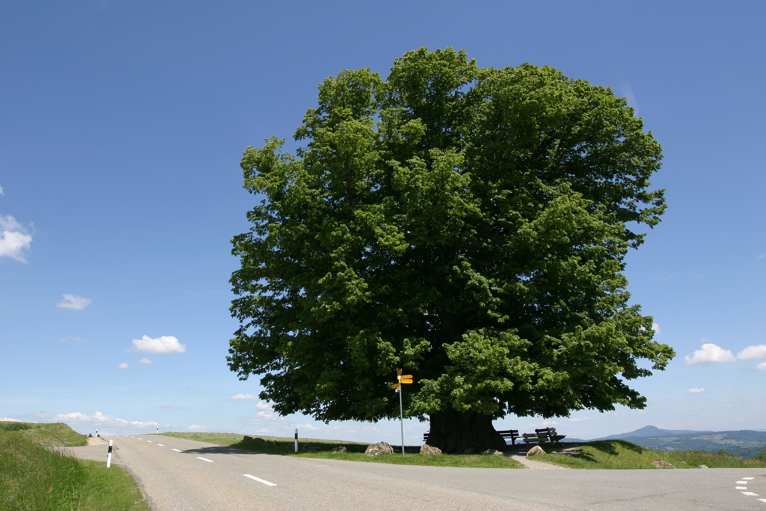
Linn is a former municipality in the district of Brugg in canton of Aargau in Switzerland. On 1 January 2013 the former municipalities of Gallenkirch, Linn, Oberbözberg and Unterbözberg merged to form the new municipality of Bözberg.Amtliches Gemeindeverzeichnis der Schweiz published by the Swiss Federal Statistical Office accessed 2 January 2013 History Linn is first mentioned around 1303-08 as ''ze Linne''. In 1307 it was mentioned as ''ze Lind''. The name is probably connected with the 500- to 800-year-old, legendary Linden tree which is east of Linn. In the[...More Info...] [...Related Items...] OR: [Wikipedia] [Google] [Baidu] |
Schinznach-Dorf
Schinznach-Dorf is a former municipality in the district of Brugg in canton of Aargau in Switzerland. On 1 January 2014 the former municipalities of Schinznach-Dorf and Oberflachs merged into the new municipality of Schinznach.Nomenklaturen – Amtliches Gemeindeverzeichnis der Schweiz accessed 13 December 2014 Geography Before the merger, Schinznach-Dorf had a total area of . Of this area, or 37.1% is used for agricultural purposes, while or 46.0% is forested. Of the rest of the land, or 13.4% is settled (buildings or roads), or 3.3% is either rivers or lakes.[...More Info...] [...Related Items...] OR: [Wikipedia] [Google] [Baidu] |
Thalheim, Aargau
Thalheim is a municipality in the district of Brugg in the canton of Aargau in Switzerland. Geography Thalheim has an area, , of . Of this area, or 49.9% is used for agricultural purposes, while or 43.5% is forested. Of the rest of the land, or 5.8% is settled (buildings or roads), or 0.1% is either rivers or lakes.Swiss Federal Statistical Office-Land Use Statistics 2009 data accessed 25 March 2010 Of the built up area, housing and buildings made up 2.4% and transportation infrastructure made up 2.7%. 40.1% of the total land area is heavily forested and 3.4% is covered with orchards or small clusters of trees. Of the agricultural land, 17.9% is used for growing crops and 29.7% is pastures, while 2.4% is used for orchards or vine crops. All th ... [...More Info...] [...Related Items...] OR: [Wikipedia] [Google] [Baidu] |
Ueken
Ueken is a former municipality in the district of Laufenburg in the canton of Aargau in Switzerland. On 1 January 2023 the former municipalities of Herznach and Ueken merged to form the new municipality of Herznach-Ueken. History In 2015, a farmer discovered coins dating back to the Roman Empire in his garden. The farmer contacted the regional archaeological service and 4,166 coins were excavated. An archaeologist who worked on the excavation described the find as "an exceptional discovery" and "a whole new category which is almost unique." The coins date from the reign of Aurelian in 274 CE to the reign of Maximian in 294 CE. The archaeologists hypothesize that the coins belonged to a tradesman or landowner. The coins will go on display at the Vindonissa de Brugg Museum in Aargau. Geography Ueken has an area, , of . Of this area, or 51.6% is used for agricultural purposes, while or 38.6% is forested. Of the rest of the land, or 9.2% is settled (buildings or roads), or 0. ... [...More Info...] [...Related Items...] OR: [Wikipedia] [Google] [Baidu] |


