|
Yamada Denki
is one of the largest consumer electronics retailer chains in Japan. Overview The company was founded in 1973 as a privately owned store. Yamada Denki Co., Ltd. was established in 1983. The current corporation was created on May 21, 1987, by a merger with the dormant company "Japan Electrical Wiring Industries", founded in 1978, via a change in the face value of the stock, and a change in the company name (to Kabushiki-gaisha Yamada Denki). Yamada Denki is listed in the first division of the Tokyo Stock Exchange, and the location of its head office is 1-1 Sakae-cho, Takasaki, Gunma. In February 2005, the company achieved sales figures of 1 trillion yen, making it the first specialist retailer in Japan to do so. At the end of 2004, the company had 223 directly run stores across Japan, and 33 stores owned by subsidiaries, a total of 256 stores. It aims to expand further by branching out into small-scale retail and retail in the areas close to train stations. With the opening o ... [...More Info...] [...Related Items...] OR: [Wikipedia] [Google] [Baidu] |
Public Company
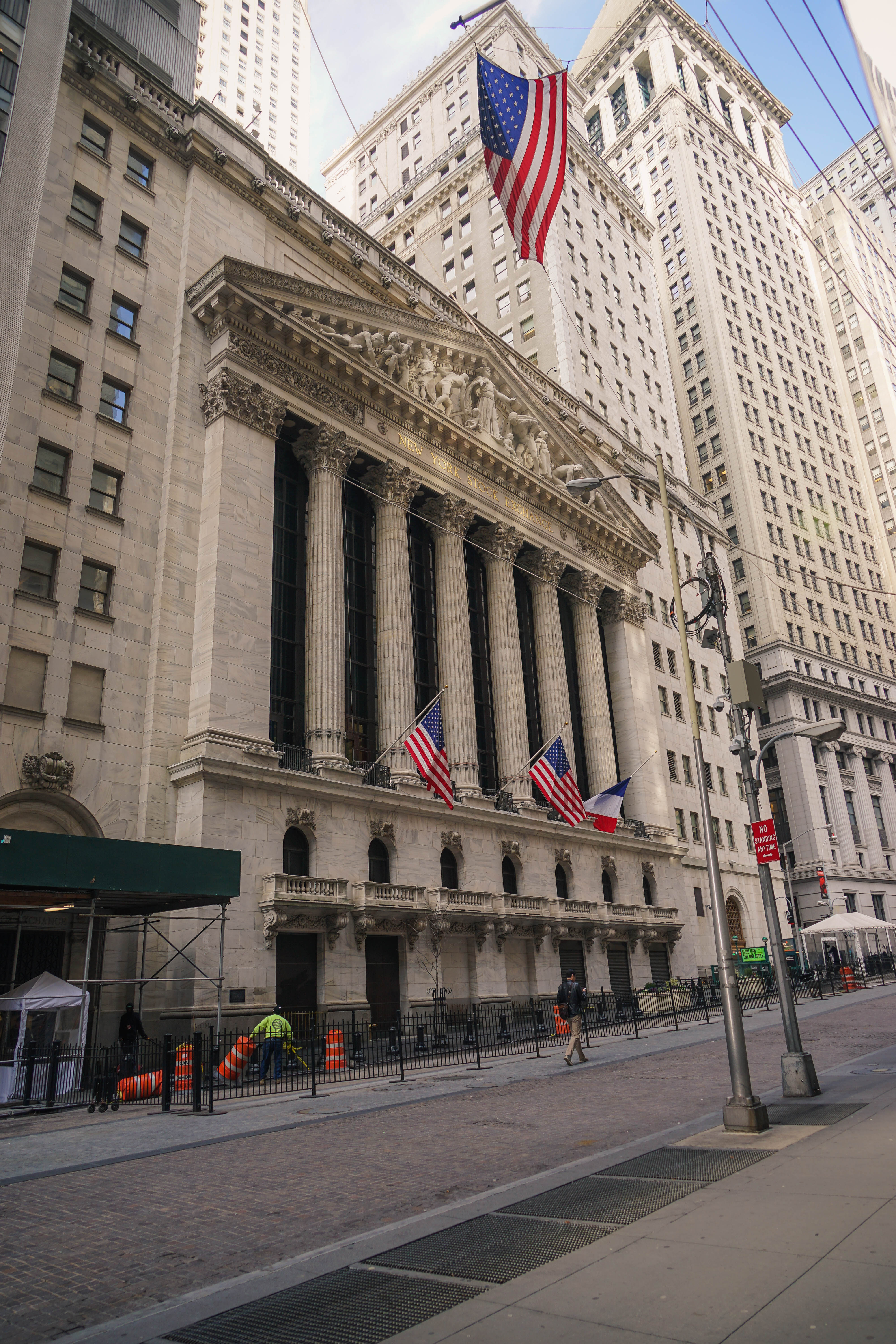
A public company is a company whose ownership is organized via shares of share capital, stock which are intended to be freely traded on a stock exchange or in over-the-counter (finance), over-the-counter markets. A public (publicly traded) company can be listed on a stock exchange (listing (finance), listed company), which facilitates the trade of shares, or not (unlisted public company). In some jurisdictions, public companies over a certain size must be listed on an exchange. In most cases, public companies are ''private'' enterprises in the ''private'' sector, and "public" emphasizes their reporting and trading on the public markets. Public companies are formed within the legal systems of particular states and so have associations and formal designations, which are distinct and separate in the polity in which they reside. In the United States, for example, a public company is usually a type of corporation, though a corporation need not be a public company. In the United Kin ... [...More Info...] [...Related Items...] OR: [Wikipedia] [Google] [Baidu] |
Subsidiary
A subsidiary, subsidiary company, or daughter company is a company (law), company completely or partially owned or controlled by another company, called the parent company or holding company, which has legal and financial control over the subsidiary company. Unlike regional branches or divisions, subsidiaries are considered to be distinct entities from their parent companies; they are required to follow the laws of where they are incorporated, and they maintain their own executive leadership. Two or more subsidiaries primarily controlled by same entity/group are considered to be sister companies of each other. Subsidiaries are a common feature of modern business, and most multinational corporations organize their operations via the creation and purchase of subsidiary companies. Examples of holding companies are Berkshire Hathaway, Jefferies Financial Group, The Walt Disney Company, Warner Bros. Discovery, and Citigroup, which have subsidiaries involved in many different Industry (e ... [...More Info...] [...Related Items...] OR: [Wikipedia] [Google] [Baidu] |
Okayama Prefecture
is a Prefectures of Japan, prefecture of Japan located in the Chūgoku region of Honshu. Okayama Prefecture has a population of 1,826,059 (1 February 2025) and has a geographic area of 7,114 Square kilometre, km2 (2,746 sq mi). Okayama Prefecture borders Tottori Prefecture to the north, Hyōgo Prefecture to the east, and Hiroshima Prefecture to the west. Okayama is the capital and largest city of Okayama Prefecture, with other major cities including Kurashiki, Tsuyama, and Sōja. Okayama Prefecture's south is located on the Seto Inland Sea coast across from Kagawa Prefecture on the island of Shikoku, which are connected by the Great Seto Bridge, while the north is characterized by the Chūgoku Mountains. History Prior to the Meiji Restoration of 1868, the area of present-day Okayama Prefecture was divided between Bitchū Province, Bitchū, Bizen Province, Bizen and Mimasaka Province, Mimasaka Provinces. Okayama Prefecture was formed and named in 1871 as part of the large-scale ... [...More Info...] [...Related Items...] OR: [Wikipedia] [Google] [Baidu] |
Adachi-ku
is a Special wards of Tokyo, special ward in the Tokyo, Tokyo Metropolis in Japan. It is located to the north of the heart of Tokyo. The ward consists of two separate areas: a small strip of land between the Sumida River and Arakawa River (Kanto), Arakawa River and a larger area north of the Arakawa River. The ward is bordered by the cities of Kawaguchi, Saitama, Kawaguchi, Sōka, Saitama, Sōka and Yashio, Saitama, Yashio in Saitama Prefecture, Saitama and Katsushika, Tokyo, Katsushika, Sumida, Tokyo, Sumida, Arakawa, Tokyo, Arakawa and Kita, Tokyo, Kita in Tokyo. The ward is called Adachi City in English. As of May 1, 2015, the ward has an estimated population of 692,707 and a population density of 13,010 persons per km2. The total area is 53.25 km2. The Adachi Land Transportation Office is located here, and automobiles registered at this office bear Adachi Japanese license plates, number plates. History Under the Ritsuryō system, the present-day ward was the southe ... [...More Info...] [...Related Items...] OR: [Wikipedia] [Google] [Baidu] |
Saitama Prefecture
is a Landlocked country, landlocked Prefectures of Japan, prefecture of Japan located in the Kantō region of Honshu. Saitama Prefecture has a population of 7,338,536 (January 1, 2020) and has a geographic area of 3,797 Square kilometre, km2 (1,466 Square mile, sq mi). Saitama Prefecture borders Tochigi Prefecture and Gunma Prefecture to the north, Nagano Prefecture to the west, Yamanashi Prefecture to the southwest, Tokyo to the south, Chiba Prefecture to the southeast, and Ibaraki Prefecture to the northeast. Saitama, Saitama, Saitama is the capital and largest city of Saitama Prefecture, with other major cities including Kawaguchi, Saitama, Kawaguchi, Kawagoe, Saitama, Kawagoe, and Tokorozawa, Saitama, Tokorozawa. History of Kujiki According to ''Sendai Kuji Hongi'' (), Chichibu was one of 137 provinces during the reign of Emperor Sujin. Chichibu Province was in western Saitama. The area that would become Saitama Prefecture in the 19th century is part of Musashi Provinc ... [...More Info...] [...Related Items...] OR: [Wikipedia] [Google] [Baidu] |
Kumagaya, Saitama
is a city located in Saitama Prefecture, Japan. , the city had an estimated population of 195,277 in 87,827 households and a population density of 1200 persons per km2. The total area of the city is . Geography Kumagaya is one of the largest cities in northern Saitama Prefecture. About two-thirds of the city area is located between the Tone River and the Arakawa River alluvial fan, approximately 60 km from central Tokyo and 45 km from the prefectural capital at Saitama City. The highest point in the city is Mikajiri Kannon, which is located on the Kushibiki plateau at an altitude of 83.3 meters. The city is known for its abundant and high quality ground water. Surrounding municipalities Gunma Prefecture * Chiyoda * Oizumi * Ōta Saitama Prefecture * Fukaya * Gyōda * Higashimatsuyama * Kōnosu * Namegawa * Ranzan * Yoshimi Climate Kumagaya has a humid subtropical climate (Köppen climate classification: ''Cfa'') characterized by warm summers and cool wint ... [...More Info...] [...Related Items...] OR: [Wikipedia] [Google] [Baidu] |
Suruga-ku, Shizuoka
is one of three Wards of Japan, wards of Shizuoka, Shizuoka, Japan, located in the southern part of the city. The north east of Suruga-ku faces Aoi-ku, Shizuoka, Aoi-ku; the north west faces Shimizu-ku, Shizuoka, Shimizu-ku; the south west faces Yaizu, Shizuoka, Yaizu city and the south east faces Suruga Bay. History Suruga-ku was created on April 1, 2005 when Shizuoka became a city designated by government ordinance (a "designated city"). It consists of the area of Shizuoka prior to its merger with Shimizu-ku, Shizuoka, Shimizu, south of the Tōkaidō Main Line rail tracks. Population As of 1 December 2019, Suruga-ku had a population of 210,684, with a land area of 73.06 km2 and a population density of 2,884 persons per km2. Education It has a Chosen gakko, North Korean school, Shizuoka Korean Elementary and Junior High School (:ja:静岡朝鮮初中級学校, 静岡朝鮮初中級学校). References ---- * Wards of Shizuoka (city) {{Shizuoka-geo-s ... [...More Info...] [...Related Items...] OR: [Wikipedia] [Google] [Baidu] |
Route 11 (Nagoya Expressway)
is an urban Expressways of Japan, expressway in Nagoya and Komaki, Aichi, Japan. It is a part of the Nagoya Expressway network and is owned and operated by Nagoya Expressway Public Corporation. Overview The route is a northward extension of Route 1 (Nagoya Expressway), Route 1 which terminates at its junction with the Higashi-Meihan Expressway. Route 11 continues as an elevated expressway above the median of Japan National Route 41, National Route 41. The terminus is at Komaki-kita Interchange, which also provides direct access to the Meishin Expressway and Tōmei Expressway The expressway is 4 lanes for its entire length and was opened to traffic in 2001. The toll is 350 yen for passenger cars and light trucks (including 2-wheeled vehicles) and 700 yen for large trucks and buses. Electronic Toll Collection (ETC) is not accepted at the entrance of Horinouchi Interchange. However, the toll at this entrance is only 200 yen for passenger cars. The same discounted toll applies to v ... [...More Info...] [...Related Items...] OR: [Wikipedia] [Google] [Baidu] |
Shizuoka, Shizuoka
is the capital city of Shizuoka Prefecture, Japan, and the prefecture's second-largest city in both population and area. It has been populated since prehistoric times. the city had an estimated population of 677,867 in 106,087 households, and a population density of . Overview The city's name is made up of two ''kanji'', ''shizu'', meaning "still" or "calm"; and ''oka'', meaning "hill(s)". In 1869, Shizuoka Domain was first created out of the older Sunpu Domain, and that name was retained when the city was incorporated in 1885. In 2003, Shizuoka absorbed neighboring Shimizu City (now Shimizu-ku, Shizuoka, Shimizu Ward) to create the new and expanded city of Shizuoka, briefly becoming the largest city by land area in Japan. In 2005, it became one of Japan's "Cities designated by government ordinance of Japan, designated cities". Cityscapes File:Sunpu-castle tatsumi-yagura.JPG, Sunpu Castle (2014) File:Shizuoka Station 201016a.jpg, Central Business District, CBD of Shizuoka Ci ... [...More Info...] [...Related Items...] OR: [Wikipedia] [Google] [Baidu] |
Court
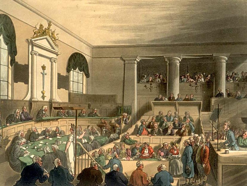
A court is an institution, often a government entity, with the authority to adjudicate legal disputes between Party (law), parties and Administration of justice, administer justice in Civil law (common law), civil, Criminal law, criminal, and Administrative law, administrative matters in accordance with the rule of law. Courts generally consist of Judge, judges or other judicial officers, and are usually established and dissolved through legislation enacted by a legislature. Courts may also be established by constitution or an equivalent constituting instrument. The practical authority given to the court is known as its jurisdiction, which describes the court's power to decide certain kinds of questions, or Petition, petitions put to it. There are various kinds of courts, including trial courts, appellate courts, administrative courts, international courts, and tribunals. Description A court is any person or institution, often as a government institution, with the authori ... [...More Info...] [...Related Items...] OR: [Wikipedia] [Google] [Baidu] |
Utsunomiya
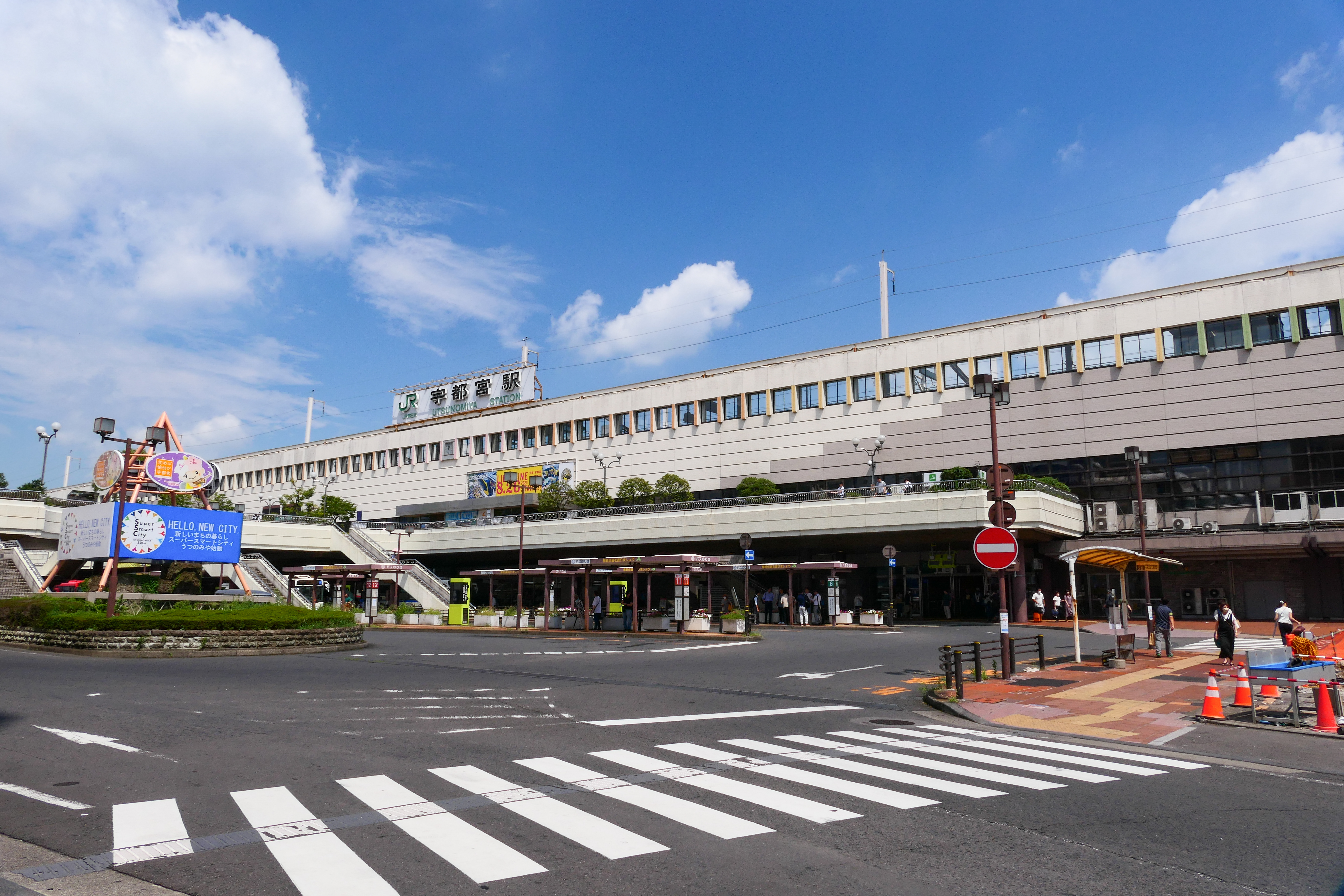
is the capital and largest city of Tochigi Prefecture in the northern Kantō region of Japan. , the city had an estimated population of 513,584, and a population density of . The total area of the city is . Utsunomiya is famous for its ''gyoza'' (pan fried dumplings). There are more than two hundred ''gyoza'' restaurants in Utsunomiya. had a population of 888,005 in the 2000 census. The nearby city of Oyama, Tochigi, Oyama is included in Greater Tokyo, but Greater Utsunomiya is not, despite the two areas amalgamating somewhat. It is the 10th most populated city in the Kantō region. Geography Utsunomiya is located in south-central Tochigi Prefecture in the northern Kantō plains. It is approximately north of Tokyo. The historic town of Nikkō, Tochigi, Nikkō is approximately northwest of Utsunomiya. The average elevation of the city is . Surrounding municipalities Tochigi Prefecture * Kaminokawa, Tochigi, Kaminokawa * Kanuma, Tochigi, Kanuma * Mibu, Tochigi, Mibu * Mooka, T ... [...More Info...] [...Related Items...] OR: [Wikipedia] [Google] [Baidu] |


