|
Yala Glacier
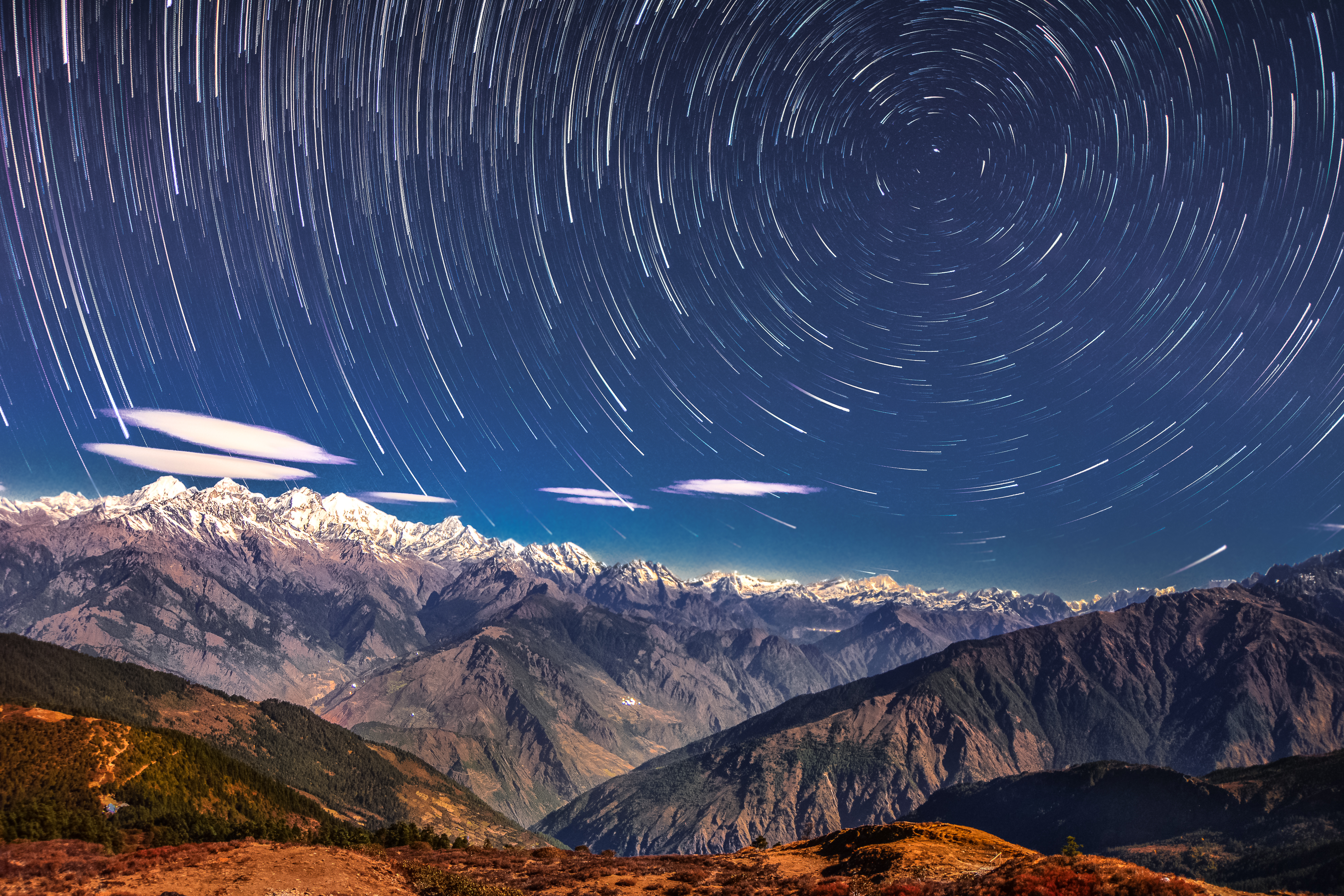
Yala Glacier is a glacier in Rasuwa District, Nepal. 'Yala' means 'high peak' in the local Langtang valley language. It was described in 2006 as a plateau-shaped polythermal glacier. In 2021, the length was with a surface area of . Due to its relative accessibility, the glacier is one of the most studied in Nepal, starting with Japanese glaciologists. Researchers have found that the glacier rapidly retreated since the 1990s.Fujita, Koji, Nozomu Takeuchi, and Katsumoto Seko. "Glaciological observations of Yala Glacier in Langtang Valley, Nepal Himalayas, 1994 and, B." ''Glacier Res'' 16 (1998): 75-8. Since 1974 the surface area of the glacier dropped 66% and the glacier retreated 784 meters. In 2025, during a 'glacier funeral' ceremony, a memorial for the glacier was unveiled to acknowledge it rapid disappearance. It consists of a granite plaque with inscription by Icelandic writer Andri Snær Magnason. See also * International Centre for Integrated Mountain Developme ... [...More Info...] [...Related Items...] OR: [Wikipedia] [Google] [Baidu] |
Rasuwa District
Rasuwa District ( is one of 13 districts of Bagmati Province and one of seventy-seven districts of Nepal. The district, with Dhunche as its district headquarters, covers an area of and has a population (2011) of 43,300. Its District Post Office (DPO) has a Rasuwa DPO code of 45000. There are five post offices in the district. As per census 2011 total households in Rasuwa district were 9,778. It is the smallest district by area, among 16 districts in the ''Himalaya'' region of Nepal. Etymology The name, formerly ''Rasowa'', is believed to be derived from two Tibetan words ''ra'' (lamb) and ''sowa'' (grazing), as it was known for its lamb and grazing lands. Geography and climate Its territory has elevations ranging from from mean sea Level. Forests cover 31.43% of the land while 16.63% is always snow-covered. Steeply varying territory and plenty of natural blessings make Rasuwa a well-known tourist destination in Nepal. Sightseeing places including Gosaikunda Lake, Langtan ... [...More Info...] [...Related Items...] OR: [Wikipedia] [Google] [Baidu] |
Nepal
Nepal, officially the Federal Democratic Republic of Nepal, is a landlocked country in South Asia. It is mainly situated in the Himalayas, but also includes parts of the Indo-Gangetic Plain. It borders the Tibet Autonomous Region of China China–Nepal border, to the north, and India India–Nepal border, to the south, east, and west, while it is narrowly separated from Bangladesh by the Siliguri Corridor, and from Bhutan by the States and union territories of India, Indian state of Sikkim. Nepal has a Geography of Nepal, diverse geography, including Terai, fertile plains, subalpine forested hills, and eight of the world's ten List of highest mountains#List, tallest mountains, including Mount Everest, the highest point on Earth. Kathmandu is the nation's capital and List of cities in Nepal, its largest city. Nepal is a multi-ethnic, multi-lingual, multi-religious, and multi-cultural state, with Nepali language, Nepali as the official language. The name "Nepal" is first record ... [...More Info...] [...Related Items...] OR: [Wikipedia] [Google] [Baidu] |
Langtang
Langtang Valley () also known as Lamtang Valley is a Himalayan valley in the mountains of north-central Nepal, known for its trekking routes and natural environment. Administrative The Langtang Valley lies in Rasuwa District, Rasuwa district of the Bagmati Province in Nepal. Situated about 80 kilometres north of the Kathmandu Valley, the valley lies within the Langtang National Park, which borders the Tibet Autonomous Region in Southwest China. Prior to the 2015 earthquake, 668 individuals were estimated to be living within the valley. Ecology The Langtang Valley lies within the Langtang National Park. The park contains a wide variety of climatic zones, from subtropical to alpine. Approximately 25% of the park is forested. Trees include the deciduous oak and maple, evergreens like pine, and various types of rhododendron. Animal life includes the Asiatic black bear, Himalayan black bear, Himalayan tahr, Monkey, Red monkey, languer Assam macaque, snow leopard, yak, red ... [...More Info...] [...Related Items...] OR: [Wikipedia] [Google] [Baidu] |
Map Of Yala Glacier And Its Boundaries In 1981, 2007, 2009, 2012 And 2015
A map is a symbolic depiction of interrelationships, commonly spatial, between things within a space. A map may be annotated with text and graphics. Like any graphic, a map may be fixed to paper or other durable media, or may be displayed on a transitory medium such as a computer screen. Some maps change interactively. Although maps are commonly used to depict geographic elements, they may represent any space, real or fictional. The subject being mapped may be two-dimensional such as Earth's surface, three-dimensional such as Earth's interior, or from an abstract space of any dimension. Maps of geographic territory have a very long tradition and have existed from ancient times. The word "map" comes from the , wherein ''mappa'' meant 'napkin' or 'cloth' and ''mundi'' 'of the world'. Thus, "map" became a shortened term referring to a flat representation of Earth's surface. History Maps have been one of the most important human inventions for millennia, allowing humans t ... [...More Info...] [...Related Items...] OR: [Wikipedia] [Google] [Baidu] |

