|
Yagodina, Bulgaria
Yagodina ( bg, Ягодина) is a village in southern Bulgaria. It has a population of 379 as of 2022. Geography Yagodina is located in the southwestern part of Smolyan Province and has a territory of 30,838 km2. It is part of Borino Municipality and situated close to the border with Greece. It lies 24 km south of the towns of Devin. The closest settlements are the villages of Teshel and Gyovren to the north, Trigrad to the southeast and Chala to the west. Yagodina is situated in the western part of the Rhodope Mountains in the valley of the river Vacha. Two of the Rhodope's most famous gorges are partially within the territory of the villages, the Buynovo and the Trigrad Gorges. The forested summit of Durdaga (1,693 m) lies 700 m of Yagodina. The most renown landmark of the village is Yagodinska Cave, the longest in the Rhodope Mountains and one of the longest in Bulgaria. There are numerous tourist trails in its vicinity, leading to other caves, such ... [...More Info...] [...Related Items...] OR: [Wikipedia] [Google] [Baidu] |
Countries Of The World
The following is a list providing an overview of sovereign states around the world with information on their status and recognition of their sovereignty. The 206 listed states can be divided into three categories based on membership within the United Nations System: 193 UN member states, 2 UN General Assembly non-member observer states, and 11 other states. The ''sovereignty dispute'' column indicates states having undisputed sovereignty (188 states, of which there are 187 UN member states and 1 UN General Assembly non-member observer state), states having disputed sovereignty (16 states, of which there are 6 UN member states, 1 UN General Assembly non-member observer state, and 9 de facto states), and states having a special political status (2 states, both in free association with New Zealand). Compiling a list such as this can be a complicated and controversial process, as there is no definition that is binding on all the members of the community of nations conc ... [...More Info...] [...Related Items...] OR: [Wikipedia] [Google] [Baidu] |
Gyovren
Gyovren ( bg, Гьоврен; tr, Gövren) is a village under the municipality of Devin in the Smolyan Province in the southern part of Bulgaria. Geography Gyovren is located in the Rhodope Mountains on the northern slope of the Trigrad plateau, not far from the Bulgaria– Greece border. It is located 20 km south of the town of Devin between the villages of Teshel and Trigrad and 143 km from the national capital Sofia. It is a typical high-mountain village situated on a steep rocky relief. West of the village flows the Trigrad River and there lies the Trigrad Gorge. Along the road at the foot of the village is a mosque which was historically significant in the founding of the village. Culture The population of Gyovren is mainly ethnic Turks. The village celebrates many old traditions and holidays such as Ramazan Bayrami, Kurban Bayram, Ashure and Aderlez. Attractions The mountains surrounding Gyovren are full of rich natural wildlife. The natural reserve ... [...More Info...] [...Related Items...] OR: [Wikipedia] [Google] [Baidu] |
Devil's Throat Cave
Devil's Throat Cave, or Dyavolsko Garlo ( bg, Дяволското гърло ), is located in the western Rhodopes close to the village of Gyovren in Bulgaria, near its border with Greece. A popular tourist attraction, Devil's Throat branches from Trigrad Gorge The Trigrad Gorge ( bg, Триградско ждрело, ) is a canyon of vertical marble rocks in the Rhodope Mountains. It is in Smolyan Province, one of the southernmost provinces of Bulgaria. The gorge encloses the course of the Trigradska .... Gallery File:Dqvolskoto gurlo2.jpg File:Devil's Throat Cave 20.jpg File:Devil's Throat Cave 60.jpg File:Underground River in Devils throat.JPG, Underground River in Devil's Throat File:Devils-throat.jpg, The light in the end of the tunnel - Devil's Throat File:DevilsThroathCave.jpg, Path in Devil's Throat Cave File:Devil's Throat Cave 05.jpg File:Devil's Throat Cave 02.jpg File:Devil's Throat Cave 71.jpg File:Devil's Throat Cave 58.jpg File:Devil's Throat Cave 49.jpg ... [...More Info...] [...Related Items...] OR: [Wikipedia] [Google] [Baidu] |
Yagodinska Cave
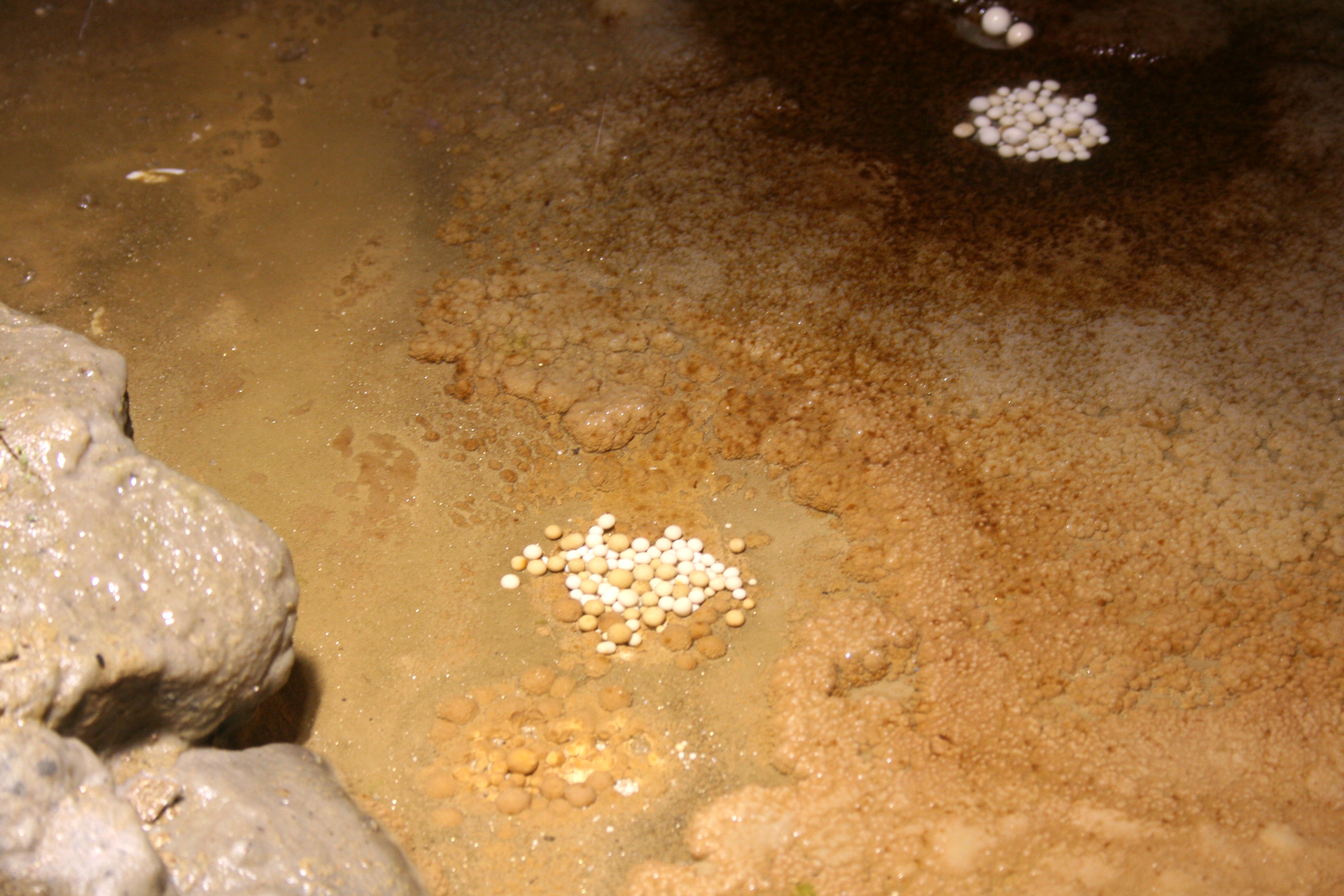
Yagodinska Cave ( bg, Ягодинска пещера) is a cave in the Rhodope Mountains, southern Bulgaria. It is included in the 100 Tourist Sites of Bulgaria under № 89. It is named after the homonymous village nearby. With a total length of 10,500 m, Yagodinska is the third longest cave in the country after Duhlata and Orlova Chuka and the longest in the Rhodopes. Yagodinska Cave is home to 11 species of bats. Location Yagodinska Cave is on the right bank of the river Buynovska, a tributary to the Vacha, on the slopes of the Buynovo gorge — the longest gorge in Bulgaria. It is in Smolyan Province at 20 km to the south of the town of Devin and 3 km to south-west of the village of Yagodina. The cave is accessible through the road Devin–Dospat and has a parking lot. The cave entrance is at an altitude of 930 m. Exploration and description The exploration of the cave commenced in 1963 by the Speleological Club of Chepelare led by Dimitar Rayche ... [...More Info...] [...Related Items...] OR: [Wikipedia] [Google] [Baidu] |
Trigrad Gorge
The Trigrad Gorge ( bg, Триградско ждрело, ) is a canyon of vertical marble rocks in the Rhodope Mountains. It is in Smolyan Province, one of the southernmost provinces of Bulgaria. The gorge encloses the course of the Trigradska River, which plunges into the Devil's Throat Cave and further emerges as a large karst spring. It later flows into the River Buynovska. The gorge's west wall reaches in height, while the east one extends up to . Initially, the two walls are about 300 m apart, but the gorge narrows to about in the northern section. The gorge is from the village of Trigrad at above sea level and has a total length of , of which the gorge proper comprises . Honour Trigrad Gap on Livingston Island in the South Shetland Islands, Antarctica Antarctica () is Earth's southernmost and least-populated continent. Situated almost entirely south of the Antarctic Circle and surrounded by the Southern Ocean, it contains the geographic South Pole ... [...More Info...] [...Related Items...] OR: [Wikipedia] [Google] [Baidu] |
Vacha (river)
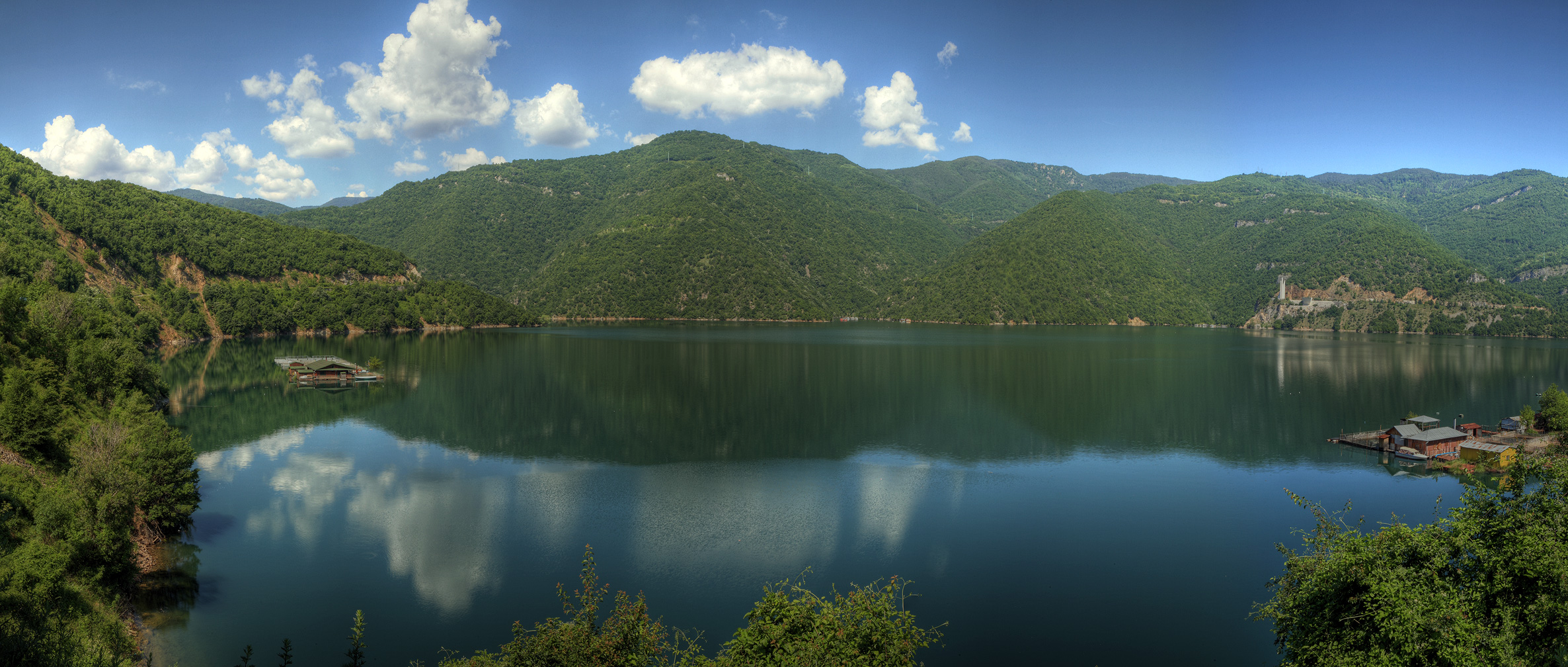
The Vacha (, ) is a river in south Bulgaria, one of the main right tributaries of the Maritsa. It is 104 km long and is formed by the confluence of the rivers Buynovska (cirillic: Буйновска река), Trigradska (cirillic: триградска река) and a small unnamed river. Background The Vacha passes through Krichim Dam and Vacha Dam that secure drinking water for Plovdiv and its plains. It runs through the Rhodopes The Rhodopes (; bg, Родопи, ; el, Ροδόπη, ''Rodopi''; tr, Rodoplar) are a mountain range in Southeastern Europe, and the largest by area in Bulgaria, with over 83% of its area in the southern part of the country and the remainder ... forming a deep valley where the two dams are located. An important town in the valley is Devin. It is the second largest river that has its source in the Rhodopes after the Arda. The Vacha does not flow close to any industrial enterprises, which is the reason for its clear water. The origin of ... [...More Info...] [...Related Items...] OR: [Wikipedia] [Google] [Baidu] |
Rhodope Mountains
The Rhodopes (; bg, Родопи, ; el, Ροδόπη, ''Rodopi''; tr, Rodoplar) are a mountain range in Southeastern Europe, and the largest by area in Bulgaria, with over 83% of its area in the southern part of the country and the remainder in Greece. Golyam Perelik is its highest peak at . The mountain range gives its name to the terrestrial ecoregion Rodope montane mixed forests that belongs in the temperate broadleaf and mixed forests biome and the Palearctic realm. The region is particularly notable for its karst areas with their deep river gorges, large caves and specific sculptured forms, such as the Trigrad Gorge. A significant part of Bulgaria's hydropower resources are located in the western areas of the range. There are a number of hydro-cascades and dams used for electricity production, irrigation, and as tourist destinations. In Greece, there are also the hydroelectric power plants of Thisavros and Platanovrysi. The Rhodopes have a rich cultural heritage includ ... [...More Info...] [...Related Items...] OR: [Wikipedia] [Google] [Baidu] |
Chala, Bulgaria
Chala () is a village in southern Bulgaria. It has a population of 108 as of 2022. Geography Chala is located in the southwestern part of Smolyan Province and has a territory of 12.185 km2. It is part of Borino Municipality. The closest settlements are the villages of Borino to the north, Yagodina to the east, Buynovo to the south and Zmeitsa to the west. The village is situated in the western part of the Rhodope Mountains in the valley of the river Vacha. Landmarks in its vicinity include Yagodinska Cave Yagodinska Cave ( bg, Ягодинска пещера) is a cave in the Rhodope Mountains, southern Bulgaria. It is included in the 100 Tourist Sites of Bulgaria under № 89. It is named after the homonymous village nearby. With a total length o ... and Buynovo Gorge. Citations {{Authority control Villages in Smolyan Province ... [...More Info...] [...Related Items...] OR: [Wikipedia] [Google] [Baidu] |
Provinces Of Bulgaria
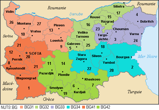
The provinces of Bulgaria ( bg, области на България, oblasti na Bǎlgarija) are the first-level administrative subdivisions of the country. Since 1999, Bulgaria has been divided into 28 provinces ( bg, области, links=no – ''oblasti;'' singular: – '' oblast''; also translated as "regions") which correspond approximately to the 28 districts (in bg, links=no, окръг – '' okrǎg'', plural: – ''okrǎzi''), that existed before 1987. The provinces are further subdivided into 265 municipalities (singular: – '' obshtina'', plural: – ''obshtini''). Sofia – the capital city of Bulgaria and the largest settlement in the country – is the administrative centre of both Sofia Province and Sofia City Province (Sofia- grad). The capital is included (together with three other cities plus 34 villages) in Sofia Capital Municipality (over 90% of whose population lives in Sofia), which is the sole municipality comprising Sofia City province. Term ... [...More Info...] [...Related Items...] OR: [Wikipedia] [Google] [Baidu] |


