|
Xenoligea
The white-winged warbler (''Xenoligea montana''), also called the white-winged ground-warbler or Hispaniolan highland-tanager, is a Vulnerable species of bird of the family Phaenicophilidae, the Hispaniolan tanagers. It is endemic to the island of Hispaniola which is shared by Haiti and the Dominican Republic. Taxonomy and systematics The white-winged warbler is the only member of genus ''Xenoligea''. It was originally named ''Microligea montana'', sharing that genus with the green-tailed warbler (''M. palustris''), but was later recognized in its own genus. Those two species were originally placed in the New World wood warbler family Parulidae, but taxonomists were unsure they belonged there. DNA evidence published in the early 2010s showed they were not related to other wood warblers and in 2017, they were moved to the newly created family Phaenicophilidae. The two species in the genus ''Phaenicophilus'' were also moved there from the "true" tanager family Thraupidae. The w ... [...More Info...] [...Related Items...] OR: [Wikipedia] [Google] [Baidu] |
Phaenicophilidae
Phaenicophilidae is a family of passerine birds. It consists of three genera and four species, all endemic to Hispaniola, which have been traditionally placed in the families Thraupidae (''Phaenicophilus'') and Parulidae (''Xenoligea'', ''Microligea''). Species References Phaenicophilidae, Passeriformes Birds of the Greater Antilles Birds of the Lesser Antilles Bird families Taxa named by Philip Sclater {{Passeroidea-stub ... [...More Info...] [...Related Items...] OR: [Wikipedia] [Google] [Baidu] |
Hispaniolan Moist Forests
The Hispaniolan moist forests are a tropical moist broadleaf forest ecoregion on the island of Hispaniola. They cover , around 60% of the island's area. Geography Moist forests occur on most of the eastern half the Dominican Republic, stretching from the coast all the way to high elevations in the mountains. In Haiti, they are found in the Tiburon Peninsula in the southern part of the country as well as the Massif du Nord. The drainage basins for the island's main rivers, the Yaque del Norte and Yaque del Sur, Yuna, and Artibonite, occur in this ecoregion. The forests cover diverse topography, including flatlands, valleys, plateaus, slopes and foothills up to an elevation of about . Soils are either calcareous (neutral or somewhat alkaline) or acidic. Climate Mesic forests receive of annual rainfall, while more than falls in wet forests. The rainy season lasts from April to December. Temperature varies from in open areas near the coast and averages around in higher are ... [...More Info...] [...Related Items...] OR: [Wikipedia] [Google] [Baidu] |
Thraupidae
The tanagers (singular ) comprise the bird family (biology), family Thraupidae, in the order Passeriformes. The family has a Neotropical distribution and is the second-largest family of birds. It represents about 4% of all avian species and 12% of the Neotropical birds. Traditionally, the family contained around 240 species of mostly brightly colored fruit-eating birds. As more of these birds were studied using modern molecular techniques, it became apparent that the traditional families were not monophyletic. ''Euphonia'' and ''Chlorophonia'', which were once considered part of the tanager family, are now treated as members of the Fringillidae, in their own subfamily (Euphoniinae). Likewise, the genera ''Piranga'' (which includes the scarlet tanager, summer tanager, and western tanager), ''Chlorothraupis'', and ''Habia (bird), Habia'' appear to be members of the family Cardinalidae, and have been reassigned to that family by the American Ornithological Society. Description T ... [...More Info...] [...Related Items...] OR: [Wikipedia] [Google] [Baidu] |
Hispaniolan Pine Forests
The Hispaniolan pine forests are a subtropical coniferous forest ecoregion found on the Caribbean island of Hispaniola, which is shared by Haiti and the Dominican Republic. The ecoregion covers , or about 15% of the island. It lies at elevations greater than in the mountains of Hispaniola, extending from the Cordillera Central of the Dominican Republic and into the Massif du Nord of Haiti. It is surrounded at lower elevations by the Hispaniolan moist forests and Hispaniolan dry forests ecoregions, which cover the remainder of the island. Annual rainfall is . Flora The natural vegetation of the region consists primarily of stands of pino criollo (''Pinus occidentalis''). Pines are mixed with other conifers, including sabina ('' Juniperus gracilior'') and '' Podocarpus aristulatus'' (syn. ''P. buchii''). Below , pine forests are found on lateritic soils and are interspersed with areas of wet montane forest. Important broad-leaved species are '' Garrya fadyenii'' and '' Vacci ... [...More Info...] [...Related Items...] OR: [Wikipedia] [Google] [Baidu] |
Hispaniola
Hispaniola (, also ) is an island between Geography of Cuba, Cuba and Geography of Puerto Rico, Puerto Rico in the Greater Antilles of the Caribbean. Hispaniola is the most populous island in the West Indies, and the second-largest by List of Caribbean islands by area, land area, after Geography of Cuba, Cuba. The island is Dominican Republic–Haiti border, divided into two separate Sovereign state, sovereign countries: the Spanish-speaking Geography of the Dominican Republic, Dominican Republic () to the east and the French language, French and Haitian Creole–speaking Geography of Haiti, Haiti () to the west. The only other divided island in the Caribbean is Saint Martin (island), Saint Martin, which is shared between France () and the Kingdom of the Netherlands, Netherlands (). At the time of the European arrival of Christopher Columbus, Hispaniola was home to the Ciguayo language, Ciguayo, Macorix language, Macorix, and Taíno Indigenous peoples of the Caribbean, native pe ... [...More Info...] [...Related Items...] OR: [Wikipedia] [Google] [Baidu] |
Parulidae
The New World warblers or wood-warblers are a group of small, often colorful, passerine birds that make up the family Parulidae and are restricted to the New World. The family contains 120 species. They are not closely related to Old World warblers or Australian warblers. Most are arboreal, but some, like the ovenbird and the two waterthrushes, are primarily terrestrial. Most members of this family are insectivores. This group likely originated in northern Central America, where the greatest number of species and diversity between them is found. From there, they spread north during the interglacial periods, mainly as bird migration, migrants, returning to the ancestral region in winter. Two genera, ''Myioborus'' and ''Basileuterus'', seem to have colonized South America early, perhaps before the two continents were linked, and together constitute most warbler species of that region. The scientific name for the family, Parulidae, originates from the fact that Carl Linnaeus, Linn ... [...More Info...] [...Related Items...] OR: [Wikipedia] [Google] [Baidu] |
White-winged Swamp Warbler
The white-winged swamp warbler (''Bradypterus carpalis''), also known as the white-winged scrub-warbler, is a species of Old World warbler in the family Locustellidae. It is found in Burundi, Democratic Republic of the Congo, Kenya, Rwanda, Tanzania, Uganda, and Zambia. Its natural habitat is swamp A swamp is a forested wetland.Keddy, P.A. 2010. Wetland Ecology: Principles and Conservation (2nd edition). Cambridge University Press, Cambridge, UK. 497 p. Swamps are considered to be transition zones because both land and water play a role in ...s. References white-winged swamp warbler Birds of Central Africa Birds of East Africa white-winged swamp warbler white-winged swamp warbler Taxonomy articles created by Polbot {{Locustellidae-stub ... [...More Info...] [...Related Items...] OR: [Wikipedia] [Google] [Baidu] |
Broadleaf Forest
A forest is an ecosystem characterized by a dense community of trees. Hundreds of definitions of forest are used throughout the world, incorporating factors such as tree density, tree height, land use, legal standing, and ecological function. The United Nations' Food and Agriculture Organization (FAO) defines a forest as, "Land spanning more than 0.5 hectares with trees higher than 5 meters and a canopy cover of more than 10 percent, or trees able to reach these thresholds '' in situ''. It does not include land that is predominantly under agricultural or urban use." Using this definition, '' Global Forest Resources Assessment 2020'' found that forests covered , or approximately 31 percent of the world's land area in 2020. Forests are the largest terrestrial ecosystems of Earth by area, and are found around the globe. 45 percent of forest land is in the tropical latitudes. The next largest share of forests are found in subarctic climates, followed by temperate, and subtro ... [...More Info...] [...Related Items...] OR: [Wikipedia] [Google] [Baidu] |
Tiburon Peninsula
The Tiburon Peninsula (), or simply "the Tiburon" (''le Tiburon''), is a region of Haiti encompassing most of Haiti's southern coast. It starts roughly at the southernmost point of the Haiti-Dominican Republic border and extends westward near Cuba, forming a large headland. Three of Haiti's ten Administrative divisions of Haiti, departments are located entirely within the region. They are the departments of Grand'Anse (department), Grand'Anse, Nippes and Sud (department), Sud. A large part of Ouest (department), Ouest Departments of Haiti, department is also located in the region, with the capital, Port-au-Prince serving as the line of demarcation between central Haiti and the south. Half of Sud-Est (department), Sud-Est is also located within the Tiburon Peninsula. The mountains on the peninsula are known as the Massif de la Hotte. References Landforms of Haiti Peninsulas of North America Grand'Anse (department) Nippes Sud (department) Sud-Est (department) {{Haiti-geo- ... [...More Info...] [...Related Items...] OR: [Wikipedia] [Google] [Baidu] |
Arthropod
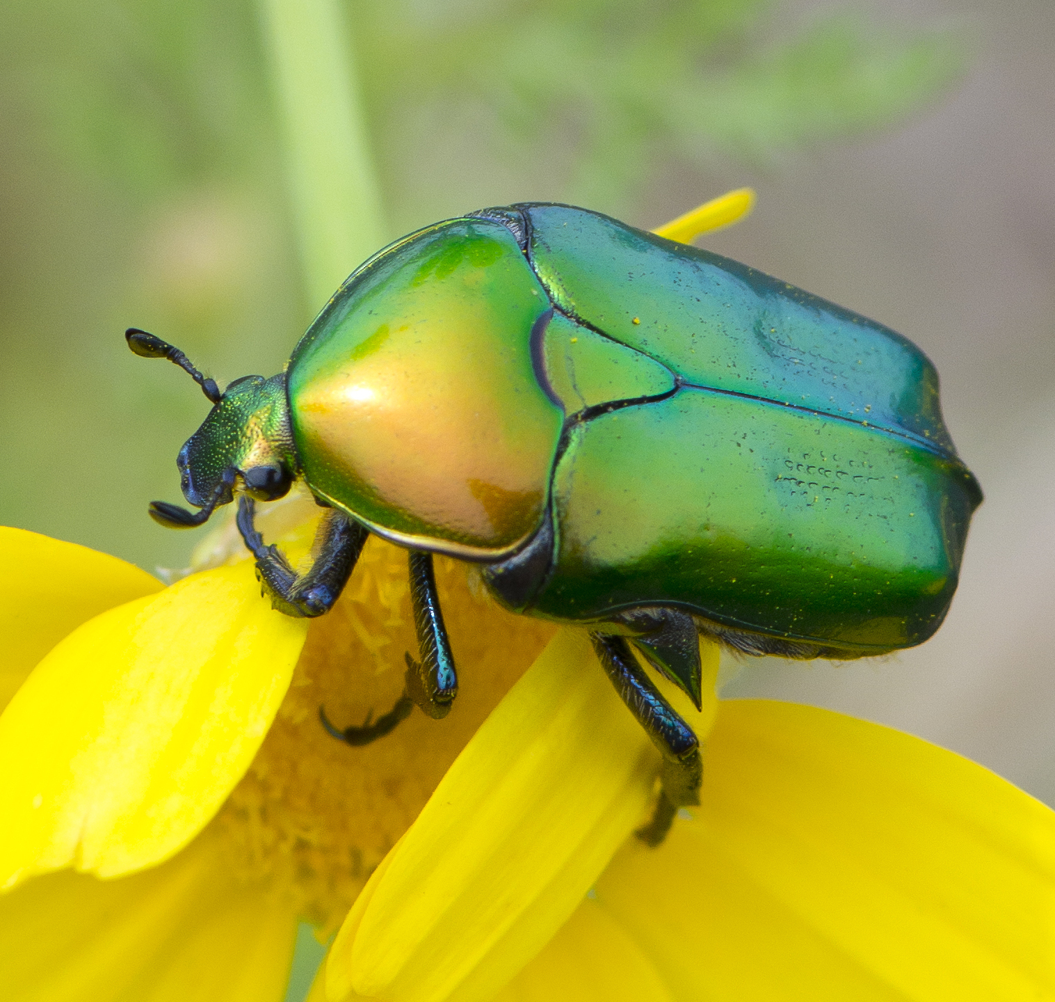
Arthropods ( ) are invertebrates in the phylum Arthropoda. They possess an arthropod exoskeleton, exoskeleton with a cuticle made of chitin, often Mineralization (biology), mineralised with calcium carbonate, a body with differentiated (Metamerism (biology), metameric) Segmentation (biology), segments, and paired jointed appendages. In order to keep growing, they must go through stages of moulting, a process by which they shed their exoskeleton to reveal a new one. They form an extremely diverse group of up to ten million species. Haemolymph is the analogue of blood for most arthropods. An arthropod has an open circulatory system, with a body cavity called a haemocoel through which haemolymph circulates to the interior Organ (anatomy), organs. Like their exteriors, the internal organs of arthropods are generally built of repeated segments. They have ladder-like nervous systems, with paired Anatomical terms of location#Dorsal and ventral, ventral Ventral nerve cord, nerve cord ... [...More Info...] [...Related Items...] OR: [Wikipedia] [Google] [Baidu] |
Secondary Forest
A secondary forest (or second-growth forest) is a forest or woodland area which has regenerated through largely natural processes after human-caused Disturbance (ecology), disturbances, such as Logging, timber harvest or agriculture clearing, or equivalently disruptive natural phenomena. It is distinguished from an old-growth forest (primary or primeval forest), which has not recently undergone such disruption, and complex early Seral community, seral forest, as well as third-growth forests that result from harvest in second growth forests. Secondary forest regrowing after timber harvest differs from forest Ecological succession, regrowing after natural Disturbance (ecology), disturbances such as Wildfire, fire, insect infestation, or windthrow because the dead trees remain to provide nutrients, structure, and water retention after natural disturbances. Secondary forests are notably different from primary forests in their composition and biodiversity; however, they may still be hel ... [...More Info...] [...Related Items...] OR: [Wikipedia] [Google] [Baidu] |
Sierra De Bahoruco
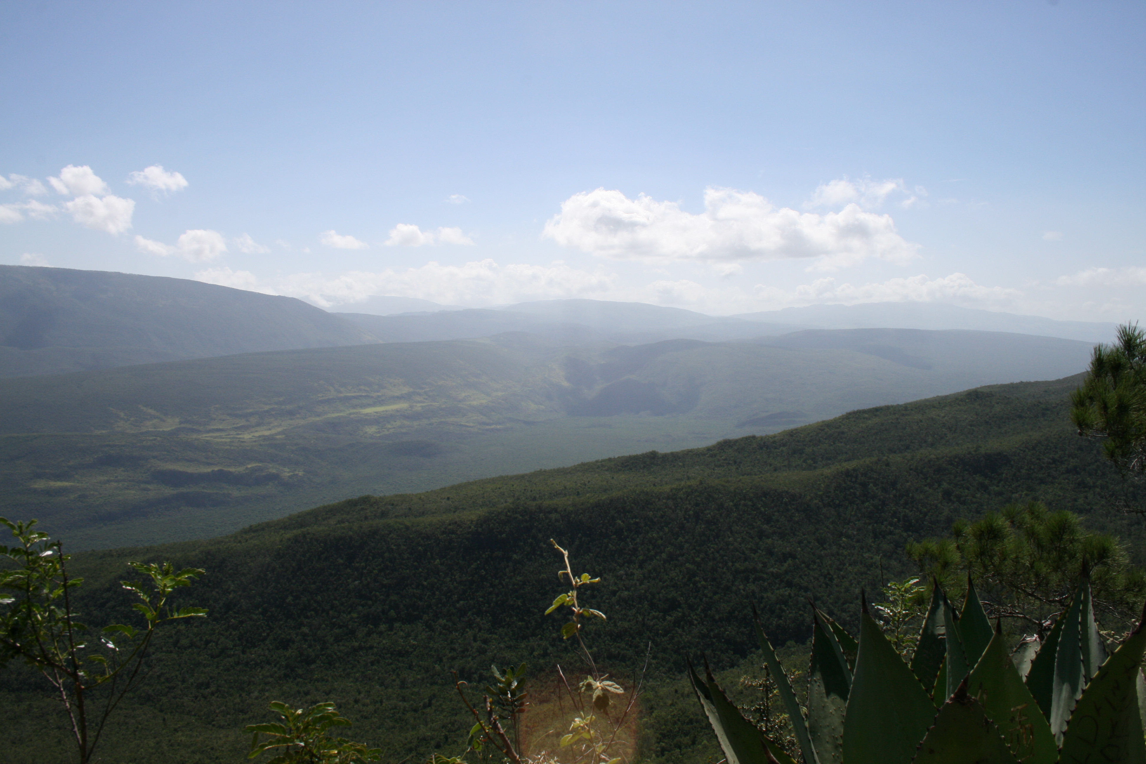
The Bahoruco Mountain Range—Sierra de Bahoruco (or Sierra de Bahoruco) is a mountain range located in the far southwestern region of the Dominican Republic. It is within Pedernales, Independencia, Barahona, and Bahoruco Provinces. A large part of the area is protected within the Sierra de Bahoruco National Park (''Parque Nacional Sierra de Bahoruco''), also a Biosphere reserve. Its name is mentioned for the first time by Bartolomé de las Casas in his "Brief History of the Indies", who takes it from the phonetic sound used by the Taino Indians to describe that region. It is rich in deposits of salt and gypsum, and also has a lagoon in the southern part (Oviedo lagoon) and between this mountain range and the Neiba mountain range is Lake Enriquillo, the largest in the Antilles. Geology The mountain range is a massif of volcanic origin from the Cretaceous period (from 145 to 66 million years ago) and later covered by a layer of calcareous sediment of marine origin, this mea ... [...More Info...] [...Related Items...] OR: [Wikipedia] [Google] [Baidu] |


