|
Wichsenstein
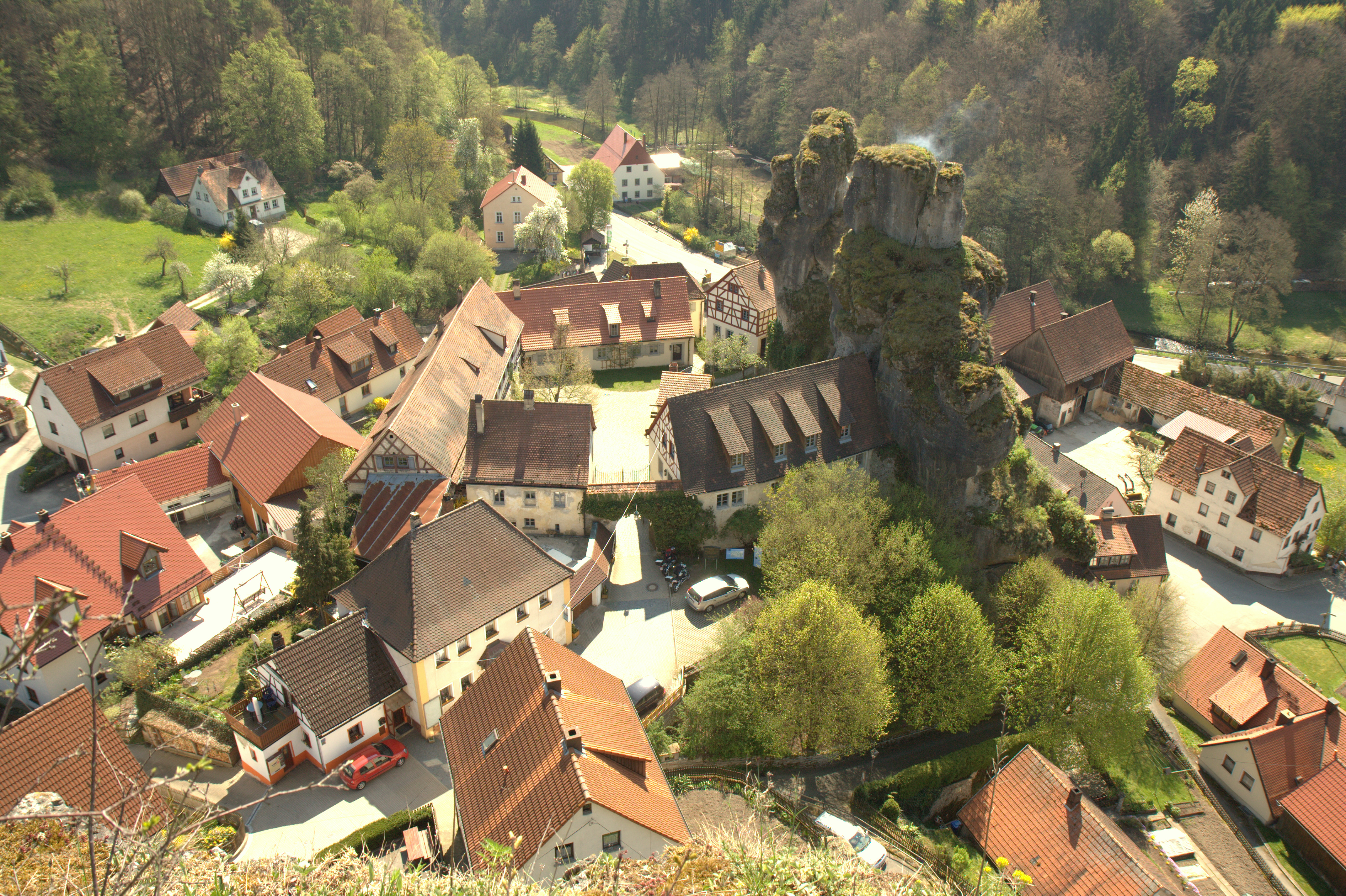
Wichsenstein is a village in the municipality of Gößweinstein in the Upper Franconian county of Forchheim in Germany. Geography Wichsenstein lies high up in the hills of Franconian Switzerland between the city of Nuremberg and the towns of Forchheim and Bayreuth about six kilometres southwest of Gößweinstein and fourteen kilometres east of Forchheim. The Wichsenstein Rock (''Wichsensteiner Fels'') towers over the centre of the village. It may be climbed using steps and, at a height of , offers panoramic views over Franconian Switzerland. History The independent parish of Wichsenstein was disbanded on 1 May 1978. The majority of its more than 500 inhabitants with the villages of Wichsenstein, Altenthal, Hardt, Sattelmannsburg and Ühleinshof were incorporated into the market town (''Markt'') of Gößweinstein. The villages of Eberhardstein, Pfaffenloh and Urspring with around 50 inhabitants joined Markt Pretzfeld. Transport Wichsenstein is accessible on county road ... [...More Info...] [...Related Items...] OR: [Wikipedia] [Google] [Baidu] |
Wichsenstein Castle
Wichsenstein Castle (german: Burgstall Wichsenstein) was a hill castle, once owned by noblemen, on a steep and prominent rock reef (''Felsriff'') outcrop above the church village of Wichsenstein in the Upper Franconian county of Forchheim in Bavaria, Germany. The castle has been completely demolished and there are no visible remains. The castle rock is now just used as a viewing point. Location The site or ''burgstall'' of this hilltop castle lies in the central part of Franconian Switzerland, part of the German Central Upland range of the Franconian Jura. It is located on top of a natural monument and rocky '' kuppe'', the Wichsenstein Rock (''Wichsensteiner Fels''), at a height of about on the northern edge of the village of Wichsenstein, about 20 metres above the village and about 60 metres north-northwest of the Roman Catholic parish church of Saint Erhard. and about 15 kilometres northeast of Forchheim. In the vicinity are other old mediaeval castles. In the nearby ... [...More Info...] [...Related Items...] OR: [Wikipedia] [Google] [Baidu] |
Gößweinstein
Gößweinstein is a municipality in the district of Forchheim in Bavaria in Germany. It lies within the region known as Franconian Switzerland. Districts History The first record of ''Goswinesteyn'' Castle is from 1076. Prior to 1102 the Hochstift Bamberg became the owner of the castle. The prince-bishop of Bamberg Friedrich Carl von Schönborn (ruled from 1729 until 1746) elevated Gößweinstein's status to a ''Market''. During the Secularization in 1803, the area of the Hochstift Bamberg was transferred to Bavaria. During the Bavarian territorial reforms in 1978, the formerly independent communities of Morschreuth, Wichsenstein, Behringersmühle, Kleingesee, Leutzdorf, Stadelhofen, Unterailsfeld and part of the community Tüchersfeld were integrated into Gößweinstein. Culture and sights Museums * Franconian Toy Museum Gößweinstein * Natural history and geological Collection in the Haus des Gastes * Steam locomotive train (''Dampfbahn Fränkische Schweiz'') Building ... [...More Info...] [...Related Items...] OR: [Wikipedia] [Google] [Baidu] |
Franconian Switzerland
Franconian Switzerland (german: Fränkische Schweiz) is an upland in Upper Franconia, Bavaria, Germany and a popular tourist retreat. Located between the River Pegnitz in the east and the south, the River Regnitz in the west and the River Main in the north, its relief, which reaches 600 metres in height, forms the northern part of the Franconian Jura (''Frankenjura''). Like several other mountainous landscapes in the German-speaking lands, e.g. Holstein Switzerland, Märkische Schweiz, or Pommersche Schweiz, Franconian Switzerland was given its name by Romantic artists and poets in the 19th century who compared the landscape to Switzerland. Franconian Switzerland is famous for its high density of traditional breweries. Name The region was once called ''Muggendorfer Gebürg'' ('' Muggendorf hills''). The first tourists arrived during the age of Romanticism. Two law students of Erlangen University, Ludwig Tieck and Wilhelm Heinrich Wackenroder have been credited as "discoverers" ... [...More Info...] [...Related Items...] OR: [Wikipedia] [Google] [Baidu] |
Upper Franconia
Upper Franconia (german: Oberfranken) is a '' Regierungsbezirk'' (administrative 'Regierungs''region 'bezirk'' of the state of Bavaria, southern Germany. It forms part of the historically significant region of Franconia, the others being Middle Franconia and Lower Franconia, which are all now part of the German Federal State of Bayern (''Bavaria''). With more than 200 independent breweries which brew approximately 1000 different types of beer, Upper Franconia has the world's highest brewery-density per capita. A special Franconian beer route (''Fränkische Brauereistraße'') runs through many popular breweries. Geography The administrative region borders on Thuringia (''Thüringen'') to the north, Lower Franconia (''Unterfranken'') to the west, Middle Franconia (''Mittelfranken'') to the south-west, and Upper Palatinate (''Oberpfalz'') to the south-east, Saxony (''Sachsen'') to the north-east and the Czech Republic to the east. History After the founding of the Kingdom o ... [...More Info...] [...Related Items...] OR: [Wikipedia] [Google] [Baidu] |
Landkreis Forchheim
Forchheim is a ''Landkreis'' (district) in Bavaria, Germany. It is bounded by (from the north and clockwise) the districts of Bamberg, Bayreuth, Nürnberger Land and Erlangen-Höchstadt. History Until 1803 the region was divided between the clerical state of Bamberg and the margravate of Brandenburg-Kulmbach centred in Bayreuth. Then it fell to Bavaria. The district in its present borders was established in 1972 by merging the former district of Forchheim with parts of the dissolved districts of Ebermannstadt and Pegnitz. The city of Forchheim lost its status as a district-free city and became the capital. Geography The main river is the Regnitz, which runs from south to north through the western parts of the district. East of the river the land rises to the hills of the Frankish Alb. Coat of arms The coat of arms displays: * the lion of the clerical state of Bamberg Bamberg (, , ; East Franconian: ''Bambärch'') is a town in Upper Franconia, Germany, on the river Regni ... [...More Info...] [...Related Items...] OR: [Wikipedia] [Google] [Baidu] |
Germany
Germany, officially the Federal Republic of Germany (FRG),, is a country in Central Europe. It is the most populous member state of the European Union. Germany lies between the Baltic and North Sea to the north and the Alps to the south. Its 16 constituent states have a total population of over 84 million in an area of . It borders Denmark to the north, Poland and Czechia to the east, Austria and Switzerland to the south, and France, Luxembourg, Belgium, and the Netherlands to the west. The nation's capital and most populous city is Berlin and its main financial centre is Frankfurt; the largest urban area is the Ruhr. Settlement in what is now Germany began in the Lower Paleolithic, with various tribes inhabiting it from the Neolithic onward, chiefly the Celts. Various Germanic tribes have inhabited the northern parts of modern Germany since classical antiquity. A region named Germania was documented before AD 100. In 962, the Kingdom of Germany formed the ... [...More Info...] [...Related Items...] OR: [Wikipedia] [Google] [Baidu] |
Nuremberg
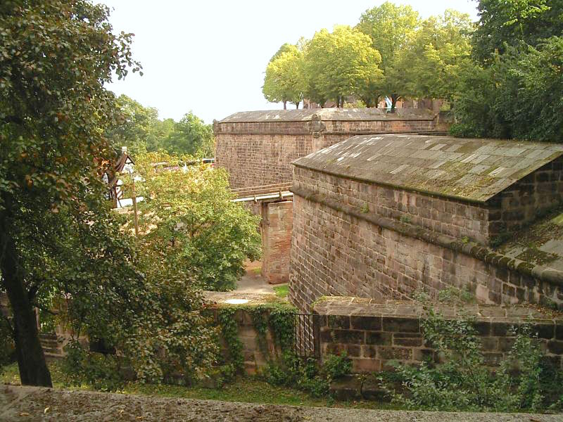
Nuremberg ( ; german: link=no, Nürnberg ; in the local East Franconian dialect: ''Nämberch'' ) is the second-largest city of the German state of Bavaria after its capital Munich, and its 518,370 (2019) inhabitants make it the 14th-largest city in Germany. On the Pegnitz River (from its confluence with the Rednitz in Fürth onwards: Regnitz, a tributary of the Main (river), River Main) and the Rhine–Main–Danube Canal, it lies in the Bavarian Regierungsbezirk, administrative region of Middle Franconia, and is the largest city and the unofficial capital of Franconia. Nuremberg forms with the neighbouring cities of Fürth, Erlangen and Schwabach a continuous conurbation with a total population of 800,376 (2019), which is the heart of the urban area region with around 1.4 million inhabitants, while the larger Nuremberg Metropolitan Region has approximately 3.6 million inhabitants. The city lies about north of Munich. It is the largest city in the East Franconian dialec ... [...More Info...] [...Related Items...] OR: [Wikipedia] [Google] [Baidu] |
Forchheim
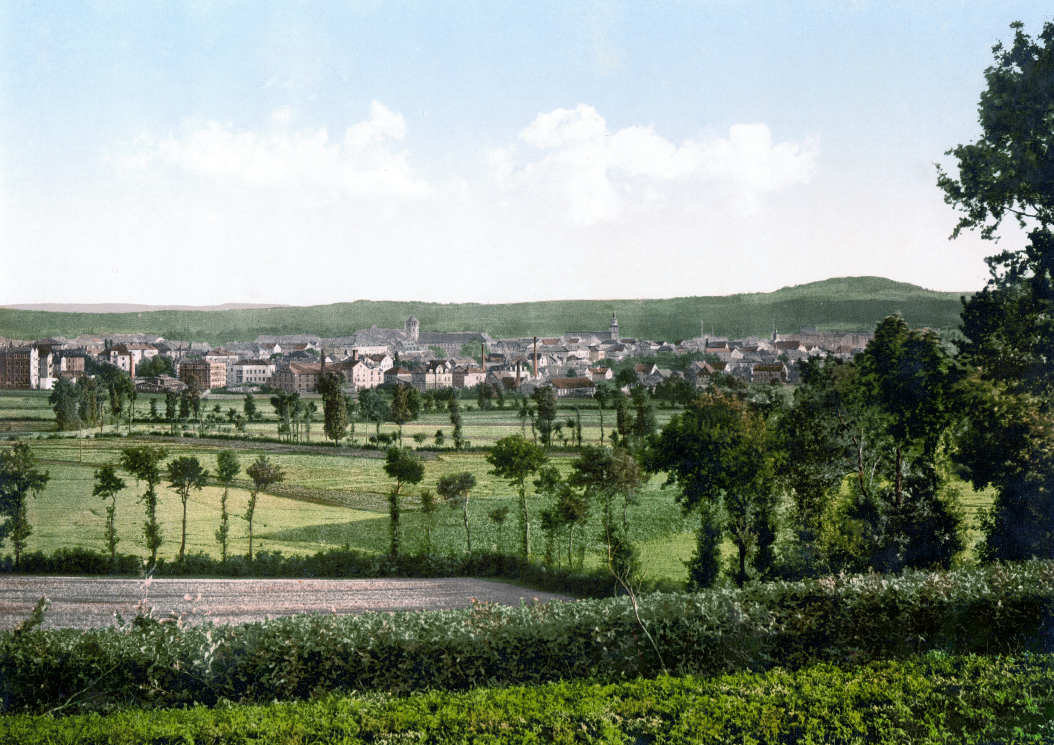
Forchheim () is a town in Upper Franconia (german: Oberfranken) in northern Bavaria, and also the seat of the administrative district of Forchheim. Forchheim is a former royal city, and is sometimes called the Gateway to the Franconian Switzerland, referring to the region of outstanding natural beauty to the north east of the town. Nowadays Forchheim is most famous for its ten day long beer and music festival (Annafest) which takes place in late July in an idyllic wooded hillside, home to 24 beer gardens, on the outskirts of the town. Forchheim's population, as of December 2013, was 30,705, and its land area is . Its position is 49° 44' N, 11° 04' E and its elevation is above sea level. Name and coat of arms When the coat of arms was bestowed upon the town at the beginning of the 13th century, people wrongly believed that their town's name, "Vorchheim" originates from the Old High German word ''vorhe'' (“trout”). This resulted in the coat of arms showing two trout (abo ... [...More Info...] [...Related Items...] OR: [Wikipedia] [Google] [Baidu] |
Bayreuth
Bayreuth (, ; bar, Bareid) is a town in northern Bavaria, Germany, on the Red Main river in a valley between the Franconian Jura and the Fichtelgebirge Mountains. The town's roots date back to 1194. In the 21st century, it is the capital of Upper Franconia and has a population of 72,148 (2015). It hosts the annual Bayreuth Festival, at which performances of operas by the 19th-century German composer Richard Wagner are presented. History Middle Ages and Early Modern Period The town is believed to have been founded by the counts of Andechs probably around the mid-12th century,Mayer, Bernd and Rückel, Gert (2009). ''Bayreuth – Tours on Foot'', Heinrichs-Verlag, Bamberg, p.5, . but was first mentioned in 1194 as ''Baierrute'' in a document by Bishop Otto II of Bamberg. The syllable ''-rute'' may mean ''Rodung'' or "clearing", whilst ''Baier-'' indicates immigrants from the Bavarian region. Already documented earlier, were villages later merged into Bayreuth: Seulbitz ... [...More Info...] [...Related Items...] OR: [Wikipedia] [Google] [Baidu] |
Market Town
A market town is a Human settlement, settlement most common in Europe that obtained by custom or royal charter, in the Middle Ages, a market right, which allowed it to host a regular marketplace, market; this distinguished it from a village or city. In Britain, small rural towns with a hinterland of villages are still commonly called market towns, as sometimes reflected in their names (e.g. Downham Market, Market Rasen, or Market Drayton). Modern markets are often in special halls, but this is a recent development, and the rise of permanent retail establishments has reduced the need for periodic markets. Historically the markets were open-air, held in what is usually called (regardless of its actual shape) the market square (or "Market Place" etc), and centred on a market cross (mercat cross in Scotland). They were and are typically open one or two days a week. History The primary purpose of a market town is the provision of goods and services to the surrounding locality. Al ... [...More Info...] [...Related Items...] OR: [Wikipedia] [Google] [Baidu] |
Pretzfeld
Pretzfeld is a municipality in the district of Forchheim in Bavaria in Germany. Geography Geographical location The municipality is located in the south-western part of Upper Franconia, in Franconian Switzerland. The region is known for growing and processing fruit. Of the approx. 2500 ha total area, 1100 ha are forest. The town of Pretzfeld lies in the west of the municipality, near the confluence of the Trubach and the Wiesent. Districts The pretzfeld municipality has 13 districts: Economy and Infrastructure The largest closed sweet cherry growing area in Germany and one of the largest in western Europe extends around the Pretzfeld market. Due to the warm climate and nutrient-rich soils, there are over 200,000 sweet cherry trees on 1700 ha. In the municipality there are the breweries Nikl-Bräu in Pretzfeld, Meister in Unterzaunsbach and Penning-Zeißler in Hetzelsdorf. There are also several distilleries, one of the best known is the Haas distillery with an annual p ... [...More Info...] [...Related Items...] OR: [Wikipedia] [Google] [Baidu] |
Kreisstraße
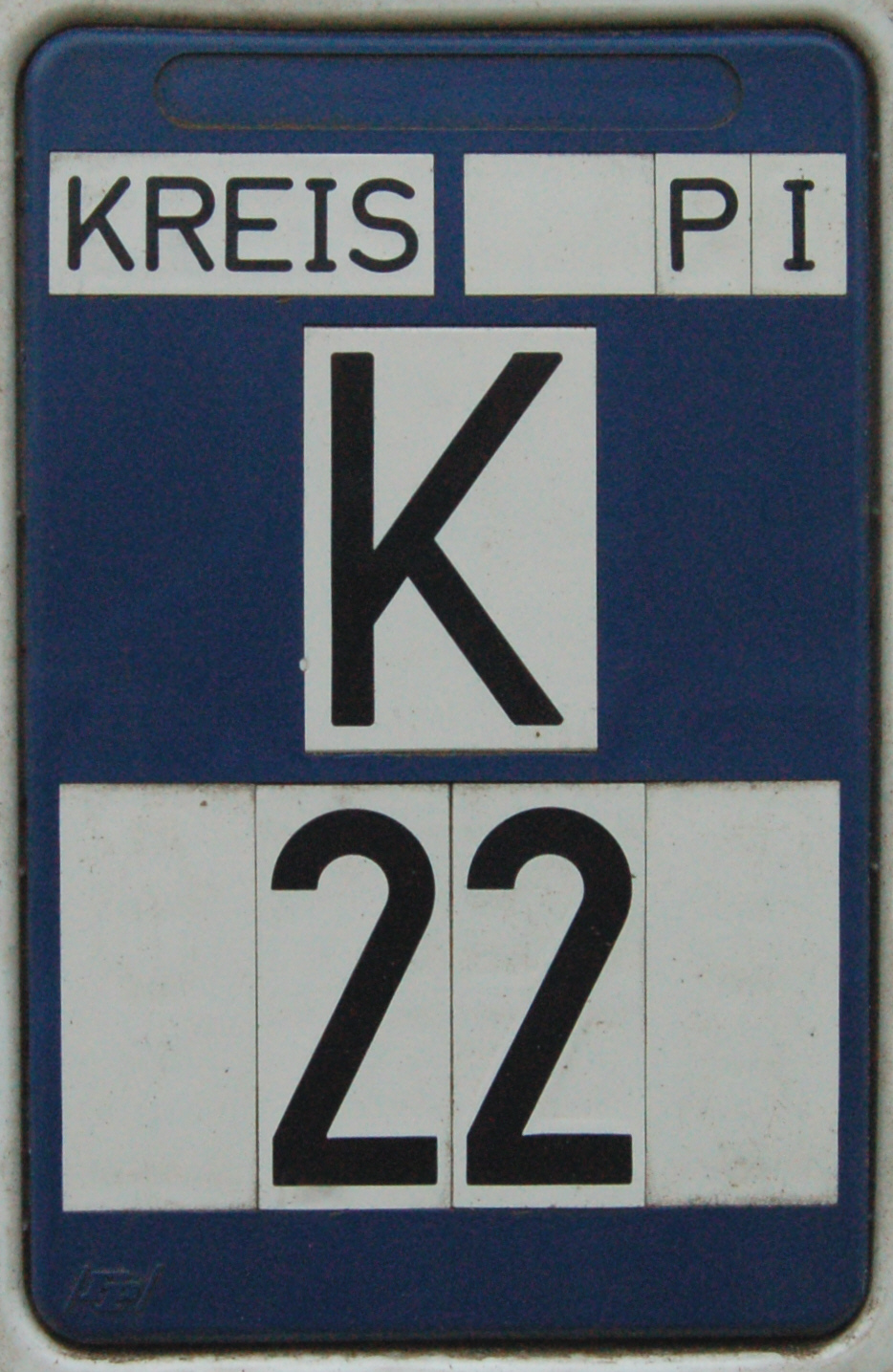
A Kreisstraße (literally: "district road" or "county road") is a class of road in Germany. It carries traffic between the towns and villages within a '' Kreis'' or district or between two neighbouring districts. In importance, the ''Kreisstraße'' ranks below a '' Landesstraße'' (or, in Bavaria and Saxony, a ''Staatstraße'', i.e. a state road), but above a '' Gemeindestraße'' or "local road". ''Kreisstraßen'' are usually the responsibility of the respective rural district ('' Landkreis'') or urban district ('' Kreisfreie Stadt''), with the exception of high streets through larger towns and villages. Kreisstraßen are usually dual-lane roads but, in a few cases, can be built as limited-access dual carriageways in densely populated areas. Numbering Unlike local roads (''Gemeindestraßen'') the ''Kreisstraßen'' are invariably numbered, but their numbering is not shown on signs. The abbreviation is a prefixed capital letter K followed by a serial number. In most states the c ... [...More Info...] [...Related Items...] OR: [Wikipedia] [Google] [Baidu] |


