|
Western Distributor (Sydney)
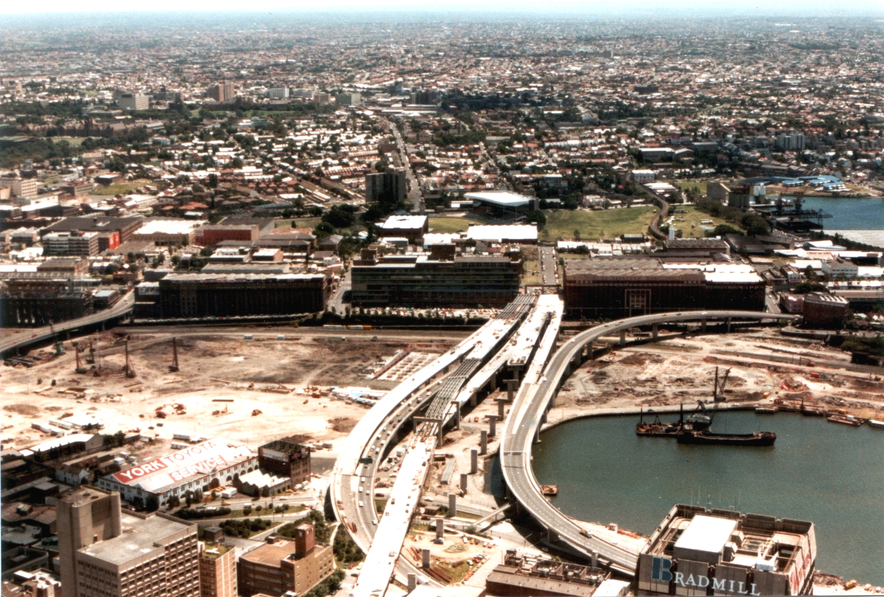
Western Distributor is a grade-separated motorway that is primarily elevated for the majority of its route on the western fringe of the Sydney central business district. It links the southern end of Bradfield Highway at the Sydney Harbour Bridge to Victoria Road in Rozelle, at its western terminus near White Bay. It is a constituent part of the A4 route. Route It is an unusual motorway as, citybound, it heads east, southeast after the Anzac Bridge, east, north then northeast. The freeway distributes traffic arriving from the north (a function which gives the road its name) while collecting traffic from the CBD, distributing it through Pyrmont and Ultimo before crossing over the Anzac Bridge. In the citybound direction, traffic is collected from Victoria Road and the City West Link, as well as various on ramps in the Pyrmont and Ultimo areas. Traffic is distributed into the CBD through various off ramps in Pyrmont and the western edge of the CBD, as well as into the Cr ... [...More Info...] [...Related Items...] OR: [Wikipedia] [Google] [Baidu] |
Bradfield Highway, Sydney
Bradfield Highway is a highway that crosses the Sydney Harbour Bridge in Sydney, New South Wales and is one of the shortest highways in Australia. It opened along with the bridge itself on 19 March 1932 and was named in honour of John Bradfield, the engineer who designed and helped construct it. Route Bradfield Highway commences at the interchange with Warringah Freeway and Lavender Street in North Sydney and heads in a southerly direction as an eight-lane multi-carriageway road, crossing Port Jackson over the Sydney Harbour Bridge, before shortly terminating at the interchange with Western Distributor and Cahill Expressway, at the former southern toll plaza at the southern foot of the bridge, at Millers Point. Bradfield Highway currently carries eight lanes of traffic over Sydney Harbour Bridge, each numbered from one to eight from west to east, but with the two easternmost lanes (lanes 7 and 8) permanently assigned in a southbound direction: lane 7 as a 24hr bus lane, an ... [...More Info...] [...Related Items...] OR: [Wikipedia] [Google] [Baidu] |
Chippendale, New South Wales
Chippendale is a small inner-city suburb of Sydney, New South Wales, Australia on the southern edge of the Sydney central business district, in the Local government in Australia, local government area of the City of Sydney. Chippendale is located between Broadway, New South Wales, Broadway to the north and Cleveland Street, Sydney, Cleveland Street to the south, Central railway station, Sydney, Central railway station to the east and the University of Sydney to the west. History The area was first occupied by the Gadigal people of the Darug, Dharug Nation. William Chippendale was granted a estate in 1819. It stretched to the present day site of Redfern railway station. Chippendale sold the estate to Solomon Levey, emancipist and merchant, in 1821, for 380 pounds. Solomon Levey died while in London in 1833. Levey's heirs sold over to William Hutchinson. Chippendale has a number of heritage-listed sites, including the Regent Street railway station or 'Mortuary Station', located ... [...More Info...] [...Related Items...] OR: [Wikipedia] [Google] [Baidu] |
Princes Highway
Princes Highway is a major road in Australia, extending from Sydney via Melbourne to Adelaide through the states of New South Wales, Victoria (Australia), Victoria and South Australia. It has a length of (along Highway 1) or via the former alignments of the highway, although these routes are slower and connections to the bypassed sections of the original route are poor in many cases. The highway follows the coastline for most of its length, and thus takes quite an indirect and lengthy route. For example, it is from Sydney to Melbourne on Highway 1 (Australia), Highway 1 as opposed to on the more direct Hume Highway (National Highway (Australia), National Highway 31), and from Melbourne to Adelaide compared to on the Western Highway, Victoria, Western and Dukes Highways (National Highway (Australia), National Highway 8). Because of the rural nature and lower traffic volumes over much of its length, Princes Highway is a more scenic and leisurely route than the main highway ... [...More Info...] [...Related Items...] OR: [Wikipedia] [Google] [Baidu] |
York Street, Sydney
York Street is a street in the Sydney central business district in New South Wales, Australia. York Street runs in a north to south direction only. Route From its northern terminus at the junction of Grosvenor Street with the Bradfield Highway, York Street runs south past Wynyard railway station, with major intersections at King and Market streets. The southern terminus of York Street is at Druitt Street, adjacent to the Sydney Town Hall and the Queen Victoria Building. Between Market Street and Druitt Street, traffic is restricted to buses, bicycles and service vehicles only. The City Circle and North Shore railway lines run under York Street. History Named in 1810 by Governor Lachlan Macquarie after the Prince Frederick, Duke of York and Albany, the second eldest child, and second son, of King George III, and brother of King William IV. It was originally known as Barracks Row as it began at the old Barracks parade ground. The southern end became home to many import and e ... [...More Info...] [...Related Items...] OR: [Wikipedia] [Google] [Baidu] |
Parramatta
Parramatta (; ) is a suburb (Australia), suburb and major commercial centre in Greater Western Sydney. Parramatta is located approximately west of the Sydney central business district, Sydney CBD, on the banks of the Parramatta River. It is commonly regarded as the secondary central business district of metropolitan Greater Sydney, Sydney. Parramatta is the municipal seat of the Local government areas of New South Wales, local government area of the City of Parramatta and is often regarded as one of the primary centres of the Greater Sydney metropolitan region, along with the Sydney central business district, Sydney CBD, Penrith, New South Wales, Penrith, Campbelltown, New South Wales, Campbelltown, and Liverpool, New South Wales, Liverpool. Parramatta also has a long history as a second administrative centre in the Sydney metropolitan region, playing host to a number of government departments, as well as state and federal courts. It is often colloquially referred to as "Parra" ... [...More Info...] [...Related Items...] OR: [Wikipedia] [Google] [Baidu] |
Victoria Road, Sydney
Victoria Road is a major road in Sydney, New South Wales, Australia, connecting Parramatta with Rozelle and is currently one of the longest roads in Sydney. The road passes over two major bridges: the Iron Cove Bridge over Iron Cove, and the Gladesville Bridge over the Parramatta River. Route Victoria Road commences at the intersection of O'Connell Street in Parramatta and heads east as a four-lane dual-carriageway road, passing over an interchange with James Ruse Drive in eastern Parramatta, under an interchange with Silverwater Road in Ermington, over another interchange with Devlin Street in Ryde, through Gladesville and Drummoyne, and terminating at a modified intersection with City West Link and Western Distributor at Rozelle. It is predominantly three lanes in each direction between Rozelle and Gladesville, and two or three lanes in each direction west of Gladesville. A large number of Busways and Transit Systems bus routes travel along Victoria Road, and during pe ... [...More Info...] [...Related Items...] OR: [Wikipedia] [Google] [Baidu] |
Transport For NSW
Transport for NSW (TfNSW) is a Government of New South Wales, New South Wales Government transport services and roads List of New South Wales government agencies, agency established on 1 November 2011. The agency is a different entity to the NSW Department of Transport, which is a List of New South Wales government agencies, department of the state government of New South Wales, and the ultimate parent entity of Transport for NSW. The agency's function is to build transport infrastructure and manage transport services in New South Wales. Since absorbing Roads and Maritime Services (RMS) in December 2019, the agency is also responsible for building and maintaining road infrastructure, managing the day-to-day compliance and safety for roads and waterways and vehicle and driving license registrations. The agency reports to the New South Wales Minister for Transport (New South Wales), Minister for Transport, Minister for Roads (New South Wales), Minister for Roads and the Minister ... [...More Info...] [...Related Items...] OR: [Wikipedia] [Google] [Baidu] |
Main Roads Board
The Main Roads Board was an agency of the Government of New South Wales, responsible for planning, constructing and maintaining road infrastructure in New South Wales, Australia. History The Main Roads Board (MRB) was founded on 1 January 1925 pursuant to the Main Roads Act 1924. It took over responsibility of the New South Wales road network from local councils. It also took over the council's loans from the New South Wales Treasury. At the time of its formation, it was responsible for 20,700 kilometres of roads. The MRB ceased to exist on 22 March 1932 with its functions transferred to the Ways & Works Branch. It was succeeded by the Department of Main Roads in December 1932. Publication From 1929, ''Main Roads'' was the MRB's inhouse journal that was published quarterly. |
Parliament Of New South Wales
The Parliament of New South Wales, formally the Legislature of New South Wales, (definition of "The Legislature") is the bicameral legislative body of the Australian state of New South Wales (NSW). It consists of the Monarch, the New South Wales Legislative Assembly (lower house) and the New South Wales Legislative Council (upper house). Each house is directly elected by the people of New South Wales at elections held approximately every four years. The legislative authority of the parliament derives from section 5 of the '' Constitution Act 1902'' (NSW). The power to make laws that apply to New South Wales is shared with the Federal (or Commonwealth) Parliament. The houses of the New South Wales Parliament follow the Westminster parliamentary traditions, green and red chamber colours and protocols for the Legislative Assembly and the Legislative Council, respectively. The houses of the legislature are located in Parliament House on Macquarie Street in Sydney. History The ... [...More Info...] [...Related Items...] OR: [Wikipedia] [Google] [Baidu] |
Corbel
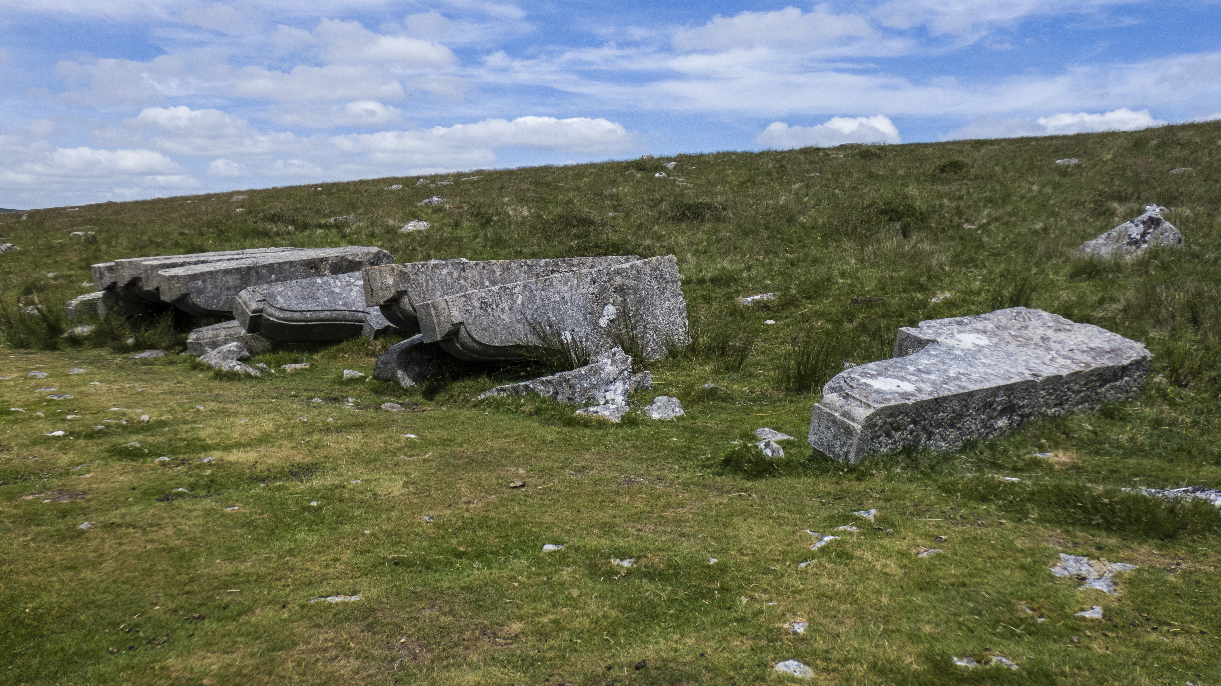
In architecture, a corbel is a structural piece of stone, wood or metal keyed into and projecting from a wall to carry a wikt:superincumbent, bearing weight, a type of bracket (architecture), bracket. A corbel is a solid piece of material in the wall, whereas a console is a piece applied to the structure. A piece of timber projecting in the same way was called a "tassel" or a "bragger" in England. The technique of corbelling, where rows of corbels deeply keyed inside a wall support a projecting wall or parapet, has been used since Neolithic (New Stone Age) times. It is common in medieval architecture and in the Scottish baronial style as well as in the vocabulary of classical architecture, such as the modillions of a Corinthian order, Corinthian cornice. The corbel arch and corbel vault use the technique systematically to make openings in walls and to form ceilings. These are found in the early architecture of most cultures, from Eurasia to Pre-Columbian architecture. A conso ... [...More Info...] [...Related Items...] OR: [Wikipedia] [Google] [Baidu] |
Glebe Island Bridge
The Glebe Island Bridge is a heritage-listed disused swing Allan truss road bridge that carried Victoria Road (as Bank Street) across Johnstons Bay, located in the inner city Sydney suburb of Pyrmont, New South Wales, Australia. The bridge, that connected Rozelle to Pyrmont by road, is one of the last remaining swing bridges of its type in Australia and in the world. It was designed by Percy Allan and built from 1899 to 1903 by Bridges Branch of NSW Public Works Department. It is also known as RMS Bridge No. 61. It was added to the New South Wales State Heritage Register on 29 November 2013 and was listed on the (now defunct) Register of the National Estate on 19 April 1989. History Sydney was declared a city in 1842 and was concentrated in the area currently occupied by the modern CBD. In the mid-1800s, it was a mix of commerce, retail, residences, manufacturing works and factories, with the Botanic Gardens and Domain to the east, port activities to the west and n ... [...More Info...] [...Related Items...] OR: [Wikipedia] [Google] [Baidu] |


