|
Wealden Line
The Wealden LineBroadbent, S., p. 48. is a partly abandoned double track railway line in East Sussex and Kent that connected Lewes with Tunbridge Wells, a distance of . The line takes its name from the Weald, the hilly landscape the lies between the North and South Downs. The line is essentially composed of three sections: in the south, from Lewes to Uckfield closed on 4 May 1969; in the north, from Eridge to Tunbridge Wells West closed on 6 July 1985; in between, from Uckfield to Eridge remains open as part of the Oxted Line. The northern section has partly re-opened under the auspices of the Spa Valley Railway, whilst the Lavender Line has revived Isfield Station on the southern section with about one mile of track. There has been a concerted campaign since 1986 led by the Wealden Line Campaign to have the whole line re-opened to passengers, but a 2008 study concluded that it would be "economically unviable". History Authorisation Authorisation for the construction of a ... [...More Info...] [...Related Items...] OR: [Wikipedia] [Google] [Baidu] |
Double Track
A double-track railway usually involves running one track in each direction, compared to a single-track railway where trains in both directions share the same track. Overview In the earliest days of railways in the United Kingdom, most lines were built as double-track because of the difficulty of co-ordinating operations before the invention of the telegraph. The lines also tended to be busy enough to be beyond the capacity of a single track. In the early days the Board of Trade did not consider any single-track railway line to be complete. In the earliest days of railways in the United States most lines were built as single-track for reasons of cost, and very inefficient timetable working systems were used to prevent head-on collisions on single lines. This improved with the development of the telegraph and the train order system. Operation Handedness In any given country, rail traffic generally runs to one side of a double-track line, not always the same side a ... [...More Info...] [...Related Items...] OR: [Wikipedia] [Google] [Baidu] |
Hastings
Hastings () is a large seaside town and borough in East Sussex on the south coast of England, east to the county town of Lewes and south east of London. The town gives its name to the Battle of Hastings, which took place to the north-west at Senlac Hill in 1066. It later became one of the medieval Cinque Ports. In the 19th century, it was a popular seaside resort, as the railway allowed tourists and visitors to reach the town. Today, Hastings is a fishing port with the UK's largest beach-based fishing fleet. It has an estimated population of 92,855 as of 2018. History Early history The first mention of Hastings is found in the late 8th century in the form ''Hastingas''. This is derived from the Old English tribal name '' Hæstingas'', meaning 'the constituency (followers) of Hæsta'. Symeon of Durham records the victory of Offa in 771 over the ''Hestingorum gens'', that is, "the people of the Hastings tribe." Hastingleigh in Kent was named after that tribe. The place n ... [...More Info...] [...Related Items...] OR: [Wikipedia] [Google] [Baidu] |
Buxted
Buxted is a village and civil parish in the Wealden district of East Sussex in England. The parish is situated on the Weald, north of Uckfield; the settlements of Five Ash Down, Heron's Ghyll and High Hurstwood are included within its boundaries. At one time its importance lay in the Wealden iron industry, and later it became commercially important in the poultry and egg industry. The village has both road (the high street is also the A272) and rail links to Uckfield and to London via Oxted. History The origin of the name Buxted comes from the Saxon ''Bochs stede'' (place of the beeches). The iron-making industry became a major part of Buxted's early prosperity. The first standard blast furnace was called Queenstock and was built in Buxted parish in about 1491. The cannon-making industry in the Weald started at a furnace on the stream at Hoggets Farm lying to the north between Buxted and Hadlow Down. The first cast-iron cannon made in England was cast in 1543 by Ralf Hogge, an ... [...More Info...] [...Related Items...] OR: [Wikipedia] [Google] [Baidu] |
Crowborough
Crowborough is a town and civil parish in East Sussex, England, in the Weald at the edge of Ashdown Forest in the High Weald Area of Outstanding Natural Beauty, 7 miles (11 km) south-west of Royal Tunbridge Wells and 33 miles (53 km) south of London. It had a population 20,607 at the 2011 Census. History Various derivations for the town's name have been put forward. Early local documents give the names Crohbergh, Crowbergh, Croweborowghe, Crowbarrow and Crowboro. ''Croh'' in Old English meant saffron or golden-yellow colour, and ''berg'' meant hill. Gorse grows in profusion in the Crowborough Beacon area, and its yellow flowers might well have contributed to the meaning. In 1734, Sir Henry Fermor, a local benefactor, bequeathed money for a church and charity school for the benefit of the "very ignorant and heathenish people" that lived in the part of Rotherfield "in or near a place called Crowborough and Ashdown Forest". The church, dedicated to All ... [...More Info...] [...Related Items...] OR: [Wikipedia] [Google] [Baidu] |
Beckenham
Beckenham () is a town in Greater London, England, within the London Borough of Bromley, in Greater London. Until 1965 it was part of the historic county of Kent. It is located south-east of Charing Cross, situated north of Elmers End and Eden Park, east of Penge, south of Lower Sydenham and Bellingham, and west of Bromley and Shortlands. Its population at the 2011 census counted 46,844 inhabitants. Beckenham was, until the coming of the railway in 1857, a small village, with most of its land being rural and private parkland. John Barwell Cator and his family began the leasing and selling of land for the building of villas which led to a rapid increase in population, between 1850 and 1900, from 2,000 to 26,000. Housing and population growth has continued at a lesser pace since 1900. The town, directly west of Bromley, has areas of commerce and industry, principally around the curved network of streets featuring its high street and is served in transport by three ma ... [...More Info...] [...Related Items...] OR: [Wikipedia] [Google] [Baidu] |
London, Chatham And Dover Railway
The London, Chatham and Dover Railway (LCDR or LC&DR) was a railway company in south-eastern England created on 1 August 1859, when the East Kent Railway was given parliamentary approval to change its name. Its lines ran through London and northern and eastern Kent to form a significant part of the Greater London commuter network. The company existed until 31 December 1922 when its assets were merged with those of other companies to form the Southern Railway as a result of the grouping determined by the Railways Act 1921. The railway was always in a difficult financial situation and went bankrupt in 1867, but was able to continue to operate. Many of the difficulties were caused by the severe competition and duplication of services with the South Eastern Railway (SER). However, in 1898 the LCDR agreed with the SER to share the operation of the two railways, work them as a single system (as the South Eastern and Chatham Railway) and pool receipts: but it was not a full amalgama ... [...More Info...] [...Related Items...] OR: [Wikipedia] [Google] [Baidu] |
Eridge
Rotherfield is a village and civil parish in the Wealden District of East Sussex, England. It is one of the largest parishes in East Sussex. There are three villages in the parish: Rotherfield, Mark Cross and Eridge. The River Rother, which drains much of the county and discharges at Rye Harbour, has its source on the south side of the hill on which Rotherfield village is built. Etymology The name Rotherfield is thought to derive from the Anglo-Saxon ''redrefeld'' meaning ''cattle lands'', although it has been speculated that it may have originally been called or ''Hrytheranfelda'' meaning ''Hrother's field''. On the south side of the hill on which the village of Rotherfield is built, the River Rother has its source. The main tributary of the River Adur in West Sussex has the same name, as does the river which runs through Rotherham, South Yorkshire. History There are written records of Rotherfield in the 8th century; it was also included in the Domesday Book of 1086 and i ... [...More Info...] [...Related Items...] OR: [Wikipedia] [Google] [Baidu] |
Frederick Banister
Frederick Dale Banister MICE (15 March 1823 – 22 December 1897), was an English civil engineer, best known for his 35 years as the Chief Engineer of the London, Brighton and South Coast Railway (LB&SCR). Early life Born in London on 15 March 1823, he was educated privately until his parents moved to Lancashire, where he completed his schooling at Preston Grammar School. Articled as an apprentice to John J. Myres of Preston when he was aged 15, he gained experience in surveying and levelling, and in the valuation of damage caused to various properties by the construction of railways. In 1844 he joined the civil engineering business of Charles Cawley, and was directly responsible for setting out the first few miles of the Manchester, Bury and Rossendale Railway (MB&RR). The proposed route through the Irwell Valley was approved by the Chief Inspector of Railways Major General Sir Charles W. Pasley on 23 September 1846. While undertaking the works, the MB&RR amalgamated with ... [...More Info...] [...Related Items...] OR: [Wikipedia] [Google] [Baidu] |
Hamsey
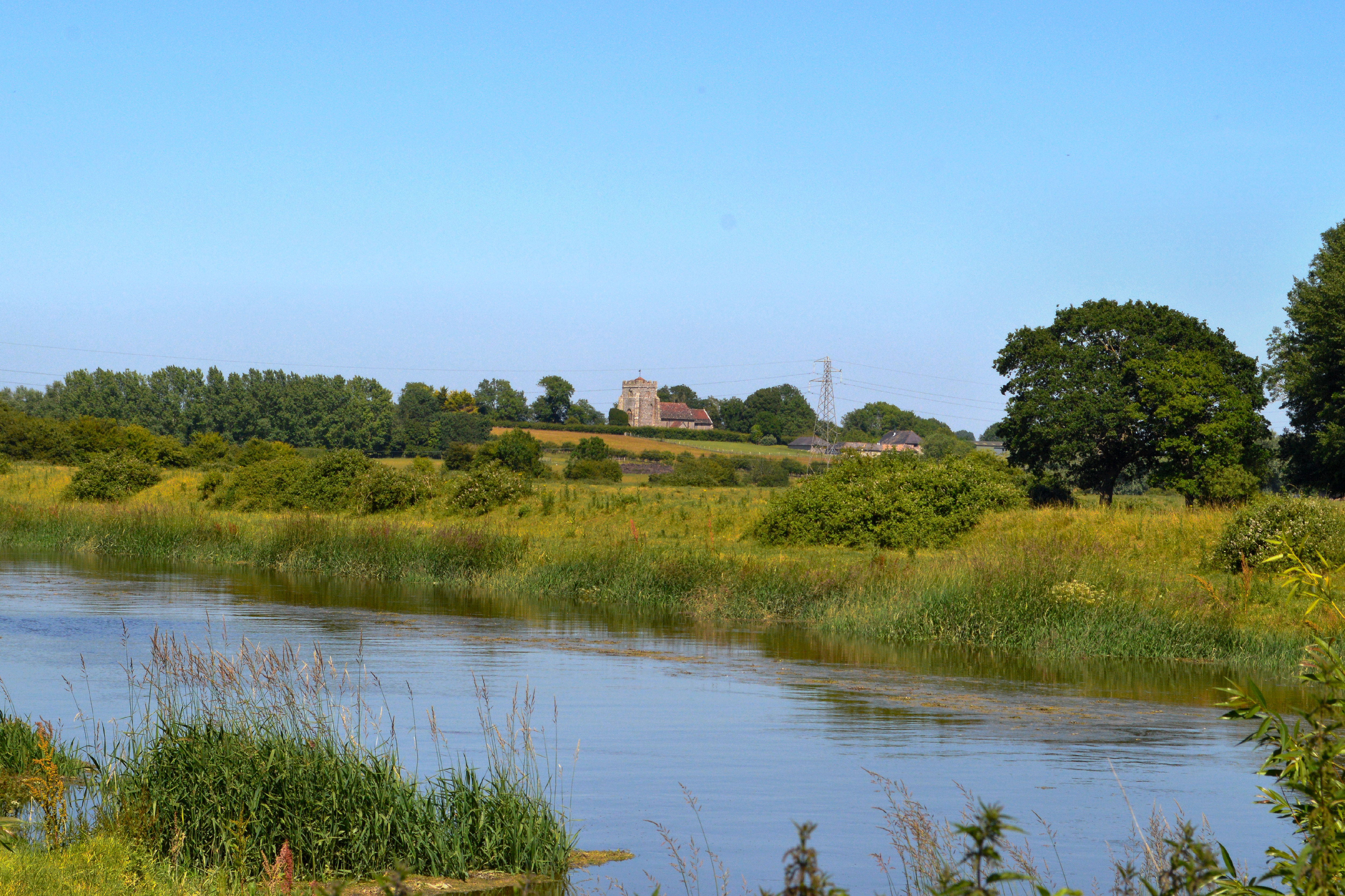
Hamsey is a civil parish in the Lewes District of East Sussex, England. The parish covers a large area () and consists of the villages of Hamsey, Offham and Cooksbridge. The main centres of population in the parish are now Offham and Cooksbridge. Around the main settlements are enlarged fields, isolated old cottages and farms. The winding and undulating parish lanes between banks, old hedge rows, trees, flowery verges and ditches are rightly popular with cyclists and give good views of the Downs. Hamsey (village) Hamsey village itself is located three miles (5 km) north of Lewes on the Prime Meridian. It lies just off the A275 which runs between Lewes and Forest Row, although the road passes through Hamsey parish at Offham and Cooksbridge. The fine medieval ex-parish Church of Old St. Peter's (now a Chapel of Ease) sits on a promontory amongst the meadows of the River Ouse. On the neck of the promontory, by the Hamsey Cut (part of the old Ouse Navigation) the fine old ... [...More Info...] [...Related Items...] OR: [Wikipedia] [Google] [Baidu] |
Kent Railways
Kent is a county in South East England and one of the home counties. It borders Greater London to the north-west, Surrey to the west and East Sussex to the south-west, and Essex to the north across the estuary of the River Thames; it faces the French department of Pas-de-Calais across the Strait of Dover. The county town is Maidstone. It is the fifth most populous county in England, the most populous non-Metropolitan county and the most populous of the home counties. Kent was one of the first British territories to be settled by Germanic tribes, most notably the Jutes, following the withdrawal of the Romans. Canterbury Cathedral in Kent, the oldest cathedral in England, has been the seat of the Archbishops of Canterbury since the conversion of England to Christianity that began in the 6th century with Saint Augustine. Rochester Cathedral in Medway is England's second-oldest cathedral. Located between London and the Strait of Dover, which separates England from mainland Eu ... [...More Info...] [...Related Items...] OR: [Wikipedia] [Google] [Baidu] |
Ouse Navigation
The Ouse ( ) is a 35 mile (56 kilometre) long river in the English counties of West and East Sussex. It rises near Lower Beeding in West Sussex, and flows eastwards and then southwards to reach the sea at Newhaven. It skirts Haywards Heath and passes through Lewes. It forms the main spine of an extensive network of smaller streams, of which the River Uck is the main tributary. As it nears the coast it passes through the Lewes and Laughton Levels, an area of flat, low-lying land that borders the river and another tributary, the Glynde Reach. It was a large tidal inlet at the time of the Domesday book in 1086, but over the following centuries, some attempts were made to reclaim some of the valley floor for agriculture, by building embankments, but the drainage was hampered by the buildup of a large shingle bar which formed across the mouth of the river by longshore drift. In 1539, a new channel for the entrance to the river was cut through the shingle bar, and meadows flourished ... [...More Info...] [...Related Items...] OR: [Wikipedia] [Google] [Baidu] |
Cutting (transportation)
Cutting is the separation or opening of a physical object, into two or more portions, through the application of an acutely directed force. Implements commonly used for cutting are the knife and saw, or in medicine and science the scalpel and microtome. However, any sufficiently sharp object is capable of cutting if it has a hardness sufficiently larger than the object being cut, and if it is applied with sufficient force. Even liquids can be used to cut things when applied with sufficient force (see water jet cutter). Cutting is a compressive and shearing phenomenon, and occurs only when the total stress generated by the cutting implement exceeds the ultimate strength of the material of the object being cut. The simplest applicable equation is: \text = or \tau=\frac The stress generated by a cutting implement is directly proportional to the force with which it is applied, and inversely proportional to the area of contact. Hence, the smaller the area (i.e., the shar ... [...More Info...] [...Related Items...] OR: [Wikipedia] [Google] [Baidu] |


