|
Wattenberg Gas Field
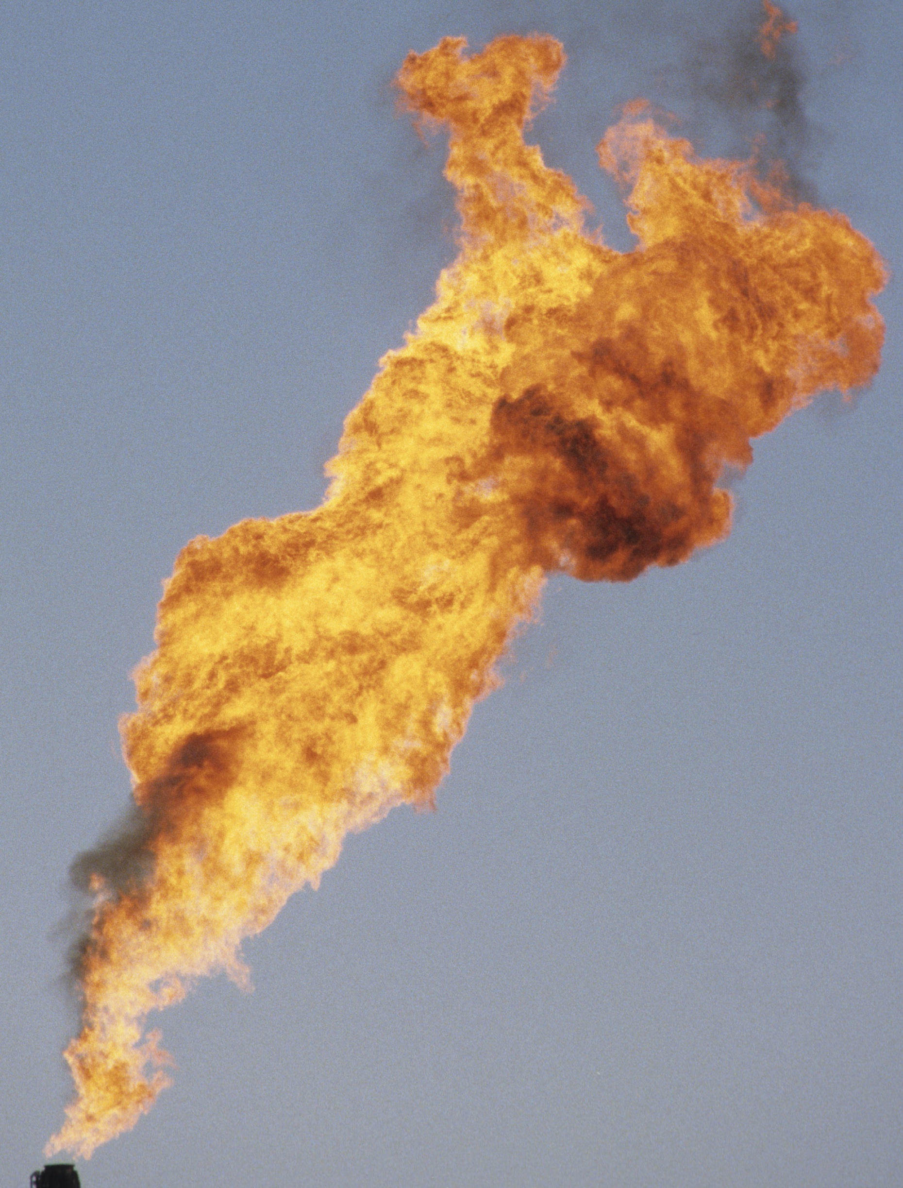
The Wattenberg Gas Field is a large producing area of natural gas and Natural-gas condensate, condensate in the Denver Basin of central Colorado, USA. Discovered in 1970, the field was one of the first places where massive hydraulic fracturing was performed routinely and successfully on thousands of wells. The field now covers more than 2,000 square miles between the cities of Denver and Greeley, and includes more than 23,000 wells producing from a number of Cretaceous formations. The bulk of the field is in Weld County, but it extends into Adams, Boulder, Broomfield, Denver, and Larimer Counties. Geology The reservoir rocks are Cretaceous sandstones, shales, and limestones deposited under marine conditions in the Western Interior Seaway. The gas and condensate is contained within Cretaceous formations in the deepest part of the Denver Basin, where the rocks were subject to enough heat and pressure to generate oil and gas from organic material in the rock. The field is a stratig ... [...More Info...] [...Related Items...] OR: [Wikipedia] [Google] [Baidu] |
Wattenberg Gas Field USA
Wattenberg or Wattenburg may refer to: Places * Wattenberg, Austria * Wattenberg (Habichtswald), a mountain in Hesse, Germany * Wattenberg, Colorado, also spelled Wattenburg, in the United States * Wattenberg Gas Field, United States Other * Wattenberg (surname), a list of people with the surname {{disambiguation, geo, surname ... [...More Info...] [...Related Items...] OR: [Wikipedia] [Google] [Baidu] |
Core Sample
A core sample is a cylindrical section of (usually) a naturally-occurring substance. Most core samples are obtained by drilling with special drills into the substance, such as sediment or rock, with a hollow steel tube, called a core drill. The hole made for the core sample is called the "core hole". A variety of core samplers exist to sample different media under different conditions; there is continuing development in the technology. In the coring process, the sample is pushed more or less intact into the tube. Removed from the tube in the laboratory, it is inspected and analyzed by different techniques and equipment depending on the type of data desired. Core samples can be taken to test the properties of manmade materials, such as concrete, ceramics, some metals and alloys, especially the softer ones. Core samples can also be taken of living things, including human beings, especially of a person's bones for microscopic examination to help diagnose diseases. Methods The ... [...More Info...] [...Related Items...] OR: [Wikipedia] [Google] [Baidu] |
Kerr-McGee
The Kerr-McGee Corporation, founded in 1929, was an American energy company involved in oil exploration, production of crude oil, natural gas, perchlorate and uranium mining and milling in various countries. On June 23, 2006, Anadarko Petroleum acquired Kerr-McGee in an all-cash transaction totalling $16.5 billion plus $2.6 billion in debt and all operations moved from their base in Oklahoma, United States. As a result of further acquisitions, most of the former Kerr-McGee is now part of Occidental Petroleum. History The company later known as Kerr-McGee was founded in 1929 as Anderson & Kerr Drilling Company by Oklahoma businessman-politician Robert S. Kerr (1896-1963) and oil driller James L. Anderson. When Dean A. McGee (1904-1989), a former chief geologist for Phillips Petroleum, joined the firm in 1946, it changed its name to Kerr-McGee Oil Industries, Incorporated. The company initially focused mostly on off-shore oil exploration and production, being one of the first com ... [...More Info...] [...Related Items...] OR: [Wikipedia] [Google] [Baidu] |
Gas Reserves
Oil and gas reserves denote ''discovered'' quantities of crude oil and natural gas from known fields that can be profitably produced/recovered from an approved development. Oil and gas reserves tied to approved operational plans filed on the day of reserves reporting are also sensitive to fluctuating global market pricing. The remaining resource estimates (after the reserves have been accounted) are likely sub-commercial and may still be under appraisal with the potential to be technically recoverable once commercially established. Natural gas is frequently associated with oil directly and gas reserves are commonly quoted in barrels of oil equivalent (BOE). Consequently, both oil and gas reserves, as well as resource estimates, follow the same reporting guidelines, and are referred to collectively hereinafter as ''oil & gas''. Quantification As with other mineral resource estimation, detailed classification schemes have been devised by industry specialists to quantify volu ... [...More Info...] [...Related Items...] OR: [Wikipedia] [Google] [Baidu] |
Energy Information Administration
The U.S. Energy Information Administration (EIA) is a principal agency of the U.S. Federal Statistical System responsible for collecting, analyzing, and disseminating energy information to promote sound policymaking, efficient markets, and public understanding of energy and its interaction with the economy and the environment. EIA programs cover data on coal, petroleum, natural gas, electric, renewable and nuclear energy. EIA is part of the U.S. Department of Energy. Background The Department of Energy Organization Act of 1977 established EIA as the primary federal government authority on energy statistics and analysis, building upon systems and organizations first established in 1974 following the oil market disruption of 1973. EIA conducts a comprehensive data collection program that covers the full spectrum of energy sources, end uses, and energy flows; generates short- and long-term domestic and international energy projections; and performs informative energy analyses ... [...More Info...] [...Related Items...] OR: [Wikipedia] [Google] [Baidu] |
American Petroleum Institute
The American Petroleum Institute (API) is the largest U.S. trade association for the oil and natural gas industry. It claims to represent nearly 600 corporations involved in extraction of petroleum, production, oil refinery, refinement, pipeline transport, distribution, and many other aspects of the petroleum industry. It has advanced climate change denial and blocking of climate change mitigation, climate legislation to defend the interests of its fossil fuels lobby, constituent organizations. The association describes its mission as "to promote safety across the industry globally and influence public policy in support of a strong, viable Petroleum in the United States, U.S. oil and natural gas industry". API's chief functions on behalf of the industry include advocacy, negotiation and Fossil fuels lobby, lobbying with governmental, legal, and regulatory agencies; research into economic, toxicological, and environmental issues, environmental effects; establishment and certificati ... [...More Info...] [...Related Items...] OR: [Wikipedia] [Google] [Baidu] |
Niobrara Formation
The Niobrara Formation , also called the Niobrara Chalk, is a geologic formation in North America that was deposited between 87 and 82 million years ago during the Coniacian, Santonian, and Campanian stages of the Late Cretaceous. It is composed of two structural units, the Smoky Hill Chalk Member overlying the Fort Hays Limestone Member. The chalk formed from the accumulation of coccoliths from microorganisms living in what was once the Western Interior Seaway, an inland sea that divided the continent of North America during much of the Cretaceous. It underlies much of the Great Plains of the US and Canada. Evidence of vertebrate life is common throughout the formation and includes specimens of plesiosaurs, mosasaurs, pterosaurs, and several primitive aquatic birds. The type locality for the Niobrara Chalk is the Niobrara River in Knox County in northeastern Nebraska. The formation gives its name to the Niobrara cycle of the Western Interior Seaway. History of expl ... [...More Info...] [...Related Items...] OR: [Wikipedia] [Google] [Baidu] |
Amoco
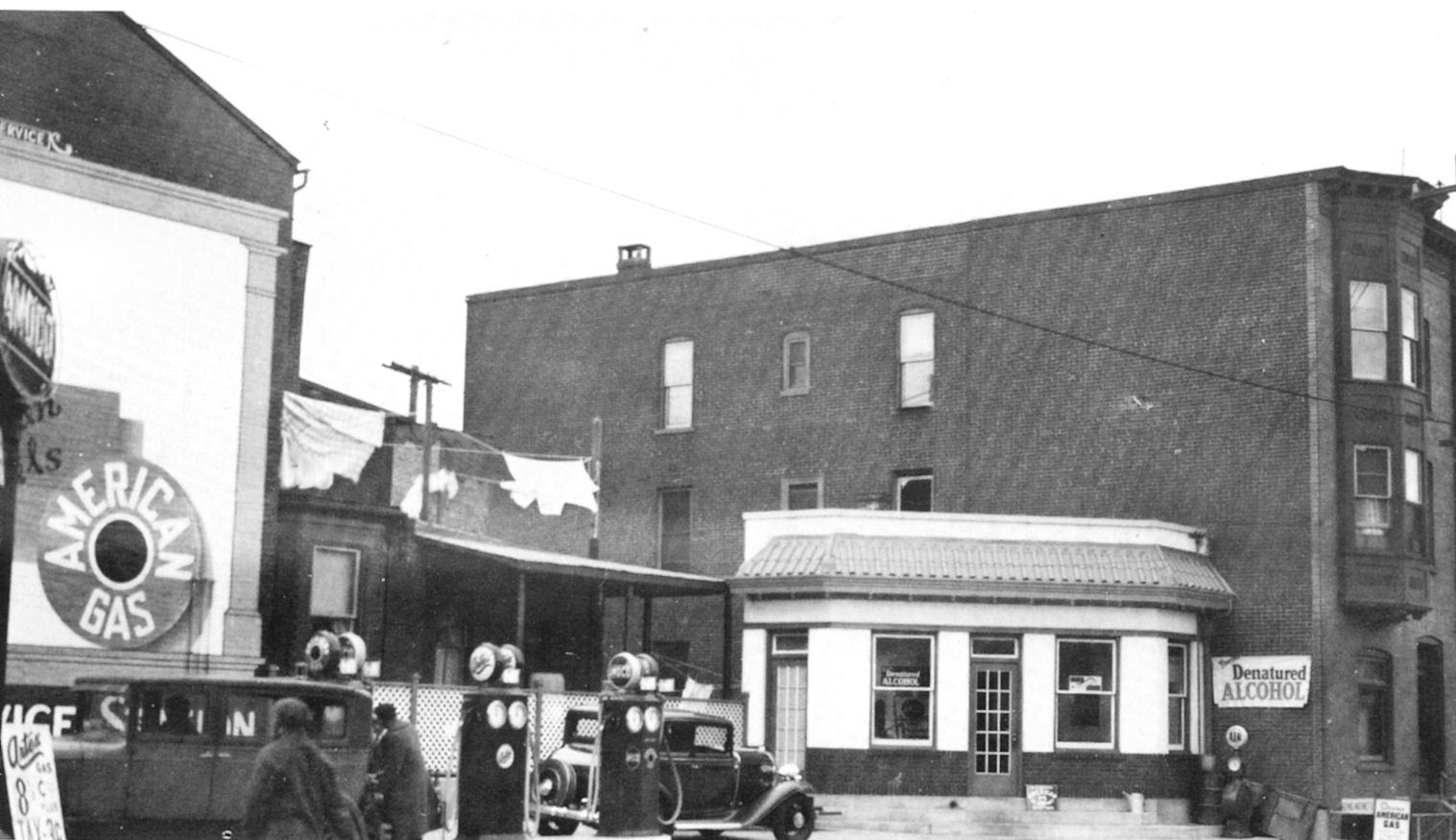
Amoco ( ) is a brand of filling station, fuel stations operating in the United States and owned by British conglomerate BP since 1998. The Amoco Corporation was an American chemical and petroleum, oil company, founded by Standard Oil Company in 1889 around a oil refinery, refinery in Whiting, Indiana, and was officially the Standard Oil Company of Indiana until 1985. In 1911, it became an independent corporation as part of the break-up of the Standard Oil trust. Incorporated in Indiana, it was headquartered in Chicago. In 1925, Standard Oil of Indiana absorbed the American Oil Company, founded in Baltimore in 1910, and incorporated in 1922, by Louis Blaustein and his son Jacob Blaustein, Jacob. The combined corporation operated or licensed gas stations under both the ''Standard'' name and the ''American'' or ''Amoco'' name (the latter from ''American oil company'') and its logo using these names became a red, white and blue oval with a torch in the center. By the mid-twentiet ... [...More Info...] [...Related Items...] OR: [Wikipedia] [Google] [Baidu] |
River Delta
A river delta is a landform, archetypically triangular, created by the deposition of the sediments that are carried by the waters of a river, where the river merges with a body of slow-moving water or with a body of stagnant water. The creation of a river delta occurs at the '' river mouth'', where the river merges into an ocean, a sea, or an estuary, into a lake, a reservoir, or (more rarely) into another river that cannot carry away the sediment supplied by the feeding river. Etymologically, the term ''river delta'' derives from the triangular shape (Δ) of the uppercase Greek letter delta. In hydrology, the dimensions of a river delta are determined by the balance between the watershed processes that supply sediment and the watershed processes that redistribute, sequester, and export the supplied sediment into the receiving basin. River deltas are important in human civilization, as they are major agricultural production centers and population centers. They can provide ... [...More Info...] [...Related Items...] OR: [Wikipedia] [Google] [Baidu] |
Well Logging
Well logging, also known as borehole logging is the practice of making a detailed record (a ''well log'') of the geologic formations penetrated by a borehole. The log may be based either on visual inspection of samples brought to the surface (''geological'' logs) or on physical measurements made by instruments lowered into the hole (''geophysical'' logs). Some types of geophysical well logs can be done during any phase of a well's history: drilling, completing, producing, or abandoning. Well logging is performed in boreholes drilled for the oil and gas, groundwater, mineral and geothermal exploration, as well as part of environmental, scientific and geotechnical studies. Wireline logging Different industries, as mining, oil and gas uses wireline logging to obtain a continuous record of a formation's rock properties, also, groundwater consultants. Wireline logging can be defined as being "The acquisition and analysis of geophysical data performed as a function of well b ... [...More Info...] [...Related Items...] OR: [Wikipedia] [Google] [Baidu] |
Outcrop
An outcrop or rocky outcrop is a visible exposure of bedrock or ancient superficial deposits on the surface of the Earth and other terrestrial planets. Features Outcrops do not cover the majority of the Earth's land surface because in most places the bedrock or superficial deposits are covered by soil and vegetation and cannot be seen or examined closely. However, in places where the overlying cover is removed through erosion or tectonic uplift, the rock may be exposed, or ''crop out''. Such exposure will happen most frequently in areas where erosion is rapid and exceeds the weathering rate such as on steep hillsides, mountain ridges and tops, river banks, and tectonically active areas. In Finland, glacial erosion during the last glacial maximum (ca. 11000 BC), followed by scouring by sea waves, followed by isostatic uplift has produced many smooth coastal and littoral outcrops. Bedrock and superficial deposits may also be exposed at the Earth's surface due to human exca ... [...More Info...] [...Related Items...] OR: [Wikipedia] [Google] [Baidu] |


