|
Wanlip
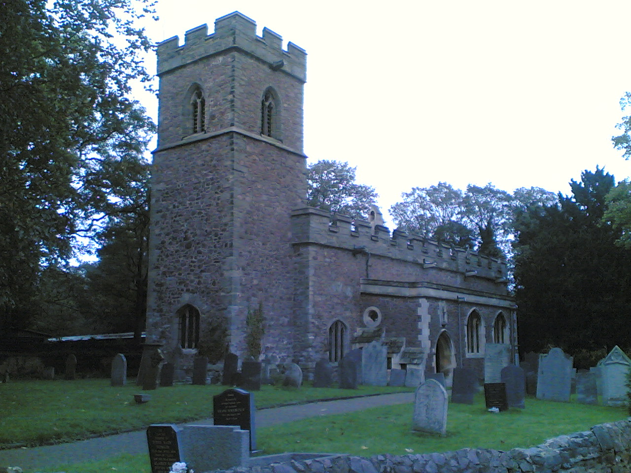
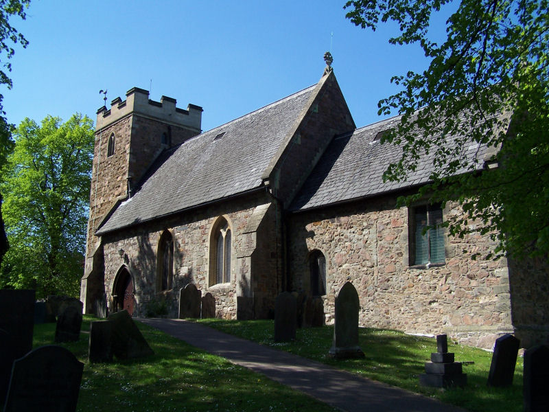
Wanlip is a small village and civil parish in the Charnwood (borough), Charnwood district of Leicestershire, with a population measured at 305 at the 2011 census. It is a countryside village, north of Birstall, Leicestershire, Birstall, and west of Watermead Country Park and the River Soar. The A46 road runs directly past the village. Wanlip won the 2008 Leicester and RutlanBest Village Competitionfor villages with a population under 500. To the south of Wanlip iWanlip Meadows a Leicestershire and Rutland Wildlife Trust nature reserve. To the north is a Severn Trent sewage treatment plant, serving a population of more than half a million. The Cedars Academy lies to the south at the edge of Birstall. To the east lies the 14 hectare Reedbed Local Nature Reserve, part of the Watermead Country Park. Wanlip is the site of a 132-metre-high wind turbine which went into operation at the end of 2013. [...More Info...] [...Related Items...] OR: [Wikipedia] [Google] [Baidu] |
Wanlip Hall
Wanlip Hall was a large house in Wanlip near the English city of Leicester. It was the ancestral home of the Palmer baronets, Palmer family. The building was demolished before the World War II, Second World War. History There was a hall in Wanlip that came into the possession of Walter Palmer of Staffordshire in 1622 from Walter Aston, 1st Lord Aston of Forfar, Sir Walter Aston. The Palmer family were only the third family to own the manor in the last 800 years. This former hall was designed for defence and it had castle-like properties. The older hall was demolished and it was replaced by the Palmer family with a new hall in about 1750. They later extended and improved this imposing building that stood beside the River Soar.Wanlip Hall European Magazine, 1803, p33, retrieved 1 July 2014 The first baronet was Charles Grave Hudson, 1st ... [...More Info...] [...Related Items...] OR: [Wikipedia] [Google] [Baidu] |
Leicestershire And Rutland Wildlife Trust
The Leicestershire and Rutland Wildlife Trust (LRWT) is one of 46 The Wildlife Trusts, wildlife trusts across the United Kingdom. It manages nature reserves in Leicestershire and Rutland, and was founded in 1956 as the Leicestershire and Rutland Trust for Nature Conservation. As of January 2018, it has over 16,000 members, a staff of about 25 and more than 500 volunteers. It is based in Leicester, and is managed by a Council of Trustees which is elected by the members. It is a charity which covers all aspects of nature conservation, and works to protect wild places and wildlife. Leicestershire has an area of , and a population according to the United Kingdom Census 2011, 2011 census of 980,000. Leicester City Council is a Unitary authorities of England, unitary authority, and the rest of the county is administered by Leicestershire County Council at the top level, with seven Districts of England, district councils in the second tier, Blaby District, Blaby, Borough of Charnwood, ... [...More Info...] [...Related Items...] OR: [Wikipedia] [Google] [Baidu] |
Thomas Walsh (before 1346–97/8)
Sir Thomas Walsh (before 1346-1397/8) was an English soldier, landowner and politician. Background and family The Walsh (Waleys, Wallshe) family was first mentioned in connection with Wanlip in 1248. Thomas was born before 1346, the second son of Sir John Walsh and his wife Alice Cliff. He is the subject of a detailed and extensively-referenced biography that can be consulted aHistory of Parliament Online Thomas and his wife Katherine had the following children, who are not necessarily all listed in order of their age: * William * John * Thomas * Margaret – married Sir Thomas Gresley * Elizabeth – married Sir Thomas Boyville * Richard Career Thomas was part of the retinue of John of Gaunt, when the English army devastated the Pays de Caux in the summer of 1369. The numerous official positions that he held included: * 1373 – Commissioner to distribute tax relief in Leicestershire * 1375 – Escheator of Warwickshire and Leicestershire * 1379 – Surveyor of tax assessmen ... [...More Info...] [...Related Items...] OR: [Wikipedia] [Google] [Baidu] |
A46 Road
The A46 is a major A road in England. It starts east of Bath, Somerset and ends in Cleethorpes, Lincolnshire, but it does not form a continuous route. Large portions of the old road have been lost, bypassed, or replaced by motorway development. Between Leicester and Lincoln the road follows the course of the Roman Fosse Way, but between Bath and Leicester, two cities also linked by the Fosse Way, it follows a more westerly course. History The original (1923) route of the A46 was from Bath to Laceby, passing through Cheltenham, Broadway, Stratford-on-Avon, Coventry, Leicester, Newark and Lincoln. Unusually for such a long road, no changes were made to its route until the 1970s. In recent years the central sections of the road have been rerouted and renumbered substantially, and there are now two sections where there are gaps of over where the road does not exist at all. The A46 has also been extended from Laceby to Grimsby and Cleethorpes – the road between Laceby ... [...More Info...] [...Related Items...] OR: [Wikipedia] [Google] [Baidu] |
Birstall, Leicestershire
Birstall is a large village and civil parish within the Charnwood borough of Leicestershire, England. It is three miles north of Leicester city centre and is part of the wider Leicester Urban Area. It is the largest village in Charnwood, with a population only marginally lower than the neighbouring town of Syston at the 2001 census. Village Birstall lies on the A6 and is the last major settlement before Leicester when arriving from the north. Birstall thus forms part of the Leicester Urban Area. The village centre lies just off the A6, along Sibson Road. The village contains two supermarkets, a garden centre and a variety of other shops. There are a number of schools, including Highcliffe Primary School, Riverside Primary School, Hallam Fields Primary School and The Cedars Academy. The village contains the Church of St James the Great, Birstall, the St Teresa Roman Catholic church and Birstall Methodist Church. There is a large housing estate in the north-west of t ... [...More Info...] [...Related Items...] OR: [Wikipedia] [Google] [Baidu] |
Belgrave, Leicestershire
Belgrave is an area, suburb, electoral ward and administrative division of the city of Leicester, in the ceremonial county of Leicestershire, England. Belgrave is the location of and known for several notable landmarks such as the National Space Centre, Space Park Leicester, Abbey Pumping Station, the Golden Mile and Belgrave Hall. It is also noted for being the location of businesses such as British United Shoe Machinery and Wolsey. The Old Belgrave Village, containing the Belgrave Conservation Area, including Belgrave Hall, Belgrave House, St Peter's Church and The Talbot Pub is to the west of Loughborough Road and to the east of the River Soar. Geography Belgrave is bounded by the wards and areas of the suburb of Rushey Mead and the village of Birstall to the north, Spinney Hills, North Evington and Northfields to the east on the other side of the Midland Main Line, St Matthew's and Leicester City Centre to the south and Beaumont Leys and Stocking Farm to ... [...More Info...] [...Related Items...] OR: [Wikipedia] [Google] [Baidu] |
The Cedars Academy
The Cedars Academy is a co-educational secondary school and sixth form located in Birstall in the English county of Leicestershire. History The school opened in 1959 as the Longslade Grammar School, which became a comprehensive before 1966. Longslade was created at a time of innovation in Leicestershire with regard to education. Leicestershire had created what was to be known as the Leicestershire Plan. Education authorities are not renowned from learning from each other but Leicestershire received delegations from half of the other authorities in England as well as attention from the US to see the novel changes in Educational policy that they introduced. The school population in Leicestershire was expanding. In 1948 there were just under 44,000 children in Leicestershire but this had expanded to over 72,000 by 1968. This was not just population growth but movement from Leicester to the outlying suburbs like Oadby, Wigston and included in this list was Birstall. The county w ... [...More Info...] [...Related Items...] OR: [Wikipedia] [Google] [Baidu] |
River Soar
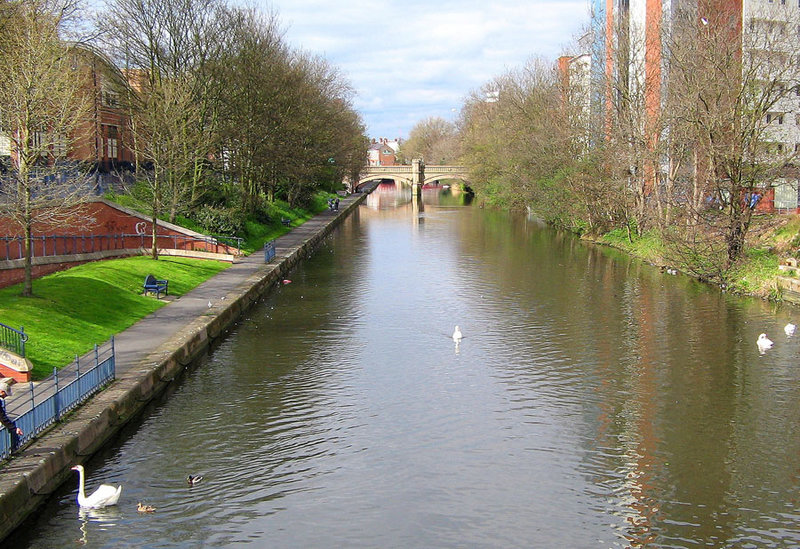
The River Soar () is a major tributary of the River Trent in the East Midlands as well as the principal river of Leicestershire, England. The source of the river is midway between Hinckley and Lutterworth. The river then flows north through Leicester, where it is joined by the Grand Union Canal. Continuing on through the Leicestershire Soar Valley, it passes Loughborough and Kegworth until it reaches the Trent at the county boundary. In the 18th century, the Soar was made navigable, initially between Loughborough and the Trent, and then through to Leicester. It was not until the early 19th century that it was linked by the Grand Union Canal to the wider network to the south and to London. Name The name of the ''Soar'' is included in a family of old river-names derived from a root ''*ser-'' "to flow", alongside (among others) ''Saravus'' (''Soar'', a tributary of the Moselle in Belgium), ''Sera'' (''la Serre'', ''la Cère'' and ''le Séran'', three rivers in France), ... [...More Info...] [...Related Items...] OR: [Wikipedia] [Google] [Baidu] |
Borough Of Charnwood
Charnwood is a local government district with borough status in the north of Leicestershire, England. It is named after Charnwood Forest, much of which lies within the borough. Towns in the borough include Loughborough (where the council is based), Shepshed and Syston. Villages in the borough include Barrow upon Soar, Birstall, Hathern, Mountsorrel, Quorn, Rothley, Sileby and Woodhouse Eaves. The neighbouring districts are Melton, Harborough, Leicester, Blaby, Hinckley and Bosworth, North West Leicestershire and Rushcliffe. History The district was created on 1 April 1974 under the Local Government Act 1972, covering the area of three former districts, which were all abolished at the same time: * Barrow upon Soar Rural District * Loughborough Municipal Borough * Shepshed Urban District Prior to the new district coming into being there was some debate as to what name it should take, with alternatives considered including "Loughborough and Soar Valley", "Gr ... [...More Info...] [...Related Items...] OR: [Wikipedia] [Google] [Baidu] |
Charnwood (UK Parliament Constituency)
Charnwood was a constituency of the House of Commons in the UK Parliament from 1997 to 2024. Further to the completion of the 2023 Periodic Review of Westminster constituencies, the seat was abolished for the 2024 general election, with the majority of the electorate being included in the new constituency of Mid Leicestershire. Syston, East Goscote and Thurmaston were included in the newly created constituency of Melton and Syston. Constituency profile The seat emerged from the Boundary Commission report of 1995 reflecting population increases in Leicestershire for the 1997 general election; the largest part of it was previously in Loughborough. During its existence, Charnwood was a Conservative Party stronghold. It mostly comprised affluent commuter villages to the north of Leicester and south of Loughborough; its residents were slightly wealthier than the UK average. Boundaries 1997–2010: The Borough of Charnwood wards of Birstall Goscote, Birstall Greengate, Birstal ... [...More Info...] [...Related Items...] OR: [Wikipedia] [Google] [Baidu] |
Aubrey De Vere II
Aubrey () is a traditionally male English name. It was quite common in the Middle Ages, but had lost favour for a time before experiencing a resurgence of popularity in the 19th century. In the United States, following the 1973 release of the song "Aubrey", by the band Bread, ''Aubrey'' began to be commonly used as a given name for girls, potentially influenced by its similarity to '' Audrey''. In 2023, ''Aubrey'' was the 101st most popular girls' name in the United States. Etymology ''Aubrey'' is from the Norman French derivation '' Aubry'' of the Germanic given name '' Alberic'' / Old High German given name '' Alberich'', which consists of the elements ''alb'' 'elf' and ''ric'' 'power' or 'ruler', Before being largely replaced by ''Aubrey'' after the Norman Conquest of England, the Anglo-Saxons used the native form ''Ælfrīc''. The mediaeval feminine name ''Aubrée'', independently derived from the Germanic name ''Alberada'', was common in Normandy and Post-Conquest Eng ... [...More Info...] [...Related Items...] OR: [Wikipedia] [Google] [Baidu] |


