|
WWLE
WWLE (1170 AM) is a radio station broadcasting a Regional Mexican format. Licensed to Cornwall, New York, United States, the station serves the Newburgh-Middletown area. 1170 AM is a United States clear-channel frequency, on which WWVA and KOTV share Class A status. WWLE must leave the air during the sunset to sunrise period to protect the nighttime skywave signals of the Class A stations. History WWLE has existed in two incarnations. The original WWLE came to air on November 22, 1969, as the dream of the late ABC radio newscaster William L. Edmonds; the call letters are his initials. Edmonds' widow Adeline served as WWLE's president, while their son Bill ran the news department. The station aired a big band/standards format with country programs on the weekends, broadcasting from the village of Cornwall-on-Hudson. After several years, the station faced financial troubles and was eventually bought out by investors including Angelo Martinelli, the mayor of Yonkers, New York. ... [...More Info...] [...Related Items...] OR: [Wikipedia] [Google] [Baidu] |
Radio Stations In New York (state)
The following is a list of Federal Communications Commission, FCC-licensed radio stations in the U.S. state of New York (state), New York, which can be sorted by their Call signs in North America, call signs, frequency, frequencies, city of license, cities of license, licensees, and radio format, programming formats. List of radio stations in New York state Defunct * Jukebox Radio * W8XH * WAIH (New York), WAIH * WBVG * WCBA (AM), WCBA * WCEB (Corning, New York), WCEB * WCHN * WDCD (AM), WDCD * WDT (New York City), WDT * WETD * WFAS (AM), WFAS * WGLI (New York), WGLI * WGYN * WIRD * WJY (New York City), WJY * WMGM-FM (New York City), WMGM-FM * WNYK * WOSS * WQKE * WSPQ * WVBN (Turin, New York), WVBN * WXKW (Albany, New York), WXKW * WYBG * WYOS * WLDM-LP References Bibliography * External links www.radiomap.us – List of radio stations in New York Citywww.radiomap.us – List of radio stations in Riverhead, New York (Long Island)www.radiomap.us – List of radio st ... [...More Info...] [...Related Items...] OR: [Wikipedia] [Google] [Baidu] |
1170 AM
The following radio stations broadcast on AM frequency 1170 kHz: 1170 AM is a United States clear-channel frequency. Class A status is shared by three stations: KOTV in Tulsa, Oklahoma, WWVA in Wheeling, West Virginia, and KJNP in North Pole, Alaska. Because 1170 kHz is a multiple of both 9 and 10, the frequency is available for use by broadcast stations in all three ITU regions. In Argentina * LRA29 in San Luis * Mi Pais in Hurlingham, Buenos Aires In China * CNR The Voice of China, mainly in Huizhou In Mexico * XERT-AM in Reynosa, Tamaulipas In the Philippines * DZCA, in Manila * DXMR, in Zamboanga City In Slovenia * Radio Capodistria in Koper In South Korea * KBS World Radio Korean service(19:00~20:00 KST) Japanese service(20:00~21:00 KST) Russian service(21:00~22:00 KST) Chinese service(22:00~23:00 KST) * KBS Hanminjok Radio(23:00~13:00 KST) Power: D500kW In the United States Stations in bold are clear-channel station A clear-c ... [...More Info...] [...Related Items...] OR: [Wikipedia] [Google] [Baidu] |
List Of Broadcast Station Classes
This is a list of broadcast station classes applicable in much of North America under international agreements between the United States, Canada and Mexico. Effective radiated power (ERP) and height above average terrain (HAAT) are listed unless otherwise noted. All radio and television stations within of the US-Canada or US-Mexico border must get approval by both the domestic and foreign agency. These agencies are Industry Canada/ Canadian Radio-television and Telecommunications Commission (CRTC) in Canada, the Federal Communications Commission (FCC) in the US, and the Federal Telecommunications Institute (IFT) in Mexico. AM Station class descriptions All domestic (United States) AM stations are classified as A, B, C, or D. * A (formerly I) — clear-channel stations — 10 kW to 50 kW, 24 hours. **Class A stations are only protected within a radius of the transmitter site. **The old Class I was divided into three: Class I-A, I-B and I-N. NARBA distingu ... [...More Info...] [...Related Items...] OR: [Wikipedia] [Google] [Baidu] |
Radio Stations Established In 1969
Radio is the technology of communicating using radio waves. Radio waves are electromagnetic waves of frequency between 3 hertz (Hz) and 300 gigahertz (GHz). They are generated by an electronic device called a transmitter connected to an antenna which radiates the waves. They can be received by other antennas connected to a radio receiver; this is the fundamental principle of radio communication. In addition to communication, radio is used for radar, radio navigation, remote control, remote sensing, and other applications. In radio communication, used in radio and television broadcasting, cell phones, two-way radios, wireless networking, and satellite communication, among numerous other uses, radio waves are used to carry information across space from a transmitter to a receiver, by modulating the radio signal (impressing an information signal on the radio wave by varying some aspect of the wave) in the transmitter. In radar, used to locate and track objects like air ... [...More Info...] [...Related Items...] OR: [Wikipedia] [Google] [Baidu] |
Wheeling, West Virginia
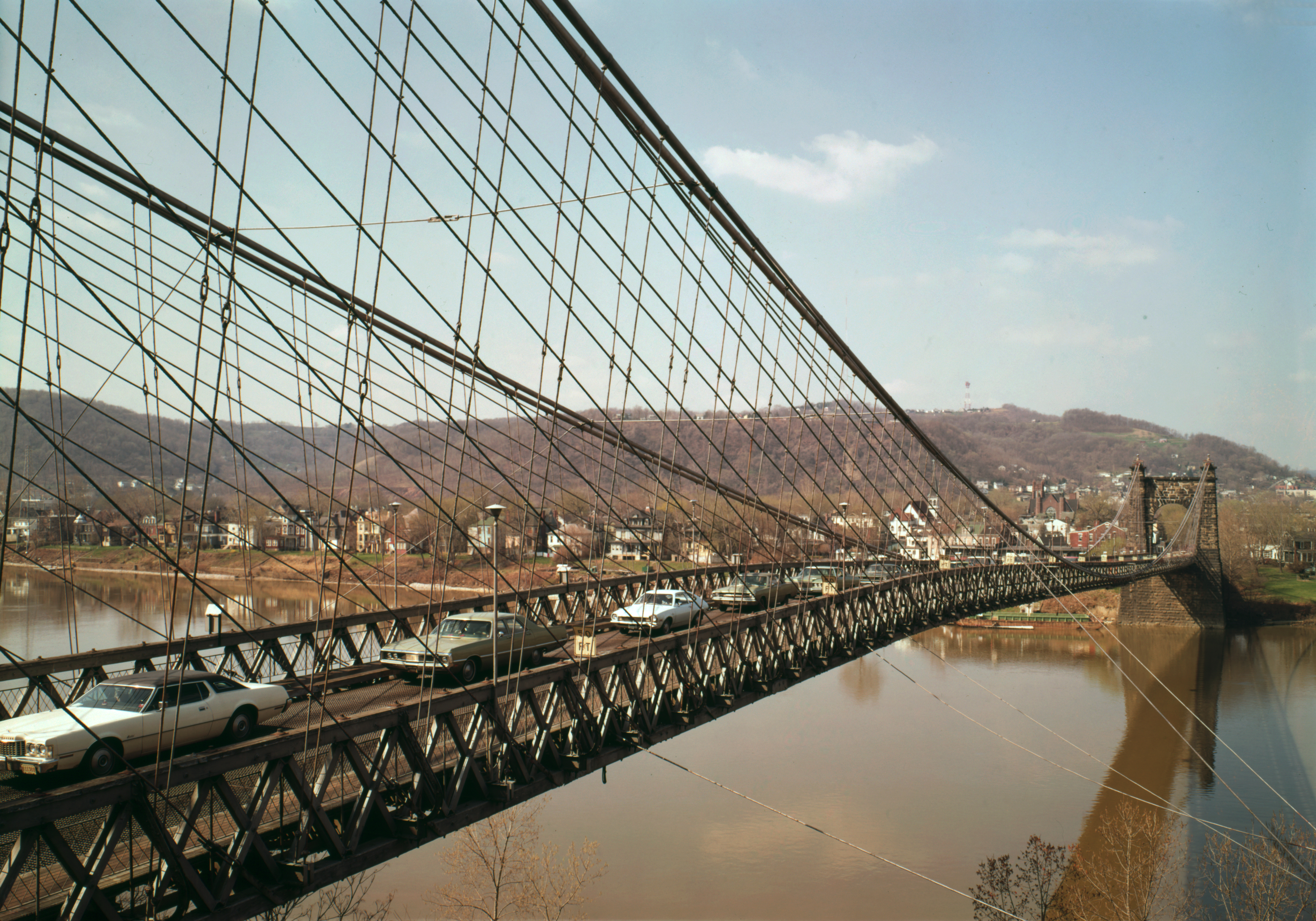
Wheeling is a city in Ohio County, West Virginia, Ohio and Marshall County, West Virginia, Marshall counties in the U.S. state of West Virginia. The county seat of Ohio County, it lies along the Ohio River in the foothills of the Appalachian Mountains within Northern Panhandle of West Virginia, the state's Northern Panhandle. It is the List of municipalities in West Virginia, fifth-most populous city in West Virginia and the most populous city in the Northern Panhandle with a population of 27,062 at the 2020 United States census, 2020 census. The Wheeling metropolitan area had 139,513 residents in 2020. Wheeling is located about west of Pittsburgh and east of Columbus, Ohio, Columbus via Interstate 70 in West Virginia, Interstate 70. Wheeling was settled in 1769 on land contested between colonial Province of Pennsylvania, Pennsylvania and Colony of Virginia, Virginia, and later grew to become Virginia's largest city west of the Appalachians. During the American Civil War, Whee ... [...More Info...] [...Related Items...] OR: [Wikipedia] [Google] [Baidu] |
CNN Radio
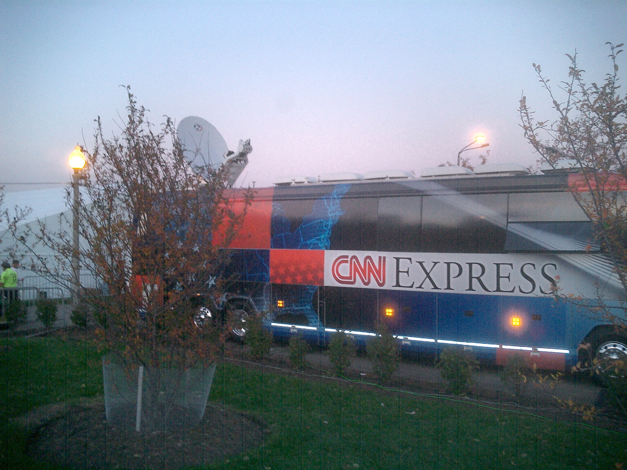
Cable News Network (CNN) is a multinational news organization operating, most notably, a website and a TV channel headquartered in Atlanta. Founded in 1980 by American media proprietor Ted Turner and Reese Schonfeld as a 24-hour cable news channel, and presently owned by the Manhattan-based media conglomerate Warner Bros. Discovery (WBD), CNN was the first television channel to provide 24-hour news coverage and the first all-news television channel in the United States. As of December 2023, CNN had 68,974,000 television households as subscribers in the United States. According to Nielsen, down from 80 million in March 2021. In June 2021, CNN ranked third in viewership among cable news networks, behind Fox News and MSNBC, averaging 580,000 viewers throughout the day, down 49% from a year earlier, amid sharp declines in viewers across all cable news networks. While CNN ranked 14th among all basic cable networks in 2019, then jumped to 7th during a major surge for the thre ... [...More Info...] [...Related Items...] OR: [Wikipedia] [Google] [Baidu] |
New Paltz, New York
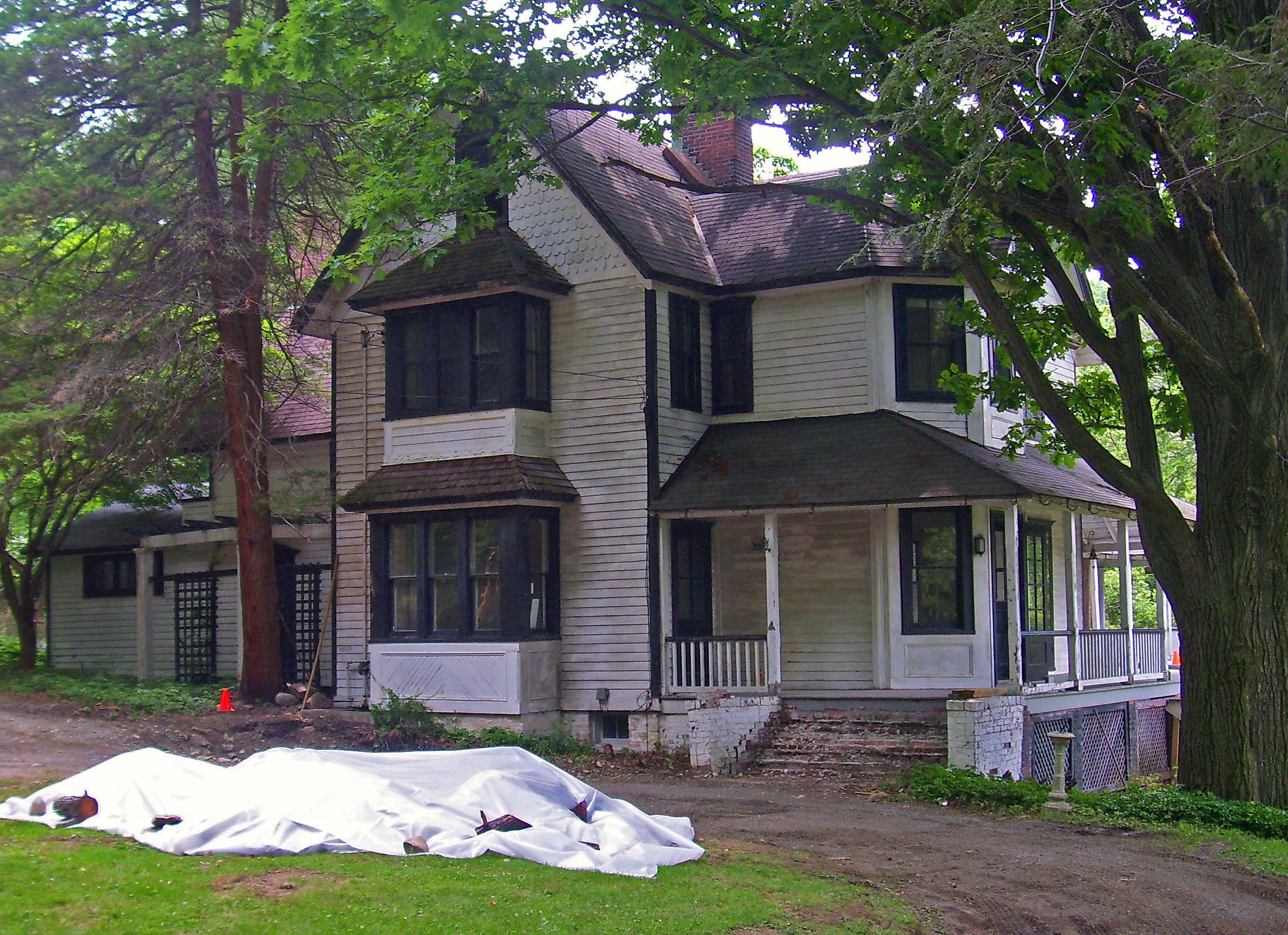
New Paltz () is an incorporated U.S. town in Ulster County, New York. The population was 14,407 at the 2020 census. The town is located in the southeastern part of the county and is south of Kingston. New Paltz contains a village, also with the name New Paltz. The town is named for ''Palz'' (), the dialect name of the Palatinate, called ''Pfalz'' () in standard German. Due to the presence of what is now the State University of New York at New Paltz, it has been a college town for over 150 years. History The town of New Paltz was founded in 1678 by French Huguenots by both patent from the governor and purchase from the local Esopus tribe of the Lenape people. Prior to the purchase of New Paltz during the 17th century, the Esopus tribe had been pressured off much of their land which is now present day Ulster and Sullivan counties, because of conflicts known as the Esopus Wars. As a result, the Esopus were willing to exchange the land for a hefty sum of goodThe Huguenots ... [...More Info...] [...Related Items...] OR: [Wikipedia] [Google] [Baidu] |
New York State Route 299
New York State Route 299 (NY 299) is a short but important state route entirely within Ulster County, New York, in the United States. Centered on its interchange with the New York State Thruway outside New Paltz, it provides access from that road to the popular recreational attractions of the Shawangunk Ridge to the west and Poughkeepsie to the east. Only the eastern section is a state highway; from Shawangunk to New Paltz, it is owned and maintained by Ulster County. Route description NY 299 begins at an intersection with US 44/NY 55 just south of Lake Minnewaska in the town of Gardiner. NY 299 winds northeast through the deep woods of Gardiner, paralleling US 44 and NY 55 as it climbs through the Shawangunk Mountains . Passing well to the south of the hairpin turn on US 44 and NY 55, NY 299 bends eastward under control of Ulster County, with the County Route 8 (CR 8) designation. Near Hasbrouck Road, the dense ... [...More Info...] [...Related Items...] OR: [Wikipedia] [Google] [Baidu] |
Yonkers, New York
Yonkers () is the List of municipalities in New York, third-most populous city in the U.S. state of New York (state), New York and the most-populous City (New York), city in Westchester County, New York, Westchester County. A centrally located municipality within the New York metropolitan area, Yonkers had a population of 211,569 at the 2020 United States census. Yonkers is classified as an inner suburb of New York City, immediately north of the Bronx and approximately north of Marble Hill, Manhattan, Marble Hill (the Upper Manhattan, northernmost point in Manhattan). Downtown Yonkers is centered around Getty Square, where the municipal government is located. The downtown area, which also houses local businesses and nonprofit organizations, is a retail hub for the city and the northwest Bronx. Major shopping areas are in Getty Square on South Broadway, at the Cross County Shopping Center and the Ridge Hill Mall, and along New York State Route 100, Central Park Avenue. The ci ... [...More Info...] [...Related Items...] OR: [Wikipedia] [Google] [Baidu] |
Cornwall-on-Hudson
Cornwall-on-Hudson is a riverfront village in the town of Cornwall, Orange County, New York, United States. It lies on the west bank of the Hudson River, approximately north of New York City. The population as of the 2020 census was 3,075. It is part of the Kiryas Joel–Poughkeepsie–Newburgh metropolitan area as well as the larger New York metropolitan area. History The village was part of the Governor Dongan tract of 1685. Willisville was an early name for Cornwall-on-Hudson. Settlement in the area occurred at Cornwall Landing, a hamlet on the Hudson River below Butter Hill. It was the only river landing in the town. In the early 1800s, Daniel Tobias sailed a sloop from Cornwall Landing. As there was no direct communication between the river and the table-land above, in 1807, his brother, Isaac S. Tobias, built a road, at his own expense, as far as the first bridge on the road to Willisville.Ruttenber, Edw. Manning, comp; Clark, Lewis, H''History of Orange County'' Phi ... [...More Info...] [...Related Items...] OR: [Wikipedia] [Google] [Baidu] |


