|
Varanasi Division
Varanasi division is one of the 18 administrative geographical units (i.e. division) of the northern Indian state of Uttar Pradesh. Varanasi city is the administrative headquarters of the division. The division consists of 4 districts, i.e. Varanasi, Chandauli, Ghazipur, and Jaunpur and is loosely equivalent to the Benares State. Districts * Varanasi * Chandauli * Ghazipur * Jaunpur History In the 18th century the Mughal Empire was dissolving, and the eastern portion of present-day Uttar Pradesh State came under the control of Saadat Ali Khan I, the first Nawab of Awadh. In 1722, Saadat Ali Khan sublet his southern territories, comprising the present-day districts of Bhadohi, Chandauli, Jaunpur, Ghazipur, Mirzapur, Sonbhadra, and Varanasi, to zamindar Mir Rustam Ali. Mir Rustam Ali was deposed in 1738, and Mansa Ram became zamindar. On Mansa Ram's death in 1739, his son Balwant Singh succeeded him, and established himself raja of Benares State. Balwant Singh and ... [...More Info...] [...Related Items...] OR: [Wikipedia] [Google] [Baidu] |
Mirzapur District
Mirzapur district is one of the 75 districts in the Indian state of Uttar Pradesh. The district is bounded on the north by Bhadohi and Varanasi districts, on the east by Chandauli district, on the south by Sonbhadra district and Rewa district of Madhya Pradesh and on the northwest by Prayagraj. The district occupies an area of 4521 km2. Mirzapur city is the district headquarters. Mirzapur district is a part of Mirzapur division. This district is known for the Vindhyavasini temple in Vindhyachal and several tourist attractions like waterfalls like Rajdari and Devdari and dams. It consist of several Ghats where historical sculptures are still present. During the Ganges festival these Ghats are decorated with lights and earthen lamps. It was once the largest district in Uttar Pradesh until Sonbhadra district was separated from Mirzapur in 1989. Demographics According to the 2011 census Mirzapur district has a population of 2,496,970, roughly equal to the natio ... [...More Info...] [...Related Items...] OR: [Wikipedia] [Google] [Baidu] |
List Of Geographical Indications In India
A geographical indication (GI) is a name or sign used on certain products which corresponds to a specific geographical location or origin (e.g., a town, region, or country). India, as a member of the World Trade Organization (WTO), enacted the Geographical Indications of Goods (Registration and Protection) Act, 1999, which came into effect from 15 September 2003. GIs have been defined under Article 22 (1) of the Agreement on Trade-Related Aspects of Intellectual Property Rights (TRIPS) as: "indications which identify a good as originating in the territory of a Member, or a region or locality in that territory, where a given quality, reputation or other characteristic of the good is essentially attributable to its geographic origin." The GI tag ensures that none other than those registered as authorized users (or at least those residing inside the geographic territory) are allowed to use the popular product name. Darjeeling tea was the first GI recognized by Government of India ... [...More Info...] [...Related Items...] OR: [Wikipedia] [Google] [Baidu] |
Banaras Pan (Betel Leaf)
Banaras Pan (Betel Leaf) is an important traditional crop variety of Betel leaf (Piper betle) cultivated in the Indian state of Uttar Pradesh. It is mainly cultivated in the Varanasi, Jaunpur, Chandauli, Ballia, Ghazipur, Azamgarh, Mirzapur, and Sonbhadra districts of Uttar Pradesh. Under its Geographical Indication tag, it is referred to as "'Banaras Pan (Betel Leaf)". Name It is named after its place of origin, the region of Banaras (also known as Varanasi), located in Purvanchal region of Uttar Pradesh. The word "Paan" originates from the Sanskrit term "Parna," meaning leaf. With its roots in ancient India, Paan was consumed not only for its medicinal properties but also for its symbolic auspicious significance. Locally, the Banaras Pan is also known as "Desi Pan". Description The Banaras Pan leaf is a dioeciously perennial root climber that thrives in warm and humid climates. It has simple, alternate, ovate, cordate, acuminate or acute, entire, and bright ... [...More Info...] [...Related Items...] OR: [Wikipedia] [Google] [Baidu] |
Azamgarh Division
Azamgarh division is one of the 18 administrative geographical units (i.e. division) of the northern Indian state of Uttar Pradesh. It was formed on 15 November 1994 after being separated from Gorakhpur division and Varanasi division, with Azamgarh city being the divisional headquarters. Azamgarh division consists of 3 districts:- * Azamgarh * Ballia * Mau See also * Districts of Uttar Pradesh Uttar Pradesh, the most populous state in India, has 75 districts and 1 temporary district. These districts, most of which have populations above 12 lakhs, are grouped into 18 divisions for administrative convenience. The Maha Kumbh area of Pray ... References Divisions of Uttar Pradesh {{Azamgarh-geo-stub ... [...More Info...] [...Related Items...] OR: [Wikipedia] [Google] [Baidu] |
Mirzapur Division
Mirzapur division, also sometimes known as Vindhyachal division, is one of the 18 administrative geographical units (i.e. division) of the northern Indian state of Uttar Pradesh. Mirzapur city is the administrative headquarters. , the division consists of 3 districts:- * Mirzapur * Bhadohi * Sonbhadra Industries * * Carpets of Bhadohi, Sant Ravidas Nagar The Bhadohi district is biggest carpet manufacturing centres in India, most known for its hand-knotted carpet. Bhadohi known as also carpet city, Mirzapur * Carpets of Mirzapur and Bhadohi The largest carpet manufacturing region in Asia, Sonbhadra * Churk Cement Factory 800 tonnes per day * Rihand Dam, Sonbhadra Pipri 300 MW of electricity, Reservoir for Power Plants * Hindalco Aluminium Plant, Renukoot Alumina refining - 114,5000 TPA, Aluminium metal - 424,000 TPA * Kanoria Chemicals, Renukoot Acetaldehyde - 10000 TPA, Formaldehyde - 75000 TPA, Lindane - 875 TPA, Hexamine - 4000 TPA, Industrial Alcohol - 225 millio ... [...More Info...] [...Related Items...] OR: [Wikipedia] [Google] [Baidu] |
Government Of India
The Government of India (ISO 15919, ISO: Bhārata Sarakāra, legally the Union Government or Union of India or the Central Government) is the national authority of the Republic of India, located in South Asia, consisting of States and union territories of India, 36 states and union territories. The government is led by the president of India (currently ) who largely exercises the executive powers, and selects the Prime Minister of India, prime minister of India and other ministers for aid and advice. Government has been formed by the The prime minister and their senior ministers belong to the Union Council of Ministers, its executive decision-making committee being the Cabinet (government), cabinet. The government, seated in New Delhi, has three primary branches: the legislature, the executive and the judiciary, whose powers are vested in bicameral Parliament of India, Union Council of Ministers (headed by prime minister), and the Supreme Court of India respectively, with a p ... [...More Info...] [...Related Items...] OR: [Wikipedia] [Google] [Baidu] |
United Provinces Of Agra And Oudh
The United Provinces of Agra and Oudh was a province of India under the British Raj, which existed from 22 March 1902 to 1937; the official name was shortened by the Government of India Act 1935 to United Provinces (UP), by which the province had been commonly known, and by which name it was also a province of independent India until 1950. It corresponded approximately to the present-day Indian states of Uttar Pradesh (UP) and Uttarakhand. Allahabad served as the administrative headquarters and the capital of the province. Two years after the annexation of Oudh State in 1856, ''i.e.'' after 1858 and until 1902, the region had existed as North-Western Provinces and Oudh, Oudh being a Chief Commissionership. Lucknow became its capital some time after 1921. Nainital was the summer capital of the province. History By the 18th century, the once vast Mughal Empire was collapsing, undone by internal dissension and by expansion of the Marathas from the Deccan, the British from B ... [...More Info...] [...Related Items...] OR: [Wikipedia] [Google] [Baidu] |
Chait Singh
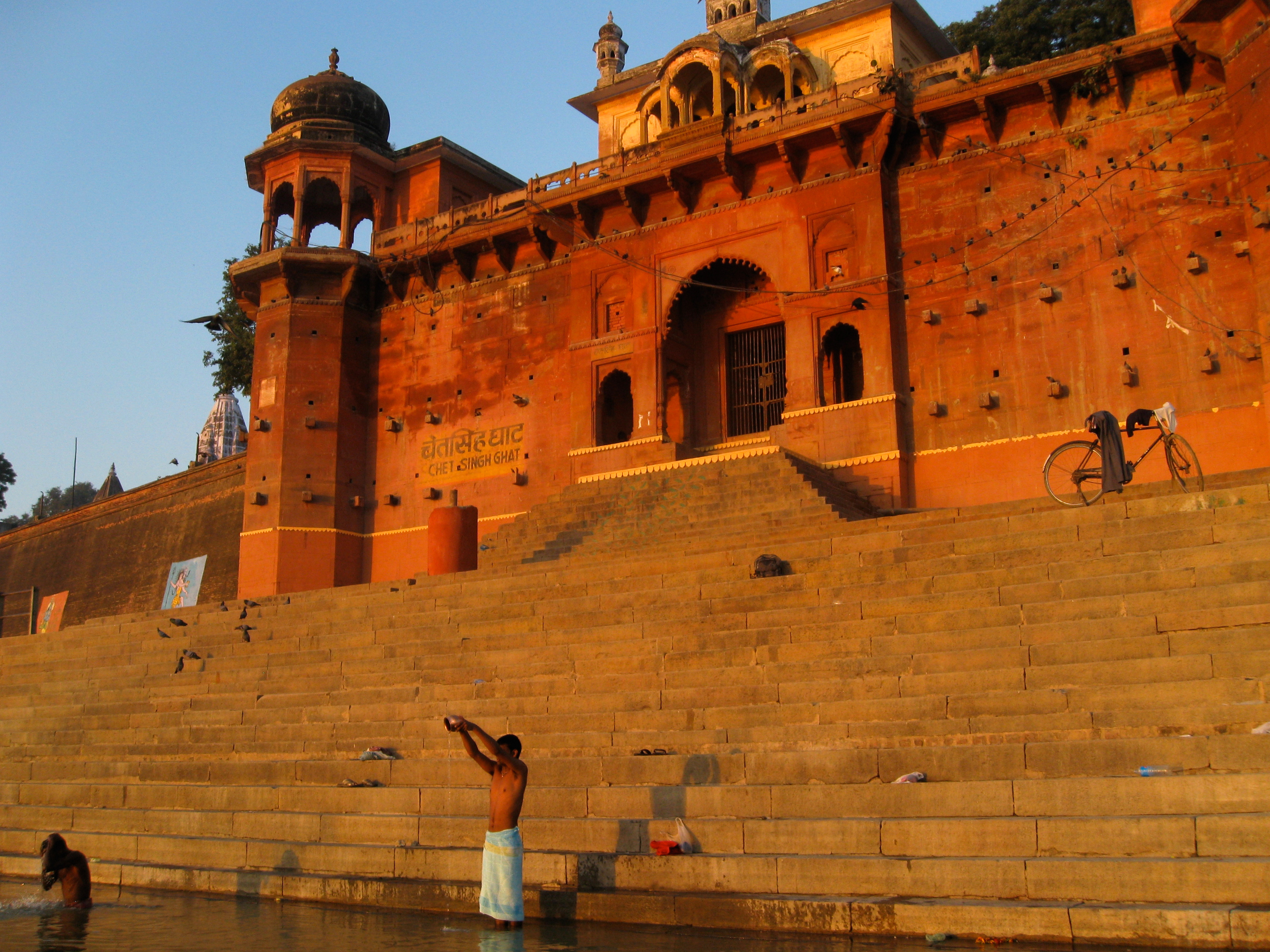
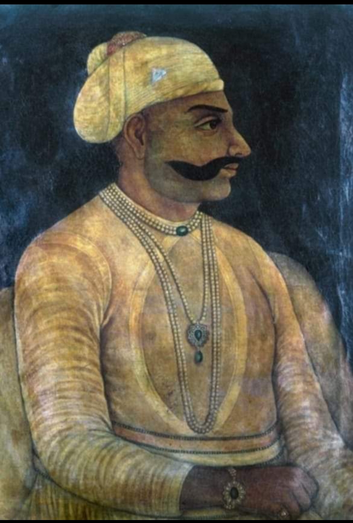
Rafa'at wa Awal-i-Martabat Maharaja Shri Chet Singh Sahib Bahadur (died 29 March 1810), commonly known as Raja Chet Singh, a Bhumihar king from the Narayan dynasty, was the 3rd ruler of Benares State, Kingdom of Benaras in northern India. Chet Singh succeeded his father, Maharaja Balwant Singh of Benares, Maharaja Balwant Singh, to the throne as the next Raja of Benares in 1770. Although the Nawab of Awadh still wished to hold total suzerainty over the control of Beneras, the British authorities encouraged him to recognise Chet Singh as King in 1773. Two years later, the Nawab, by now fed up with British interference, transferred the domain to the East India Company under control of the Governor-General of India, Governor-General of Bengal, Warren Hastings. Under the new British terms, Chet Singh was forced to contribute cavalry and maintenance grants for the company's sepoy battalions. The Raja refused to do this and he began to secretly correspond with enemies of the Company in ... [...More Info...] [...Related Items...] OR: [Wikipedia] [Google] [Baidu] |
Ballia District
Ballia district is one of the districts of Uttar Pradesh, India. Ballia district is a part of Azamgarh division situated in the east of Uttar Pradesh. The main economic activity is agriculture. City is the district headquarters and commercial market of this district. It is the birthplace of former prime minister of India Chandra Shekhar There are six tehsils in this district: Ballia, Bansdih, Rasra, Bairia, Sikandarpur and Belthara. Rasra is the second major commercial area of the district, having a government sugar mill and a cotton weaving industry. Though Ballia's core occupation is agriculture there are some additional small industries. Maniar is known for its bindi industry and is a major supplier. History Ballia district was established in 1879 out of Ghazipur district along with some parts of Azamgarh district. Before being separated, Ballia tehsil had formed a subdivision of Ghazipur district, comprising the parganas of Ballia, Doaba, and Kharid. In addition ... [...More Info...] [...Related Items...] OR: [Wikipedia] [Google] [Baidu] |
Imperial Gazetteer Of India
''The Imperial Gazetteer of India'' was a gazetteer of the British Indian Empire, and is now a historical reference work. It was first published in 1881. Sir William Wilson Hunter made the original plans of the book, starting in 1869. . ''dutchinkerala.com''. Retrieved 29 August 2021. The 1908, 1909 and 1931 "New Editions" have four encyclopedic volumes covering the geography, history, economics, and administration of India; 20 volumes of the alphabetically arranged gazetteer, listing places' names and providing statistics and summary information; and one volume each comprising the index and atlas. The New Editions were all published by the |
Balwant Singh Of Benares
Balwant Singh Sahib Bahadur, also known as Maharaja Balwant Singh (1711–1770), was the ruler of Benares State in northern India. Balwant Singh came from the Dynasty of Gautam Narayan dynasty. He succeeded his father as Raja of Kaswar and Maharaja of Benares in 1738. Leading a much more martial life, he built a fort and established a capital at Gangapur, but later moved to Ramnagar. He expelled Nawab Fazl Ali Khan from present-day Ghazipur and Ballia districts, and added the area to his domains. In 1751, he expelled the representative of the Nawab of Awadh in an attempt to carve out a principality at Benares, he had defeated the forces of Nawab during a fierce direct fight with the help of large numbers of artillery guns, cavalry and traditional army of strong Bhumihar clan when the Nawab invaded his domain in March 1752; He continued his guerrilla fight and ultimately the Nawab stooped to accept his terms and acquire more area than earlier holding. Resultantly a settlement ... [...More Info...] [...Related Items...] OR: [Wikipedia] [Google] [Baidu] |


