|
Uyghur People
The Uyghurs,. alternatively spelled Uighurs, Uygurs or Uigurs, are a Turkic ethnic group originating from and culturally affiliated with the general region of Central Asia and East Asia. The Uyghurs are recognized as the titular nationality of the Xinjiang Uyghur Autonomous Region in Northwest China. They are one of China's 55 officially recognized ethnic minorities. The Uyghurs have traditionally inhabited a series of oases scattered across the Taklamakan Desert within the Tarim Basin. These oases have historically existed as independent states or were controlled by many civilizations including China, the Mongols, the Tibetans, and various Turkic polities. The Uyghurs gradually started to become Islamized in the 10th century, and most Uyghurs identified as Muslims by the 16th century. Islam has since played an important role in Uyghur culture and identity. An estimated 80% of Xinjiang's Uyghurs still live in the Tarim Basin. The rest of Xinjiang's Uyghurs mostly live i ... [...More Info...] [...Related Items...] OR: [Wikipedia] [Google] [Baidu] |
Kashgar
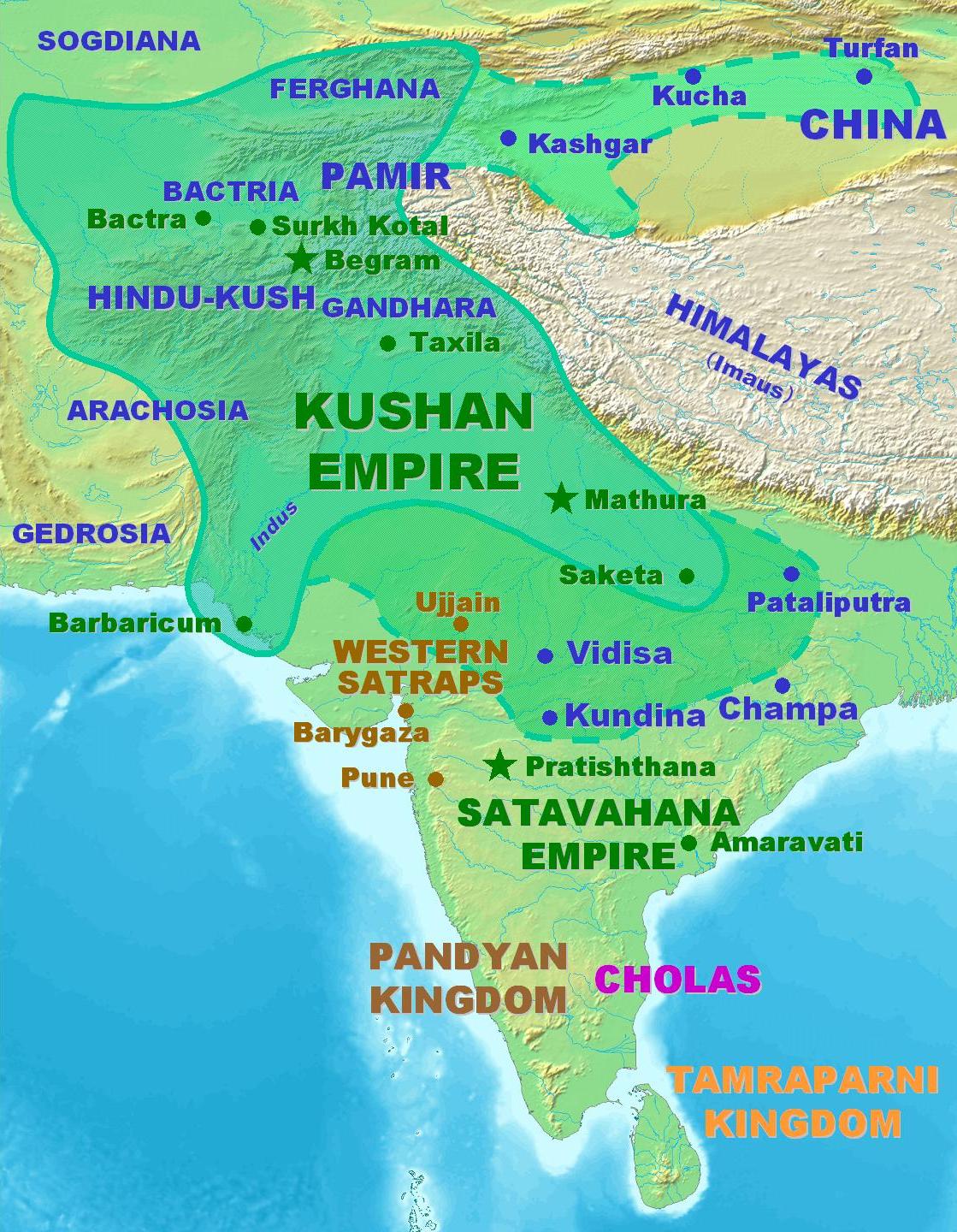
Kashgar () or Kashi ( zh, c=喀什) is a city in the Tarim Basin region of southern Xinjiang, China. It is one of the westernmost cities of China, located near the country's border with Kyrgyzstan and Tajikistan. For over 2,000 years, Kashgar was a strategically important oasis on the Silk Road between China, the Middle East, and Europe. It is one of the oldest continuously inhabited cities in the world and has a population of 711,300 people (). Kashgar's urban area covers , although its administrative area extends over . At the convergence point of widely varying cultures and empires, Kashgar has been under the rule of the Chinese, Turkic, Mongol and Tibetan empires. The city has also been the site of a number of battles between various groups of people on the steppes. Now administered as a county-level city, Kashgar is the administrative centre of Kashgar Prefecture, which has an area of and a population of approximately 4 million . Kashgar was declared a Special Economic ... [...More Info...] [...Related Items...] OR: [Wikipedia] [Google] [Baidu] |
East Asia
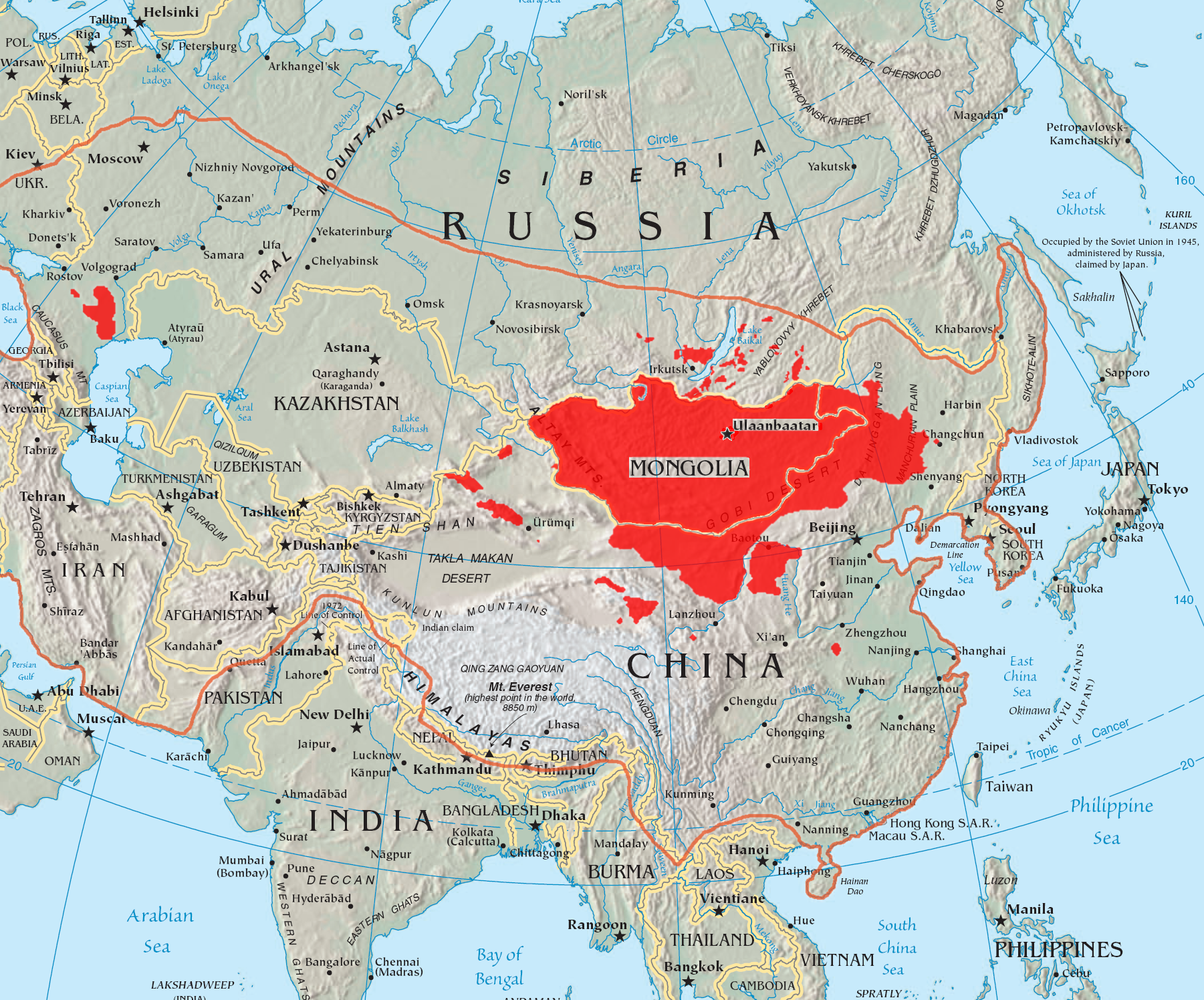
East Asia is a geocultural region of Asia. It includes China, Japan, Mongolia, North Korea, South Korea, and Taiwan, plus two special administrative regions of China, Hong Kong and Macau. The economies of Economy of China, China, Economy of Japan, Japan, Economy of South Korea, South Korea, and Economy of Taiwan, Taiwan are among the world's largest and most prosperous. East Asia borders North Asia to the north, Southeast Asia to the south, South Asia to the southwest, and Central Asia to the west. To its east is the Pacific Ocean. East Asia, especially History of China, Chinese civilization, is regarded as one of the earliest Cradle of civilization#China, cradles of civilization. Other ancient civilizations in East Asia that still exist as independent countries in the present day include the History of Japan, Japanese, History of Korea, Korean, and History of Mongolia, Mongolian civilizations. Various other civilizations existed as independent polities in East Asia in the past ... [...More Info...] [...Related Items...] OR: [Wikipedia] [Google] [Baidu] |
Qaramay
Karamay (also spelled Karamai) is a prefecture-level city in the north of the Xinjiang Uyghur Autonomous Region, People's Republic of China. It is surrounded on all sides by Tacheng Prefecture. The name of the city comes from the Uyghur language and means "black oil", referring to the oil fields near the city. Karamay was the site of one of the worst disasters in modern Chinese history, the 1994 Karamay fire, when 324 people, including 288 school children, lost their lives in a cinema fire on 8 December 1994. History Subdivisions Karamay City has jurisdiction over four districts ( zh, s=区, p=qū, labels=no). They are not contiguous as Dushanzi District is located south of the Lanxin Railway and forms an exclave, separated from the rest of Karamay City by Kuytun City. Together with Kuytun City, Karamay City forms an enclave surrounded on all sides by Tacheng Prefecture. Geography Karamay is located in the northwest of the Dzungarian basin, with an average elevation of ... [...More Info...] [...Related Items...] OR: [Wikipedia] [Google] [Baidu] |
Ghulja
YiningThe official spelling according to ( zh, s=伊宁), also known as Ghulja () or Kulja ( Kazakh: ), is a county-level city in northwestern Xinjiang, China. It is the administrative seat and largest city of Ili Kazakh Autonomous Prefecture. Yining is the modern successor to the nearby ruined city of Almaliq, Huocheng County, and is the third largest city in Xinjiang after Ürümqi and Korla. Area and population The city of Yining is a county-level administrative unit located along Ili River. As of 2015, it has an estimated population of 542,507, with a total land area of . It is the most populous city in the Ili Kazakh Autonomous Prefecture. The land area and population of the City of Yining saw an increase in 2003; the increase resulted from the transfer of two villages with some of land from the adjacent Yining County, which is a separate administrative unit from the city. Yining's population is primarily Uyghur, Han, Hui, and Kazakh, along with smaller numbe ... [...More Info...] [...Related Items...] OR: [Wikipedia] [Google] [Baidu] |
Tibetan Empire
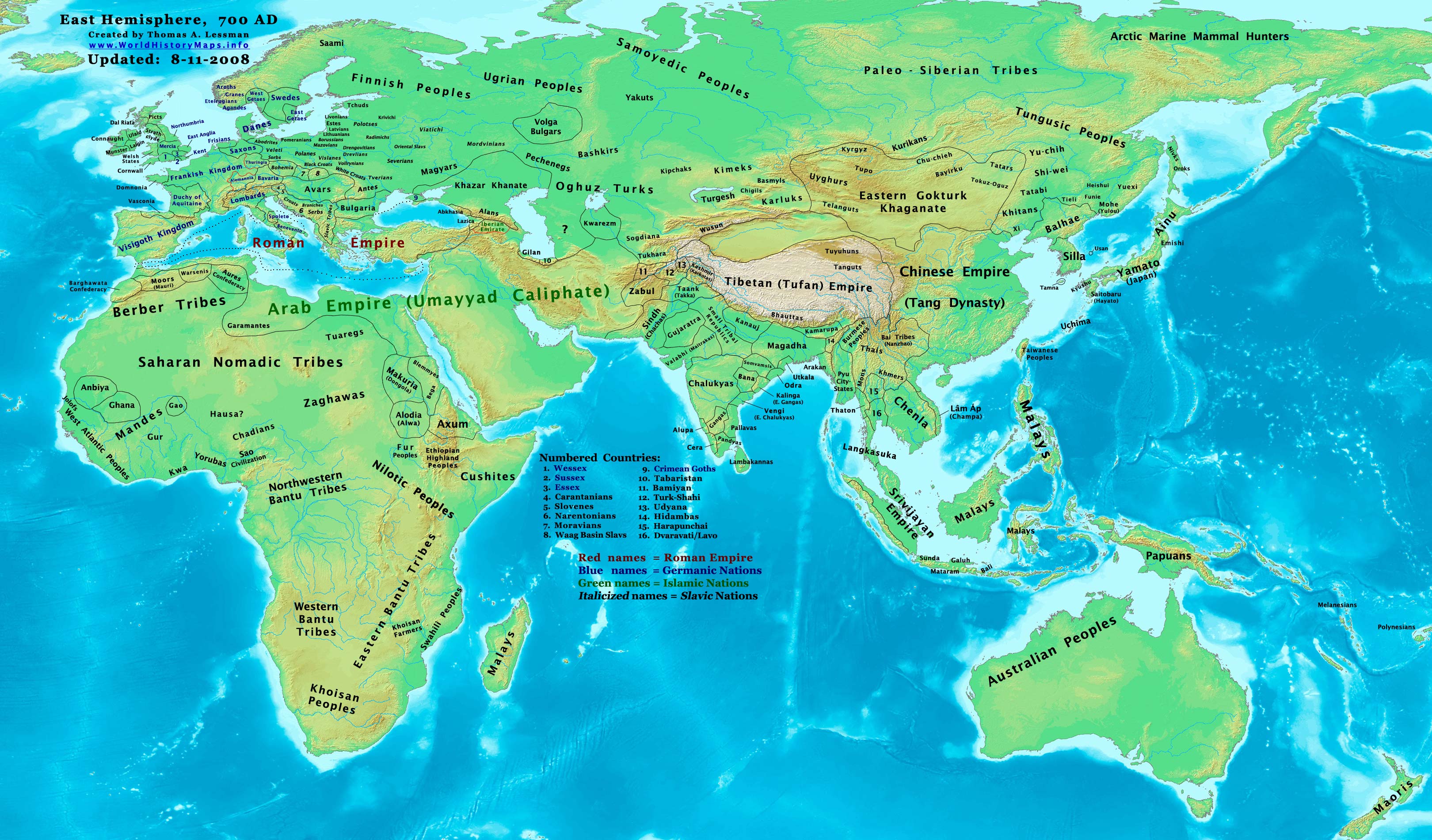
The Tibetan Empire (,) was an empire centered on the Tibetan Plateau, formed as a result of expansion under the Yarlung dynasty heralded by its 33rd king, Songtsen Gampo, in the 7th century. It expanded further under the 38th king, Trisong Detsen, and reached its greatest extent under the 40th king, Ralpacan, Ralpachen, stretching east to Chang'an, west beyond modern Afghanistan, south into modern India and the Bay of Bengal. The Yarlung dynasty was founded in 127 BC in the Yarlung Valley along the Yarlung River, south of Lhasa. The Yarlung capital was moved in the 7th century from the palace Yumbulingka to Lhasa by the 33rd king Songtsen Gampo, and into the Red Fort during the imperial period which continued to the 9th century. The beginning of the imperial period is marked in the reign of the 33rd king of the Yarlung dynasty, Songtsen Gampo. The power of Tibet's military empire gradually increased over a diverse terrain. During the reign of Trisong Detsen, the empire became ... [...More Info...] [...Related Items...] OR: [Wikipedia] [Google] [Baidu] |
Mongol Empire
The Mongol Empire was the List of largest empires, largest contiguous empire in human history, history. Originating in present-day Mongolia in East Asia, the Mongol Empire at its height stretched from the Sea of Japan to parts of Eastern Europe, extending northward into parts of the Arctic; eastward and southward into parts of the Indian subcontinent, mounting invasions of Southeast Asia, and conquering the Iranian plateau; and reaching westward as far as the Levant and the Carpathian Mountains. The Mongol Empire emerged from the unification of several nomad, nomadic tribes in the Mongol heartland under the leadership of Temüjin, known by the title of Genghis Khan (–1227), whom a council proclaimed as the ruler of all Mongols in 1206. The empire grew rapidly under his rule and that of his descendants, who sent out Mongol invasions, invading armies in every direction. The vast transcontinental empire connected the Eastern world, East with the Western world, West, and the Pac ... [...More Info...] [...Related Items...] OR: [Wikipedia] [Google] [Baidu] |
History Of China
The history of China spans several millennia across a wide geographical area. Each region now considered part of the Chinese world has experienced periods of unity, fracture, prosperity, and strife. Chinese civilization first emerged in the Yellow River valley, which along with the Yangtze basin constitutes the geographic core of the Chinese cultural sphere. China maintains a rich diversity of ethnic and linguistic people groups. The traditional lens for viewing Chinese history is the dynastic cycle: imperial dynasties rise and fall, and are ascribed certain achievements. This lens also tends to assume Chinese civilization can be traced as an unbroken thread many thousands of years into the past, making it one of the cradles of civilization. At various times, states representative of a dominant Chinese culture have directly controlled areas stretching as far west as the Tian Shan, the Tarim Basin, and the Himalayas, as far north as the Sayan Mountains, and as far south ... [...More Info...] [...Related Items...] OR: [Wikipedia] [Google] [Baidu] |
Civilization
A civilization (also spelled civilisation in British English) is any complex society characterized by the development of state (polity), the state, social stratification, urban area, urbanization, and symbolic systems of communication beyond natural language, signed or spoken languages (namely, writing systems). Civilizations are organized around densely-populated settlements, divided into more or less rigid hierarchy, hierarchical social classes of division of labour, often with a ruling elite and a subordinate urban and rural populations, which engage in intensive agriculture, mining, small-scale manufacture and trade. Civilization concentrates power, extending human control over the rest of nature, including over other human beings. Civilizations are characterized by elaborate agriculture, architecture, infrastructure, Innovation, technological advancement, currency, taxation, regulation, and specialization of labour. Historically, a civilization has often been understo ... [...More Info...] [...Related Items...] OR: [Wikipedia] [Google] [Baidu] |
Tarim Basin
The Tarim Basin is an endorheic basin in Xinjiang, Northwestern China occupying an area of about and one of the largest basins in Northwest China.Chen, Yaning, et al. "Regional climate change and its effects on river runoff in the Tarim Basin, China." Hydrological Processes 20.10 (2006): 2207–2216.online 426 KB) Located in China's Xinjiang region, it is sometimes used synonymously to refer to the southern half of the province, that is, Southern Xinjiang or Nanjiang (), as opposed to the northern half of the province known as Dzungaria or Beijiang. Its northern boundary is the Tian Shan mountain range and its southern boundary is the Kunlun Mountains on the edge of the Tibetan Plateau. The Taklamakan Desert dominates much of the basin. The historical Uyghur name for the Tarim Basin is Altishahr (Uyghur language, Traditional Uyghur: , ), which means 'six cities' in Uyghur language, Uyghur. The region was also called ''Little Bukhara'' or ''Little Bukharia''. Geography and relation ... [...More Info...] [...Related Items...] OR: [Wikipedia] [Google] [Baidu] |
Taklamakan Desert
The Taklamakan Desert ( ) is a desert in northwest China's Xinjiang region. Located inside the Tarim Basin in Southern Xinjiang, it is bounded by the Kunlun Mountains to the south, the Pamir Mountains to the west, the Tian Shan range to the north, and the Gobi Desert to the east. Etymology While most researchers agree on being the Persian word for "place", etymology of ''Takla'' is less clear. The word may be a Uyghur borrowing of the Persian , "to leave alone/out/behind, relinquish, abandon" + ''makan''. Another plausible explanation suggests it is derived from Turki ''taqlar makan'', describing "the place of ruins". Chinese scholars Wang Guowei and Huang Wenbi linked the name to the Tocharians, a historical people of the Tarim Basin, making the meaning of "Taklamakan" similar to "Tocharistan". According to Uyghur researcher Turdi Mettursun Kara, the name Taklamakan comes from the expression Terk-i Mekan. The name is first mentioned as Terk-i Makan (ترك مكان ... [...More Info...] [...Related Items...] OR: [Wikipedia] [Google] [Baidu] |
Oasis
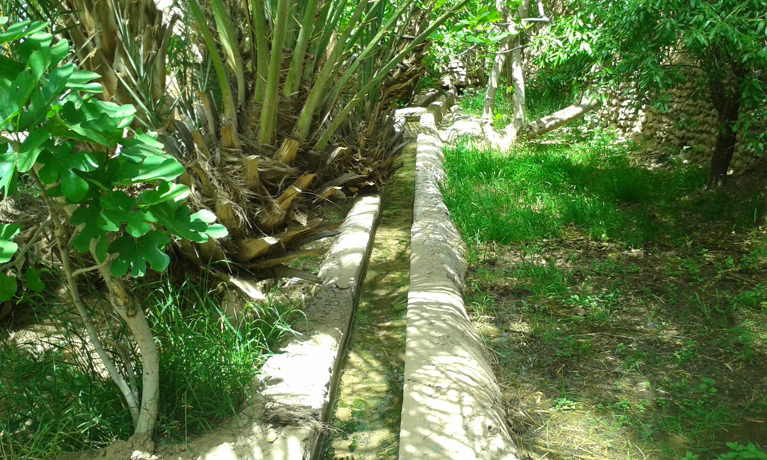
In ecology, an oasis (; : oases ) is a fertile area of a desert or semi-desert environmentBattesti, Vincent (2005) Jardins au désert: Évolution des pratiques et savoirs oasiens: Jérid tunisien. Paris: IRD éditions. . that sustains plant life and provides habitat for animals. Surface water may be present, or water may only be accessible from wells or underground channels created by humans. In geography, an oasis may be a current or past rest stop on a transportation route, or less-than-verdant location that nonetheless provides access to underground water through deep wells created and maintained by humans. Although they depend on a natural condition, such as the presence of water that may be stored in reservoirs and us ... [...More Info...] [...Related Items...] OR: [Wikipedia] [Google] [Baidu] |
The Independent
''The Independent'' is a British online newspaper. It was established in 1986 as a national morning printed paper. Nicknamed the ''Indy'', it began as a broadsheet and changed to tabloid format in 2003. The last printed edition was published on Saturday 26 March 2016, leaving only the online edition. The daily edition was named National Newspaper of the Year at the 2004 British Press Awards. ''The Independent'' won the Brand of the Year Award in The Drum Awards for Online Media 2023. History 1980s Launched in 1986, the first issue of ''The Independent'' was published on 7 October in broadsheet format.Dennis Griffiths (ed.) ''The Encyclopedia of the British Press, 1422–1992'', London & Basingstoke: Macmillan, 1992, p. 330. It was produced by Newspaper Publishing plc and created by Andreas Whittam Smith, Stephen Glover and Matthew Symonds. All three partners were former journalists at ''The Daily Telegraph'' who had left the paper towards the end of Lord Hartwell' ... [...More Info...] [...Related Items...] OR: [Wikipedia] [Google] [Baidu] |

