|
Upper Cross
Uppercross () is a historical barony in southern County Dublin, Ireland. Baronies were mainly cadastral rather than administrative units. They acquired modest local taxation and spending functions in the 19th century before being superseded by the Local Government (Ireland) Act 1898. History The placename derives from "Crosslands" (), a term applied to lands that were owned by the Catholic Church. County Dublin's crosslands were divided into two portions, designated Nethercross and Upper Cross. The baronies do not precisely match the old crossland boundaries; for example, Taney was part of the southern crosslands but is now part of Rathdown. The Uí Ceallaig Cualann ruled Uppercross prior to the Norman invasion. They were cousins to the Uí Máil, both claiming descent from Cellach Cualann (). Geography Uppercross is in the south of the county, south of the River Liffey, and containing much of the valley of the River Dodder. It is bound to the south by the County Wicklo ... [...More Info...] [...Related Items...] OR: [Wikipedia] [Google] [Baidu] |
Irish Language
Irish (Standard Irish: ), also known as Irish Gaelic or simply Gaelic ( ), is a Celtic language of the Indo-European language family. It is a member of the Goidelic languages of the Insular Celtic sub branch of the family and is indigenous language, indigenous to the island of Ireland. It was the majority of the population's first language until the 19th century, when English (language), English gradually became dominant, particularly in the last decades of the century, in what is sometimes characterised as a result of linguistic imperialism. Today, Irish is still commonly spoken as a first language in Ireland's Gaeltacht regions, in which 2% of Ireland's population lived in 2022. The total number of people (aged 3 and over) in Ireland who declared they could speak Irish in April 2022 was 1,873,997, representing 40% of respondents, but of these, 472,887 said they never spoke it and a further 551,993 said they only spoke it within the education system. Linguistic analyses o ... [...More Info...] [...Related Items...] OR: [Wikipedia] [Google] [Baidu] |
Taney Parish
The Parish of Taney () is a populous parish in the Church of Ireland, located in the Dundrum, Dublin, Dundrum area of Dublin. Taney is also a Civil parishes in Ireland, civil parish of the same name, in the Dublin (barony), barony of Dublin and the Rathdown (County Dublin barony), barony of Rathdown. History Early history Taney's origins go back to the early Irish saint Nathi of Cúl Fothirbe, Nathi, who in the 6th century established a centre for monastic life. This centre may have been on what is now the site of St. Nahi's Church in Dundrum. The derivation of the parish name, ''Taney'', suggests that it derives from the Irish ''Teach Nahi'' or ''Nahi's house''. Another possible source is ''Tamhnach'', meaning a ''green field'' or ''arable spot''. While there are no details available, there seems little doubt that religious worship was taking place here for some considerable time before the Hiberno-Norman, Anglo-Norman Invasion of 1169–1171, which made use of a papal bull a ... [...More Info...] [...Related Items...] OR: [Wikipedia] [Google] [Baidu] |
Clondalkin
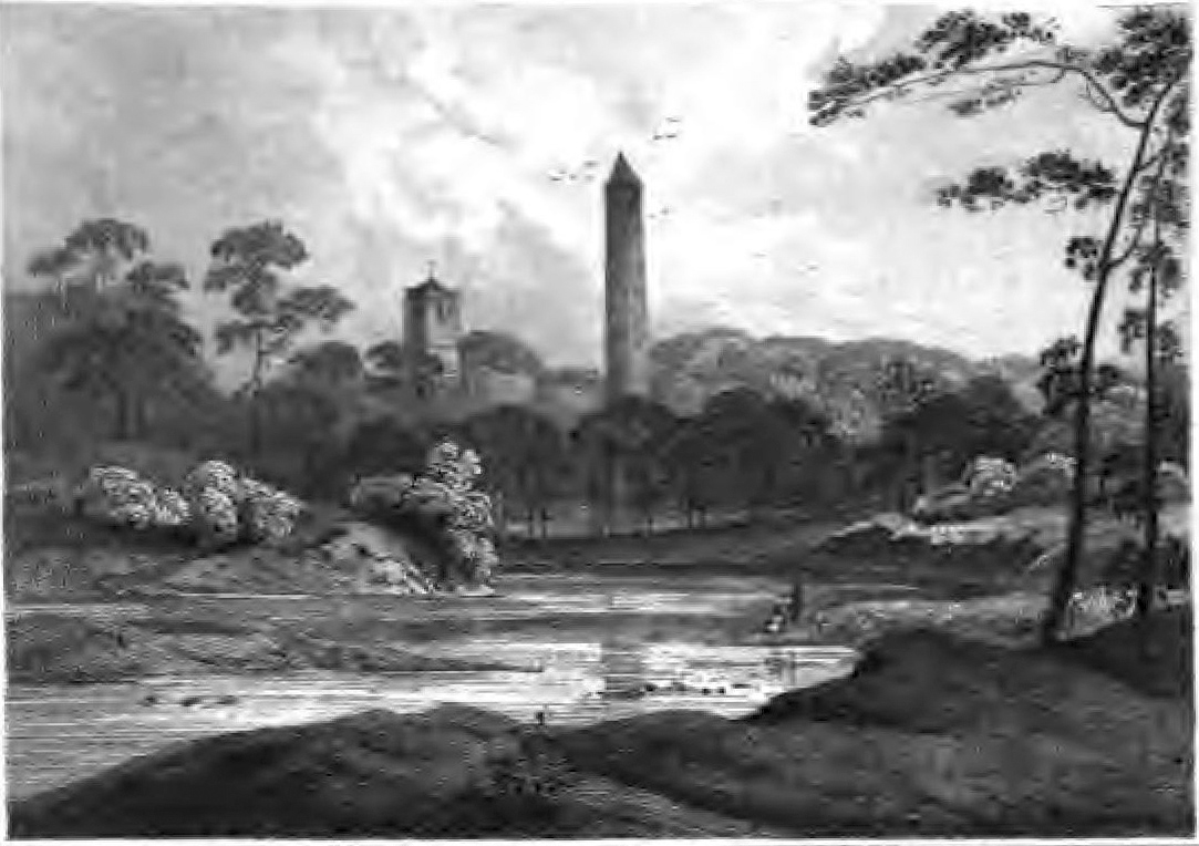
Clondalkin () is a suburban village in County Dublin, Ireland, approximately west of Dublin city centre. It is within the administrative jurisdiction of South Dublin. Clondalkin is also the name of a civil parish and a townland in the ancient barony of Uppercross, and is also used in relation to some local religious parishes. The population of all electoral divisions labelled as Clondalkin was 47,938 as of the 2022 census. History Prehistory Neolithic tribes first settled in the area around 7,600 years ago, taking advantage of the site's location on the River Camac, overlooking the River Liffey and the inland pass between the mountains and the river. Evidence of the presence of the Cualann Celtic people (an early tribe possibly the Cauci on Ptolemy's world map) can be found in various mounds and raths. Christian era Clondalkin is believed to have been founded by Saint Cronan Mochua as a monastic settlement on the River Camac over 1,400 years ago (possibly late 6th or ear ... [...More Info...] [...Related Items...] OR: [Wikipedia] [Google] [Baidu] |
Brittas, County Dublin
Brittas (, meaning "wooden parapet") is a rural village in County Dublin, just north of the border with County Wicklow on the N81 road (Ireland), N81 road. It is in the Local government in the Republic of Ireland, local government area of South Dublin. The village is notable for five Acer pseudoplatanus, sycamore tree-stump carvings by the side of the road depicting Irish mythology, Irish mythological figures carved in 2018. The River Camac originates close to Brittas before descending through the Slade of Saggart to Saggart and beyond. Location Brittas is in the foothills of the Dublin Mountains, 18 km south-west of Dublin city centre (21 km by road). Representation Brittas is in the Dáil constituency of Dublin Mid-West (Dáil constituency), Dublin Mid-West, and the local electoral area of Clondalkin for elections to South Dublin County Council. Amenities In the summer of 1876, with almost 30 families facing the future without a local education programme, Fr Micha ... [...More Info...] [...Related Items...] OR: [Wikipedia] [Google] [Baidu] |
Bluebell, Dublin
Bluebell () is a small suburb of Dublin, Republic of Ireland, Ireland. Situated approximately 6 kilometres south-west of the city centre, on the Camac, a River Liffey, Liffey tributary, the suburb borders the Grand Canal and Ballyfermot to the west, Walkinstown & Drimnagh to the east, Inchicore to the north, and Clondalkin to the south. Bluebell is in the Dublin South-Central (Dáil constituency), Dublin South-Central Dáil constituency and is administered by Dublin City Council at the local government level. Its postal code is List of Dublin postal districts#Dublin 12 (D12), Dublin 12. History There is an early reference concerning Bluebell cemetery and church ruins, dated 1254, when the people who lived here were most likely part of the Barnewall's Drimnagh Castle estate and home farm. Bluebell was part of the Civil Parish of Clondalkin. Until the 1950s, Bluebell was mainly a market garden and farming community on the outskirts of the city. It was developed for residential h ... [...More Info...] [...Related Items...] OR: [Wikipedia] [Google] [Baidu] |
Ballyfermot
Ballyfermot () is a suburb of Dublin, Republic of Ireland, Ireland. It is located west of the city centre, south of Phoenix Park. It is bordered by Chapelizod on the north, by Bluebell, Dublin, Bluebell on the south, by Inchicore on the east, and by Palmerstown and Clondalkin on the west. The River Liffey lies to the north, and the Grand Canal of Ireland, Grand Canal, now a recreational waterway, lies to the south of Ballyfermot. Ballyfermont lies within the postal district Dublin 10. Cherry Orchard, Dublin, Cherry Orchard, which is also a suburb, is sometimes considered to be within Ballyfermot. Ballyfermot is also a civil parishes in Ireland, civil parish in the barony (Ireland), historical barony of Uppercross. Toponymy The Place names in Ireland, place name ''Ballyfermot''—rendered in Irish language, Irish ''Baile Formaid'' and sometimes ''Baile Thormaid''—is derived from the Middle Irish ''baile'' ("farmstead"), and the Old Norse personal name ''Þormundr''. It is al ... [...More Info...] [...Related Items...] OR: [Wikipedia] [Google] [Baidu] |
Kippure
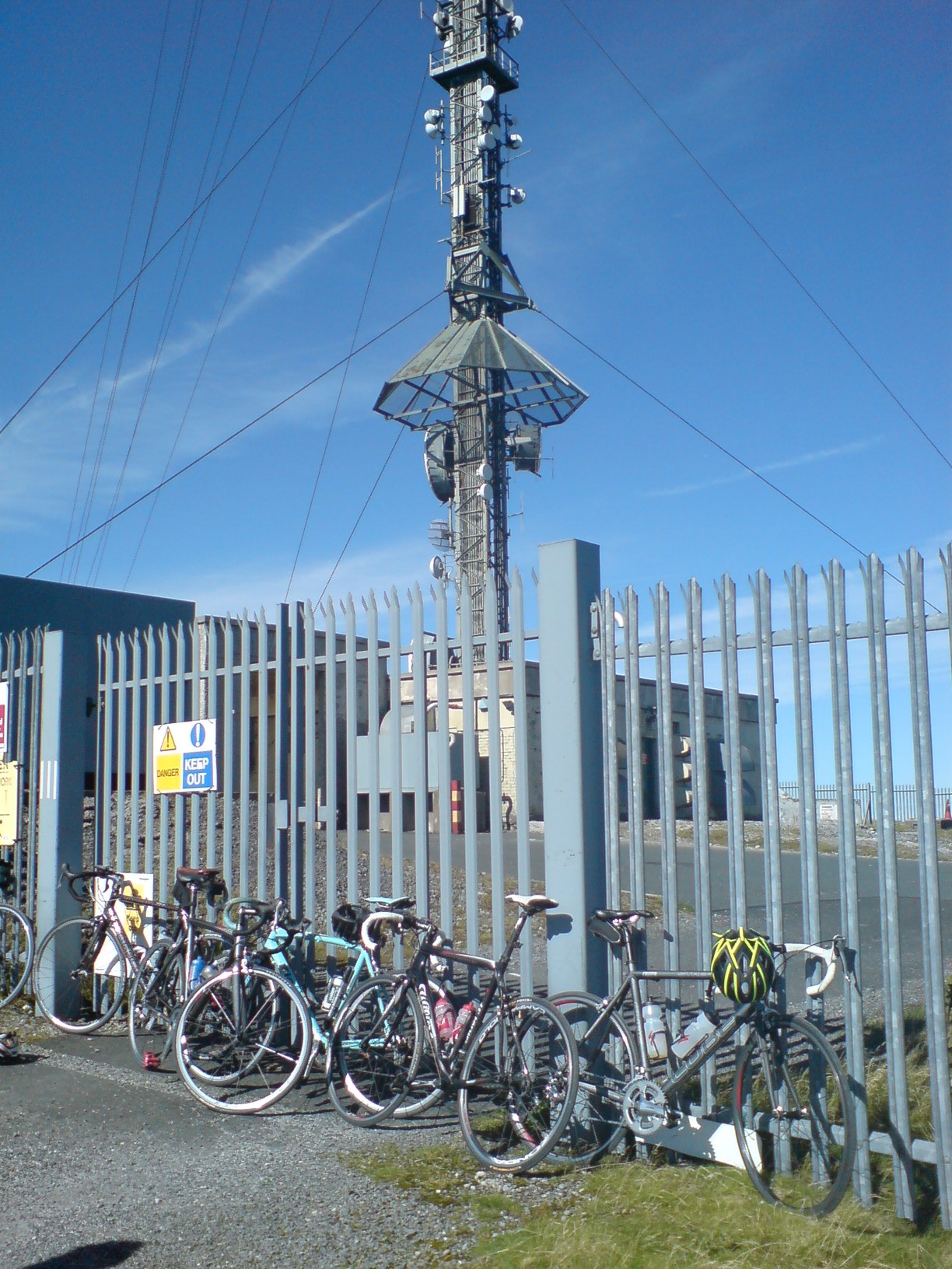
Kippure (; ) at , is the 56th-highest peak in Ireland on the Lists of mountains in Ireland#Arderins, Arderin scale, and the 72nd-highest peak on the Lists of mountains in Ireland#Vandeleur-Lynams, Vandeleur-Lynam scale.Mountainviews, (September 2013), "A Guide to Ireland's Mountain Summits: The Vandeleur-Lynams & the Arderins", Collins Books, Cork, Kippure is situated in the far northern sector of the Wicklow Mountains, where it lies on the border of counties County Dublin, Dublin and County Wicklow, Wicklow in Ireland. Kippure is the List of Irish counties by highest point, County Top for Dublin, and its height and positioning over Dublin, Dublin city have made its summit an important site for Radio masts and towers, transmission masts, which are highly visible from a distance. Kippure's slopes feed into the Liffey Head Bog which forms the source of the River Liffey. The summit can be easily accessed from the east via a path that lies off the R115 road (Ireland), R115 (also ... [...More Info...] [...Related Items...] OR: [Wikipedia] [Google] [Baidu] |
County Wicklow
County Wicklow ( ; ) is a Counties of Ireland, county in Republic of Ireland, Ireland. The last of the traditional 32 counties, having been formed as late as 1606 in Ireland, 1606, it is part of the Eastern and Midland Region and the Provinces of Ireland, province of Leinster. It is bordered by the Irish Sea to the east and the counties of County Wexford, Wexford to the south, County Carlow, Carlow to the southwest, County Kildare, Kildare to the west, and South Dublin and Dún Laoghaire–Rathdown to the north. Wicklow is named after its county town of Wicklow, which derives from the name (Old Norse for "Vikings' Meadow"). Wicklow County Council is the Local government in the Republic of Ireland, local authority for the county, which had a population of 155,258 at the 2022 census of Ireland, 2022 census. Colloquially known as the "Garden of Ireland" for its scenerywhich includes extensive woodlands, nature trails, beaches, and ancient ruins while allowing for a multitude of w ... [...More Info...] [...Related Items...] OR: [Wikipedia] [Google] [Baidu] |
River Dodder
The River Dodder () is one of the three main rivers in Dublin, Ireland, the others being the River Liffey, Liffey, of which the Dodder is the largest tributary, and the River Tolka, Tolka. Course and system The Dodder rises on the northern slopes of Kippure in the Wicklow Mountains and is formed from several streams. The headwaters flow from Kippure Ridge, and include, and are often mapped solely as, Tromanallison (Allison's Brook), which is then joined by Mareen's Brook, including the Cataract of the Brown Rowan, and then the combined flow meeting the Cot and Slade Brooks. In the river's valley at Glenasmole are the two Bohernabreena Reservoirs, a major part of the Dublin water supply system. The Dodder is long. It passes the Dublin suburbs of Tallaght and then Firhouse, travels by Templeogue, passes Rathfarnham, Rathgar, Milltown, Dublin, Milltown, Clonskeagh, and Donnybrook, Dublin, Donnybrook, and goes through Ballsbridge and past Sandymount, before entering the River L ... [...More Info...] [...Related Items...] OR: [Wikipedia] [Google] [Baidu] |
River Liffey
The River Liffey (Irish language, Irish: ''An Life'', historically ''An Ruirthe(a)ch'') is a river in eastern Ireland that ultimately flows through the centre of Dublin to its mouth within Dublin Bay. Its major Tributary, tributaries include the River Dodder, the River Poddle and the River Camac. The river supplies much of Dublin's water and supports a range of recreational activities. Name While Ptolemy's ''Geography (Ptolemy), Geography'' (2nd century AD) describes a river which he labels Οβοκα (''Oboka''), this is not the Liffey: ultimately it leads to the name of the River Avoca in County Wicklow. According to "Place Names from our Older Literature - IV." by Boswell, C. S. (1904 Connradh na Gaedhilge) the river takes its name from Magh Life, i.e. the plain of Kildare through which the Life flows. This in turn takes its name from Life, daughter of Canann Curthach, who eloped with and married Deltbanna mac Druchta, cup-bearer to Conaire Mór High King of Ireland. Life ... [...More Info...] [...Related Items...] OR: [Wikipedia] [Google] [Baidu] |
Cellach Cualann
Cellach Cualann mac Gerthidi (died 715) was the last king of Leinster from the Uí Máil dynasty. Cellach's byname is derived from the land of ''Cualu'' which lay around Glendalough. Cellach's father was not king of Leinster; his second cousin Fiannamail mac Máele Tuile (died 680) was. Cellach succeeded his cousin as king of Uí Máil when Fiannamail was murdered by a servant named Fochsechán, probably on the orders of Fínsnechta Fledach. The kingship of Leinster passed to the Uí Dúnlainge in the person of Bran Mut mac Conaill who died in 693, to be followed as king by Cellach. Reign Immediately after the death of Bran Mut a battle between the Leinstermen and their western neighbours the kingdom of Osraige is recorded, but Cellach is not associated with this. Cellach was one of the guarantors of the Cáin Adomnáin (Law of Adomnán) in 697 promulgated at the Synod of Birr. In 704 he warred with his northern neighbours, the Uí Néill of Clann Cholmáin, led by Bodbch ... [...More Info...] [...Related Items...] OR: [Wikipedia] [Google] [Baidu] |


