|
Ulao Creek
Ulao Creek is a U.S. Geological Survey. National Hydrography Dataset high-resolution flowline dataThe National Map accessed May 19, 2011 tributary of the Milwaukee River in Ozaukee County, Wisconsin, United States. It begins in a swampy area south of Port Washington in the town of Grafton and flows south through Ulao. It roughly parallels Interstate 43 before crossing to the west of the freeway just south of Lakefield Road. The creek then flows to the southwest into Mequon, where it joins the Milwaukee River at Bonniwell Road. References External linksUlao Creek Partnership a group dedicated to preserving the creek*Behm, Don"Habitat help: Study aims to save critters' watershed homes" ''Milwaukee Journal Sentinel The ''Milwaukee Journal Sentinel'' is a daily morning broadsheet printed in Milwaukee, Wisconsin, where it is the primary newspaper. It is also the largest newspaper in the state of Wisconsin, where it is widely distributed. It is currently ...'', April 21, 2001 ... [...More Info...] [...Related Items...] OR: [Wikipedia] [Google] [Baidu] |
Milwaukee River
The Milwaukee River is a river in the state of Wisconsin. It is about long.U.S. Geological Survey. National Hydrography Dataset high-resolution flowline dataThe National Map, accessed May 19, 2011 Once a locus of industry, the river is now the center of a housing boom. New condos now crowd the downtown and harbor districts of Milwaukee attracting young professionals to the area. The river is also ribboned with parks as it winds through various neighborhoods. Kayaks and fishing boats share the river with party boats. An extensive Riverwalk featuring art displays, boat launches and restaurants lines its banks in downtown Milwaukee. Description The river begins in Fond du Lac County, Wisconsin and flows south past Grafton to downtown Milwaukee, where it empties into Lake Michigan. Cedar Creek, the Menomonee River and the Kinnickinnic River are the three main tributaries. Watershed The Milwaukee River watershed drains in southeastern Wisconsin, including parts of Dodge, Fo ... [...More Info...] [...Related Items...] OR: [Wikipedia] [Google] [Baidu] |
Ozaukee County, Wisconsin
Ozaukee County is a county in the U.S. state of Wisconsin. As of the 2020 census, the population was 91,503. Its county seat is Port Washington, making it one of three Wisconsin counties on Lake Michigan not to have a county seat with the same name. Ozaukee County is included in the Milwaukee– Waukesha–West Allis, WI Metropolitan Statistical Area. As of the 2000 Census, Ozaukee County had the second-lowest poverty rate of any county in the United States, at 2.6%. In terms of per capita income, it is the 25th-wealthiest county in the country. Bolstered by low crime rates and school districts with high graduation rates, ''Forbes'' magazine ranked Ozaukee County #2 on its list of "America's Best Places To Raise A Family" in June 2008. Toponymy "Ozaukee" comes from the Ojibwe name for the Sauk people. It probably means "people living at the mouth of a river." History Precolonial The Hilgen Spring Mound Site is one of the oldest-known sites of human habitation of Ozaukee Cou ... [...More Info...] [...Related Items...] OR: [Wikipedia] [Google] [Baidu] |
United States
The United States of America (U.S.A. or USA), commonly known as the United States (U.S. or US) or America, is a country primarily located in North America. It consists of 50 U.S. state, states, a Washington, D.C., federal district, five major unincorporated territories, nine United States Minor Outlying Islands, Minor Outlying Islands, and 326 Indian reservations. The United States is also in Compact of Free Association, free association with three Oceania, Pacific Island Sovereign state, sovereign states: the Federated States of Micronesia, the Marshall Islands, and the Palau, Republic of Palau. It is the world's List of countries and dependencies by area, third-largest country by both land and total area. It shares land borders Canada–United States border, with Canada to its north and Mexico–United States border, with Mexico to its south and has maritime borders with the Bahamas, Cuba, Russia, and other nations. With a population of over 333 million, it is the List of ... [...More Info...] [...Related Items...] OR: [Wikipedia] [Google] [Baidu] |
Port Washington, Wisconsin
Port Washington is the county seat of Ozaukee County in the U.S. state of Wisconsin. Located on Lake Michigan's western shore east of Interstate 43, the community is a suburb in the Milwaukee metropolitan area 27 miles north of the City of Milwaukee. The city's artificial harbor at the mouth of Sauk Creek was dredged in the 1870s and was a commercial port until the early 2000s. The population was 11,250 at the 2010 census. When French explorers arrived in the area in the 17th century, they found a Native American village at the mouth of Sauk Creek—the present location of historic downtown Port Washington. The United States Federal Government forcibly expelled the Native Americans in the 1830s, and the first settlers arrived in 1835, calling their settlement "Wisconsin City" before renaming it "Port Washington" in honor of President George Washington. In the late 1840s and early 1850s, the community was a candidate to be the Washington County seat. Disagreements between ... [...More Info...] [...Related Items...] OR: [Wikipedia] [Google] [Baidu] |
Grafton (town), Wisconsin
The Town of Grafton is a town located in Ozaukee County, Wisconsin, United States, and is in the Milwaukee metropolitan area. The town was created in 1846 and at the time of the 2020 Census had a population of 4,157. Grafton is located on the western shore of Lake Michigan. German and Irish immigrants first settled in Grafton in the 1840s. Their centers of settlement became the unincorporated communities of Lakefield and Ulao, as well as the Village of Grafton, which is partially located in the town. History The first Europeans to visit the area were the Jesuit missionaries Claude-Jean Allouez and Claude Bablon, who visited a Native American village on the Milwaukee River near the future site of Grafton around the year 1670. Timothy Wooden, who arrived in 1839 from the eastern United States, is considered Grafton's first permanent resident. The majority of the early residents were immigrants from Germany and Ireland. The Wisconsin territorial legislature officially created ... [...More Info...] [...Related Items...] OR: [Wikipedia] [Google] [Baidu] |
Ulao, Wisconsin
Ulao, Wisconsin ( ) is an unincorporated community in the Town of Grafton in Ozaukee County, Wisconsin, United States. It is located at the intersection of Ulao Road and the old Chicago and Northwestern railroad running from Milwaukee to Green Bay. Today, I-43 runs a few hundred feet to the west of the town. The Ulao Creek flows through the community. Toponymy There are several explanations of the community's name. Author Beatrice Krier claims that Ulao is a corruption of the Spanish word ''Ulloa'', which was probably chosen because of a local veteran named Weber, who had participated in the Siege of Veracruz in March 1847 during the Mexican–American War, when U.S. troops under the command of Winfield Scott surrounded and overran the castle of San Juan de Ulúa, which itself was named for the Spanish explorer Francisco de Ulloa, who had navigated the western coast of Mexico as part of the 1539 expedition of the conquistador Hernán Cortés. Other explanations claim ... [...More Info...] [...Related Items...] OR: [Wikipedia] [Google] [Baidu] |
Interstate 43
Interstate 43 (I-43) is a Interstate Highway located entirely within the US state of Wisconsin, connecting I-39/I-90 in Beloit with Milwaukee and I-41, U.S. Highway 41 (US 41) and US 141 in Green Bay. State Trunk Highway 32 (WIS 32) runs concurrently with I-43 in two sections and I-94, I-894, US 10, US 41, US 45, and WIS 57 overlap I-43 once each. There are no auxiliary or business routes connected to I-43, though an alternate route to direct traffic during road closures is signed along local and state highways from Milwaukee County north into Brown County. I-43 came about as a result of toll road proposals that included a Milwaukee to Superior corridor that included Hurley, Wausau, and Green Bay. Only the Milwaukee-to-Green Bay section was approved. The route was originally planned to follow an alignment about midway between US 41 and US 141 (the latter paralleled Lake Michigan at the time) along WIS 57. ... [...More Info...] [...Related Items...] OR: [Wikipedia] [Google] [Baidu] |
Mequon, Wisconsin
Mequon () is the largest city in Ozaukee County, in the U.S. state of Wisconsin, and the third-largest city in Wisconsin by land area. Located on Lake Michigan's western shore with significant commercial developments along Interstate 43, the community is a suburb in the Milwaukee metropolitan area. Despite being an incorporated city, approximately half of Mequon's land is undeveloped and agriculture plays a significant role in the local economy. At the time of the 2010 census the population was 23,132. When the first white settlers arrived in the 1830s, the Mequon area was inhabited by the Menominee, Potawatomi, and Sauk people. In the 1840s, German immigrants settled in the community, building farms and hydropowered mills along the Milwaukee River. Much of the community remained rural, while Thiensville developed as a market town along the local railway, providing services to the farmers. Thiensville incorporated as a village in 1910. Mequon remained rural in the early 20th cen ... [...More Info...] [...Related Items...] OR: [Wikipedia] [Google] [Baidu] |
Milwaukee Journal Sentinel
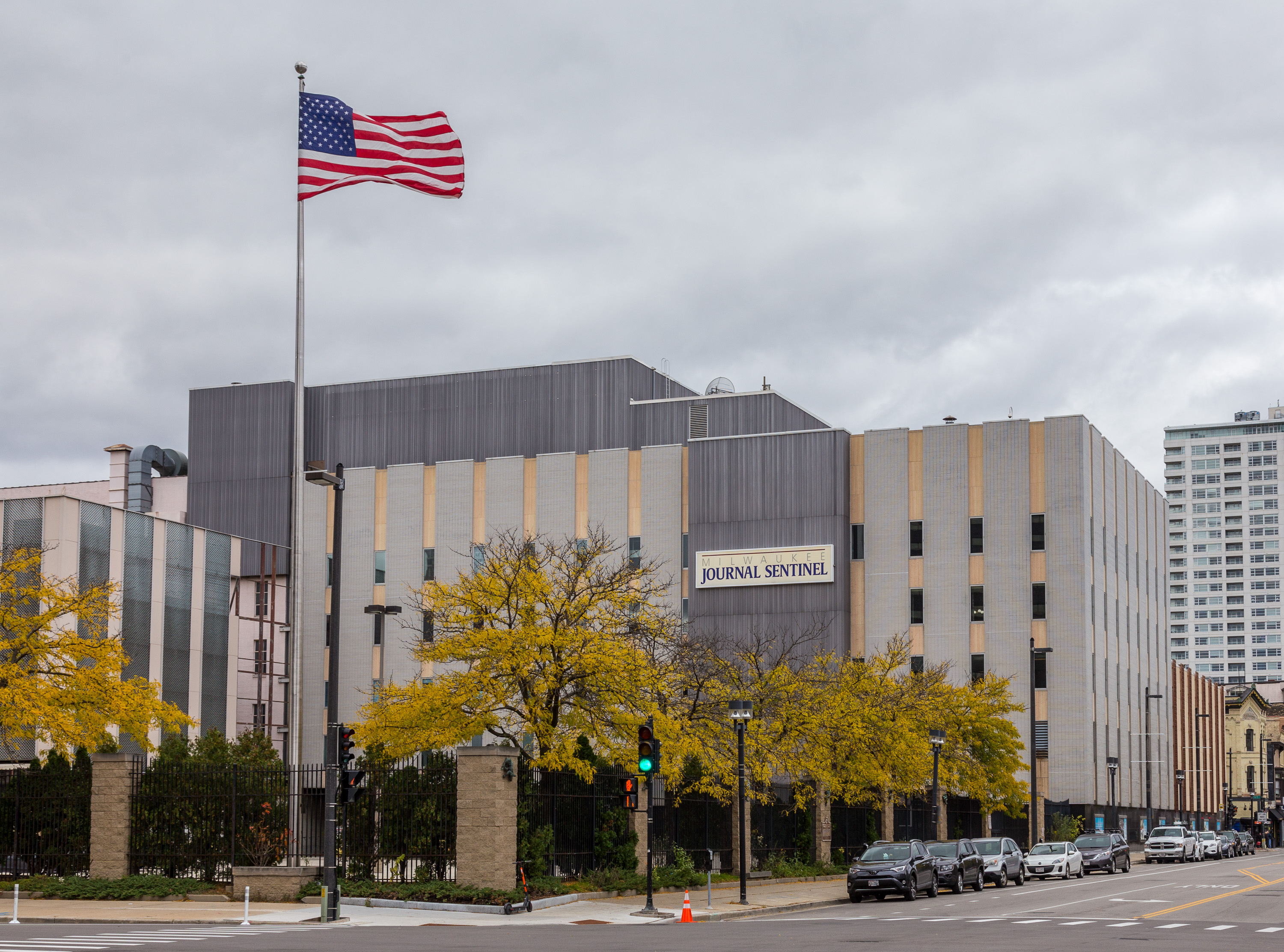
The ''Milwaukee Journal Sentinel'' is a daily morning broadsheet printed in Milwaukee, Wisconsin, where it is the primary newspaper. It is also the largest newspaper in the state of Wisconsin, where it is widely distributed. It is currently owned by the Gannett Company.Gannett Completes Acquisition of Journal Media Group . ''USA Today'', April 11, 2016. In early 2003, the ''Milwaukee Journal Sentinel'' began printing operations at a new printing facility in West Milwaukee. In September 2006, the ''Journal Sentinel'' announced it had "signed a five-year agreement to print the national edition of '' |
Rivers Of Wisconsin
This is a list of rivers in the U.S. state of Wisconsin. By drainage basin This list is arranged by drainage basin, with respective tributaries indented under each larger stream's name. Great Lakes Drainage Lake Michigan * Menominee River **Wausaukee River ** Pike River **Pemebonwon River **Little Popple River ** Pine River *** Popple River ** Brule River * Peshtigo River **Little Peshtigo River ** Thunder River **Rat River ***Indian River * Oconto River **Little River * Pensaukee River *Little Suamico River * Suamico River ** Potter Creek * Fox River **East River ** Fond du Lac River ** Wolf River ***Pine River ***Rat River *** Waupaca River ****Crystal River **** Tomorrow River ***Little Wolf River *** Embarrass River ****Pigeon River ***Shioc River *** Red River *** Evergreen River ***Lily River ***Hunting River **White River **Mecan River **Grand River ** Montello River *Red River * Mink River *Ahnapee River * Kewaunee River * East Twin River * West Twin River ** Devi ... [...More Info...] [...Related Items...] OR: [Wikipedia] [Google] [Baidu] |


