|
USS Wilkes (DD-441)
USS ''Wilkes'' (DD-441) was a commissioned in the United States Navy from 1941 to 1946. After spending several decades in the reserve fleet, the destroyer was scrapped in 1972. History Construction ''Wilkes'' was the third ship of the U.S. Navy to be named for Charles Wilkes, who was an American naval officer and explorer. She was laid down on 1 November 1939 by the Boston Navy Yard, launched on 31 May 1940; sponsored by Mrs. Bessie Wilkes Styer; and commissioned on 22 April 1941. Initial operations ''Wilkes'' was ready for sea on 1 June 1941 and then conducted shakedown training off the New England coast. The destroyer arrived in Bermuda on 24 August and helped to screen the battleships and on their shakedown cruises in the Caribbean. She departed Bermuda on 9 September and, two days later, arrived back in Boston for a brief availability, setting sail on 25 September for Guantanamo Bay, Cuba, and four days of training. ''Wilkes'' left Cuban waters and, on 2 October, ar ... [...More Info...] [...Related Items...] OR: [Wikipedia] [Google] [Baidu] |
USS Wilkes (DD-441) Underway In May 1943
USS ''Wilkes'' may refer to: *, a torpedo boat which served around the turn of the 20th century *, a destroyer which served during World War I *, a destroyer which served during World War II See also * * Charles Wilkes Charles Wilkes (April 3, 1798 – February 8, 1877) was an American naval officer, ship's captain, and List of explorers, explorer. He led the United States Exploring Expedition (1838–1842). During the American Civil War between 1861 and 1865 ... {{DEFAULTSORT:Wilkes United States Navy ship names ... [...More Info...] [...Related Items...] OR: [Wikipedia] [Google] [Baidu] |
Battleship
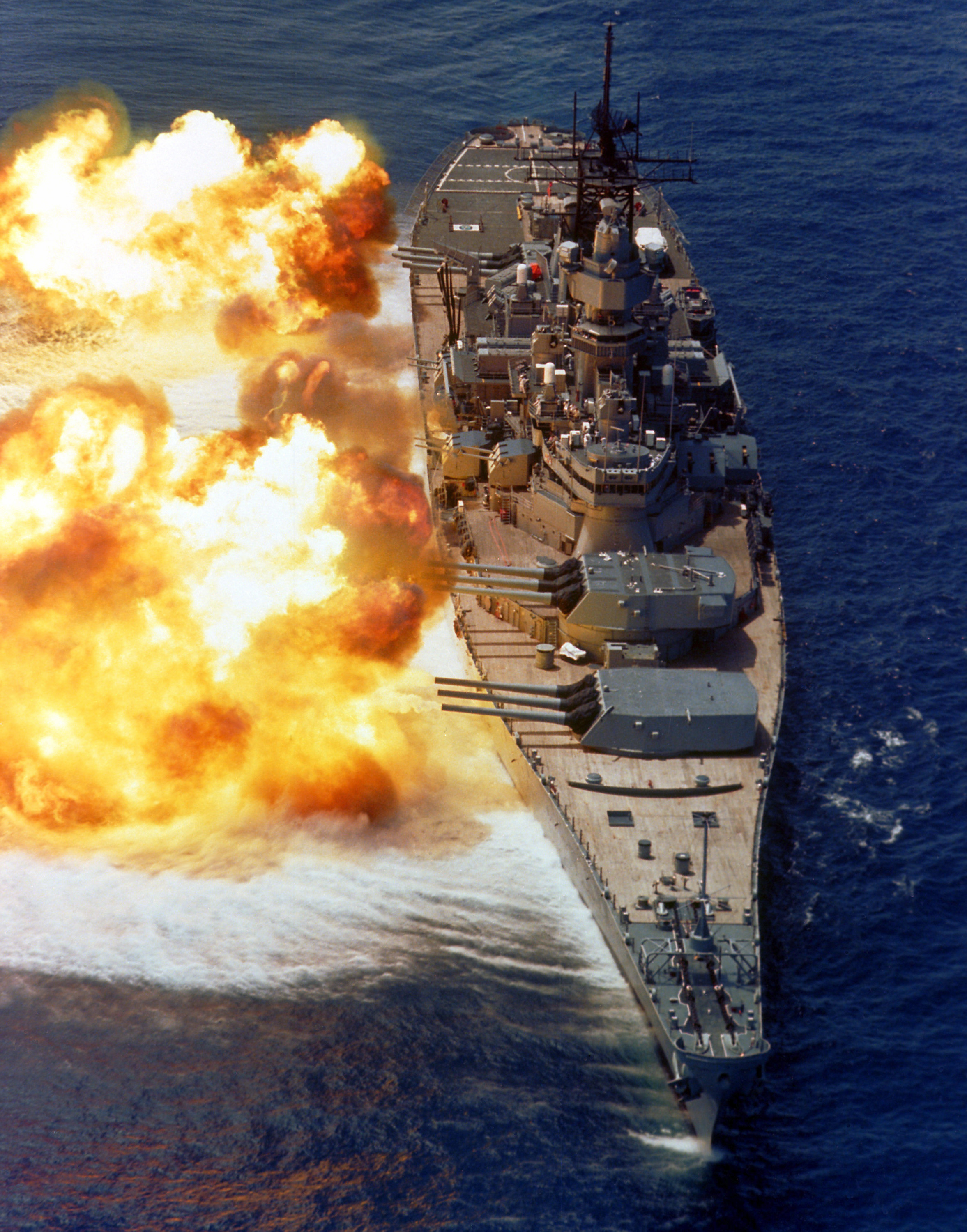
A battleship is a large, heavily naval armour, armored warship with a main battery consisting of large naval gun, guns, designed to serve as a capital ship. From their advent in the late 1880s, battleships were among the largest and most formidable weapon systems ever built, until they were surpassed by aircraft carriers beginning in the 1940s. The modern battleship traces its origin to the sailing ship of the line, which was developed into the steam ship of the line and soon thereafter the ironclad warship. After a period of extensive experimentation in the 1870s and 1880s, ironclad design was largely standardized by the British , which are usually referred to as the first "pre-dreadnought battleships". These ships carried an armament that usually included four large guns and several medium-caliber guns that were to be used against enemy battleships, and numerous small guns for self-defense. Naval powers around the world built dozens of pre-dreadnoughts in the 1890s and early ... [...More Info...] [...Related Items...] OR: [Wikipedia] [Google] [Baidu] |
Iceland
Iceland is a Nordic countries, Nordic island country between the Atlantic Ocean, North Atlantic and Arctic Oceans, on the Mid-Atlantic Ridge between North America and Europe. It is culturally and politically linked with Europe and is the region's westernmost and most list of countries and dependencies by population density, sparsely populated country. Its Capital city, capital and largest city is Reykjavík, which is home to about 36% of the country's roughly 380,000 residents (excluding nearby towns/suburbs, which are separate municipalities). The official language of the country is Icelandic language, Icelandic. Iceland is on a rift between Plate tectonics, tectonic plates, and its geologic activity includes geysers and frequent Types of volcanic eruptions, volcanic eruptions. The interior consists of a volcanic plateau with sand and lava fields, mountains and glaciers, and many Glacial stream, glacial rivers flow to the sea through the Upland and lowland, lowlands. Iceland i ... [...More Info...] [...Related Items...] OR: [Wikipedia] [Google] [Baidu] |
Convoy
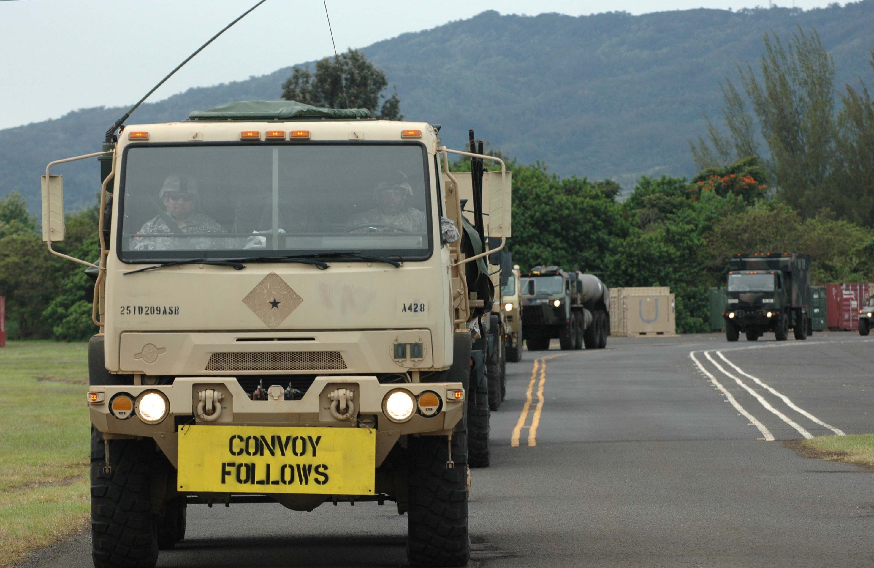
A convoy is a group of vehicles, typically motor vehicles or ships, traveling together for mutual support and protection. Often, a convoy is organized with armed defensive support and can help maintain cohesion within a unit. It may also be used in a non-military sense, for example when driving through remote areas. Naval convoys Age of Sail Naval convoys have been in use for centuries, with examples of merchant ships traveling under naval protection dating to the 12th century. The use of organized naval convoys dates from when ships began to be separated into specialist classes and national navies were established. By the French Revolutionary Wars of the late 18th century, effective naval convoy tactics had been developed to ward off pirates and privateers. Some convoys contained several hundred merchant ships. The most enduring system of convoys were the Spanish treasure fleets, that sailed from the 1520s until 1790. When merchant ships sailed independently, a privateer c ... [...More Info...] [...Related Items...] OR: [Wikipedia] [Google] [Baidu] |
Cape Sable, Nova Scotia
Cape Sable Island, locally referred to as Cape Island, is a small Canadian island at the southernmost point of the Nova Scotia peninsula. It is sometimes confused with Sable Island. Historically, the Argyle, Nova Scotia region was known as Cape Sable and encompassed a much larger area than simply the island it does today. It extended from Cape Negro through Chebogue. The island is situated in Shelburne County south of Barrington Head, separated from the mainland by the narrow strait of Barrington Passage, but has been connected since 1949 by a causeway. The largest community on the island is the town of Clark's Harbour. Other communities are listed below. At the extreme southern tip is Cape Sable. History Cape Sable was first inhabited by the Mi'kmaq, who called the area and generally the island itself "Kespoogwitik", meaning "where the land ends". Cape Sable Island was charted by explorers from Portugal who named it "Beusablom", meaning "Sandy Bay". French Colony Cape S ... [...More Info...] [...Related Items...] OR: [Wikipedia] [Google] [Baidu] |
Dominion Of Newfoundland
Newfoundland was a British dominion in eastern North America, today the modern Canadian province of Newfoundland and Labrador. It included the island of Newfoundland, and Labrador on the continental mainland. Newfoundland was one of the original dominions under the Balfour Declaration of 1926, and accordingly enjoyed a constitutional status equivalent to the other dominions of the time. Its dominion status was confirmed by the Statute of Westminster, 1931, although the statute was not otherwise applicable to Newfoundland. In 1934, Newfoundland became the only dominion to give up its self-governing status, which ended 79 years of self-government. The abolition of self-government came about because of a crisis in Newfoundland's public finances in 1932. Newfoundland had accumulated a significant amount of debt by building a railway across the island, which was completed in the 1890s, and by raising its own regiment during the First World War. In November 1932, the governmen ... [...More Info...] [...Related Items...] OR: [Wikipedia] [Google] [Baidu] |
Naval Station Argentia
Naval Station Argentia is a former base of the United States Navy that operated from 1941 to 1994. It was established in the community of Argentia in the Dominion of Newfoundland, which later became the tenth Canadian province, Newfoundland and Labrador. Construction Established under the British-US destroyers for bases agreement of 1940, the base was first occupied on 25 January 1941 following the expropriation of the flat headland formed by a small natural bay called Little Placentia Sound and the western end facing Placentia Bay by the Newfoundland government; over 400 families were displaced. Civilian construction crews from civilian contractors George A. Fuller Company and Merritt-Chapman and Scott Corporation, rushed to build the base as well as an adjoining air field. On 15 July 1941, the Naval Operating Base was commissioned. On 12 October 1942 the 17th Naval Construction Battalion began to arrive at the base and worked jointly with the civilians until 5 May 1943. A ... [...More Info...] [...Related Items...] OR: [Wikipedia] [Google] [Baidu] |
Provincetown, Massachusetts
Provincetown () is a New England town located at the extreme tip of Cape Cod in Barnstable County, Massachusetts, in the United States. A small coastal resort town with a year-round population of 3,664 as of the 2020 United States census, Provincetown has a summer population as high as 60,000. Often called "P-town" or "Ptown", the locale is known as a vacation destination for its beaches, Provincetown Harbor, harbor, artists and tourist industry. History At the time of European encounter, the area was long settled by the historic Nauset tribe, who had a settlement known as "Meeshawn". They spoke Massachusett language, Massachusett, a Southern New England Algonquian languages, Algonquian language dialect that they shared in common with their closely related neighbors, the Wampanoag people, Wampanoag. On May 15, 1602, having made landfall from the west and believing it to be an island, Bartholomew Gosnold initially named this area "Shoal Hope". Later that day, after catching ... [...More Info...] [...Related Items...] OR: [Wikipedia] [Google] [Baidu] |
Maine
Maine ( ) is a U.S. state, state in the New England region of the United States, and the northeasternmost state in the Contiguous United States. It borders New Hampshire to the west, the Gulf of Maine to the southeast, and the Provinces and territories of Canada, Canadian provinces of New Brunswick and Quebec to the northeast and northwest, and shares a maritime border with Nova Scotia. Maine is the largest U.S. state, state in New England by total area, nearly larger than the combined area of the remaining five states. Of the List of states and territories of the United States, 50 U.S. states, it is the List of U.S. states and territories by area, 12th-smallest by area, the List of U.S. states and territories by population, 9th-least populous, the List of U.S. states by population density, 13th-least densely populated, and the most rural. Maine's List of capitals in the United States, capital is Augusta, Maine, Augusta, and List of municipalities in Maine, its most populous c ... [...More Info...] [...Related Items...] OR: [Wikipedia] [Google] [Baidu] |
Casco Bay
Casco Bay is an bay, open bay of the Gulf of Maine on the coast of Maine in the United States. The National Oceanic and Atmospheric Administration's chart for Casco Bay marks the dividing line between the bay and the Gulf of Maine as running from Bald Head on Cape Small in Phippsburg, Maine, Phippsburg west-southwest to Cape Elizabeth Light, Dyer Point in Cape Elizabeth, Maine, Cape Elizabeth. The city of Portland, Maine, Portland and the Port of Portland (Maine), Port of Portland are on Casco Bay's western edge. Name origin There are multiple theories about the origin of the name "Casco Bay". ''Aucocisco'', an Anglicisation of the Abenaki name for the bay, means "place of herons", "marshy place", or "place of slimy mud". The explorer Estêvão Gomes mapped Maine's coast in 1525 and named the bay "Bahía de Cascos", translated as "Bay of Helmets", based on its shape. Colonel Wolfgang William Römer, an English military engineer, reported in 1700 that the bay had "as many islands ... [...More Info...] [...Related Items...] OR: [Wikipedia] [Google] [Baidu] |
Gravesend Bay, New York
Gravesend is a neighborhood in the south-central section of the New York City Boroughs of New York City, borough of Brooklyn, on the southwestern edge of Long Island in the United States, U.S. state of New York (state), New York. It is bounded by the Belt Parkway to the south, Bay Parkway (Brooklyn), Bay Parkway to the west, Avenue P to the north, and Ocean Parkway (Brooklyn), Ocean Parkway to the east. Gravesend was one of the original Administrative divisions of New York (state), towns in the Dutch colony of New Netherland. After the English took over, it was one of the six original towns of Brooklyn, Kings County in colonial New York (state), New York. Gravesend was the only English chartered town in what became Kings County, and is notable as being one of the first towns founded by a woman, Deborah Moody, Lady Deborah Moody. The Town of Gravesend encompassed in southern Kings County, including the entire peninsula of Coney Island, and was annexed by the Brooklyn, City of Br ... [...More Info...] [...Related Items...] OR: [Wikipedia] [Google] [Baidu] |
Hampton Roads, Virginia
Hampton Roads is a body of water in the United States that serves as a wide channel for the James, Nansemond, and Elizabeth rivers between Old Point Comfort and Sewell's Point near where the Chesapeake Bay flows into the Atlantic Ocean. It also gave its name to the surrounding metropolitan region located in the southeastern Virginia and northeastern North Carolina portions of the Tidewater Region. Comprising the Virginia Beach–Norfolk–Newport News, VA–NC, metropolitan area and an extended combined statistical area that includes the Elizabeth City, North Carolina, micropolitan statistical area and Kill Devil Hills, North Carolina, micropolitan statistical area, Hampton Roads is known for its large military presence, ice-free harbor, shipyards, coal piers, and miles of waterfront property and beaches, all of which contribute to the diversity and stability of the region's economy. The body of water known as Hampton Roads is one of the world's largest natural harbo ... [...More Info...] [...Related Items...] OR: [Wikipedia] [Google] [Baidu] |


